Hoby with Rotherby
Civil Parish in Leicestershire Melton
England
Hoby with Rotherby
Hoby with Rotherby is a civil parish located in the county of Leicestershire, England. It is situated in the East Midlands region and lies approximately 10 miles northeast of the city of Leicester. The civil parish is made up of two villages, Hoby and Rotherby, which are located adjacent to each other.
Hoby with Rotherby is known for its picturesque countryside and rural charm. The villages are surrounded by rolling hills, lush green fields, and meandering streams, offering stunning views and a tranquil environment. The area is a popular destination for nature lovers, hikers, and those seeking a peaceful retreat from the bustling city life.
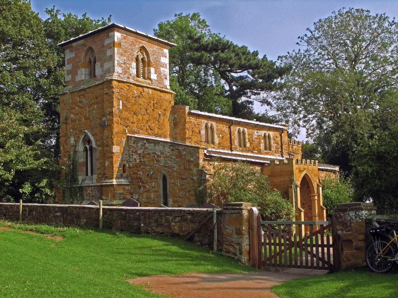
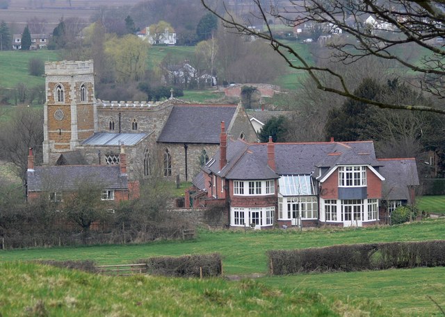
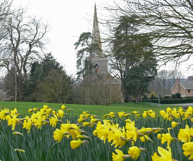
The villages themselves are small and quaint, with a population of around 300 residents. Hoby is the larger of the two villages and is home to the parish church, St. Mary's, which dates back to the 13th century. The church is a notable landmark and attracts visitors interested in its architectural and historical significance.
Rotherby, on the other hand, is a smaller village but equally charming. It is primarily a residential area with a few amenities such as a village hall and a pub, offering a sense of community to its residents.
Overall, Hoby with Rotherby is a picturesque and idyllic civil parish that showcases the beauty of the Leicestershire countryside. It offers a peaceful and scenic environment for residents and visitors alike, providing a welcome escape from the hustle and bustle of city life.
If you have any feedback on the listing, please let us know in the comments section below.
Hoby with Rotherby Images
Images are sourced within 2km of 52.753517/-1.010912 or Grid Reference SK6617. Thanks to Geograph Open Source API. All images are credited.


Hoby with Rotherby is located at Grid Ref: SK6617 (Lat: 52.753517, Lng: -1.010912)
Administrative County: Leicestershire
District: Melton
Police Authority: Leicestershire
What 3 Words
///wreck.patrol.digress. Near Asfordby, Leicestershire
Nearby Locations
Related Wikis
Hoby with Rotherby
Hoby with Rotherby is a civil parish in Leicestershire, England. In the 2001 census it had a population of 594, reducing to 556 at the time of the 2011...
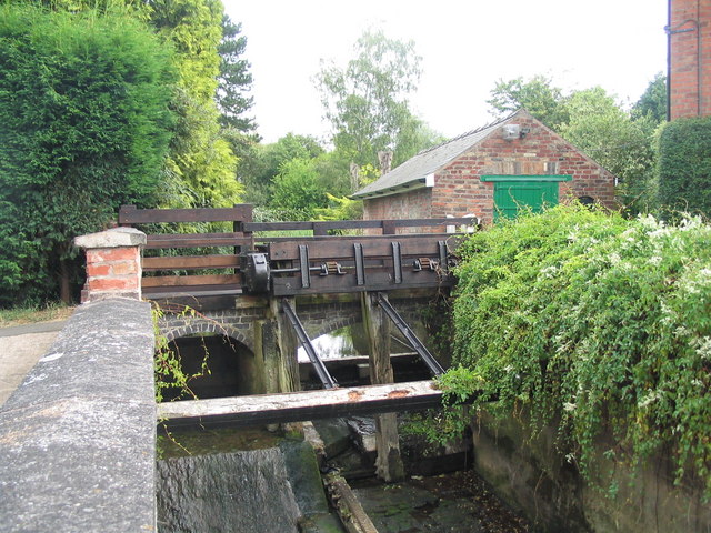
Melton Mowbray Navigation
The Melton Mowbray Navigation was formed when the River Wreake in Leicestershire, England, was made navigable upstream from its junction with the River...
Rotherby
Rotherby is a village and former civil parish, 9 miles (14 km) north east of Leicester, now in the parish of Hoby with Rotherby, in the Melton district...
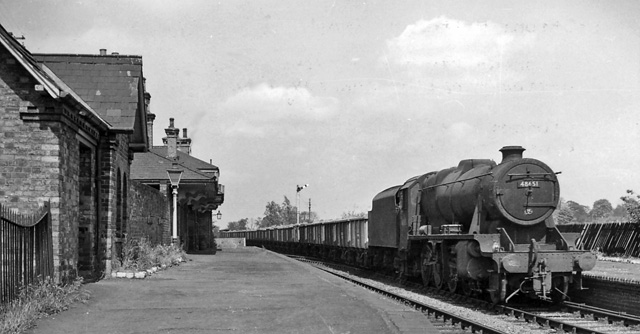
Brooksby railway station
Brooksby railway station was a former station serving the villages of Brooksby, Hoby and Rotherby in Leicestershire. The station was situated at a level...
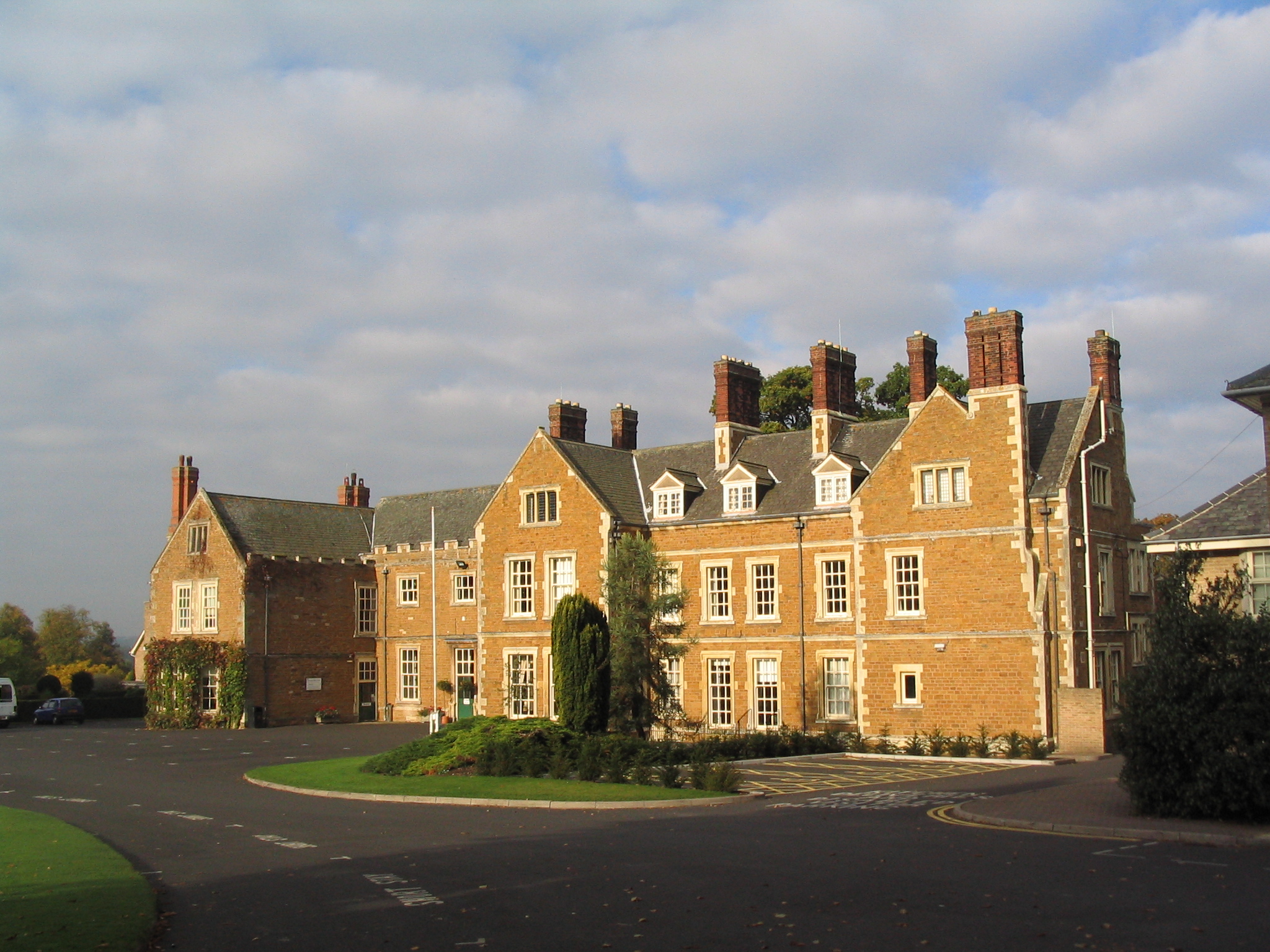
Brooksby Hall
Brooksby Hall is a late–16th-century manor house on 3.2 square kilometres (800 acres) of land between Leicester and Melton Mowbray. Situated 13 kilometres...
Brooksby
Brooksby is a deserted village and former civil parish, now in the parish of Hoby with Rotherby, in the Melton district, in Leicestershire, England. It...
Church of St Michael and All Angels, Brooksby
The Church of St Michael and All Angels is a church in Brooksby, Leicestershire. It is a Grade II* listed building. == History == The church lies within...

Frisby Marsh
Frisby Marsh is a 10.2-hectare (25-acre) biological Site of Special Scientific Interest east of Frisby on the Wreake in Leicestershire.This site has spring...
Nearby Amenities
Located within 500m of 52.753517,-1.010912Have you been to Hoby with Rotherby?
Leave your review of Hoby with Rotherby below (or comments, questions and feedback).