Highworth
Civil Parish in Wiltshire
England
Highworth
Highworth is a civil parish located in the county of Wiltshire, England. It is situated in the northern part of the county, approximately 6 miles northeast of Swindon. The town lies on the edge of the Cotswold Hills, offering picturesque views of the surrounding countryside.
Highworth has a rich history dating back to Roman times, with evidence of settlements in the area. The town's name is derived from the Old English words 'heah' and 'worth', meaning 'high enclosure or farm'. It was once a market town and played a significant role in the wool trade during the medieval period.
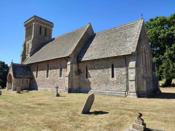
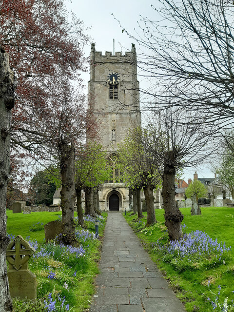
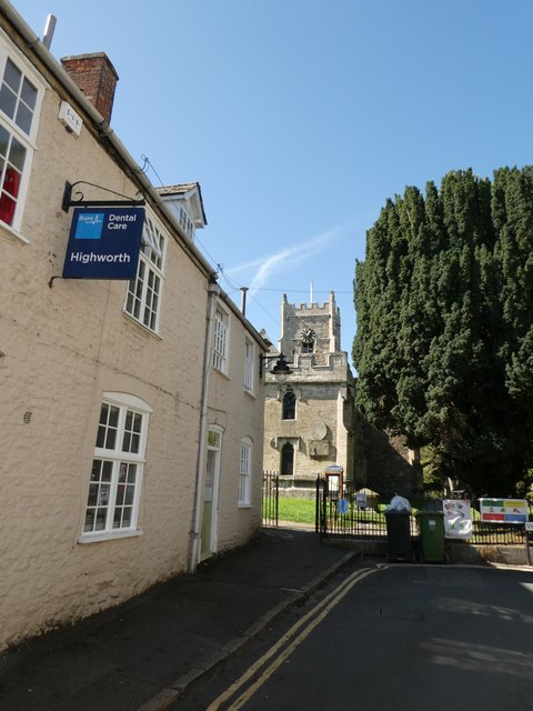
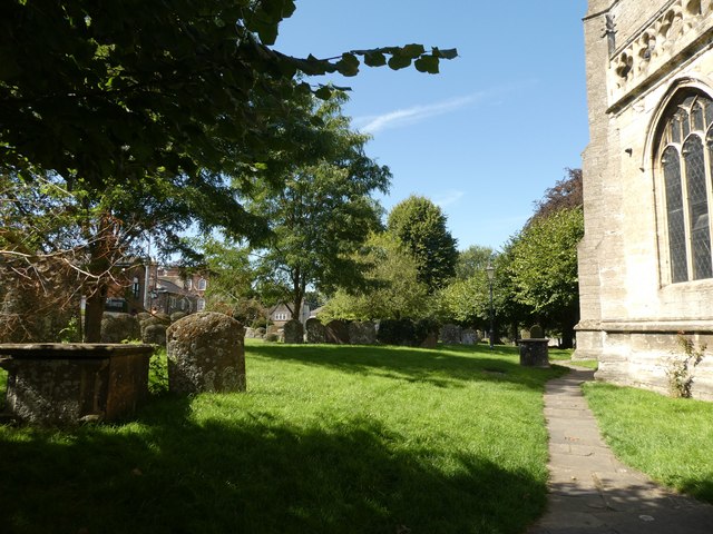
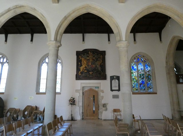
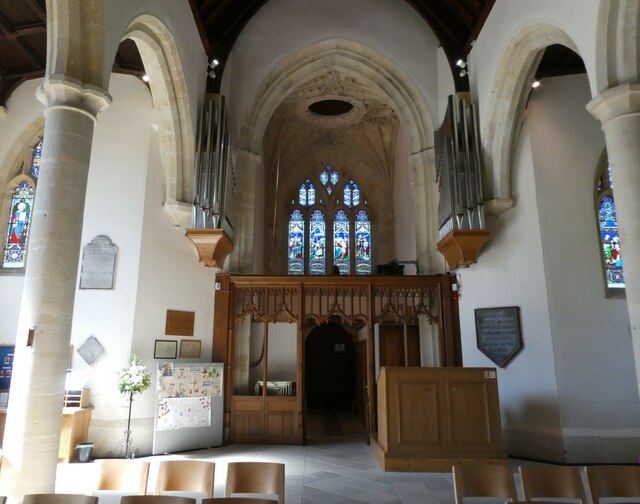
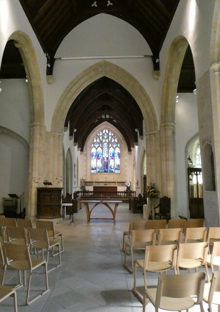
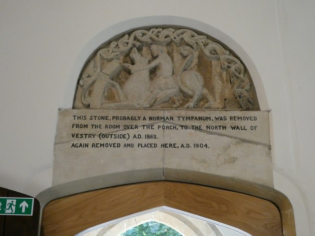
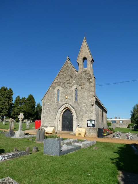
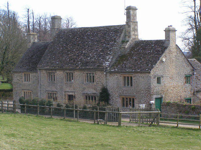
Today, Highworth is a thriving community with a population of around 8,500 people. The town center is characterized by its historic buildings, including the 13th-century St. Michael's Church and the Old Manor House, which dates back to the 17th century.
The local economy is diverse, with a mix of independent shops, restaurants, and businesses. High Street, the main thoroughfare, is home to a range of shops catering to residents' needs. The town also benefits from good transport links, with easy access to the A419 road and proximity to Swindon, making it a popular choice for commuters.
Highworth is surrounded by beautiful countryside, making it an ideal location for outdoor enthusiasts. The nearby Cotswold Water Park offers a range of recreational activities, including water sports and walking trails. The town also hosts various events throughout the year, such as the Highworth Music Festival and the Highworth Carnival, attracting visitors from near and far.
If you have any feedback on the listing, please let us know in the comments section below.
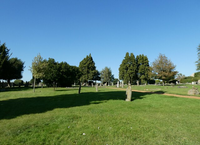
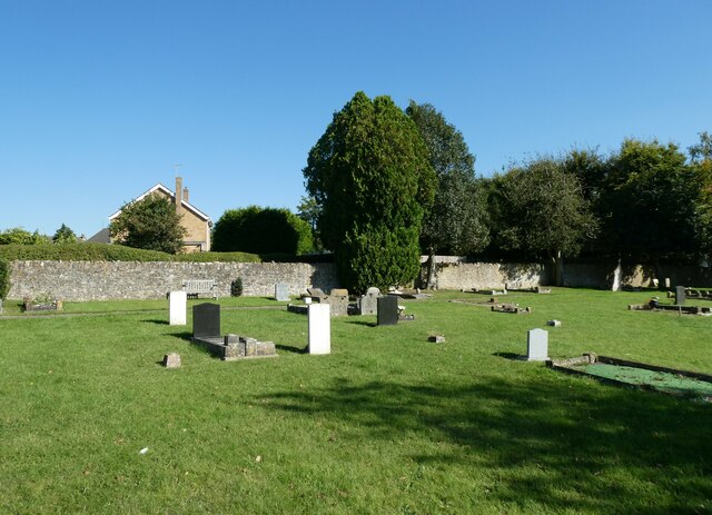
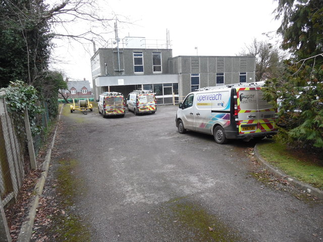
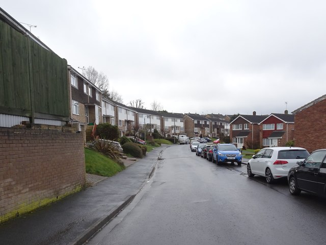
Highworth Images
Images are sourced within 2km of 51.628984/-1.703524 or Grid Reference SU2092. Thanks to Geograph Open Source API. All images are credited.
Highworth is located at Grid Ref: SU2092 (Lat: 51.628984, Lng: -1.703524)
Unitary Authority: Swindon
Police Authority: Wiltshire
What 3 Words
///novels.workshop.inclines. Near Highworth, Wiltshire
Related Wikis

Highworth Warneford School
Highworth Warneford School is a coeducational secondary school in the small town of Highworth, north of Swindon, Wiltshire, England. == History == Warneford...

Highworth
Highworth is a market town and civil parish in the Borough of Swindon, England, about 6 miles (10 km) north-east of Swindon town centre. The 2021 Census...
Highworth Town F.C.
Highworth Town Football Club is a football club based in Highworth, Wiltshire, England. They are currently members of the Hellenic League Premier Division...

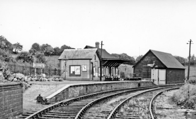
Highworth railway station
Highworth railway station served the town of Highworth, Wiltshire, England, from 1883 to 1962 on the Highworth branch line. The station was opened on 9...
Highworth Rural District
Highworth Rural District was a rural district in the county of Wiltshire, England. It lay to the north and east of the town and municipal borough of Swindon...

Warneford Place
Warneford Place, also known as Sevenhampton Place, is a Grade II listed country house in Sevenhampton, south of Highworth, in Wiltshire, England. The main...
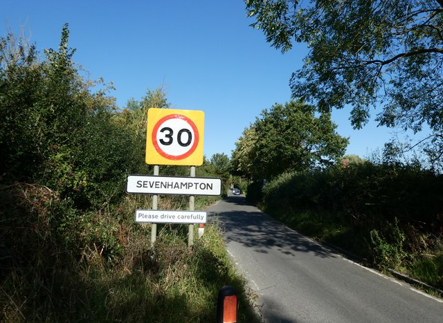
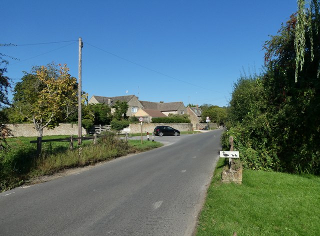
Sevenhampton, Wiltshire
Sevenhampton is a small village in Highworth parish in the borough of Swindon, in the ceremonial county of Wiltshire, England. It is about 1.4 miles (2...

Hannington railway station
Hannington railway station is a former railway station near Hannington, in Wiltshire, England on the Highworth Branch Line from Swindon. The station was...
Nearby Amenities
Located within 500m of 51.628984,-1.703524Have you been to Highworth?
Leave your review of Highworth below (or comments, questions and feedback).