Highwood
Civil Parish in Essex Chelmsford
England
Highwood
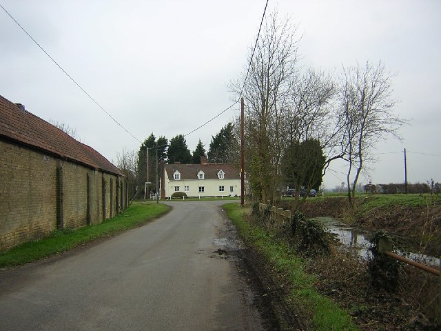
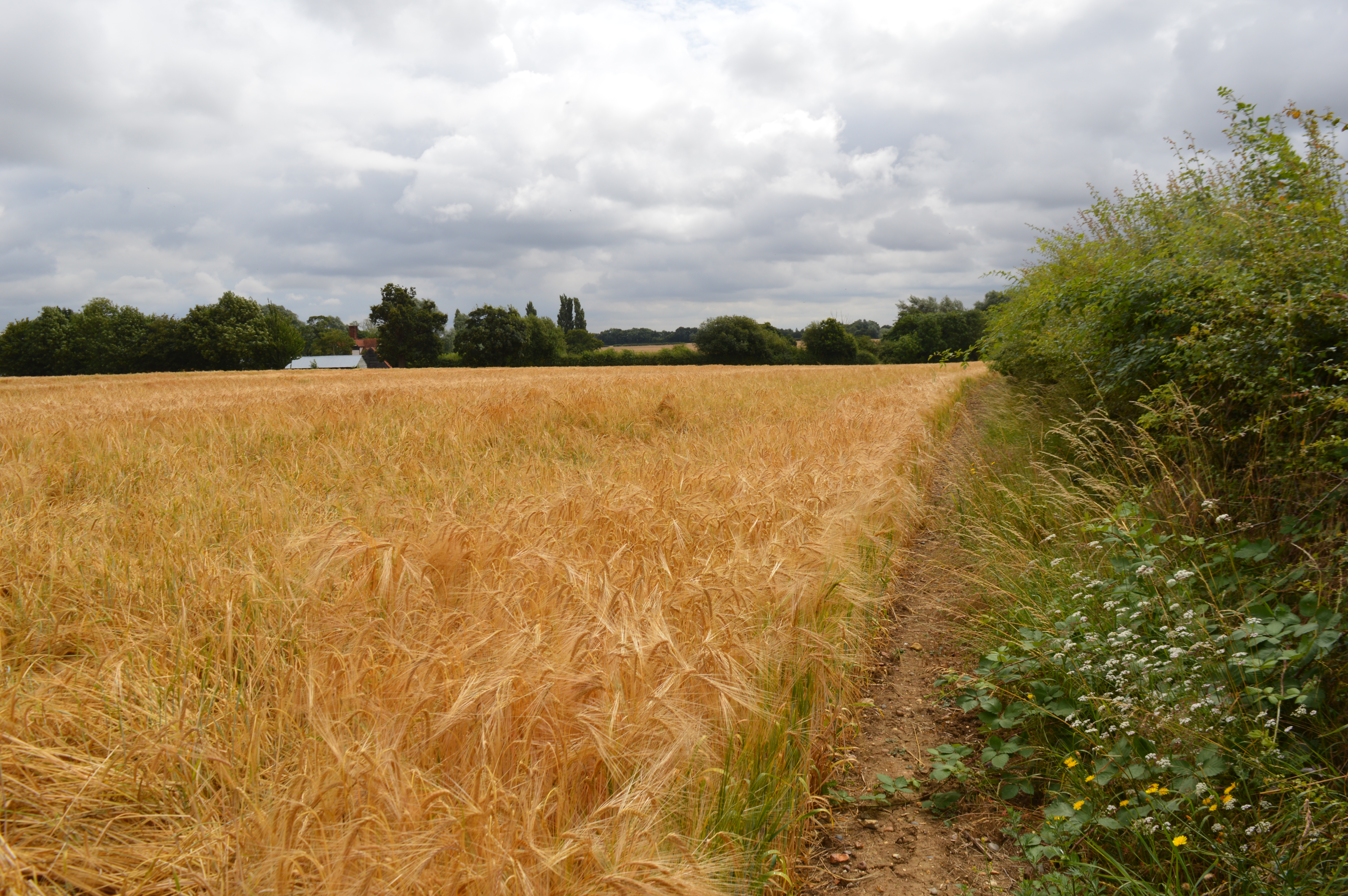
Highwood is a civil parish located in the county of Essex, England. Situated approximately 3 miles southeast of the town of Chelmsford, it covers an area of around 5.5 square miles. The parish is predominantly rural, with a mix of farmland, woods, and scattered residential properties.
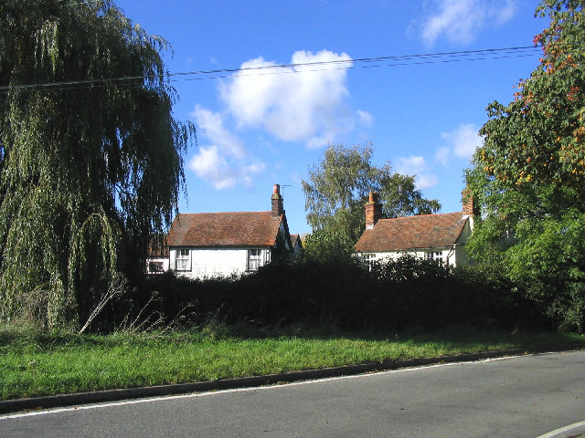
The village of Highwood itself is small, with a population of around 500 people. It is characterized by its quaint and picturesque setting, surrounded by open countryside and natural beauty. The area offers a peaceful and tranquil environment, making it an attractive place for those seeking a quiet and idyllic lifestyle.
Highwood has a rich history, with evidence of human settlement dating back to Roman times. The village has managed to preserve some of its historical charm, with several listed buildings and structures of architectural interest. These include St. Mary's Church, a Grade II listed building that dates back to the 12th century.
Despite its rural nature, Highwood benefits from its proximity to Chelmsford, which provides access to a range of amenities and services. The town offers a wide range of shopping facilities, schools, healthcare services, and recreational activities, all of which are within a short drive from Highwood.
Overall, Highwood is a peaceful and picturesque civil parish that offers a rural lifestyle within easy reach of urban amenities. Its natural beauty, historical significance, and close-knit community make it an appealing place to live for those seeking a quieter pace of life.
If you have any feedback on the listing, please let us know in the comments section below.
Highwood Images
Images are sourced within 2km of 51.710699/0.367265 or Grid Reference TL6303. Thanks to Geograph Open Source API. All images are credited.


Highwood is located at Grid Ref: TL6303 (Lat: 51.710699, Lng: 0.367265)
Administrative County: Essex
District: Chelmsford
Police Authority: Essex
What 3 Words
///carbon.jazz.sides. Near Ingatestone, Essex
Nearby Locations
Related Wikis
Highwood, Essex
Highwood is a village and civil parish in the Chelmsford district of Essex, England. The village is approximately a mile south from the A414 road and four...
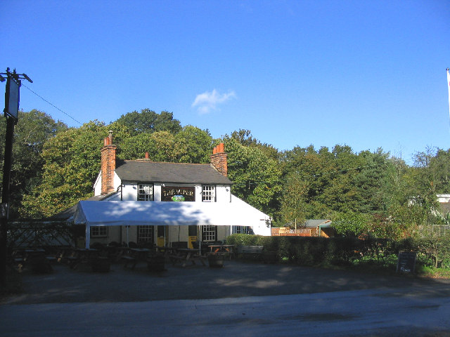
The Viper, Mill Green
The Viper is a public house at The Common, Mill Green, Essex, CM4 0PT. It is on the Campaign for Real Ale's National Inventory of Historic Pub Interiors...
Cooksmill Green
Cooksmill Green is a hamlet in both the civil parish of Roxwell and Highwood in the Chelmsford District of Essex, England. It is situated approximately...
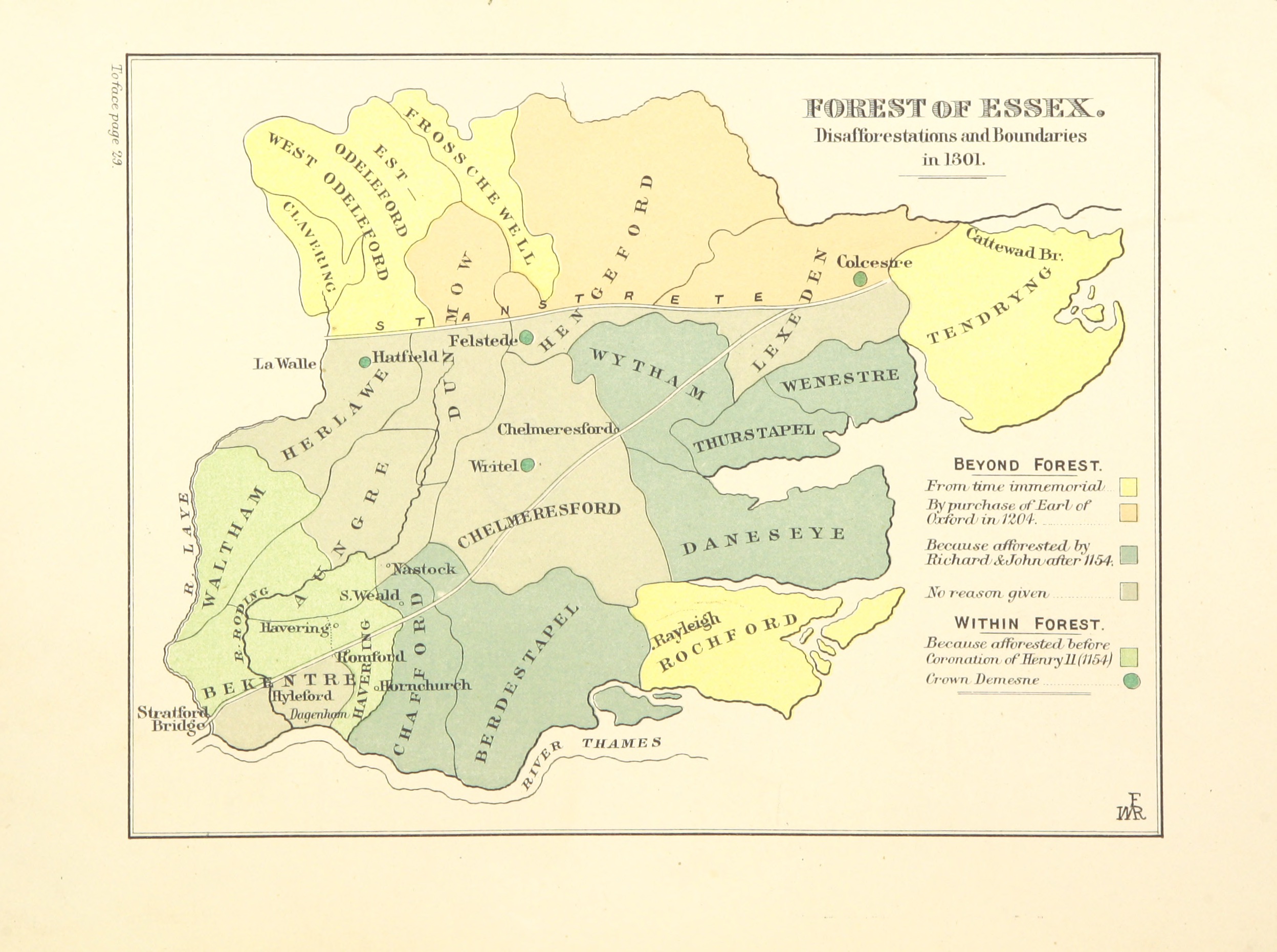
Forest of Essex
The Forest of Essex was a royal forest that existed from around 1100 and was disestablished in the 13th century. Forests were legal institutions introduced...
Newney Green Pit
Newney Green Pit is a 0.07-hectare (0.17-acre) geological Site of Special Scientific Interest west of Writtle in Essex. It is a Geological Conservation...

Mill Green, Essex
Mill Green is a hamlet in civil parish of Ingatestone and Fryerning, in the Brentwood district, in the English county of Essex. It is near the town of...
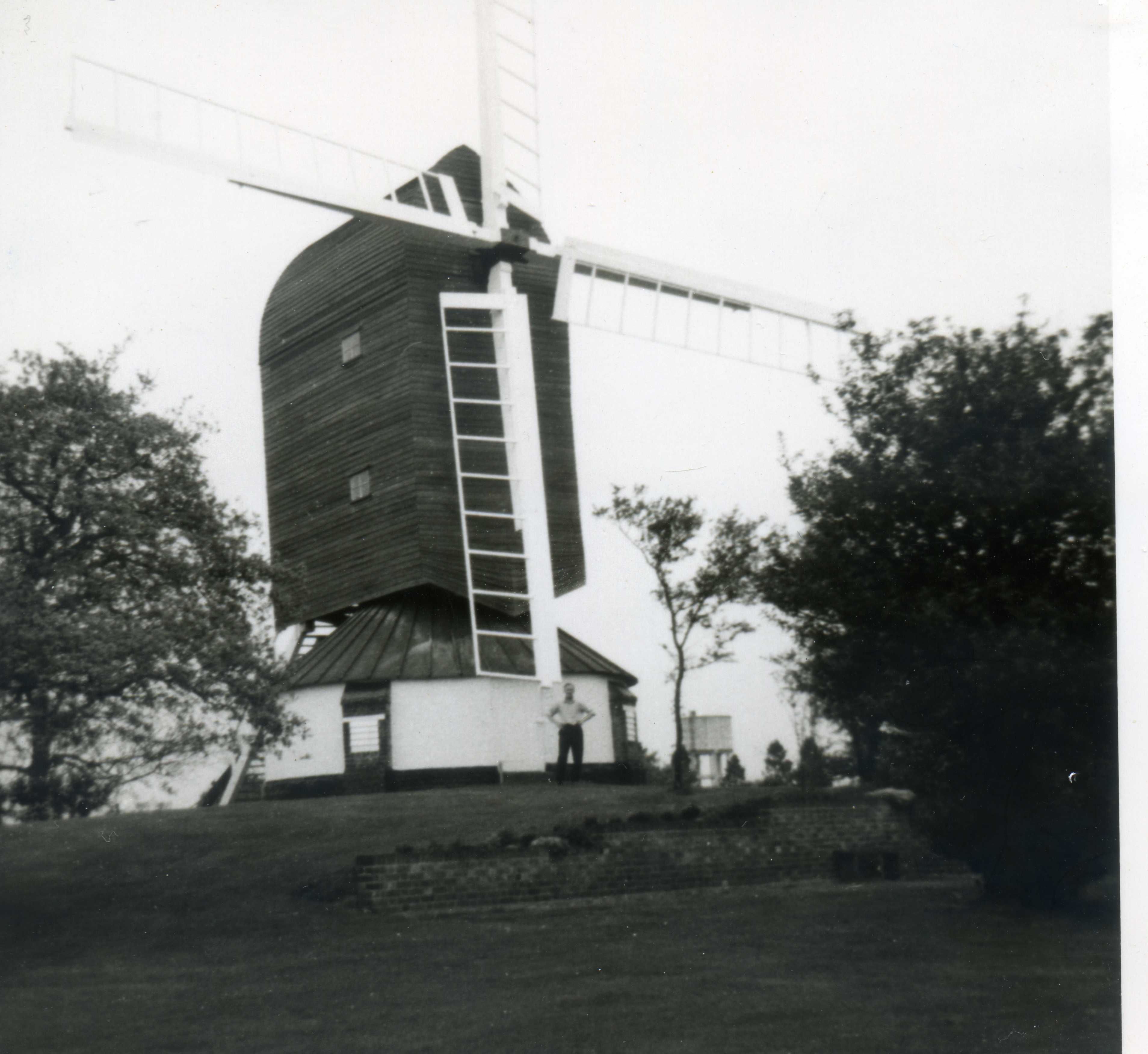
Fryerning Mill
Fryerning Mill (or Mill Green Mill) is a grade II* listed post mill at Mill Green, Fryerning, Essex, which has been restored. == History == Mill Green...
Norton Heath
Norton Heath is a hamlet in the High Ongar civil parish, and the Epping Forest District of Essex, England. The settlement is at the northeast of the parish...
Nearby Amenities
Located within 500m of 51.710699,0.367265Have you been to Highwood?
Leave your review of Highwood below (or comments, questions and feedback).