Hightown
Civil Parish in Lancashire Sefton
England
Hightown

Hightown is a civil parish located in the county of Lancashire, England. Situated on the west coast, it lies approximately 8 miles north of the city of Liverpool and 11 miles south of Southport. The parish covers an area of around 2 square miles and is bordered by the Irish Sea to the west.
Hightown is a small, coastal village with a population of around 1,500 residents. The area is known for its picturesque surroundings, with sandy beaches and sand dunes that attract visitors and tourists during the summer months. The village offers stunning views of the Welsh mountains across the sea.
The main feature of Hightown is the Hightown Dunes and Meadows Nature Reserve, a protected area that is home to a variety of flora and fauna, including rare species of orchids. This natural reserve offers opportunities for outdoor activities such as walking, birdwatching, and picnicking.
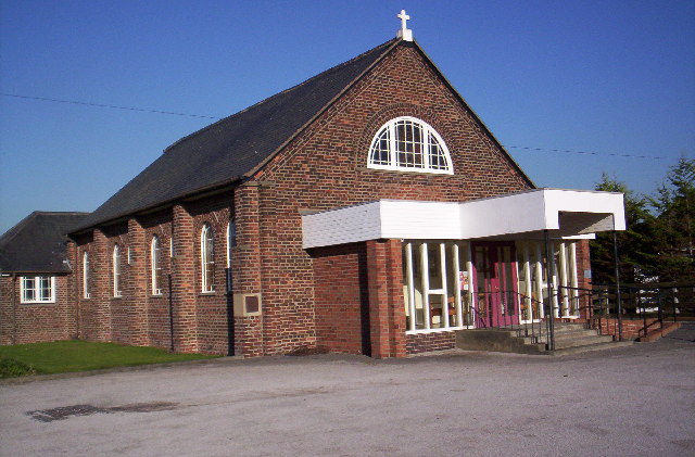
The village itself has a small range of amenities, including a post office, a convenience store, a pub, and a primary school. The nearby towns of Crosby and Formby provide additional services and facilities such as supermarkets, shops, and healthcare centers.
Hightown is accessible by road via the A565, which connects it to neighboring towns and cities. The village also has a railway station, providing regular services to Liverpool and Southport.
Overall, Hightown offers a peaceful and scenic coastal living environment, making it an attractive place for residents and tourists alike.
If you have any feedback on the listing, please let us know in the comments section below.
Hightown Images
Images are sourced within 2km of 53.518333/-3.072869 or Grid Reference SD2802. Thanks to Geograph Open Source API. All images are credited.


Hightown is located at Grid Ref: SD2802 (Lat: 53.518333, Lng: -3.072869)
Administrative County: Merseyside
District: Sefton
Police Authority: Merseyside
What 3 Words
///diverting.replying.closet. Near Hightown, Merseyside
Nearby Locations
Related Wikis

Crosby Battery
Crosby Battery, also known as Crosby Point Battery and Fort Crosby, was an artillery battery situated between Crosby and Hightown in Lancashire, United...
Hightown, Merseyside
Hightown is a village and civil parish in the Metropolitan Borough of Sefton in Merseyside, England, located midway between the city of Liverpool and the...

Hightown railway station
Hightown railway station serves the village of Hightown in Merseyside, England. The station is located on the Southport branch of the Merseyrail network...
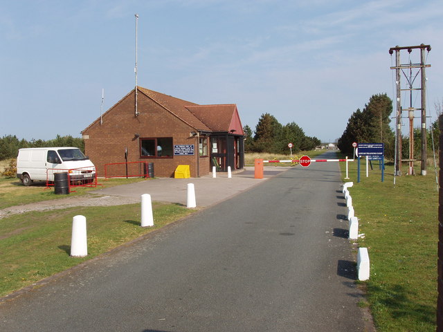
Altcar Training Camp
Altcar Training Camp is located in Hightown, Merseyside, England. The 620-acre (250 ha) estate is composed of beaches, marshland, fields and small woods...
Have you been to Hightown?
Leave your review of Hightown below (or comments, questions and feedback).