Hilborough
Civil Parish in Norfolk Breckland
England
Hilborough

Hilborough is a civil parish located in the county of Norfolk, in the eastern part of England. It is situated about 14 miles southwest of the town of Swaffham and covers an area of approximately 5 square miles. The parish is predominantly rural, characterized by its picturesque countryside and agricultural landscapes.
The village of Hilborough is the main settlement within the parish, and it has a small population of around 400 residents. The village is known for its charming, quintessentially English cottages and traditional architecture. The heart of the village is centered around St. Mary's Church, a historic building that dates back to the 14th century.
In terms of amenities, Hilborough has a community center, a primary school, and a local pub, providing basic services and a sense of community for its residents. The surrounding countryside offers ample opportunities for outdoor activities, such as walking, cycling, and exploring the nearby Thetford Forest Park.
Hilborough is also home to Hilborough Estate, a privately-owned estate that includes a grand country house and extensive grounds. The estate has a rich history and is occasionally open to the public for events and tours.
Overall, Hilborough is a peaceful and idyllic rural parish, offering a tranquil and close-knit community for its residents while also providing a scenic destination for visitors seeking a taste of traditional English countryside life.
If you have any feedback on the listing, please let us know in the comments section below.
Hilborough Images
Images are sourced within 2km of 52.573434/0.669882 or Grid Reference TF8100. Thanks to Geograph Open Source API. All images are credited.


Hilborough is located at Grid Ref: TF8100 (Lat: 52.573434, Lng: 0.669882)
Administrative County: Norfolk
District: Breckland
Police Authority: Norfolk
What 3 Words
///traffic.committed.stance. Near Mundford, Norfolk
Nearby Locations
Related Wikis
Field Barn Heaths, Hilborough
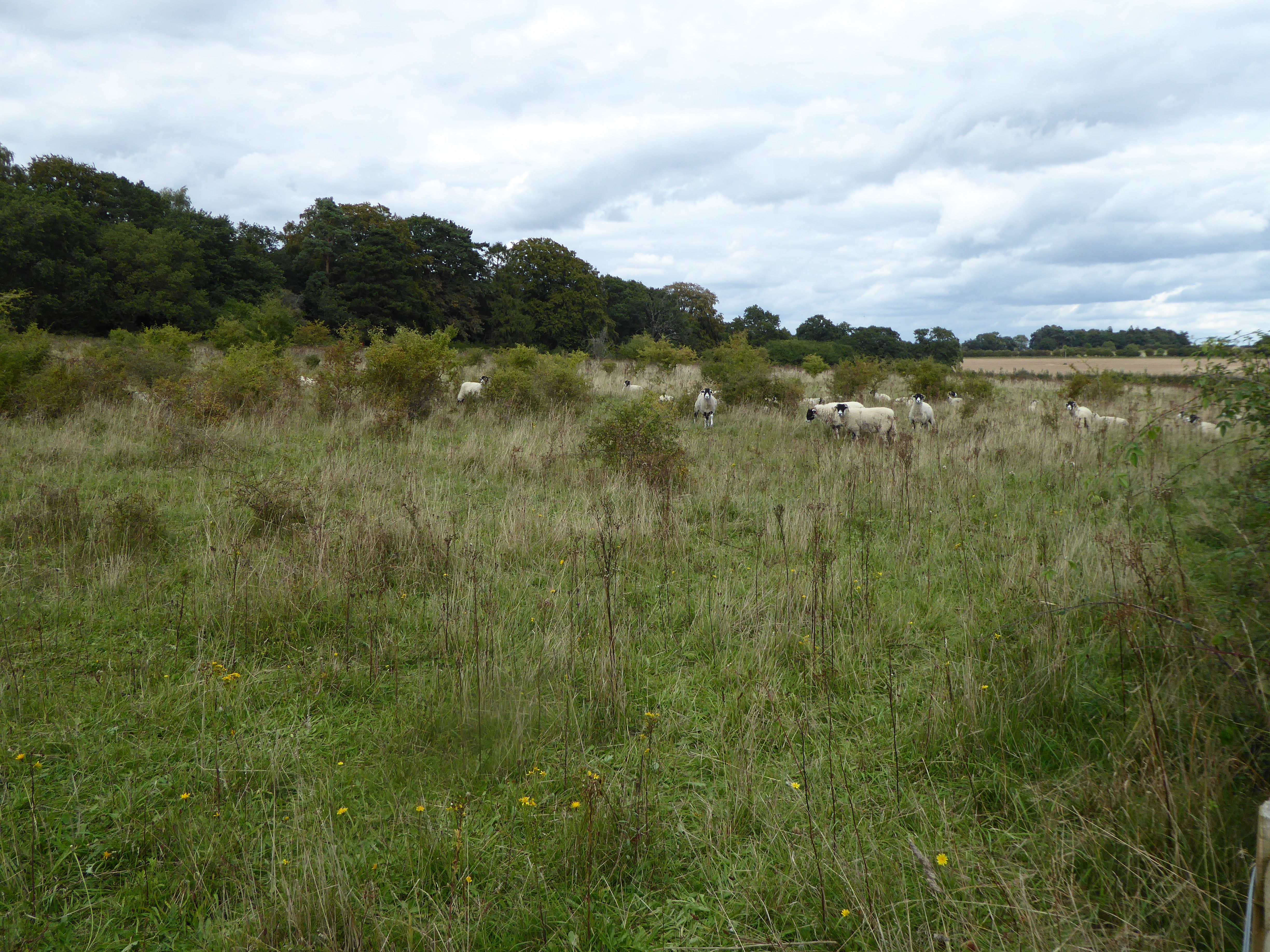
Field Barn Heaths, Hilborough is a 17.9-hectare (44-acre) biological Site of Special Scientific Interest north-west of Hilborough in Norfolk. It is part...
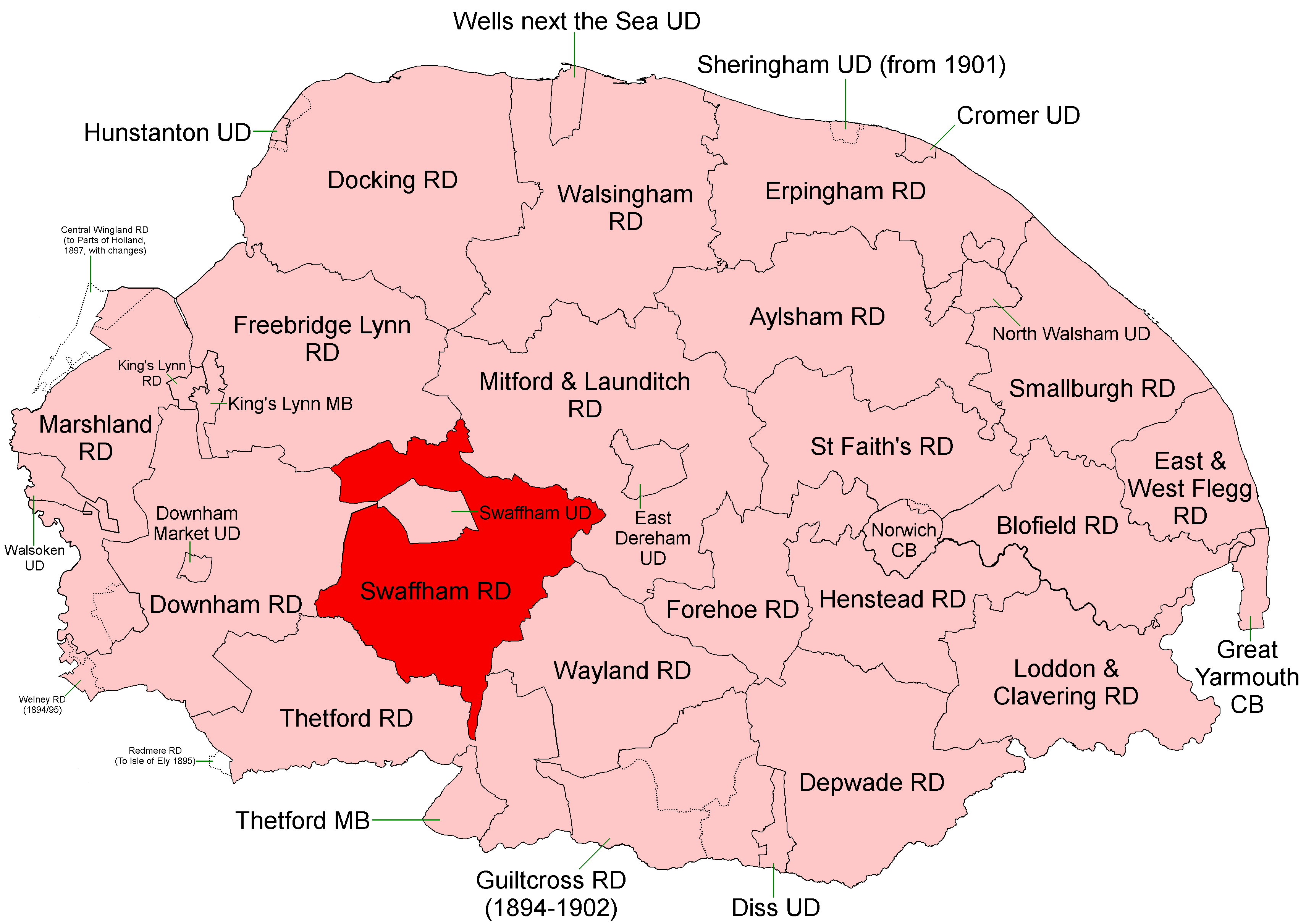
Swaffham Rural District
Swaffham Rural District was a rural district in Norfolk, England from 1894 to 1974. It was formed under the Local Government Act 1894 based on the Swaffham...
Gooderstone Warren
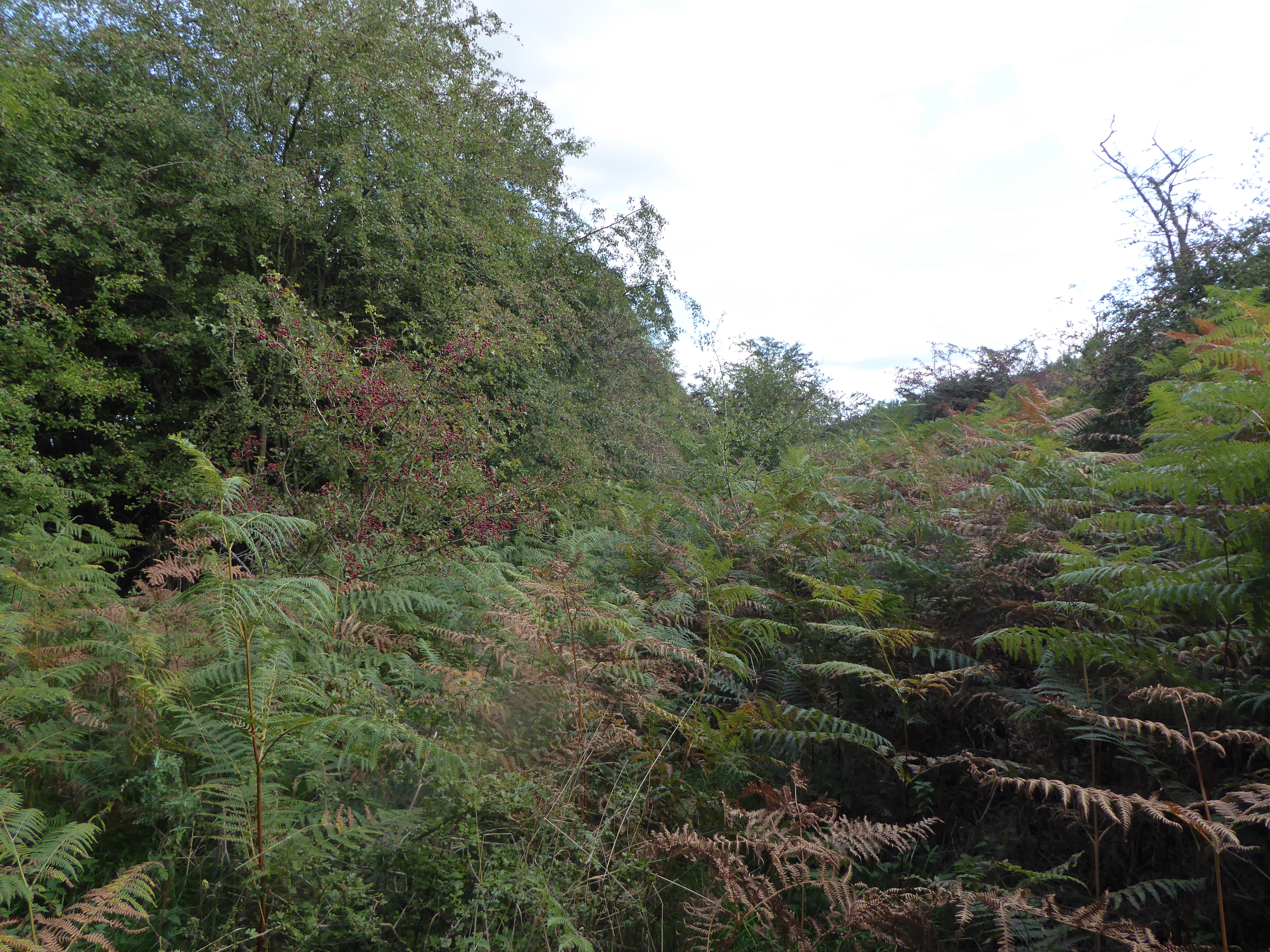
Gooderstone Warren is a 21.6-hectare (53-acre) biological Site of Special Scientific Interest south of Cockley Cley in Norfolk. It is part of the Breckland...

Hilborough
Hilborough is a village and a civil parish in the English county of Norfolk. The village is 5.5 miles (8.9 km) south of Swaffham, 25.4 miles (40.9 km)...
Have you been to Hilborough?
Leave your review of Hilborough below (or comments, questions and feedback).