Eastrop
Settlement in Wiltshire
England
Eastrop
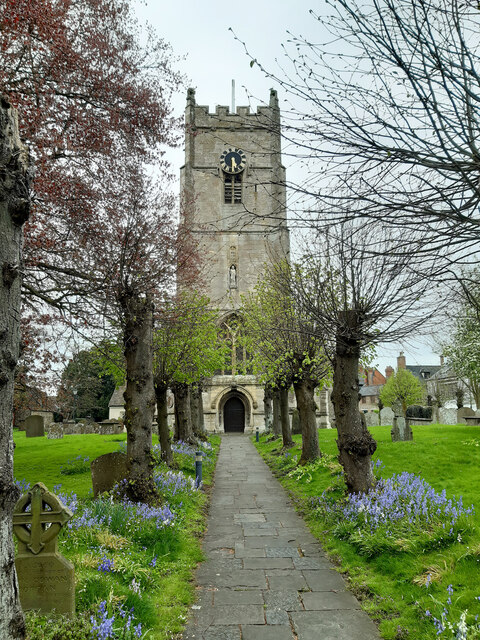
Eastrop is a small village located in the county of Wiltshire, England. Situated about 3 miles northeast of the market town of Highworth, it is nestled in the picturesque countryside of the Cotswolds Area of Outstanding Natural Beauty.
The village itself is characterized by its charming and quaint atmosphere. It is primarily residential, with a tight-knit community of around 300 residents. Eastrop is known for its traditional architecture, featuring a mix of stone cottages and larger country houses that date back several centuries.
The surrounding landscape is largely agricultural, with rolling hills and fields stretching as far as the eye can see. This makes Eastrop an attractive destination for those seeking a peaceful retreat from the bustling city life. The village is also dotted with patches of woodland, providing opportunities for scenic walks and outdoor activities.
Despite its small size, Eastrop has a few amenities to offer its residents. There is a local pub that serves as a social hub for the community, providing a place for locals to gather and enjoy a pint. The village also has a small primary school, ensuring that families have access to education within their immediate vicinity.
While Eastrop may lack the amenities and services found in larger towns, its idyllic setting and close-knit community make it a desirable place to live for those seeking a slower pace of life and a strong sense of community spirit.
If you have any feedback on the listing, please let us know in the comments section below.
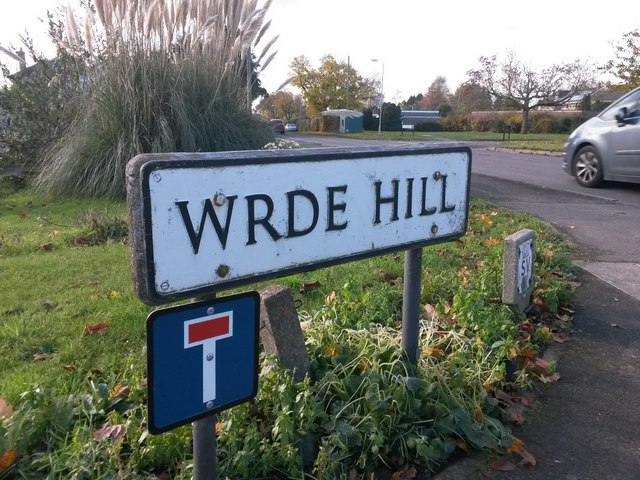
Eastrop Images
Images are sourced within 2km of 51.630528/-1.7014672 or Grid Reference SU2092. Thanks to Geograph Open Source API. All images are credited.
![Highworth houses [30] Numbers 4 and 6 Cricklade Road unusually have shutters covering the (presumably) blind central windows.](https://s2.geograph.org.uk/geophotos/06/16/53/6165346_02997173.jpg)
![Highworth houses [31] Westrop House was built in 1878 for the Lord of the Manor. Many original fine internal features remain. Listed, grade II, with details at: <span class="nowrap"><a title="https://historicengland.org.uk/listing/the-list/list-entry/1184675" rel="nofollow ugc noopener" href="https://historicengland.org.uk/listing/the-list/list-entry/1184675">Link</a><img style="margin-left:2px;" alt="External link" title="External link - shift click to open in new window" src="https://s1.geograph.org.uk/img/external.png" width="10" height="10"/></span>](https://s3.geograph.org.uk/geophotos/06/16/53/6165347_d95f7e45.jpg)
Eastrop is located at Grid Ref: SU2092 (Lat: 51.630528, Lng: -1.7014672)
Unitary Authority: Swindon
Police Authority: Wiltshire
What 3 Words
///confronts.chuck.makeovers. Near Highworth, Wiltshire
Related Wikis

Highworth Warneford School
Highworth Warneford School is a coeducational secondary school in the small town of Highworth, north of Swindon, Wiltshire, England. == History == Warneford...

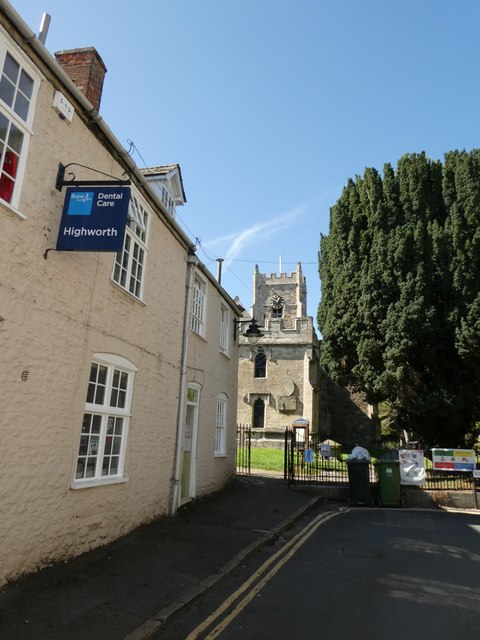
Highworth
Highworth is a market town and civil parish in the Borough of Swindon, England, about 6 miles (10 km) north-east of Swindon town centre. The 2021 Census...
Highworth Town F.C.
Highworth Town Football Club is a football club based in Highworth, Wiltshire, England. They are currently members of the Hellenic League Premier Division...

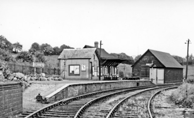
Highworth railway station
Highworth railway station served the town of Highworth, Wiltshire, England, from 1883 to 1962 on the Highworth branch line. The station was opened on 9...
Nearby Amenities
Located within 500m of 51.630528,-1.7014672Have you been to Eastrop?
Leave your review of Eastrop below (or comments, questions and feedback).