Eastside
Settlement in Orkney
Scotland
Eastside
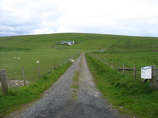
Eastside is a small settlement located in the eastern part of the Orkney Islands, an archipelago situated off the northeastern coast of mainland Scotland. The village is nestled between the larger towns of Kirkwall and Stromness, making it a peaceful and picturesque location for residents and visitors alike.
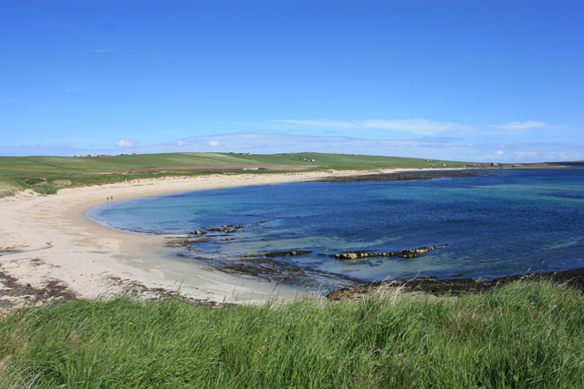
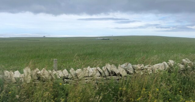
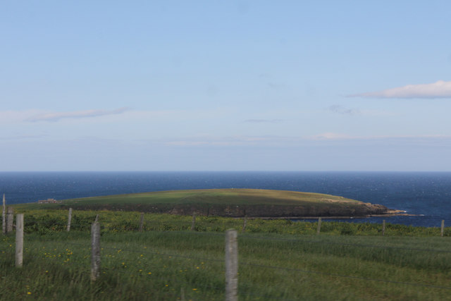
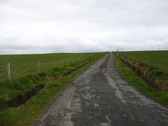
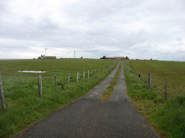
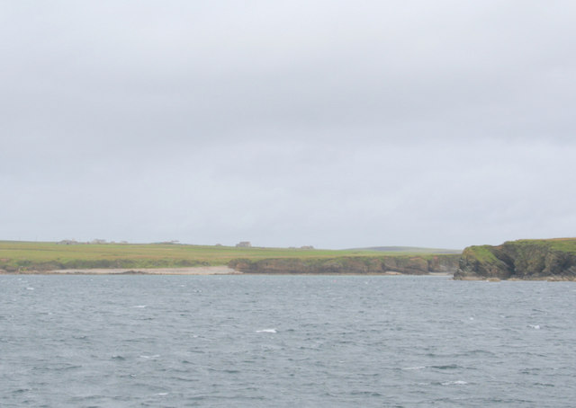
With a population of around 200 inhabitants, Eastside exudes a charming and close-knit community atmosphere. The village is known for its traditional Orkney architecture, with stone-built houses and cottages that add to its timeless appeal. The surrounding landscape is a mix of rolling green fields, rugged cliffs, and stunning sea views, providing residents with breathtaking scenery and a connection to nature.
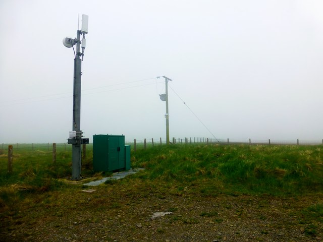
Eastside offers a range of amenities for its residents, including a primary school, a church, and a community hall that serves as a hub for various social events and gatherings. The village also benefits from its proximity to nearby towns, where residents can access additional services and facilities.
Nature lovers and outdoor enthusiasts are drawn to Eastside due to its proximity to some of Orkney's most renowned landmarks. The impressive sea stack known as the Old Man of Hoy, the scenic coastal path along the cliffs of Yesnaby, and the historic Ring of Brodgar stone circle are all within a short distance from the village.
Overall, Eastside is a tranquil and idyllic village that offers a peaceful way of life in the heart of Orkney's stunning natural beauty.
If you have any feedback on the listing, please let us know in the comments section below.
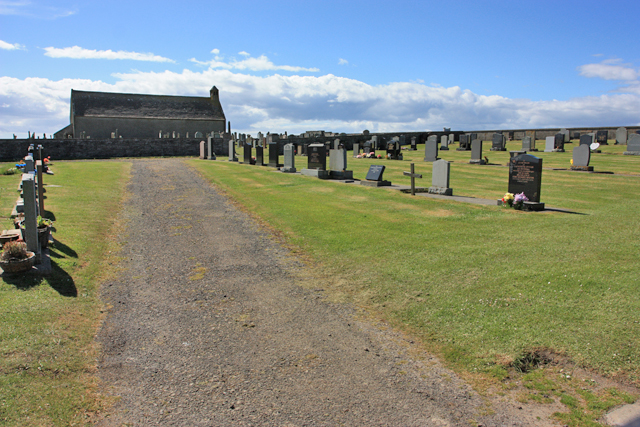
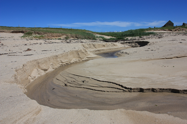
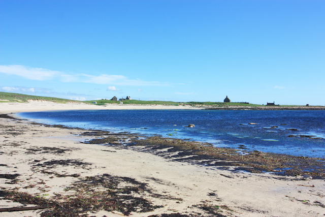
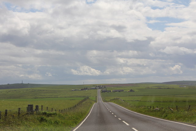
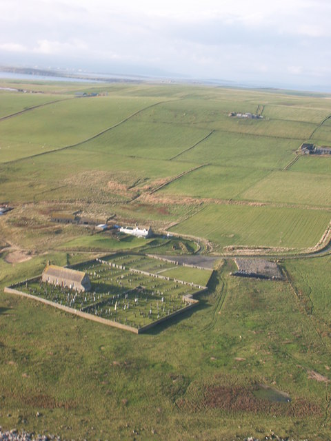
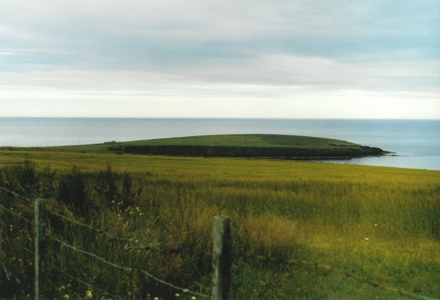
Eastside Images
Images are sourced within 2km of 58.809551/-2.9303769 or Grid Reference ND4691. Thanks to Geograph Open Source API. All images are credited.

Eastside is located at Grid Ref: ND4691 (Lat: 58.809551, Lng: -2.9303769)
Unitary Authority: Orkney Islands
Police Authority: Highlands and Islands
What 3 Words
///pursuing.lemons.unearthly. Near St Margaret's Hope, Orkney Islands
Nearby Locations
Related Wikis

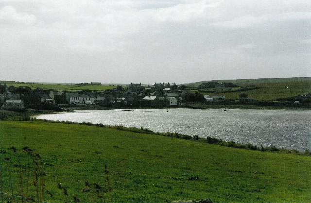
St Margaret's Hope
St Margaret's Hope is a village in the Orkney Islands, off the north coast of Scotland. It is known locally as The Hope or The Hup. With a population...
South Ronaldsay
South Ronaldsay (, also , Scots: Sooth Ronalshee) is one of the Orkney Islands off the north coast of Scotland. It is linked to the Orkney Mainland by...

Grim Ness
Grimness is a cliff-girt headland on the island of South Ronaldsay, in the Orkney archipelago of Scotland. It is located between Honeysgeo and Skipi Geo...

Herston, Orkney
Herston is a village on South Ronaldsay, Orkney, Scotland, United Kingdom. Herston is historically a fishing village but its only industry to speak of...

HMS Opal (1915)
HMS Opal was an Admiralty M-class destroyer of the Royal Navy. She served in the First World War following her construction at Sunderland in 1915. Attached...

Hoxa, Orkney
Hoxa is a small settlement on the island of South Ronaldsay in the Orkney Islands north of mainland Scotland. Hoxa is located 1+1⁄4 miles (2.0 km) west...
Burray
Burray () is one of the Orkney Islands in Scotland. It lies to the east of Scapa Flow and is one of a chain of islands linked by the Churchill Barriers...

Hunda
Hunda is an uninhabited island in the Orkney archipelago in Scotland. It is 100 hectares (0.39 sq mi) in extent and rises to 42 metres (138 ft) above sea...
Nearby Amenities
Located within 500m of 58.809551,-2.9303769Have you been to Eastside?
Leave your review of Eastside below (or comments, questions and feedback).