Easton Piercy
Settlement in Wiltshire
England
Easton Piercy
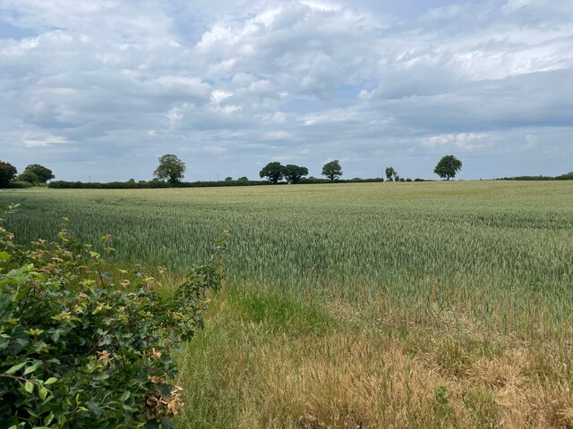
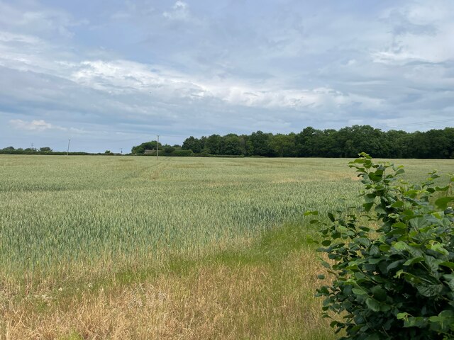
Easton Piercy is a small village located in the county of Wiltshire, England. Situated approximately 5 miles north-west of the town of Chippenham, it is nestled in the picturesque countryside of the Cotswolds Area of Outstanding Natural Beauty.
The village is rich in history, with evidence of human settlement dating back to the Roman era. The name "Piercy" derives from the Old English word meaning "pear tree," suggesting the presence of these fruit-bearing trees in the area historically.
Easton Piercy is characterized by its quaint and idyllic charm, boasting several well-preserved period buildings. The centerpiece of the village is the St. Mary's Church, a Grade II listed building that dates back to the 12th century. The church features a stunning Norman doorway and a beautiful stained glass window.
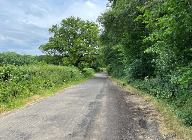
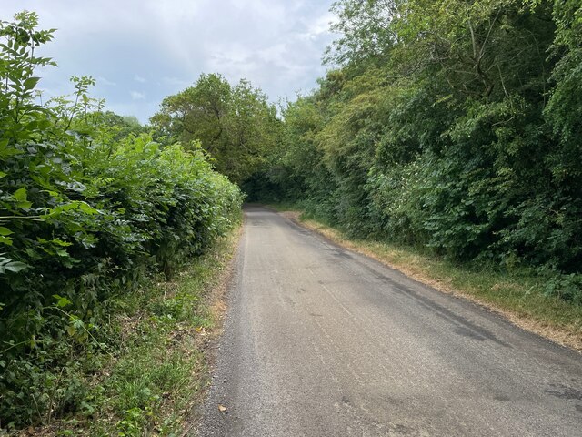
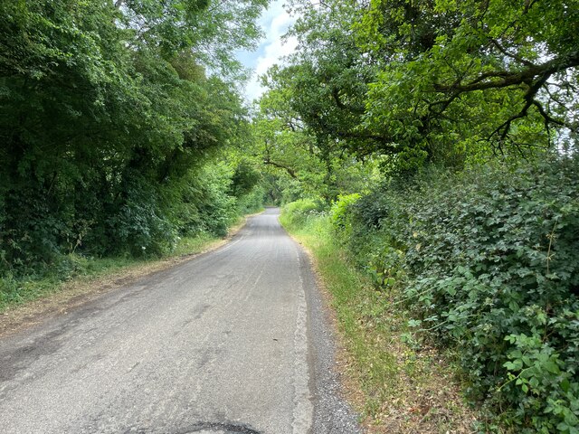
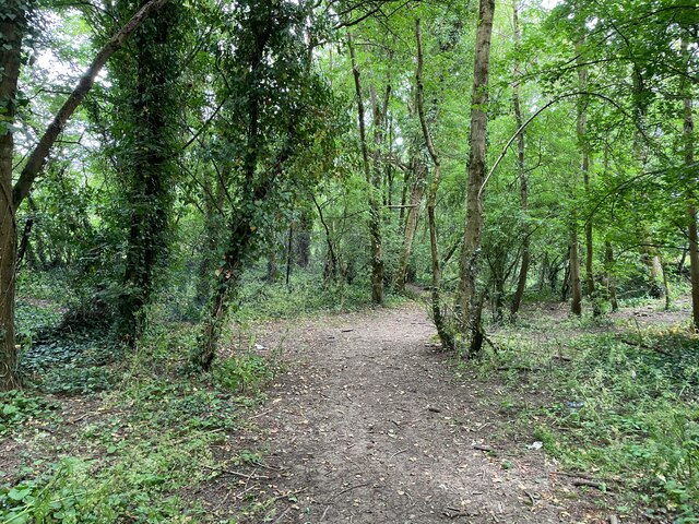
The surrounding countryside offers ample opportunities for outdoor enthusiasts, with scenic walking and cycling trails that wind through rolling hills and meandering streams. The nearby Cotswold Water Park provides opportunities for water-based activities, including sailing, fishing, and birdwatching. The village is also within close proximity to the historic sites of Avebury and Stonehenge, both UNESCO World Heritage Sites.
Despite its small size, Easton Piercy benefits from its close proximity to larger towns and cities. Chippenham offers a range of amenities, including shops, supermarkets, and leisure facilities. The village is well-connected by road, with the M4 motorway just a short drive away, providing easy access to Bristol, Bath, and Swindon.
In summary, Easton Piercy is a charming village in Wiltshire, offering a tranquil setting amidst beautiful countryside and a rich historical heritage.
If you have any feedback on the listing, please let us know in the comments section below.
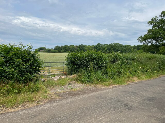
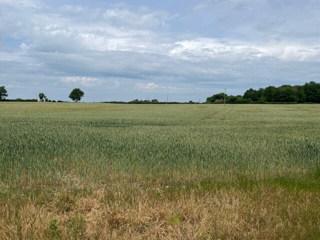
Easton Piercy Images
Images are sourced within 2km of 51.497538/-2.1654405 or Grid Reference ST8877. Thanks to Geograph Open Source API. All images are credited.


Easton Piercy is located at Grid Ref: ST8877 (Lat: 51.497538, Lng: -2.1654405)
Unitary Authority: Wiltshire
Police Authority: Wiltshire
What 3 Words
///satin.device.youths. Near Biddestone, Wiltshire
Nearby Locations
Related Wikis

Kington St. Michael Priory
St Mary's Priory was a Benedictine priory of nuns at Kington St Michael in Wiltshire, England. Founded before 1155, the priory was dissolved in 1536. Parts...

Broomfield, Wiltshire
Broomfield is a hamlet in Wiltshire, England. It is in Yatton Keynell parish, north of Yatton Keynell village and about 4 miles (6 km) northwest of the...

Kington St Michael
Kington St Michael is a village and civil parish about 3 miles (4.8 km) north of Chippenham in Wiltshire, England. == Location == Kington St Michael is...

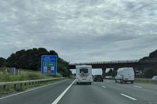
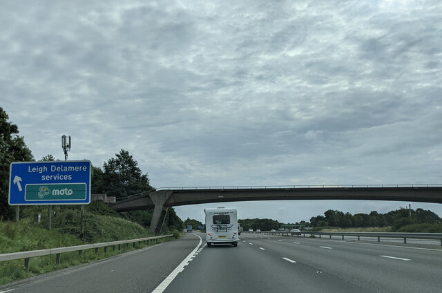
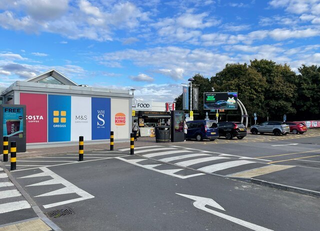
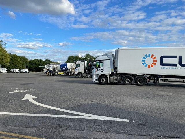
Leigh Delamere services
Leigh Delamere services is a motorway service area on the M4 motorway, one mile west of Junction 17, between Bristol and Swindon (close to Chippenham and...
Nearby Amenities
Located within 500m of 51.497538,-2.1654405Have you been to Easton Piercy?
Leave your review of Easton Piercy below (or comments, questions and feedback).