Westrop
Settlement in Wiltshire
England
Westrop
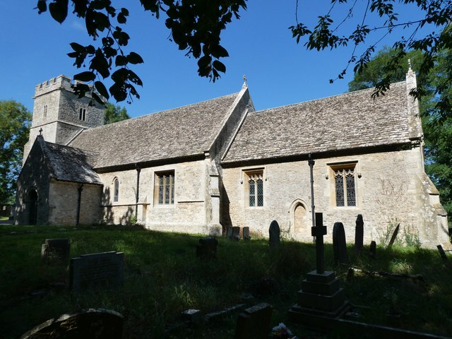
Westrop is a small village located in the county of Wiltshire, England. Situated in the North Wessex Downs, an Area of Outstanding Natural Beauty, the village offers picturesque views and a tranquil atmosphere. Its geographical coordinates are approximately 51.548°N latitude and 1.781°W longitude.
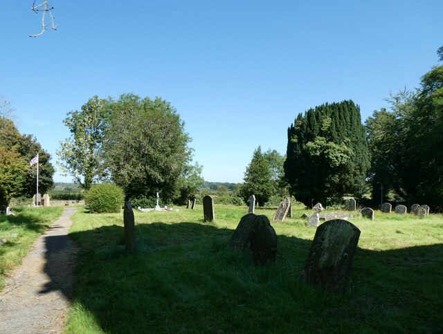
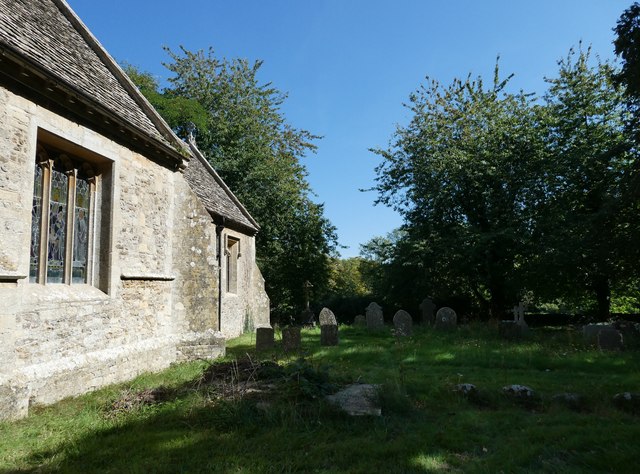
With a population of just over 100 residents, Westrop is known for its tight-knit community and friendly atmosphere. The village consists of a mix of traditional stone cottages and more modern houses, giving it a charming and quintessentially English feel. The surrounding countryside is characterized by rolling hills, green fields, and meandering streams, offering ample opportunities for outdoor activities such as hiking and cycling.
Despite its small size, Westrop has a few amenities to cater to the needs of its residents. There is a local pub, The Red Lion, which serves as a social hub for the village. Additionally, a small village hall hosts various community events and gatherings throughout the year. However, for more extensive services and amenities, residents typically travel to the nearby towns of Swindon or Marlborough.
Westrop's location within the North Wessex Downs makes it an ideal base for exploring the stunning countryside and nearby attractions. The village is within close proximity to the Avebury Stone Circle, a UNESCO World Heritage Site, as well as the ancient Ridgeway Path. The town of Marlborough, famous for its historic high street and annual jazz festival, is just a short drive away.
In summary, Westrop is a charming and tranquil village nestled in the beautiful Wiltshire countryside. Its small population, idyllic setting, and community spirit make it an appealing place for those seeking a peaceful and picturesque lifestyle.
If you have any feedback on the listing, please let us know in the comments section below.
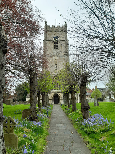
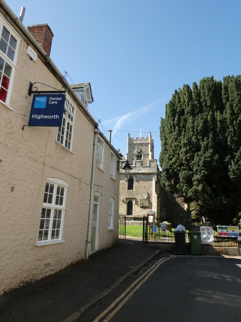
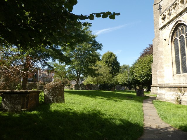
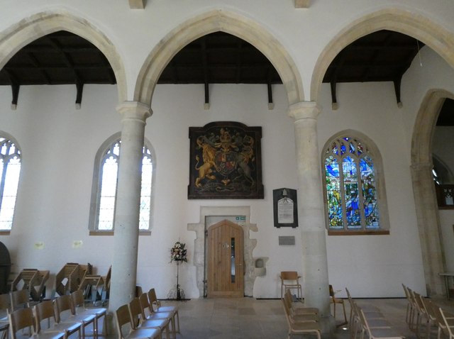
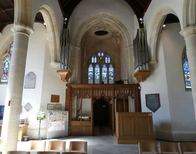
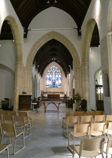
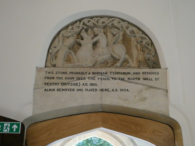
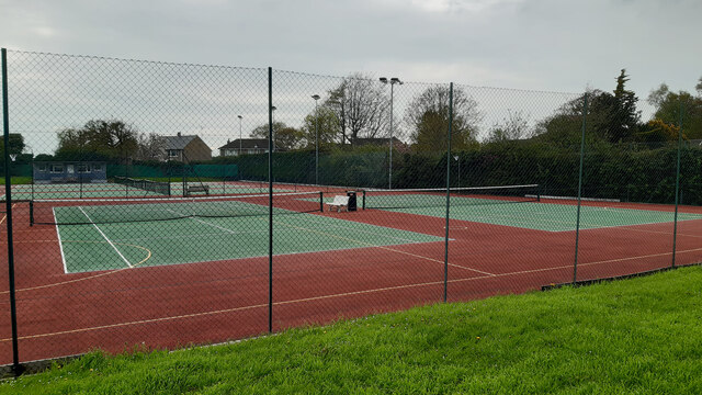
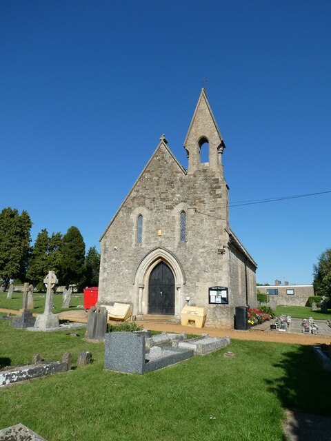
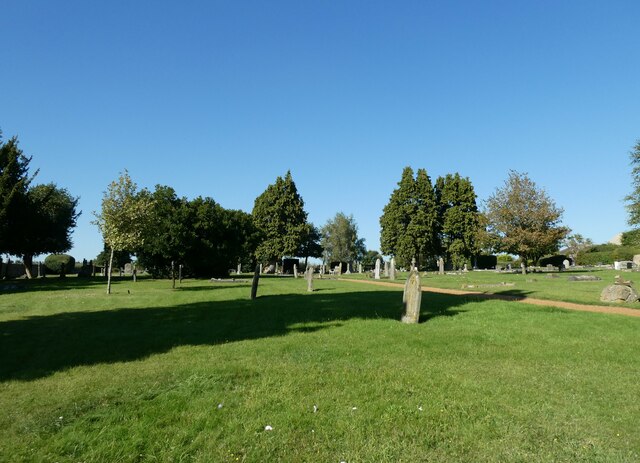
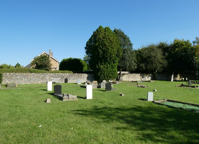
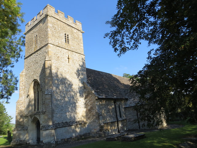
Westrop Images
Images are sourced within 2km of 51.632863/-1.7109299 or Grid Reference SU2092. Thanks to Geograph Open Source API. All images are credited.
Westrop is located at Grid Ref: SU2092 (Lat: 51.632863, Lng: -1.7109299)
Unitary Authority: Swindon
Police Authority: Wiltshire
What 3 Words
///jaundice.examine.registry. Near Highworth, Wiltshire
Related Wikis

Highworth
Highworth is a market town and civil parish in the Borough of Swindon, England, about 6 miles (10 km) north-east of Swindon town centre. The 2021 Census...

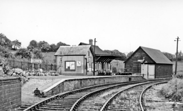
Highworth railway station
Highworth railway station served the town of Highworth, Wiltshire, England, from 1883 to 1962 on the Highworth branch line. The station was opened on 9...

Highworth Town F.C.
Highworth Town Football Club is a football club based in Highworth, Wiltshire, England. They are currently members of the Hellenic League Premier Division...
Highworth Warneford School
Highworth Warneford School is a coeducational secondary school in the small town of Highworth, north of Swindon, Wiltshire, England. == History == Warneford...
Highworth Rural District
Highworth Rural District was a rural district in the county of Wiltshire, England. It lay to the north and east of the town and municipal borough of Swindon...

Hannington railway station
Hannington railway station is a former railway station near Hannington, in Wiltshire, England on the Highworth Branch Line from Swindon. The station was...

Hannington Hall
Hannington Hall is a Grade II* listed country house in the village of Hannington, Wiltshire, England. The house was built in 1653 by the Freke family,...

Warneford Place
Warneford Place, also known as Sevenhampton Place, is a Grade II listed country house in Sevenhampton, south of Highworth, in Wiltshire, England. The main...
Nearby Amenities
Located within 500m of 51.632863,-1.7109299Have you been to Westrop?
Leave your review of Westrop below (or comments, questions and feedback).