Westwood

Settlement in Staffordshire Staffordshire Moorlands

England

Westwood

Funfair in Leek A funfair on Westwood Recreation Ground in Leek.
Funfair in Leek Credit: David Weston

Westwood is a small village located in the county of Staffordshire, England. Situated approximately 2 miles to the west of Leek, it is nestled in the picturesque Staffordshire Moorlands. The village is surrounded by scenic countryside, offering stunning views of the nearby Peak District National Park.

With a population of around 1,500 residents, Westwood maintains a close-knit community atmosphere. The village is mainly residential, consisting of a mix of traditional stone cottages and more modern houses. The architecture in Westwood reflects its rich history, with some buildings dating back to the 18th century.

The heart of the village is centered around a small square, where a number of local amenities can be found. These include a convenience store, a post office, a primary school, and a village hall. The village also boasts a traditional pub, providing a hub for socializing and dining.

Westwood is well-connected to neighboring towns and cities. The nearby market town of Leek offers additional shopping and leisure facilities, while the city of Stoke-on-Trent is just a short drive away. The village is also well-served by public transportation, with regular bus services connecting it to the surrounding areas.

For outdoor enthusiasts, Westwood offers plenty of opportunities for exploration and recreation. The village is surrounded by rolling hills, offering numerous scenic walking and cycling routes. The nearby Peak District National Park provides further possibilities for outdoor adventures, including hiking, rock climbing, and horse riding.

In summary, Westwood is a charming village in Staffordshire, offering a peaceful and picturesque setting, a close-knit community, and easy access to both rural and urban amenities.

If you have any feedback on the listing, please let us know in the comments section below.
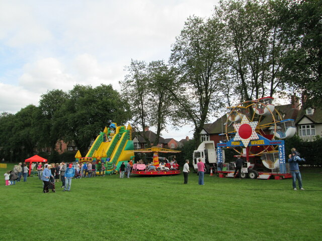
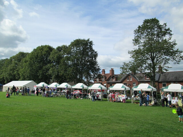
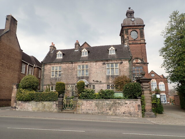
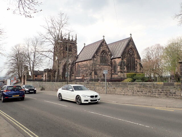
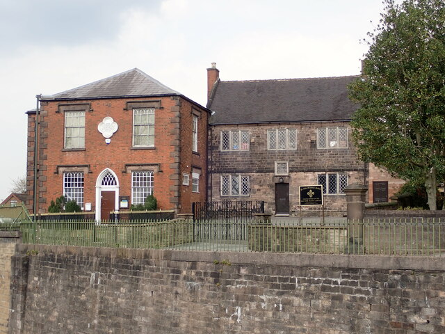
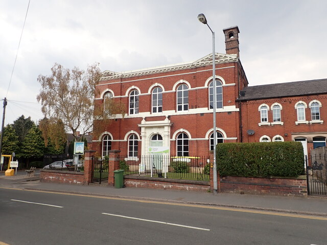
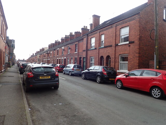
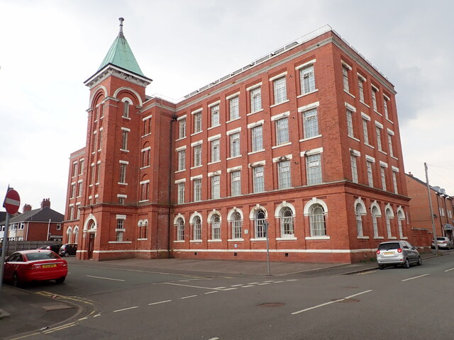
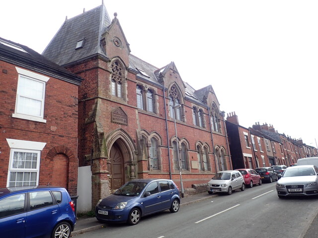
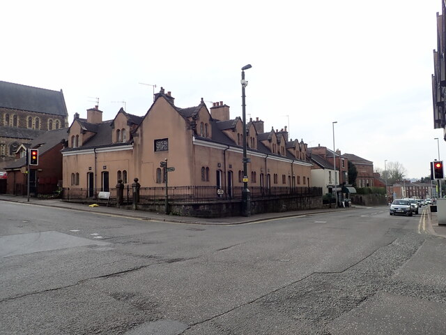
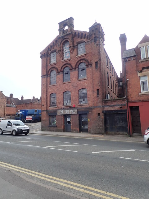
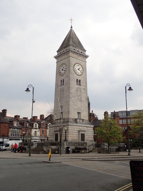
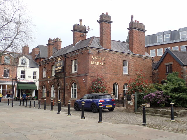
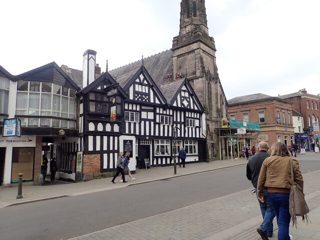
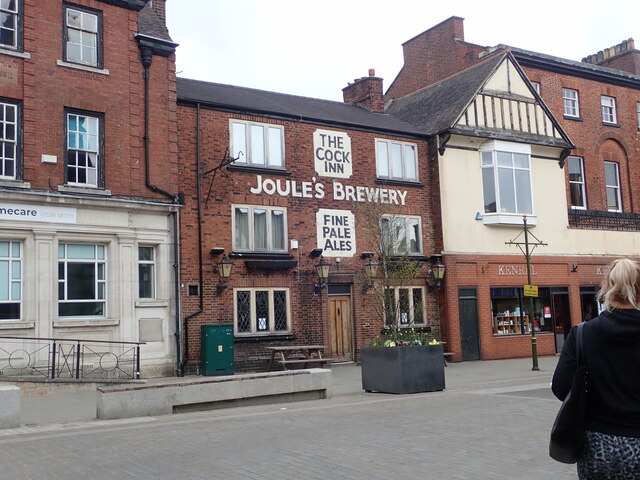
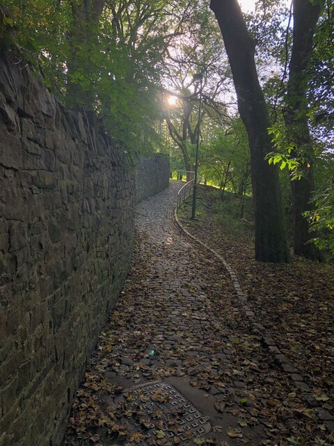
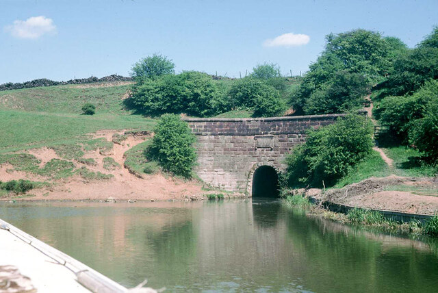
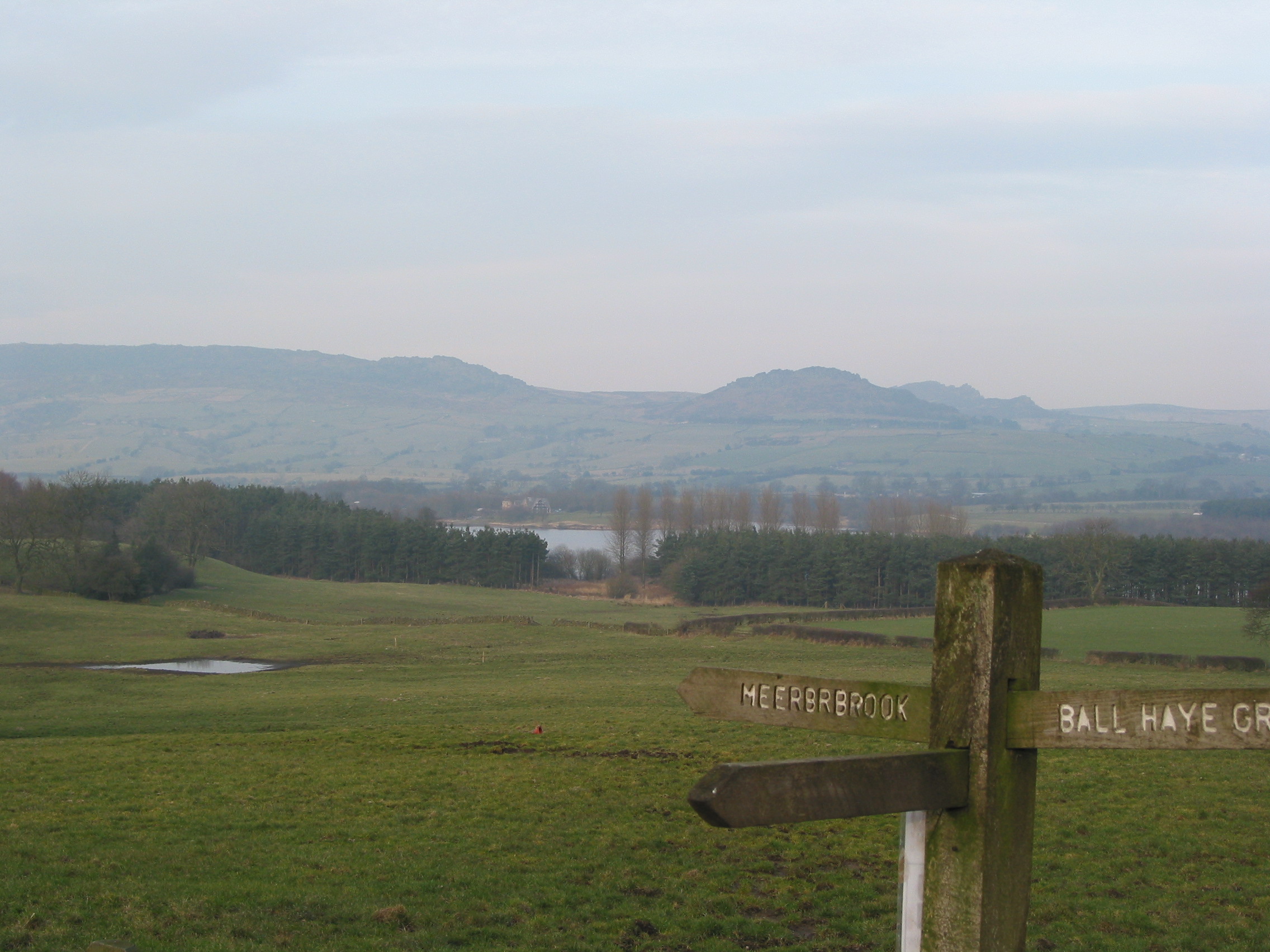
Westwood Images

Images are sourced within 2km of 53.101882/-2.04502 or Grid Reference SJ9756. Thanks to Geograph Open Source API. All images are credited.

Funfair in Leek A funfair on Westwood Recreation Ground in Leek.
Funfair in Leek
A funfair on Westwood Recreation Ground in Leek.
Funfair in Leek Stalls at the fair on Westwood Recreation Ground in Leek.
Funfair in Leek
Stalls at the fair on Westwood Recreation Ground in Leek.
Greystones House This attractive 17th century house in Leek is a grade II* listed building. The tower behind belongs to the Nicholson Institute, now Leek Public Library. The Institute was built in 1882
Greystones House
This attractive 17th century house in Leek is a grade II* listed building. The tower behind belongs to the Nicholson Institute, now Leek Public Library. The Institute was built in 1882
Parish Church of St Edward the Confessor The Parish Church is Leek's only medieval church, dedicated to Edward, King of England between 1042-1066. <span class="nowrap"><a title="https://www.search.staffspasttrack.org.uk/Details.aspx?&ResourceID=5362" rel="nofollow ugc noopener" href="https://www.search.staffspasttrack.org.uk/Details.aspx?&ResourceID=5362">Link</a><img style="margin-left:2px;" alt="External link" title="External link - shift click to open in new window" src="https://s1.geograph.org.uk/img/external.png" width="10" height="10"/></span>
Parish Church of St Edward the Confessor
The Parish Church is Leek's only medieval church, dedicated to Edward, King of England between 1042-1066. LinkExternal link
The Old Grammar School, Leek Former school, dated 1723. Over the door an inscription reads "This building erected by the Earl of Macclesfield, Lord High Chancellor of Great Britain, Anno Domini, 1723". Now used by the 2nd Leek Scout Group.
The Old Grammar School, Leek
Former school, dated 1723. Over the door an inscription reads "This building erected by the Earl of Macclesfield, Lord High Chancellor of Great Britain, Anno Domini, 1723". Now used by the 2nd Leek Scout Group.
Gateway Church, West Street
Looking down Picton Street
Former Silk Mill on Waterloo Street Grade II listed building, now converted into flats.
Former Silk Mill on Waterloo Street
Grade II listed building, now converted into flats.
Hargreaves School building, Alsop Street Former school, built in 1873. The school was built for Leek Congregational Church and named after a former minister. It is listed grade II and now in use commercially.
Hargreaves School building, Alsop Street
Former school, built in 1873. The school was built for Leek Congregational Church and named after a former minister. It is listed grade II and now in use commercially.
Ash Almshouses, Leek Grade II listed almshouses on Broad Street. On the gable end is an inscription - "The gift of Elizabeth Ash, the eldest daughter of William Jolliffe". 
"An almshouse, for eight poor widows, was endowed in the year 1696, by Elizabeth Ash, widow, of this town.  Each widow is allowed two shillings per week, fuel, and a new gown once in two years." (from "A Topographical History of Staffordshire" by William Pitt)
Ash Almshouses, Leek
Grade II listed almshouses on Broad Street. On the gable end is an inscription - "The gift of Elizabeth Ash, the eldest daughter of William Jolliffe". "An almshouse, for eight poor widows, was endowed in the year 1696, by Elizabeth Ash, widow, of this town. Each widow is allowed two shillings per week, fuel, and a new gown once in two years." (from "A Topographical History of Staffordshire" by William Pitt)
The Old Mill, Haywood Street Grade II listed former Silk Mill, now converted to a restaurant and public house. It was built about 1876.
The Old Mill, Haywood Street
Grade II listed former Silk Mill, now converted to a restaurant and public house. It was built about 1876.
Clock tower War Memorial The war memorial was the gift to the town of Sir Arthur Nicholson (a local silk manufacturer), and his wife, in memory of their son, Lieutenant Basil Lee Nicholson and other local men killed in WWI. Made of Portland stone, it is grade II listed.
Clock tower War Memorial
The war memorial was the gift to the town of Sir Arthur Nicholson (a local silk manufacturer), and his wife, in memory of their son, Lieutenant Basil Lee Nicholson and other local men killed in WWI. Made of Portland stone, it is grade II listed.
The Cattle Market Public house on Fountain Street, Leek
The Cattle Market
Public house on Fountain Street, Leek
The Roebuck Inn Originally a timber-framed house but in long use as an inn. It is dated 1626 and grade II listed
The Roebuck Inn
Originally a timber-framed house but in long use as an inn. It is dated 1626 and grade II listed
The Cock Inn, Derby Street A pub has been on this site for over 300 years.
The Cock Inn, Derby Street
A pub has been on this site for over 300 years.
Cobbled footpath skirting edge of Brough Park
Leek Tunnel, Caldon Canal, Leek Branch, 1978 The west end of the narrow but high tunnel, 120 m long. We went through to the then limit of navigation, where a dredger and barge and what they were removing were blocking further progress - see <a href="https://www.geograph.org.uk/photo/1616909">SJ9754 : Last bridge on the Leek Branch, 1978</a> - and had to reverse back, including through the tunnel, because there was nowhere to wind. There is a big pool at this end of the tunnel, fortunately.
Leek Tunnel, Caldon Canal, Leek Branch, 1978
The west end of the narrow but high tunnel, 120 m long. We went through to the then limit of navigation, where a dredger and barge and what they were removing were blocking further progress - see SJ9754 : Last bridge on the Leek Branch, 1978 - and had to reverse back, including through the tunnel, because there was nowhere to wind. There is a big pool at this end of the tunnel, fortunately.
North of last bridge, Caldon Canal, Leek Branch, 1978 Looking from the bridge. There was a dredger and spoil barges just south of the bridge, presumably working north, but unattended at the time (Sunday). The winding hole on the left, when cleared out, was the last place full length boats could wind.
North of last bridge, Caldon Canal, Leek Branch, 1978
Looking from the bridge. There was a dredger and spoil barges just south of the bridge, presumably working north, but unattended at the time (Sunday). The winding hole on the left, when cleared out, was the last place full length boats could wind.
Show me another place!

Westwood is located at Grid Ref: SJ9756 (Lat: 53.101882, Lng: -2.04502)

Administrative County: Staffordshire

District: Staffordshire Moorlands

Police Authority: Staffordshire

What 3 Words

///coverage.regrowth.differ. Near Leek, Staffordshire

Nearby Locations

Westwood Bridge End

Related Wikis

Westwood Hall

Westwood Hall is a former stately home in Leek, Staffordshire, England. It is a Grade II listed building. It has been a school since 1921, and is now Westwood...

Westwood College, Leek

Westwood College, formerly known as Westwood High School is a mixed upper school located in Leek, Staffordshire, England. Westwood is set in the grounds...

Leek railway station

Leek railway station served the town of Leek, Staffordshire. It was opened by the North Staffordshire Railway in 1849. Passenger services to Uttoxeter...

Leek Town F.C.

Leek Town Football Club is an English football club based in Leek, Staffordshire, playing in the Northern Premier League Division One West, the eighth...

Brindley Water Mill

The Brindley Water Mill is a water mill in the town of Leek, Staffordshire, England, built in 1752 by James Brindley. It was restored to working order...

Leek (Churnet Valley) railway station

Leek (Churnet Valley) railway station is the proposed and future terminus of the Churnet Valley Railway and is currently awaiting construction. It will...

Staffordshire Moorlands

Staffordshire Moorlands is a local government district in Staffordshire, England. Its council, Staffordshire Moorlands District Council, is based in Leek...

Highfield, Leek

Highfield is a cricket ground in Leek, Staffordshire. The ground is located just outside of the town along the Macclesfield Road, which itself forms part...

Nearby Amenities

Located within 500m of 53.101882,-2.04502
Traffic Calming: hump
Lat/Long: 53.1028515/-2.0393135
Barrier: bollard
Lat/Long: 53.0996536/-2.0396164
Chantelle
Shop: hairdresser
Lat/Long: 53.0995398/-2.0395686
Fast Food
Rice 'N' Spice
Addr Postcode: ST13 8JF
Addr Street: Wallbridge Drive
Cuisine: indian
Fhrs Id: 1259814
Source Addr: FHRS Open Data
Lat/Long: 53.0995047/-2.0395978
Kindergarten
Wallbridge Playgroup
Lat/Long: 53.0995941/-2.0398461
Wallbridge Post & Times
Shop: convenience
Lat/Long: 53.0996335/-2.039816
Post Box
Ref: ST13 650
Lat/Long: 53.1008264/-2.0460665
Turning Circle
Lat/Long: 53.1045457/-2.0478699
Turning Circle
Lat/Long: 53.105202/-2.0473514
Turning Circle
Lat/Long: 53.1047263/-2.0464011
Crossing
Crossing: uncontrolled
Crossing Island: no
Crossing Ref: zebra
Lat/Long: 53.1045142/-2.0395607
Bus Stop
Westwood, Westwood Park Avenue / Overdale Place
Bus: yes
Naptan AtcoCode: 3800C810300
Naptan Bearing: NE
Naptan CommonName: Overdale Place
Naptan Indicator: opp
Naptan Landmark: Overdale Place
Naptan LocalityName: Westwood
Naptan NaptanCode: stagjpma
Naptan ShortCommonName: Overdale Pl
Naptan Street: Westwood Park Avenue
Naptan Verified: no
Public Transport: platform
Source: naptan_import
Lat/Long: 53.1054062/-2.0480231
Bus Stop
Westwood, Westwood Park Avenue / Overdale Place
Bus: yes
Naptan AtcoCode: 3800C810301
Naptan Bearing: SW
Naptan CommonName: Overdale Place
Naptan Indicator: adj
Naptan Landmark: Overdale Place
Naptan LocalityName: Westwood
Naptan NaptanCode: stagjpmd
Naptan ShortCommonName: Overdale Pl
Naptan Street: Westwood Park Avenue
Naptan Verified: no
Public Transport: platform
Source: naptan_import
Lat/Long: 53.1053777/-2.0478168
Bus Stop
Bowling Green
Bench: no
Bus: yes
Naptan AtcoCode: 3800C818001
Naptan Bearing: SW
Naptan BusStopType: CUS
Naptan CommonName: Bowling Green
Naptan Indicator: Opp
Naptan Landmark: Bowling Green
Naptan Street: Beggars Lane
Naptan Verified: no
Public Transport: platform
Shelter: no
Source: naptan_import
Lat/Long: 53.1029474/-2.0387989
Bus Stop
Barnfields, Wallbridge Drive / Thornhill Road
Bus: yes
Naptan AtcoCode: 3800C819101
Naptan Bearing: SE
Naptan CommonName: Thornhill Road
Naptan Indicator: adj
Naptan Landmark: Thornhill Road
Naptan LocalityName: Barnfields
Naptan NaptanCode: stagjtjt
Naptan ShortCommonName: Thornhill Rd
Naptan Street: Wallbridge Drive
Naptan Verified: no
Public Transport: platform
Source: naptan_import
Lat/Long: 53.0995575/-2.038951
Bus Stop
Barnfields, Wallbridge Drive / Thornhill Road
Bench: yes
Bus: yes
Naptan AtcoCode: 3800C819102
Naptan Bearing: NW
Naptan CommonName: Thornhill Road
Naptan Indicator: opp
Naptan Landmark: Thornhill Road
Naptan LocalityName: Barnfields
Naptan NaptanCode: stagjtjw
Naptan ShortCommonName: Thornhill Rd
Naptan Street: Wallbridge Drive
Naptan Verified: no
Public Transport: platform
Shelter: yes
Source: naptan_import
Lat/Long: 53.099728/-2.0398024
Bus Stop
Westwood, Wetenhall Drive / Nicholas Grove
Bus: yes
Naptan AtcoCode: 3800C819201
Naptan Bearing: NW
Naptan CommonName: Nicholas Grove
Naptan Indicator: opp
Naptan Landmark: Nicholas Grove
Naptan LocalityName: Westwood
Naptan NaptanCode: stagjtma
Naptan ShortCommonName: Nicholas Grove
Naptan Street: Wetenhall Drive
Naptan Verified: no
Public Transport: platform
Source: naptan_import
Lat/Long: 53.1008938/-2.0475103
Bus Stop
Westwood, Wetenhall Drive / Nicholas Grove
Bus: yes
Naptan AtcoCode: 3800C819202
Naptan Bearing: SE
Naptan CommonName: Nicholas Grove
Naptan Indicator: adj
Naptan Landmark: Davenport Close
Naptan LocalityName: Westwood
Naptan NaptanCode: stagjtmd
Naptan ShortCommonName: Nicholas Grove
Naptan Street: Wetenhall Drive
Naptan Verified: no
Public Transport: platform
Source: naptan_import
Lat/Long: 53.1006063/-2.0470769
Bus Stop
Westwood, Westwood Heath Road / Oakwood Road
Bus: yes
Naptan AtcoCode: 3800C819401
Naptan Bearing: S
Naptan BusStopType: CUS
Naptan CommonName: Oakwood Road
Naptan Indicator: opp
Naptan Landmark: Oakwood Road
Naptan LocalityName: Westwood
Naptan ShortCommonName: Oakwood Rd
Naptan Street: Westwood Heath Road
Naptan Verified: no
Public Transport: platform
Source: naptan_import
Lat/Long: 53.106136/-2.043722
Bus Stop
Westwood, Wallbridge Drive / School Close
Bus: yes
Naptan AtcoCode: 3800C820501
Naptan Bearing: SE
Naptan CommonName: School Close
Naptan Indicator: adj
Naptan Landmark: School Close
Naptan LocalityName: Westwood
Naptan NaptanCode: stagjtwd
Naptan ShortCommonName: School Cl
Naptan Street: Wallbridge Drive
Naptan Verified: no
Public Transport: platform
Source: naptan_import
Lat/Long: 53.1006795/-2.0435969
Bus Stop
Westwood, Wallbridge Drive / School Close
Bus: yes
Naptan AtcoCode: 3800C820502
Naptan Bearing: NW
Naptan BusStopType: CUS
Naptan CommonName: School Close
Naptan Indicator: opp
Naptan Landmark: School Close
Naptan LocalityName: Westwood
Naptan ShortCommonName: School Cl
Naptan Street: Wallbridge Drive
Naptan Verified: no
Public Transport: platform
Source: naptan_import
Lat/Long: 53.1007064/-2.0437911
Bus Stop
Westwood Road / Westwood First School
Bus: yes
Naptan AtcoCode: 3800C821901
Naptan Bearing: E
Naptan BusStopType: CUS
Naptan CommonName: Westwood First School
Naptan Indicator: adj
Naptan Landmark: Westwood First School
Naptan LocalityName: Westwood
Naptan ShortCommonName: Westwood School
Naptan Street: Westwood Road
Naptan Verified: no
Public Transport: platform
Source: naptan_import
Lat/Long: 53.1042909/-2.0411012
Bus Stop
Westwood Road / Westwood First School
Bus: yes
Naptan AtcoCode: 3800C821902
Naptan Bearing: W
Naptan BusStopType: CUS
Naptan CommonName: Westwood First School
Naptan Indicator: opp
Naptan Landmark: Westwood First School
Naptan LocalityName: Westwood
Naptan ShortCommonName: Westwood School
Naptan Street: Westwood Road
Naptan Verified: no
Public Transport: platform
Source: naptan_import
Lat/Long: 53.1043558/-2.0401832
Telephone
Booth: K6
Check Date: 2021-05-14
Covered: booth
Phone: +44 1538 383791
Lat/Long: 53.0996062/-2.0395296
Post Box
Check Date: 2021-05-14
Post Box Type: pillar
Ref: ST13 761
Royal Cypher: EIIR
Royal Cypher Wikidata: Q33102113
Lat/Long: 53.0995935/-2.0395394
Traffic Calming: cushion
Lat/Long: 53.1040567/-2.048146
Bus Stop
Westwood College
Bus: yes
Public Transport: platform
Lat/Long: 53.1027384/-2.0501812
Addr Housenumber: 41
Addr Street: Beggars Lane
Lat/Long: 53.1019586/-2.0396889
Waste Basket
Lat/Long: 53.1010875/-2.0381175
Addr Housenumber: 37
Addr Street: Beggars Lane
Lat/Long: 53.102202/-2.0395431
Addr Housenumber: 43
Addr Street: Beggars Lane
Lat/Long: 53.1018784/-2.0397084
Addr Housenumber: 35
Addr Street: Beggars Lane
Lat/Long: 53.1022904/-2.0394614
Addr Housenumber: 31
Addr Street: Beggars Lane
Lat/Long: 53.1024609/-2.0393064
Addr Housenumber: 33
Addr Street: Beggars Lane
Lat/Long: 53.1023453/-2.0394274
Addr Housenumber: 39
Addr Street: Beggars Lane
Lat/Long: 53.1021516/-2.0395777
Addr Housenumber: 27
Addr Street: Beggars Lane
Lat/Long: 53.102598/-2.0392158
Addr Housenumber: 29
Addr Street: Beggars Lane
Lat/Long: 53.1024988/-2.0392879
Addr Housenumber: 25
Addr Street: Beggars Lane
Lat/Long: 53.1026509/-2.039194
The data included in this document is from www.openstreetmap.org. The data is made available under ODbL.

Have you been to Westwood?

Leave your review of Westwood below (or comments, questions and feedback).