Bridge End

Settlement in Staffordshire Staffordshire Moorlands

England

Bridge End

Funfair in Leek A funfair on Westwood Recreation Ground in Leek.
Funfair in Leek Credit: David Weston

Bridge End is a small village located in the county of Staffordshire, England. Situated on the banks of the River Trent, it lies approximately 5 miles southeast of the town of Uttoxeter. With a population of around 500 residents, Bridge End presents a tranquil and close-knit community.

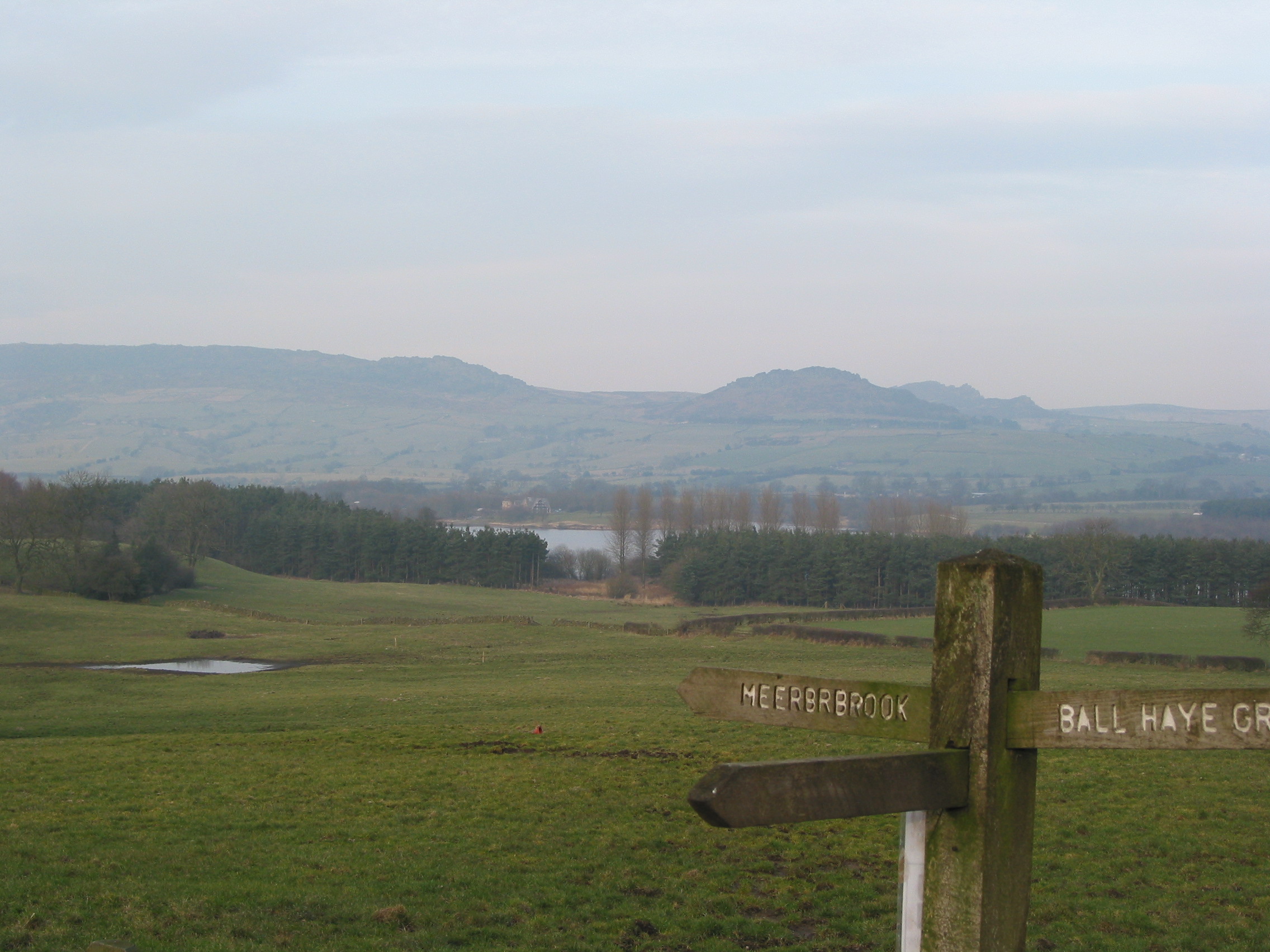
One of the defining features of Bridge End is its picturesque scenery. Surrounded by rolling green fields, the village boasts stunning views of the Staffordshire countryside. The River Trent, which runs through the heart of the village, adds to the charm, providing opportunities for fishing and boating.

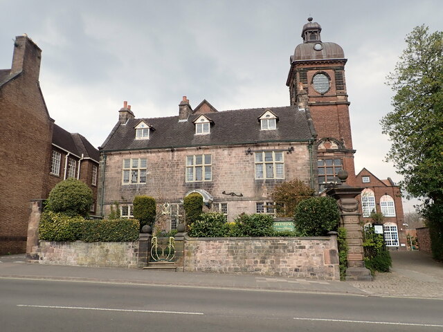
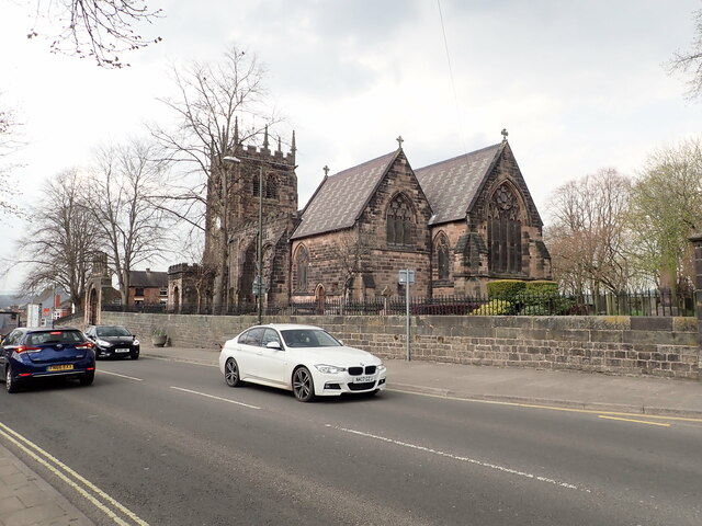
The village is primarily residential, with a mixture of traditional red-brick houses and newer developments. The architecture is a blend of historic and contemporary styles, reflecting the village's rich history and evolving character. The village also features a quaint church, which serves as a focal point for the local community.

Despite its small size, Bridge End offers a range of amenities to its residents. These include a local convenience store, a post office, and a primary school, providing essential services within walking distance. The village is well-connected to nearby towns and cities via a network of roads, making it an attractive location for commuters.

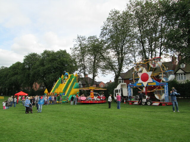
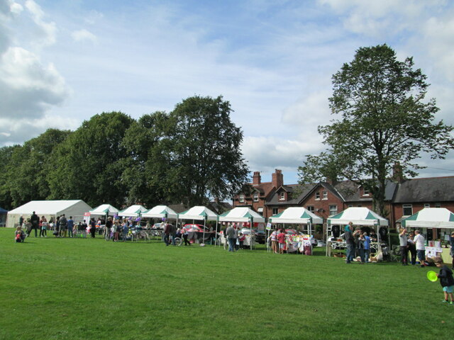
Bridge End is also known for its community spirit and vibrant social scene. The village organizes various events and activities throughout the year, including fairs, festivals, and sports tournaments. These events foster a sense of belonging and strengthen the bonds between residents.

In conclusion, Bridge End is a charming village in Staffordshire, offering a peaceful and picturesque setting, a range of amenities, and a strong sense of community.

If you have any feedback on the listing, please let us know in the comments section below.
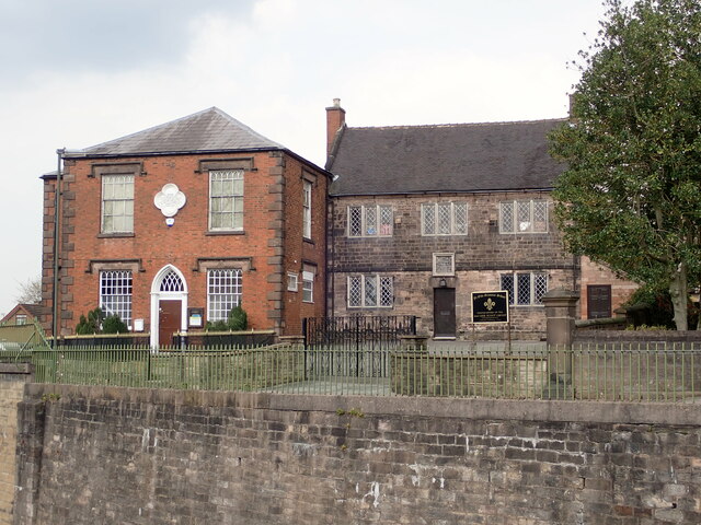
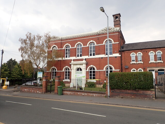
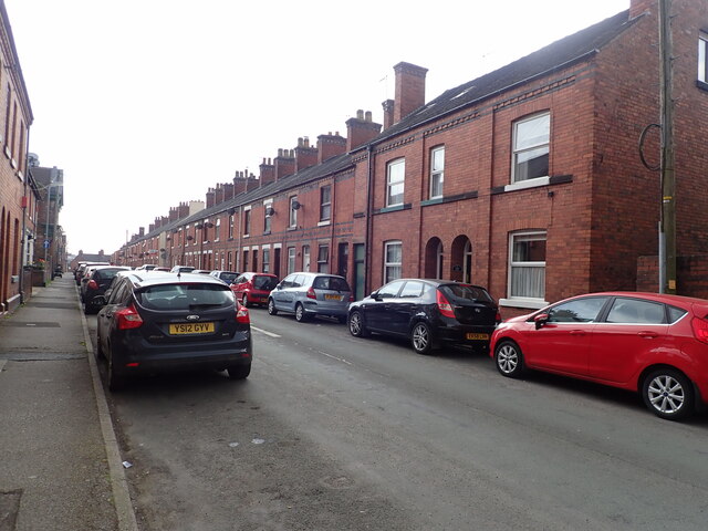
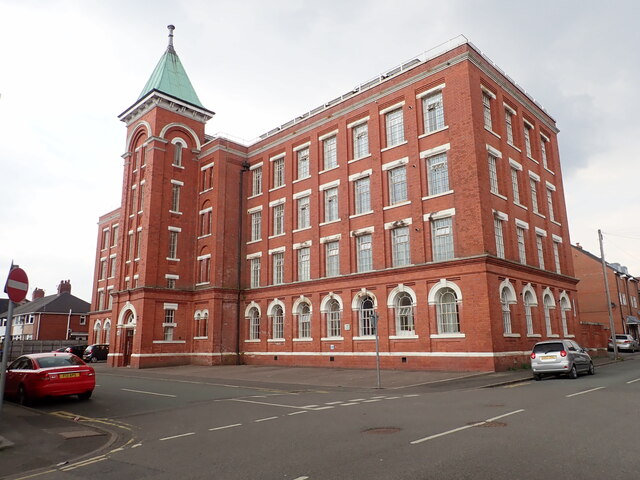
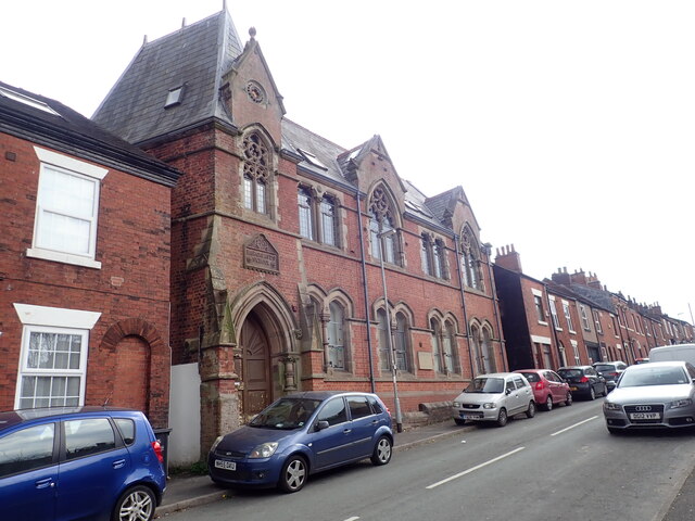
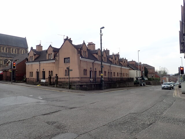
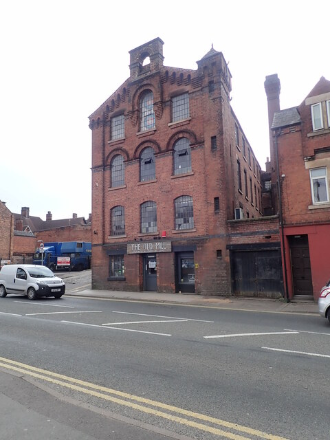
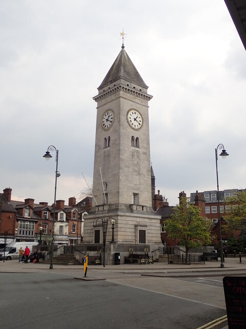
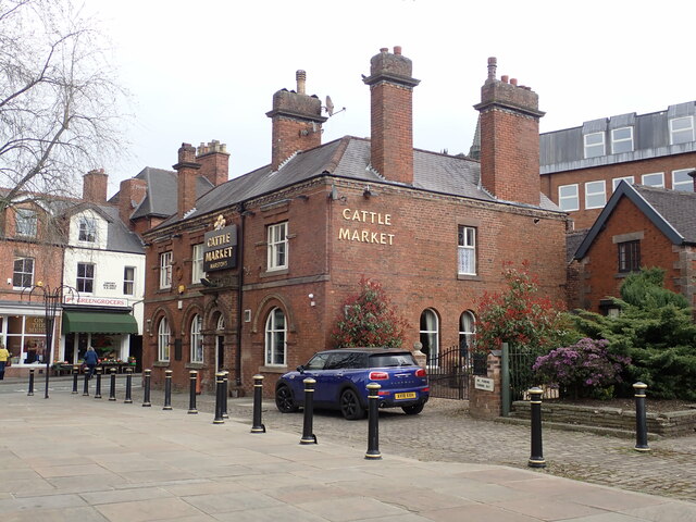
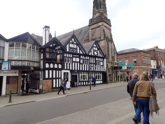
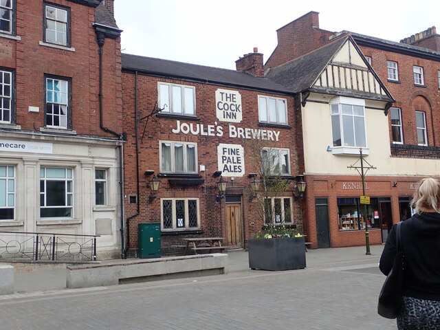
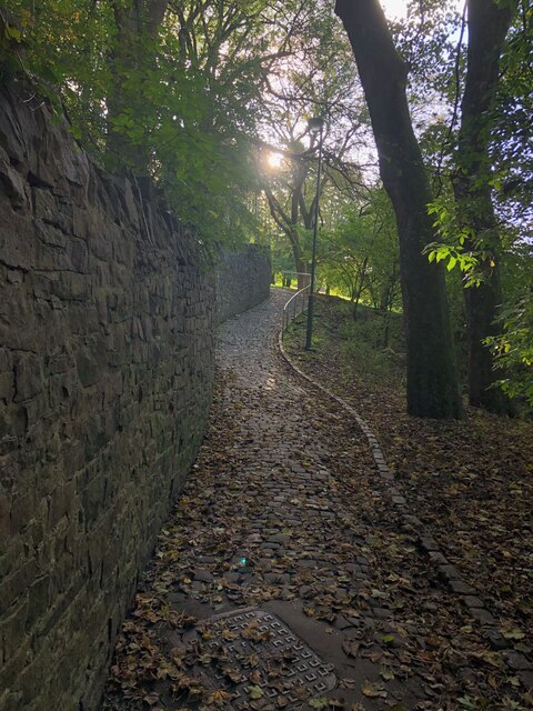
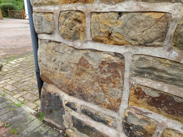
Bridge End Images

Images are sourced within 2km of 53.110127/-2.0387694 or Grid Reference SJ9756. Thanks to Geograph Open Source API. All images are credited.

Funfair in Leek A funfair on Westwood Recreation Ground in Leek.
Funfair in Leek
A funfair on Westwood Recreation Ground in Leek.
Funfair in Leek Stalls at the fair on Westwood Recreation Ground in Leek.
Funfair in Leek
Stalls at the fair on Westwood Recreation Ground in Leek.
Greystones House This attractive 17th century house in Leek is a grade II* listed building. The tower behind belongs to the Nicholson Institute, now Leek Public Library. The Institute was built in 1882
Greystones House
This attractive 17th century house in Leek is a grade II* listed building. The tower behind belongs to the Nicholson Institute, now Leek Public Library. The Institute was built in 1882
Parish Church of St Edward the Confessor The Parish Church is Leek's only medieval church, dedicated to Edward, King of England between 1042-1066. <span class="nowrap"><a title="https://www.search.staffspasttrack.org.uk/Details.aspx?&ResourceID=5362" rel="nofollow ugc noopener" href="https://www.search.staffspasttrack.org.uk/Details.aspx?&ResourceID=5362">Link</a><img style="margin-left:2px;" alt="External link" title="External link - shift click to open in new window" src="https://s1.geograph.org.uk/img/external.png" width="10" height="10"/></span>
Parish Church of St Edward the Confessor
The Parish Church is Leek's only medieval church, dedicated to Edward, King of England between 1042-1066. LinkExternal link
The Old Grammar School, Leek Former school, dated 1723. Over the door an inscription reads "This building erected by the Earl of Macclesfield, Lord High Chancellor of Great Britain, Anno Domini, 1723". Now used by the 2nd Leek Scout Group.
The Old Grammar School, Leek
Former school, dated 1723. Over the door an inscription reads "This building erected by the Earl of Macclesfield, Lord High Chancellor of Great Britain, Anno Domini, 1723". Now used by the 2nd Leek Scout Group.
Gateway Church, West Street
Looking down Picton Street
Former Silk Mill on Waterloo Street Grade II listed building, now converted into flats.
Former Silk Mill on Waterloo Street
Grade II listed building, now converted into flats.
Hargreaves School building, Alsop Street Former school, built in 1873. The school was built for Leek Congregational Church and named after a former minister. It is listed grade II and now in use commercially.
Hargreaves School building, Alsop Street
Former school, built in 1873. The school was built for Leek Congregational Church and named after a former minister. It is listed grade II and now in use commercially.
Ash Almshouses, Leek Grade II listed almshouses on Broad Street. On the gable end is an inscription - "The gift of Elizabeth Ash, the eldest daughter of William Jolliffe". 
"An almshouse, for eight poor widows, was endowed in the year 1696, by Elizabeth Ash, widow, of this town.  Each widow is allowed two shillings per week, fuel, and a new gown once in two years." (from "A Topographical History of Staffordshire" by William Pitt)
Ash Almshouses, Leek
Grade II listed almshouses on Broad Street. On the gable end is an inscription - "The gift of Elizabeth Ash, the eldest daughter of William Jolliffe". "An almshouse, for eight poor widows, was endowed in the year 1696, by Elizabeth Ash, widow, of this town. Each widow is allowed two shillings per week, fuel, and a new gown once in two years." (from "A Topographical History of Staffordshire" by William Pitt)
The Old Mill, Haywood Street Grade II listed former Silk Mill, now converted to a restaurant and public house. It was built about 1876.
The Old Mill, Haywood Street
Grade II listed former Silk Mill, now converted to a restaurant and public house. It was built about 1876.
Clock tower War Memorial The war memorial was the gift to the town of Sir Arthur Nicholson (a local silk manufacturer), and his wife, in memory of their son, Lieutenant Basil Lee Nicholson and other local men killed in WWI. Made of Portland stone, it is grade II listed.
Clock tower War Memorial
The war memorial was the gift to the town of Sir Arthur Nicholson (a local silk manufacturer), and his wife, in memory of their son, Lieutenant Basil Lee Nicholson and other local men killed in WWI. Made of Portland stone, it is grade II listed.
The Cattle Market Public house on Fountain Street, Leek
The Cattle Market
Public house on Fountain Street, Leek
The Roebuck Inn Originally a timber-framed house but in long use as an inn. It is dated 1626 and grade II listed
The Roebuck Inn
Originally a timber-framed house but in long use as an inn. It is dated 1626 and grade II listed
The Cock Inn, Derby Street A pub has been on this site for over 300 years.
The Cock Inn, Derby Street
A pub has been on this site for over 300 years.
Cobbled footpath skirting edge of Brough Park
Horsecroft Farm converted The farm buildings have been converted into private dwellings. There is a worn benchmark cut into the south west facing wall.
Horsecroft Farm converted
The farm buildings have been converted into private dwellings. There is a worn benchmark cut into the south west facing wall.
Horsecroft Farm converted A wider angle showing the farm buildings have been converted into private dwellings. There is a worn benchmark cut into the stone wall, and is on a left cornerstone.
Horsecroft Farm converted
A wider angle showing the farm buildings have been converted into private dwellings. There is a worn benchmark cut into the stone wall, and is on a left cornerstone.
Show me another place!

Bridge End is located at Grid Ref: SJ9756 (Lat: 53.110127, Lng: -2.0387694)

Administrative County: Staffordshire

District: Staffordshire Moorlands

Police Authority: Staffordshire

What 3 Words

///gets.makeup.manliness. Near Leek, Staffordshire

Nearby Locations

Westwood Bridge End

Related Wikis

Leek Town F.C.

Leek Town Football Club is an English football club based in Leek, Staffordshire, playing in the Northern Premier League Division One West, the eighth...

Brindley Water Mill

The Brindley Water Mill is a water mill in the town of Leek, Staffordshire, England, built in 1752 by James Brindley. It was restored to working order...

Highfield, Leek

Highfield is a cricket ground in Leek, Staffordshire. The ground is located just outside of the town along the Macclesfield Road, which itself forms part...

St Edward the Confessor's Church, Leek

St Edward the Confessor's Church is an active Anglican church in Leek, Staffordshire, England. The building, which dates back to the 13th century, is listed...

Staffordshire Moorlands

Staffordshire Moorlands is a local government district in Staffordshire, England. Its council is based in Leek, the district's largest town. The district...

Leek, Staffordshire

Leek is a market town and civil parish in the county of Staffordshire, England, on the River Churnet. It is situated about 10 miles (16 km) north east...

Abbey Green, Staffordshire Moorlands

Abbey Green is a village near Leek in the English county of Staffordshire. The village is close to the site of Dieulacres Abbey. The abbey was founded...

Buxton & Leek College

Buxton & Leek College is a college of Further and Higher Education operating at their campuses and facilities in Buxton, Derbyshire, Leek, Staffordshire...

Nearby Amenities

Located within 500m of 53.110127,-2.0387694
Fuel
Shell
Addr Postcode: ST13 8LD
Brand: Shell
Brand Wikidata: Q110716465
Phone: +44 1538 384250
Ref Navads: NVDS353_10019232
Source: survey
Website: https://find.shell.com/gb/fuel/10019232-bridge-end-garage
Lat/Long: 53.1106267/-2.0409578
Post Box
Ref: ST13 710
Lat/Long: 53.1101372/-2.0388965
Speed Camera
Lat/Long: 53.110417/-2.0400853
Pub
Leek Town Blues Bar
Lat/Long: 53.1099896/-2.0403854
Post Box
Collection Times: Mo-Fr 09:00, Sa 07:00
Ref: ST13 707
Royal Cypher: EIIR
Royal Cypher Wikidata: Q33102113
Lat/Long: 53.1091982/-2.033201
Speed Camera
Lat/Long: 53.1092872/-2.0336794
Speed Camera
Lat/Long: 53.1089429/-2.0330355
Social Club
Leek Town Social Club
Lat/Long: 53.1101319/-2.0402164
Fast Food
Shiraz Pizza
Opening Hours: Mo,We-Su 04:45-22:00
Phone: +441538373002
Lat/Long: 53.1092516/-2.0339027
Fast Food
Chinese Gourmet
Addr Country: GB
Addr County: Staffordshire
Addr Housenumber: 121
Addr Postcode: ST13 8EU
Addr Street: Mill Street
Fhrs Id: 1259862
Source Addr: FHRS Open Data
Lat/Long: 53.1091782/-2.0337563
Mill street food & wine
Shop: alcohol
Lat/Long: 53.1092358/-2.033089
Mill street food & wine
Addr Country: GB
Addr County: Staffordshire
Addr Housenumber: 100
Addr Street: Mill Street
Shop: newsagent
Lat/Long: 53.1092064/-2.0331307
Restaurant
Mill St Kitchen
Addr Country: GB
Addr County: Staffordshire
Addr District: Staffordshire Moorlands
Addr Housenumber: 158
Addr Postcode: ST13 8EU
Addr State: United Kingdom of Great Britain and Northern Ireland
Addr Street: Mill Street
Addr Town: Leek
Cuisine: cafe;breakfast;british;regional
Email: millstreetkitchen@gmx.com
Note: This cafe was formerly called The Pepper Mill but was taken over by Dave and Tommo and called Mill St Kitchen.
Old Name: The Pepper Mill
Phone: +441538372230
Start Date: 2021-04
Website: https://www.facebook.com/Millstkitchenleek/
Lat/Long: 53.1091733/-2.0329647
Traffic Calming: cushion
Lat/Long: 53.1080916/-2.0332261
Barrier: bollard
Bicycle: yes
Foot: yes
Motor Vehicle: no
Lat/Long: 53.1068794/-2.0418988
Barrier: cycle_barrier
Bicycle: yes
Foot: yes
Lat/Long: 53.107851/-2.044089
Barrier: cycle_barrier
Bicycle: yes
Lat/Long: 53.1071719/-2.0425347
Barrier: cycle_barrier
Bicycle: yes
Foot: yes
Lat/Long: 53.1066628/-2.0405938
Barrier: cycle_barrier
Bicycle: yes
Foot: yes
Lat/Long: 53.1066211/-2.0390481
Post Box
Ref: ST13 759
Lat/Long: 53.1071506/-2.0371348
Old Phone: +44 1538 383067
Postal Code: ST13 8LW
Removed Amenity: telephone
Lat/Long: 53.1069511/-2.043589
Post Box
Post Box Type: lamp
Ref: ST13 750
Lat/Long: 53.1068102/-2.043393
Bus Stop
Bridge End, Macclesfield Road / Garden Centre
Bus: yes
Naptan AtcoCode: 3800C803200
Naptan Bearing: N
Naptan BusStopType: CUS
Naptan CommonName: Garden Centre
Naptan Indicator: adj
Naptan Landmark: Chemical Works
Naptan LocalityName: Bridge End
Naptan ShortCommonName: Garden Centre
Naptan Street: Macclesfield Road
Naptan Verified: no
Public Transport: platform
Source: naptan_import
Lat/Long: 53.1115572/-2.0416808
Bus Stop
Bridge End, Macclesfield Road / Garden Centre
Bus: yes
Naptan AtcoCode: 3800C803201
Naptan Bearing: S
Naptan BusStopType: CUS
Naptan CommonName: Garden Centre
Naptan Indicator: opp
Naptan Landmark: Chemical Works
Naptan LocalityName: Bridge End
Naptan ShortCommonName: Garden Centre
Naptan Street: Macclesfield Road
Naptan Verified: no
Public Transport: platform
Source: naptan_import
Lat/Long: 53.1114674/-2.0414417
Bus Stop
Park Road
Bus: yes
Naptan AtcoCode: 3800C809000
Naptan Bearing: NE
Naptan CommonName: Park Road
Naptan Indicator: Opp
Naptan Landmark: Park Rd
Naptan Street: Abbey Green Road
Naptan Verified: no
Public Transport: platform
Source: naptan_import
Lat/Long: 53.1106607/-2.0341207
Bus Stop
Hencroft
Bus: yes
Naptan AtcoCode: 3800C809500
Naptan Bearing: S
Naptan CommonName: Hencroft
Naptan Indicator: Adj
Naptan Landmark: Hencroft
Naptan Street: Hamil Drive
Naptan Verified: no
Public Transport: platform
Source: naptan_import
Lat/Long: 53.1098343/-2.0318494
Bus Stop
Abbey Green Road
Bench: no
Bus: yes
Naptan AtcoCode: 3800C809900
Naptan Bearing: SE
Naptan CommonName: Abbey Green Road
Naptan Indicator: Adj
Naptan Landmark: Abbey Green Rd
Naptan Street: Park Rd
Naptan Verified: no
Public Transport: platform
Shelter: no
Source: naptan_import
Lat/Long: 53.1104182/-2.0332392
Bus Stop
Bridge End, Macclesfield Road / Kiln Lane
Bus: yes
Naptan AtcoCode: 3800C892701
Naptan Bearing: W
Naptan BusStopType: CUS
Naptan CommonName: Kiln Lane
Naptan Indicator: adj
Naptan Landmark: Kiln Lane
Naptan LocalityName: Bridge End
Naptan ShortCommonName: Kiln La
Naptan Street: Macclesfield Road
Naptan Verified: no
Public Transport: platform
Source: naptan_import
Lat/Long: 53.1095634/-2.0362412
Bus Stop
Bridge End, Macclesfield Road / Kiln Lane
Bus: yes
Naptan AtcoCode: 3800C892702
Naptan Bearing: E
Naptan BusStopType: CUS
Naptan CommonName: Kiln Lane
Naptan Indicator: opp
Naptan Landmark: Mill Street
Naptan LocalityName: Bridge End
Naptan ShortCommonName: Kiln La
Naptan Street: Macclesfield Road
Naptan Verified: no
Public Transport: platform
Source: naptan_import
Lat/Long: 53.1096982/-2.036316
Building: industrial
Lat/Long: 53.1095306/-2.0367783
Mini Roundabout
Lat/Long: 53.1104328/-2.0372082
Parking
Access: customers
Fee: no
Parking: surface
Lat/Long: 53.110238/-2.03664
Atm
Brand: Sainsbury's Bank
Brand Wikidata: Q7400525
Brand Wikipedia: en:Sainsbury's Bank
Drive Through: no
Operator: Sainsbury's Bank
Operator Wikidata: Q7400525
Lat/Long: 53.1118275/-2.0363413
Pub
The Mulberry Leaves
Addr Postcode: ST13 8YG
Addr Street: Churnet Way
Brewery: Marstons
Fhrs Id: 1259432
Source: survey
Source Addr: FHRS Open Data
Website: https://www.mulberryleavespubleek.co.uk/
Lat/Long: 53.110145/-2.0371043
Man Made: chimney
Lat/Long: 53.1078197/-2.0323554
Line Management: transition
Power: pole
Source: Bing
Lat/Long: 53.1080129/-2.043107
Power: pole
Source: Bing
Lat/Long: 53.1091432/-2.0449872
Bicycle Parking
Bicycle Parking: stands
Capacity: 24
Lat/Long: 53.1114134/-2.0372169
Leisure: playground
Lat/Long: 53.1081469/-2.0344965
Revolution
Laundry Service: no
Opening Hours: 24/7
Self Service: yes
Shop: laundry
Lat/Long: 53.1092391/-2.03321
Bus Stop
Bridge End, James Brindley Road / Sainsburys Store
Bus: yes
Naptan AtcoCode: 3800C828301
Naptan Bearing: SE
Naptan BusStopType: CUS
Naptan CommonName: Sainsburys Store
Naptan Indicator: adj
Naptan LocalityName: Bridge End
Naptan ShortCommonName: Sainsburys Store
Naptan Street: James Brindley Road
Public Transport: platform
Source: naptan_import
Lat/Long: 53.1112334/-2.0370077
Barrier: block
Lat/Long: 53.1103628/-2.0347631
Traffic Calming: cushion
Lat/Long: 53.1087237/-2.0338272
The data included in this document is from www.openstreetmap.org. The data is made available under ODbL.

Have you been to Bridge End?

Leave your review of Bridge End below (or comments, questions and feedback).