Halton West

Civil Parish in Yorkshire Craven

England

Halton West

Ordnance Survey Cut Mark This mark can be found on the gatepost at the entrance to Long Bank Farm.
The benchmark has a recorded height of 155.9753 metres above sea level.
For more detail see : <span class="nowrap"><a title="https://www.bench-marks.org.uk/bm152156" rel="nofollow ugc noopener" href="https://www.bench-marks.org.uk/bm152156">Link</a><img style="margin-left:2px;" alt="External link" title="External link - shift click to open in new window" src="https://s1.geograph.org.uk/img/external.png" width="10" height="10"/></span>
Ordnance Survey Cut Mark Credit: Peter Wood

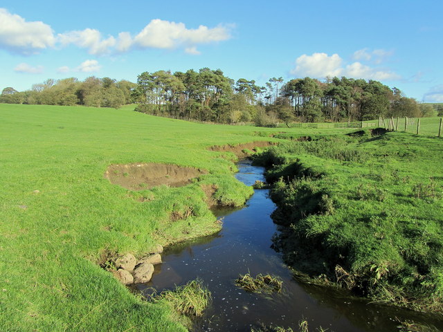
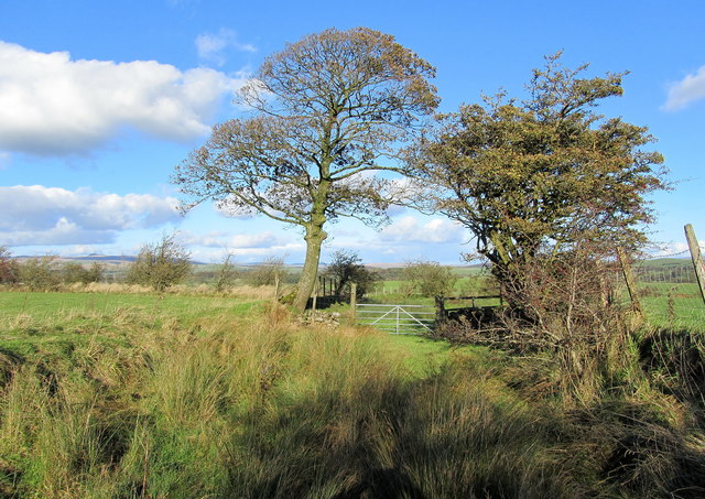
Halton West is a civil parish situated in the beautiful county of Yorkshire, England. It is located in the Craven district and lies approximately 5 miles north-west of the market town of Skipton. The parish is surrounded by picturesque countryside, with rolling hills and lush green fields.

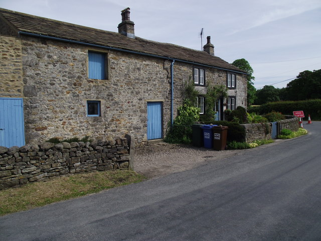
The village of Halton West itself is small and charming, with a population of around 200 people. It is characterized by its traditional stone-built houses and quaint village green. The village is known for its strong sense of community, with residents actively participating in various local events and initiatives.

The parish boasts a rich history, with evidence of human settlement dating back to the Bronze Age. There are several notable landmarks in the area, including the medieval St. Margaret's Church, which is a Grade II listed building. The church is renowned for its beautiful architecture and houses many historical artifacts.

Despite its small size, Halton West offers a range of amenities for its residents and visitors. These include a village hall, a primary school, and a popular pub that serves as a hub for socializing. Additionally, the surrounding area provides ample opportunities for outdoor activities such as hiking, cycling, and fishing.

Overall, Halton West is a charming and idyllic civil parish in Yorkshire, combining natural beauty with a strong community spirit. It is a place where residents can enjoy a peaceful countryside lifestyle while still being within easy reach of larger towns and cities.

If you have any feedback on the listing, please let us know in the comments section below.
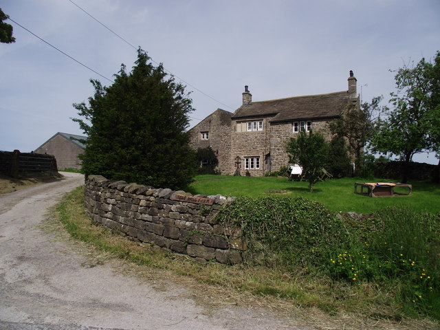
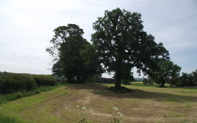
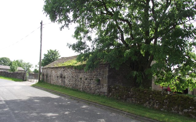
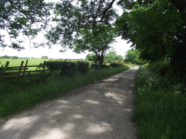
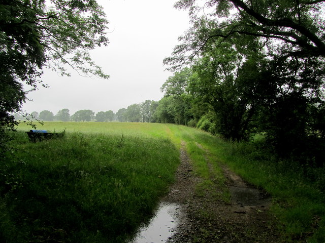
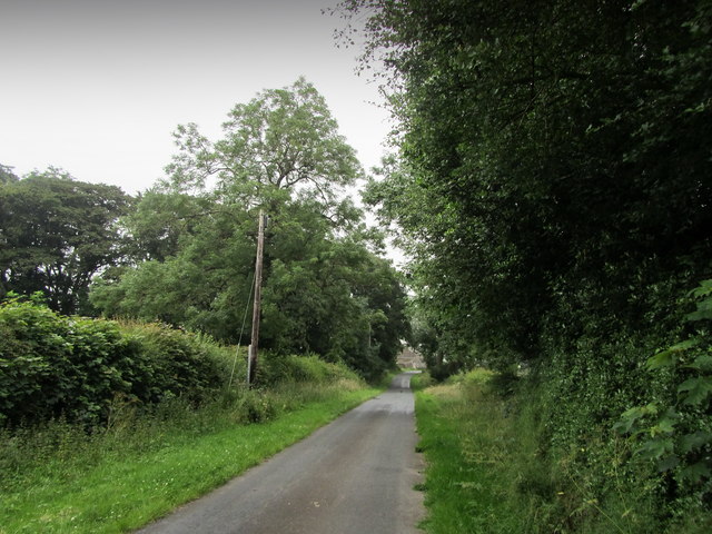
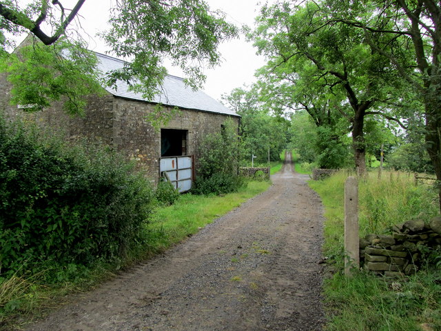
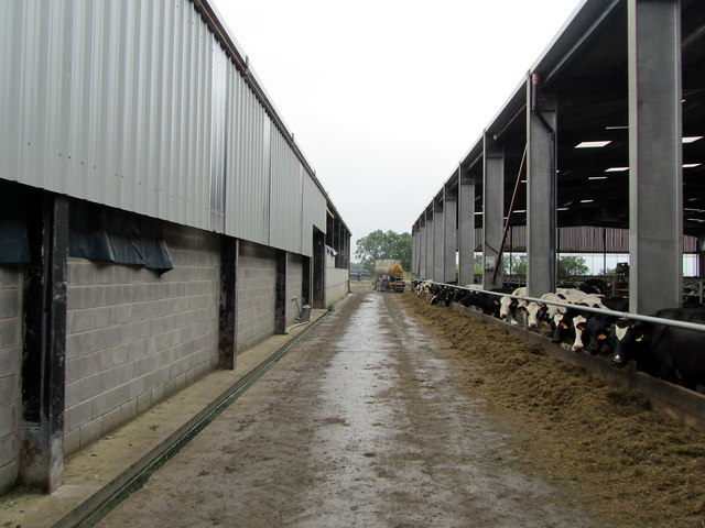
Halton West Images

Images are sourced within 2km of 53.985422/-2.261645 or Grid Reference SD8254. Thanks to Geograph Open Source API. All images are credited.
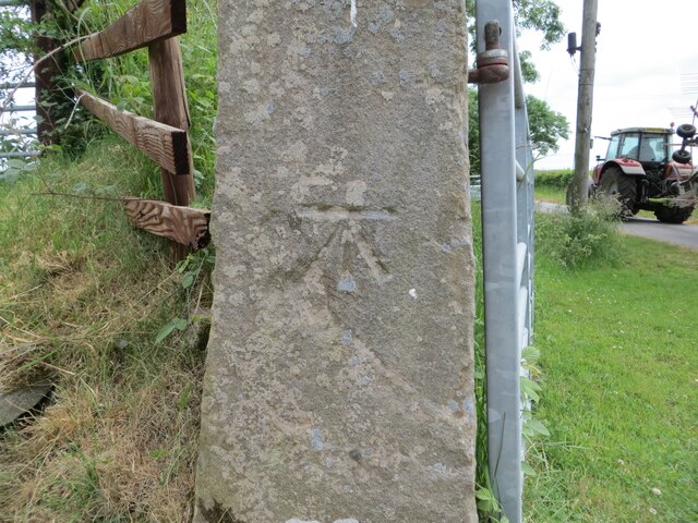
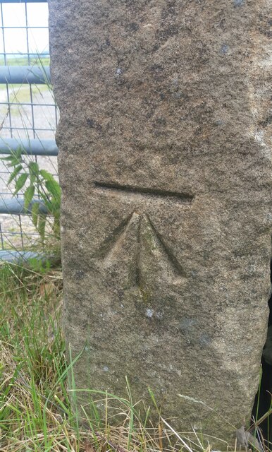
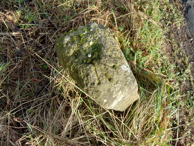
Ordnance Survey Cut Mark This mark can be found on the gatepost at the entrance to Long Bank Farm.
The benchmark has a recorded height of 155.9753 metres above sea level.
For more detail see : <span class="nowrap"><a title="https://www.bench-marks.org.uk/bm152156" rel="nofollow ugc noopener" href="https://www.bench-marks.org.uk/bm152156">Link</a><img style="margin-left:2px;" alt="External link" title="External link - shift click to open in new window" src="https://s1.geograph.org.uk/img/external.png" width="10" height="10"/></span>
Ordnance Survey Cut Mark
This mark can be found on the gatepost at the entrance to Long Bank Farm. The benchmark has a recorded height of 155.9753 metres above sea level. For more detail see : LinkExternal link
Ordnance Survey Cut Mark with Rivet This mark and rivet can be found on the top of a boundary stone at Carr Moor crossroads.
The benchmark has a recorded height of 165.7167 metres above sea level.
For more detail see : <span class="nowrap"><a title="https://www.bench-marks.org.uk/bm124037" rel="nofollow ugc noopener" href="https://www.bench-marks.org.uk/bm124037">Link</a><img style="margin-left:2px;" alt="External link" title="External link - shift click to open in new window" src="https://s1.geograph.org.uk/img/external.png" width="10" height="10"/></span>
[Since the earlier picture <a title="https://www.geograph.org.uk/photo/6038091" href="https://www.geograph.org.uk/photo/6038091">Link</a> the boundary stone seems to have been involved in a RTA and is now leaning at a 45 degree angle]
Ordnance Survey Cut Mark with Rivet
This mark and rivet can be found on the top of a boundary stone at Carr Moor crossroads. The benchmark has a recorded height of 165.7167 metres above sea level. For more detail see : LinkExternal link [Since the earlier picture Link the boundary stone seems to have been involved in a RTA and is now leaning at a 45 degree angle]
Ordnance Survey Cut Mark This mark can be found on a gatepost at the entrance to a track to Stubb Farm.
The benchmark has a recorded height of 207.706 metres above sea level.
For more detail see : <span class="nowrap"><a title="https://www.bench-marks.org.uk/bm65858" rel="nofollow ugc noopener" href="https://www.bench-marks.org.uk/bm65858">Link</a><img style="margin-left:2px;" alt="External link" title="External link - shift click to open in new window" src="https://s1.geograph.org.uk/img/external.png" width="10" height="10"/></span>
Ordnance Survey Cut Mark
This mark can be found on a gatepost at the entrance to a track to Stubb Farm. The benchmark has a recorded height of 207.706 metres above sea level. For more detail see : LinkExternal link
Paythorne, Boundary stone The benchmark and rivet are cut into the top of the boundary stone found on the grass verge at the crossroads.
Paythorne, Boundary stone
The benchmark and rivet are cut into the top of the boundary stone found on the grass verge at the crossroads.
Paythorne, Boundary stone  There is a benchmark and rivet cut into the top of the boundary stone found on the grass verge at the crossroads.
Paythorne, Boundary stone
There is a benchmark and rivet cut into the top of the boundary stone found on the grass verge at the crossroads.
Ged Beck looking Downstream Crossing this stream below Black Plantation the scene looks down Ged Beck towards Gallaber Hole Plantation, on its journey to the River Ribble.
Ged Beck looking Downstream
Crossing this stream below Black Plantation the scene looks down Ged Beck towards Gallaber Hole Plantation, on its journey to the River Ribble.
Bridleway near Englands Head Part of the bridleway followed between Paa Hill and Nappa Flats - very boggy in texture
Bridleway near Englands Head
Part of the bridleway followed between Paa Hill and Nappa Flats - very boggy in texture
Crossroads north of Paythorne Also the boundary between the civil parishes of Paythorne and Halton West.
Crossroads north of Paythorne
Also the boundary between the civil parishes of Paythorne and Halton West.
Rose Cottage and barn In Halton West, a small mostly agricultural community.
Rose Cottage and barn
In Halton West, a small mostly agricultural community.
Auld Hall Farm One of several farms in the hamlet of Halton West.
Auld Hall Farm
One of several farms in the hamlet of Halton West.
Field at Halton West Farm field in use on this day for the grazing of calves.
Field at Halton West
Farm field in use on this day for the grazing of calves.
Barn at Halton West On the lane running through the hamlet, in a working farmyard.
Barn at Halton West
On the lane running through the hamlet, in a working farmyard.
Brook Lane, Halton West Part of the Ribble Way footpath.
Brook Lane, Halton West
Part of the Ribble Way footpath.
Field by Long Bank Farm Seen from Long Bank Lane - a pasture on a wet misty day
Field by Long Bank Farm
Seen from Long Bank Lane - a pasture on a wet misty day
Long Bank Lane A minor road near Halton West
Long Bank Lane
A minor road near Halton West
Access Lane from Lower Thornber Farm The access lane reaches the Queen's highway by the stone barn, which appears to act like a functional lodge
Access Lane from Lower Thornber Farm
The access lane reaches the Queen's highway by the stone barn, which appears to act like a functional lodge
Dairy Operations at West Thornber Farm The farm has expanded, but there has been no attempt to deal with the four public footpaths that converge at this location.  Hence I became lost and was wandering around the huge outbuildings, eventually finding the exit that was completely buried under nettles.
Dairy Operations at West Thornber Farm
The farm has expanded, but there has been no attempt to deal with the four public footpaths that converge at this location. Hence I became lost and was wandering around the huge outbuildings, eventually finding the exit that was completely buried under nettles.
High Laithe Stone Barn surrounded by nettles, thistles and other rampant vegetation at West Thornber Farm
High Laithe
Stone Barn surrounded by nettles, thistles and other rampant vegetation at West Thornber Farm
Show me another place!

Halton West is located at Grid Ref: SD8254 (Lat: 53.985422, Lng: -2.261645)

Division: West Riding

Administrative County: North Yorkshire

District: Craven

Police Authority: North Yorkshire

What 3 Words

///suppose.share.wobbling. Near Hellifield, North Yorkshire

Related Wikis

Halton West

Halton West is a village and civil parish in the Craven district of North Yorkshire, England. North Yorkshire County Council estimated the population in...

Paythorne

Paythorne is a small village and civil parish in Ribble Valley, Lancashire, England. It is situated alongside the River Ribble, north-east of Clitheroe...

Nappa, North Yorkshire

Nappa is a hamlet in the civil parish of Hellifield, in North Yorkshire, England. It is on the A682 road and 6 miles (9.7 km) north-west of Barnoldswick...

Newsholme, Lancashire

Newsholme is a small village and civil parish in the Ribble Valley, Lancashire, England, but lies within the historic West Riding of Yorkshire. According...

Newsholme railway station

Newsholme railway station was a railway station that served the small village of Newsholme in Lancashire. It was built by the Lancashire and Yorkshire...

Swinden

Swinden is a village in the civil parish of Hellifield, in North Yorkshire, England. It is near Halton West and Nappa and about 7 miles north of Barnoldswick...

Wigglesworth

Wigglesworth is a village and civil parish in the Craven district of North Yorkshire, England. The population of the civil parish taken at the 2011 Census...

Hellifield

Hellifield is a village and civil parish in the Craven district of North Yorkshire, England (grid reference SD855565). Historically part of the West Riding...

Related Videos

Early Morning take off with Airborne Adventures Ltd

A typical early morning take off from our launch site in Wigglesworth, near to Settle in the Yorkshire Dales. No couples getting ...

Dandelion Glamping Pod

Get a 360 view of our Glamping pod 'Dandelion', one of our luxury, king size pods on our glamping site.

Daisy Glamping Pod

Daisy is our SUPER-LUXURIOUS glamping pod complete with a glass-covered veranda to enjoy all of the elements in comfort, ...

Buttercup Glamping Pod

Take a sneak peak into Buttercup, one of our luxury, king-size glamping pods. This 3D teaser let's you experience all of the ...

Nearby Amenities

Located within 500m of 53.985422,-2.261645
Round Hill
Is In Country Code: GB
Natural: peak
Source: OS 1:25k
Lat/Long: 53.9874793/-2.2649643
Power: pole
Lat/Long: 53.9812538/-2.2634035
Power: pole
Lat/Long: 53.9820897/-2.2629851
Power: pole
Lat/Long: 53.9828626/-2.2625506
Power: pole
Lat/Long: 53.9851148/-2.2613275
Power: pole
Lat/Long: 53.9858686/-2.2609252
Power: pole
Lat/Long: 53.9867297/-2.2604799
Power: pole
Lat/Long: 53.9874867/-2.260024
Power: pole
Lat/Long: 53.9882815/-2.2596538
Power: pole
Lat/Long: 53.9890259/-2.25923
The data included in this document is from www.openstreetmap.org. The data is made available under ODbL.

Have you been to Halton West?

Leave your review of Halton West below (or comments, questions and feedback).