Halton-with-Aughton
Civil Parish in Lancashire Lancaster
England
Halton-with-Aughton

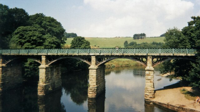
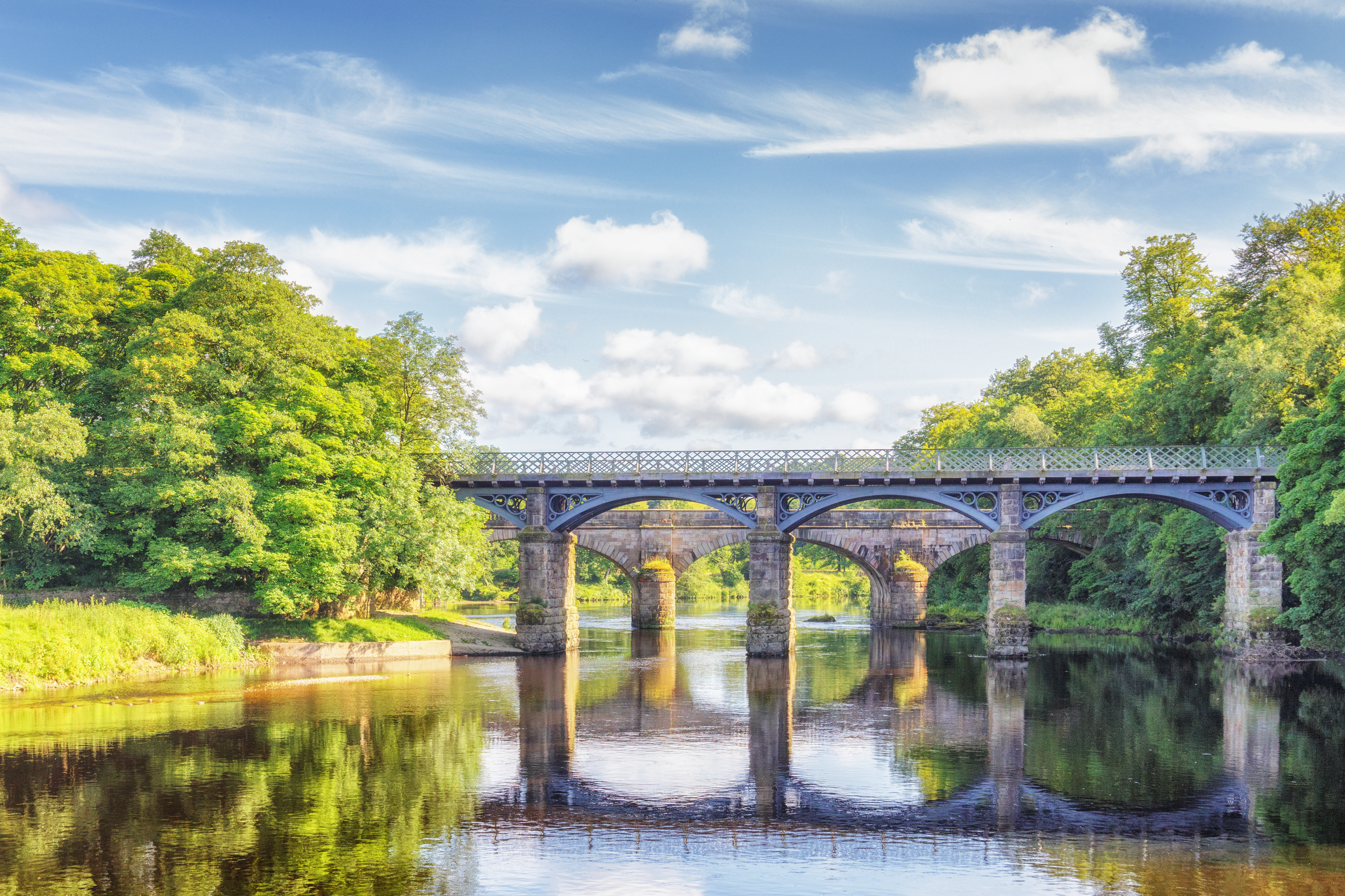
Halton-with-Aughton is a civil parish located in the county of Lancashire, England. It is situated in the district of Lancaster, near the city of Lancaster. The civil parish is made up of two main villages, Halton and Aughton, which are separated by the River Lune.
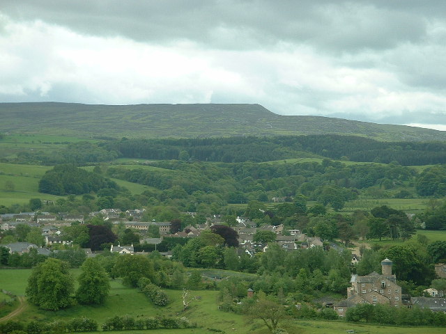
Halton, the larger of the two villages, is known for its picturesque setting, nestled between the rolling hills of the Forest of Bowland and the banks of the River Lune. The village has a rich history, with evidence of human settlement dating back to the Neolithic period. It was once an important industrial center, with a thriving quarrying and mining industry.
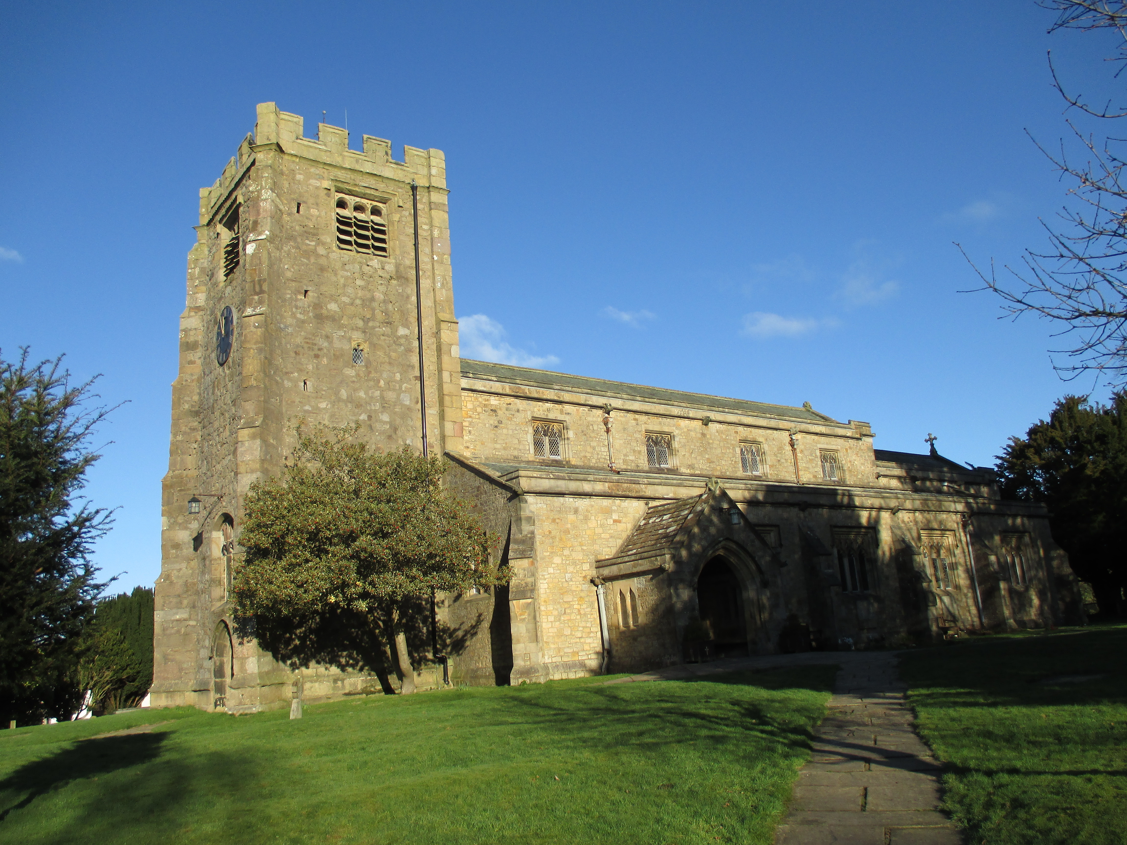
Aughton, located on the opposite bank of the River Lune, is a smaller village with a more rural feel. It is surrounded by lush farmland and offers stunning views of the countryside. The village is known for its quaint cottages and historic buildings, including the Grade II listed St. Saviour's Church.
The civil parish of Halton-with-Aughton is home to a close-knit community that takes pride in its heritage and natural surroundings. The area offers a range of amenities, including a primary school, a village hall, and several local businesses. It is also well-connected, with easy access to the nearby city of Lancaster and the M6 motorway.
Overall, Halton-with-Aughton is a charming civil parish that combines rural tranquility with easy access to urban amenities. Its rich history, natural beauty, and strong sense of community make it a desirable place to live and visit.
If you have any feedback on the listing, please let us know in the comments section below.
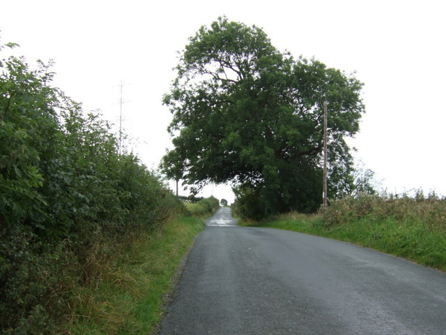
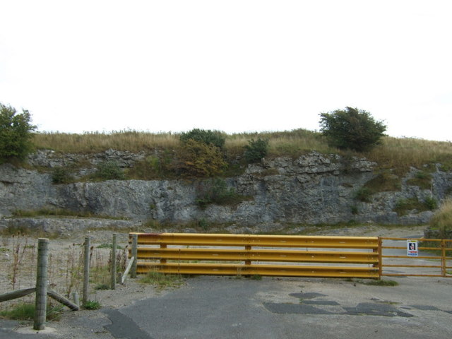
Halton-with-Aughton Images
Images are sourced within 2km of 54.091117/-2.729238 or Grid Reference SD5266. Thanks to Geograph Open Source API. All images are credited.


Halton-with-Aughton is located at Grid Ref: SD5266 (Lat: 54.091117, Lng: -2.729238)
Administrative County: Lancashire
District: Lancaster
Police Authority: Lancashire
What 3 Words
///hometown.majority.invoices. Near Caton, Lancashire
Nearby Locations
Related Wikis

Artle Beck
Artle Beck is a minor river of Lancashire. Rising at the confluence of Udale Beck and Foxdale Beck below Fosdale Bridge and Udale Bridge near Crossgill...

Caton railway station
Caton railway station served the village of Caton in the City of Lancaster district of Lancashire, England. The station was located near Ball Lane and...
Crook o' Lune
The Crook o' Lune or Crook of Lune, about three miles north-east of Lancaster, Lancashire, is a horseshoe bend of the River Lune, which here meanders through...
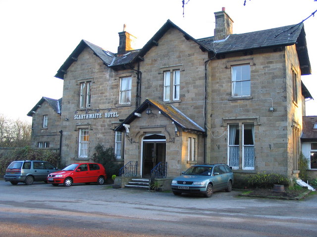
The Scarthwaite Hotel
The Scarthwaite Country House Hotel at Crook O’Lune near Caton in Lancashire is a house of historical significance. It was built in 1858 by Adam Hodgson...
Caton-with-Littledale
The civil parish of Caton-with-Littledale is situated in Lancashire, England, near the River Lune. The parish lies within the Forest of Bowland Area of...
North West England
North West England (North West Region) is one of nine official regions of England and consists of the ceremonial counties of Cheshire, Cumbria, Greater...
St Paul's Church, Brookhouse
St Paul's Church is in the village of Brookhouse, Caton-with-Littledale, Lancashire, England. It is an active Anglican parish church in the deanery of...

Nether Kellet
Nether Kellet is a village and civil parish in the City of Lancaster in Lancashire, England, a few miles south of Carnforth. It had a population of 646...
Nearby Amenities
Located within 500m of 54.091117,-2.729238Have you been to Halton-with-Aughton?
Leave your review of Halton-with-Aughton below (or comments, questions and feedback).