Round Hill
Hill, Mountain in Yorkshire Craven
England
Round Hill
Round Hill, located in Yorkshire, England, is a prominent hill and the highest point in the county. With an elevation of 1,339 feet (408 meters), it stands as a testament to the natural beauty and diverse landscape of the region. Situated within the North York Moors National Park, Round Hill offers breathtaking panoramic views of its surroundings.
The hill itself is characterized by its rounded shape, covered in heather and grass, lending it a distinctive appearance. It is a popular destination for hikers, nature enthusiasts, and photographers due to its accessibility and stunning vistas. The climb to the summit is considered moderate, making it suitable for individuals of varying fitness levels.
Round Hill is home to a rich variety of flora and fauna, including heather, bilberry, and mosses, which thrive in the peat soil. Birdwatchers can spot a range of avian species in the area, including grouse, curlews, and golden plovers.
The hill's strategic location has also played a role in its history. In the past, it served as a landmark for travelers and a vantage point for defense purposes. Remnants of prehistoric settlements, such as stone circles and burial mounds, can still be found in the vicinity, adding to the hill's historical significance.
Overall, Round Hill, Yorkshire, offers visitors a chance to immerse themselves in the natural beauty of the region, appreciate its geological features, and experience the rich history of the area. Whether it's a leisurely stroll or a challenging hike, Round Hill promises a memorable and rewarding experience for all who venture to its summit.
If you have any feedback on the listing, please let us know in the comments section below.
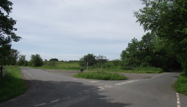
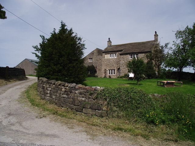
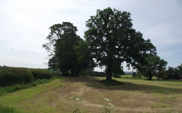
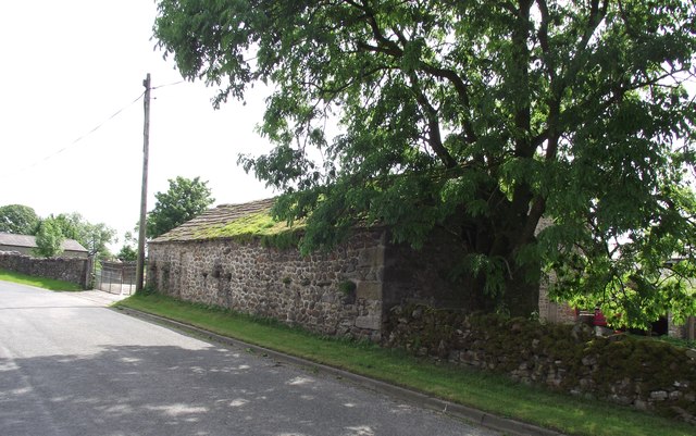
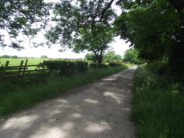
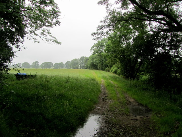
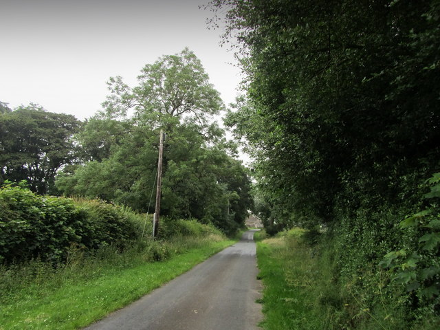
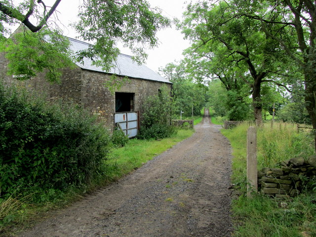
Round Hill Images
Images are sourced within 2km of 53.988842/-2.266691 or Grid Reference SD8254. Thanks to Geograph Open Source API. All images are credited.
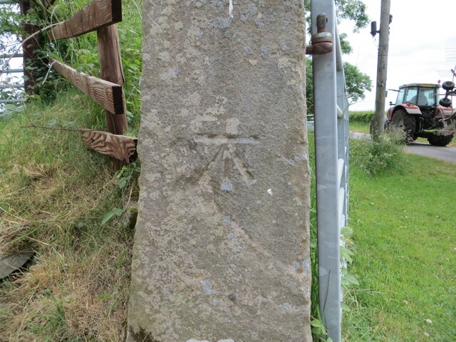
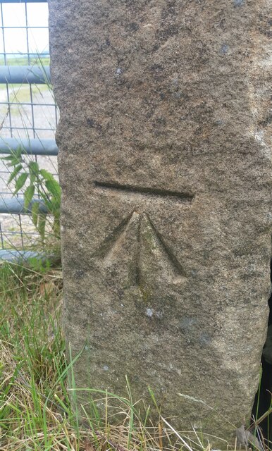
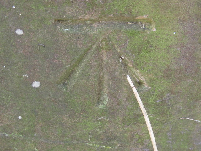
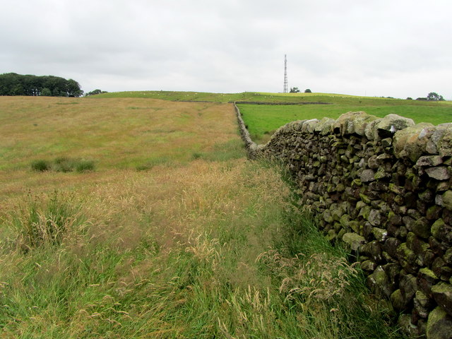
![Ordnance Survey Cut Mark with Rivet This mark and rivet can be found on the top of a boundary stone at Carr Moor crossroads.
The benchmark has a recorded height of 165.7167 metres above sea level.
For more detail see : <span class="nowrap"><a title="https://www.bench-marks.org.uk/bm124037" rel="nofollow ugc noopener" href="https://www.bench-marks.org.uk/bm124037">Link</a><img style="margin-left:2px;" alt="External link" title="External link - shift click to open in new window" src="https://s1.geograph.org.uk/img/external.png" width="10" height="10"/></span>
[Since the earlier picture <a title="https://www.geograph.org.uk/photo/6038091" href="https://www.geograph.org.uk/photo/6038091">Link</a> the boundary stone seems to have been involved in a RTA and is now leaning at a 45 degree angle]](https://s3.geograph.org.uk/geophotos/06/91/92/6919283_f9856956.jpg)
Round Hill is located at Grid Ref: SD8254 (Lat: 53.988842, Lng: -2.266691)
Division: West Riding
Administrative County: North Yorkshire
District: Craven
Police Authority: North Yorkshire
What 3 Words
///tank.capers.nudge. Near Hellifield, North Yorkshire
Nearby Locations
Related Wikis

Halton West
Halton West is a village and civil parish in the Craven district of North Yorkshire, England. North Yorkshire County Council estimated the population in...

Wigglesworth
Wigglesworth is a village and civil parish in the Craven district of North Yorkshire, England. The population of the civil parish taken at the 2011 Census...

Paythorne
Paythorne is a small village and civil parish in Ribble Valley, Lancashire, England. It is situated alongside the River Ribble, north-east of Clitheroe...

Long Preston railway station
Long Preston is a railway station on the Bentham Line, which runs between Leeds and Morecambe via Skipton. The station, situated 37+1⁄2 miles (60 km) north...

Nappa, North Yorkshire
Nappa is a hamlet in the civil parish of Hellifield, in North Yorkshire, England. It is on the A682 road and 6 miles (9.7 km) north-west of Barnoldswick...

Long Preston
Long Preston is a village and civil parish in the Craven district of North Yorkshire, England, in the Yorkshire Dales. It lies along the A65 road, and...

Hellifield
Hellifield is a village and civil parish in the Craven district of North Yorkshire, England (grid reference SD855565). Historically part of the West Riding...

Swinden
Swinden is a village in the civil parish of Hellifield, in North Yorkshire, England. It is near Halton West and Nappa and about 7 miles north of Barnoldswick...
Related Videos
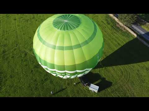
Early Morning take off with Airborne Adventures Ltd
A typical early morning take off from our launch site in Wigglesworth, near to Settle in the Yorkshire Dales. No couples getting ...
Nearby Amenities
Located within 500m of 53.988842,-2.266691Have you been to Round Hill?
Leave your review of Round Hill below (or comments, questions and feedback).