Peat Fell Hill
Hill, Mountain in Yorkshire Richmondshire
England
Peat Fell Hill
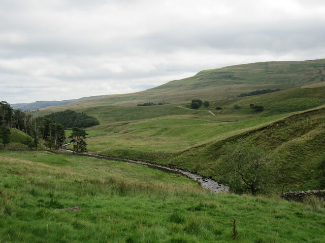
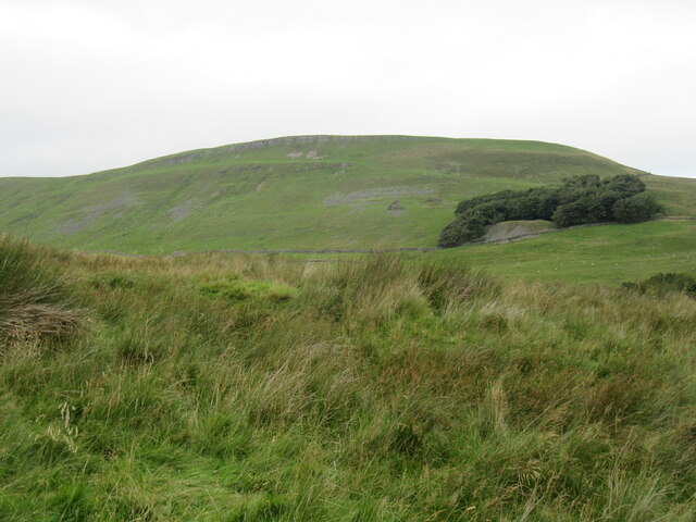
Peat Fell Hill, located in the county of Yorkshire, England, is a prominent hill/mountain that forms part of the breathtaking landscape of the North York Moors National Park. Standing at an elevation of approximately 1,968 feet (600 meters), it offers a commanding presence in the surrounding area.
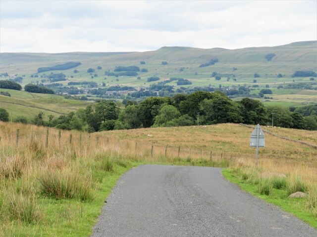
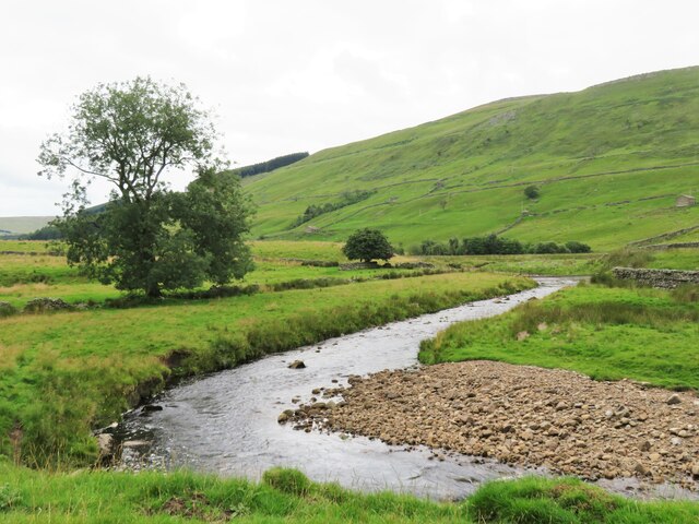
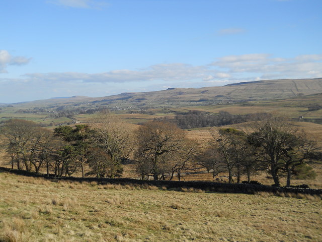
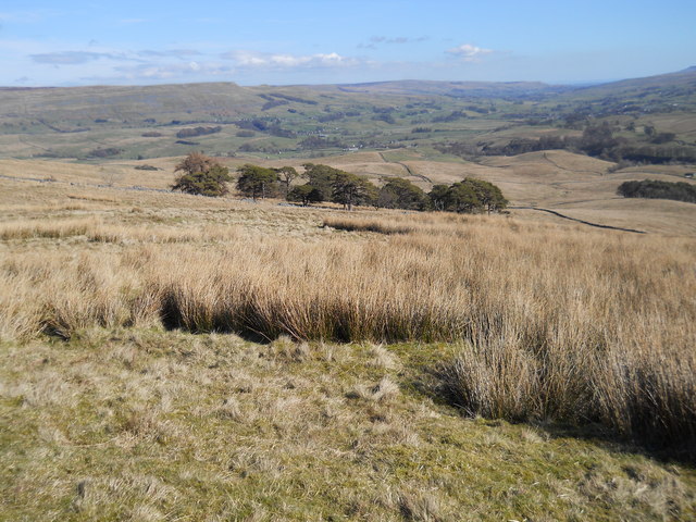
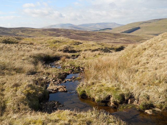
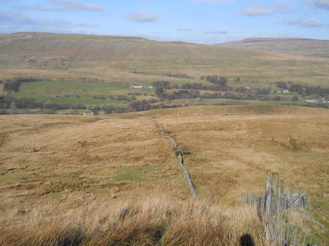
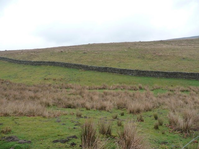
The hill is known for its rugged and wild beauty, characterized by vast expanses of heather moorland, rocky outcrops, and scattered patches of peat bog. Its distinctive shape, with a steep eastern face that gradually slopes down towards the west, provides an awe-inspiring panorama for visitors and hikers.
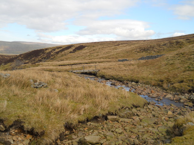
Peat Fell Hill is a popular destination for outdoor enthusiasts, offering a range of activities throughout the year. Hiking and walking trails crisscross the hill, providing opportunities to explore the diverse flora and fauna that call this area home. The hill is particularly renowned for its birdlife, with species such as curlews, lapwings, and golden plovers frequently spotted.
On a clear day, the summit of Peat Fell Hill offers breathtaking views across the North York Moors, with its rolling hills, valleys, and scattered villages. It is an ideal spot for photographers and nature lovers alike, seeking to capture the beauty of the surrounding landscape.
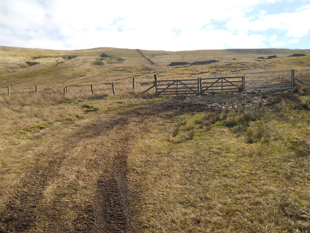
Access to Peat Fell Hill is available from various points, with well-maintained paths and signposts guiding visitors to the summit. However, it is advised to check weather conditions and be prepared for changing weather patterns, as the hill can be exposed to strong winds and sudden changes in temperature.
In summary, Peat Fell Hill is a stunning natural feature within the North York Moors National Park, offering a captivating experience for those who seek to immerse themselves in Yorkshire's rugged beauty.
If you have any feedback on the listing, please let us know in the comments section below.
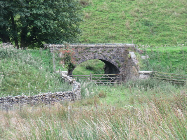
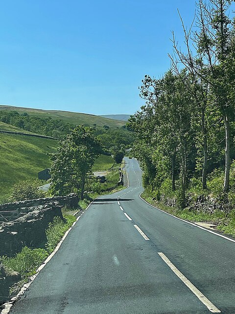
Peat Fell Hill Images
Images are sourced within 2km of 54.317382/-2.2689823 or Grid Reference SD8291. Thanks to Geograph Open Source API. All images are credited.


Peat Fell Hill is located at Grid Ref: SD8291 (Lat: 54.317382, Lng: -2.2689823)
Division: North Riding
Administrative County: North Yorkshire
District: Richmondshire
Police Authority: North Yorkshire
What 3 Words
///obstinate.live.soap. Near Sedbergh, Cumbria
Nearby Locations
Related Wikis

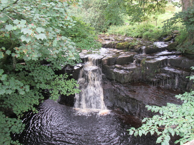
Cotter Force
Cotter Force is a small waterfall on Cotterdale Beck, a minor tributary of the River Ure, near the mouth of Cotterdale, a side dale in Wensleydale, North...

Cotterdale
Cotterdale is a small side dale and hamlet on the north side of Wensleydale in North Yorkshire, England. The dale lies to the west of Great Shunner Fell...
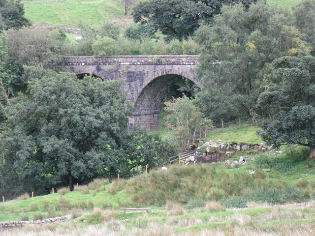
Moorcock Inn
The Moorcock Inn is a public house at the watershed of the Eden, Clough and Ure rivers, in Upper Wensleydale, North Yorkshire, England. It is adjacent...

Appersett
Appersett is a hamlet in the Yorkshire Dales in the Richmondshire district of North Yorkshire, England one mile (1.6 km) west of Hawes. It lies on the...
Nearby Amenities
Located within 500m of 54.317382,-2.2689823Have you been to Peat Fell Hill?
Leave your review of Peat Fell Hill below (or comments, questions and feedback).