Goring-on-Thames
Civil Parish in Oxfordshire South Oxfordshire
England
Goring-on-Thames
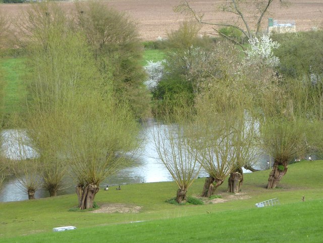
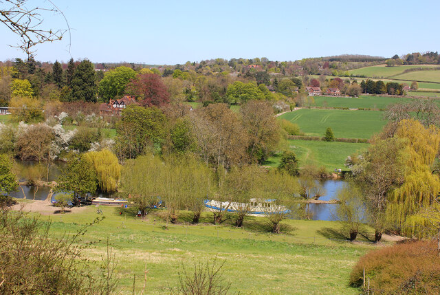
Goring-on-Thames is a picturesque civil parish located in Oxfordshire, England. Situated on the banks of the River Thames, it is surrounded by beautiful countryside, making it an ideal destination for nature lovers and outdoor enthusiasts.
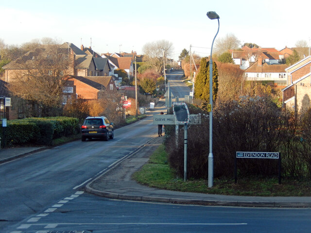
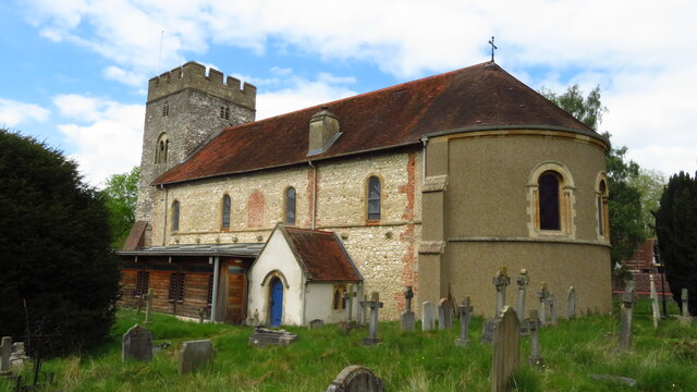
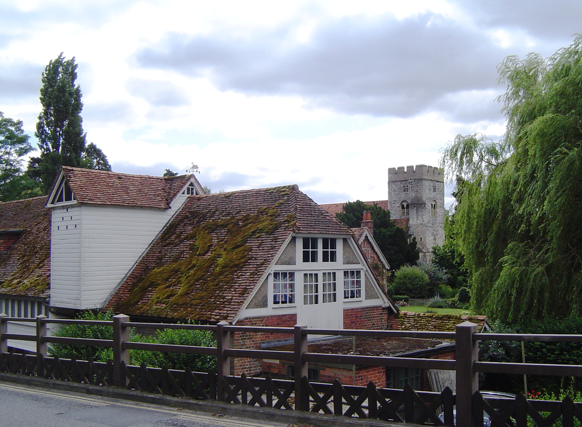
The village of Goring-on-Thames is known for its charming and traditional English character. It features a mix of historic buildings, including thatched cottages and timber-framed houses, giving it a delightful and quaint atmosphere. The parish church of St. Thomas of Canterbury, dating back to the 12th century, is a prominent landmark in the village.
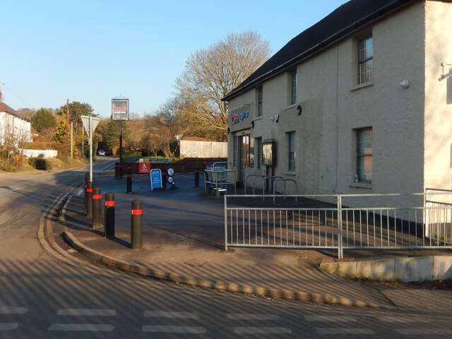
Goring-on-Thames offers a range of amenities and facilities to cater to residents and visitors alike. There are several local shops, restaurants, and pubs, where one can sample traditional British cuisine and enjoy a warm and friendly atmosphere. The village also has a primary school, a library, and a health center, ensuring that the community's needs are well met.
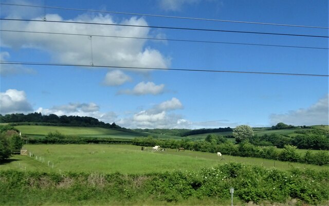
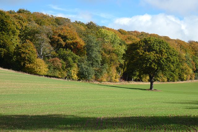
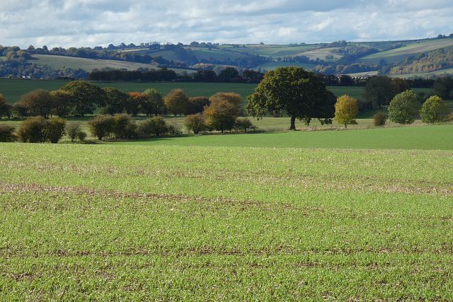
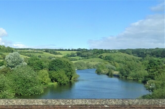
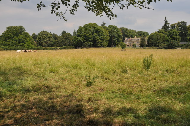
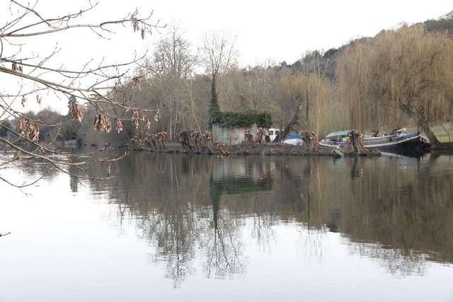
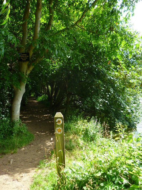
Nature plays a significant role in Goring-on-Thames, with the area being designated as an Area of Outstanding Natural Beauty. The surrounding countryside offers stunning walks and cycling routes, providing ample opportunities to explore the scenic landscapes. The nearby Chiltern Hills and the Thames Path National Trail are popular destinations for outdoor activities.
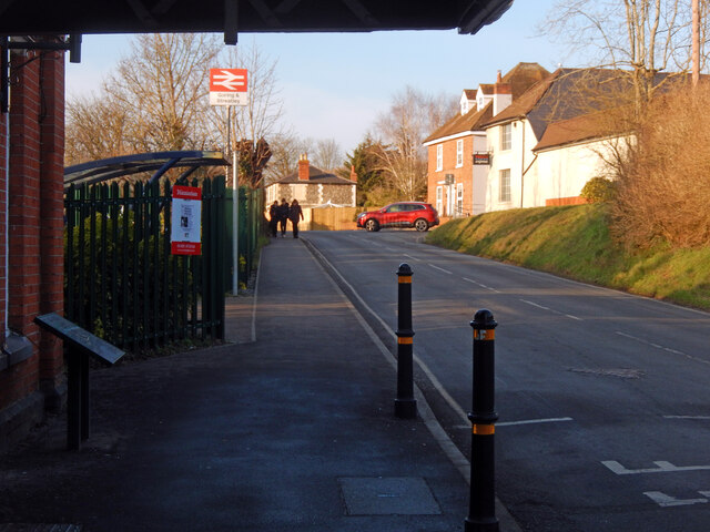
Goring-on-Thames benefits from excellent transport links. The village has a railway station, providing easy access to London and other major cities. Additionally, it is well-connected by road, with the A329 passing through the parish, offering convenient connectivity to nearby towns and cities.
Overall, Goring-on-Thames, Oxfordshire, is a charming and idyllic civil parish that combines natural beauty with a rich history, making it a desirable place to live or visit for those seeking a quintessentially English experience.
If you have any feedback on the listing, please let us know in the comments section below.
Goring-on-Thames Images
Images are sourced within 2km of 51.524946/-1.118438 or Grid Reference SU6181. Thanks to Geograph Open Source API. All images are credited.


Goring-on-Thames is located at Grid Ref: SU6181 (Lat: 51.524946, Lng: -1.118438)
Administrative County: Oxfordshire
District: South Oxfordshire
Police Authority: Thames Valley
What 3 Words
///chapels.resources.yard. Near Goring, Oxfordshire
Nearby Locations
Related Wikis

Goring & Streatley railway station
Goring & Streatley railway station is on the Great Western Main Line, serving the twin villages of Goring-on-Thames in Oxfordshire and Streatley in Berkshire...
Goring-on-Thames
Goring-on-Thames (or Goring) is a village and civil parish on the River Thames in South Oxfordshire, Oxfordshire, England. It is located about 5+1⁄2 mi...

Elvendon
Elvendon is a small settlement in Oxfordshire and the Chiltern Hills, near Goring. It includes the grade II listed building Elvendon Priory. == Etymology... ==
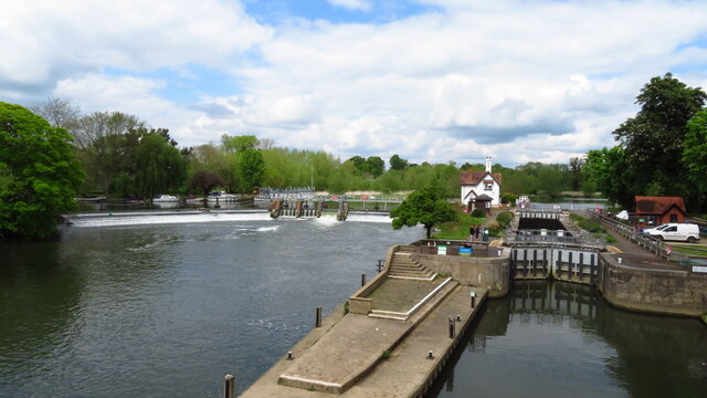
Cleeve Lock
Cleeve Lock is a lock on the River Thames, in Oxfordshire, England. It is located just upstream of Goring and Streatley villages, on the eastern side...

Goring Heath
Goring Heath is a hamlet and civil parish in the Chiltern Hills in South Oxfordshire. The civil parish includes the villages of Whitchurch Hill and Crays...
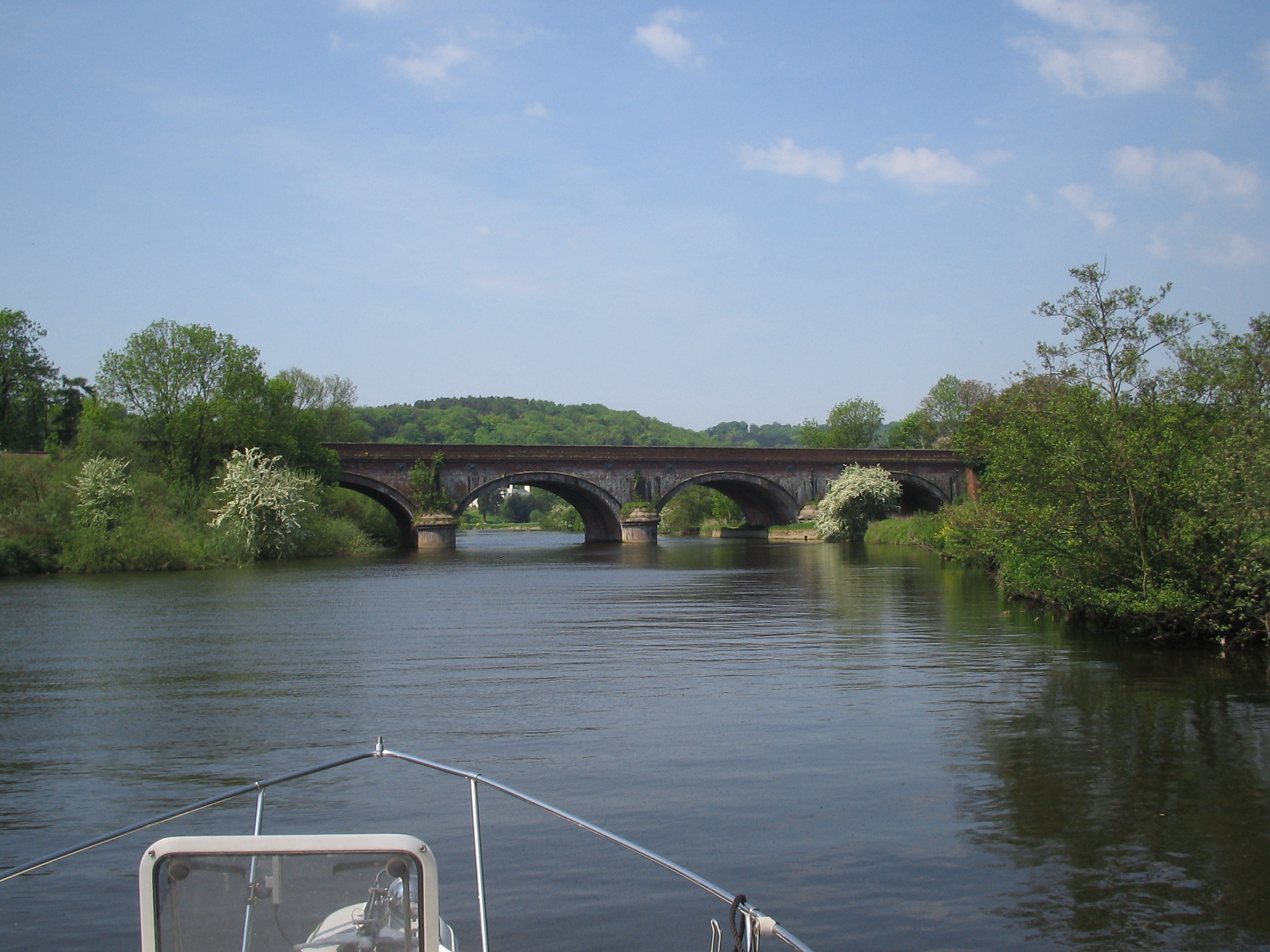
Gatehampton Railway Bridge
Gatehampton Railway Bridge, otherwise referred to as Gatehampton Viaduct, is a railway bridge carrying the Great Western Main Line over the River Thames...

Goring Gap
The Goring Gap is the narrow valley, occupied by the River Thames, between the Chiltern Hills and the Berkshire Downs. It is approximately 10 miles (16...

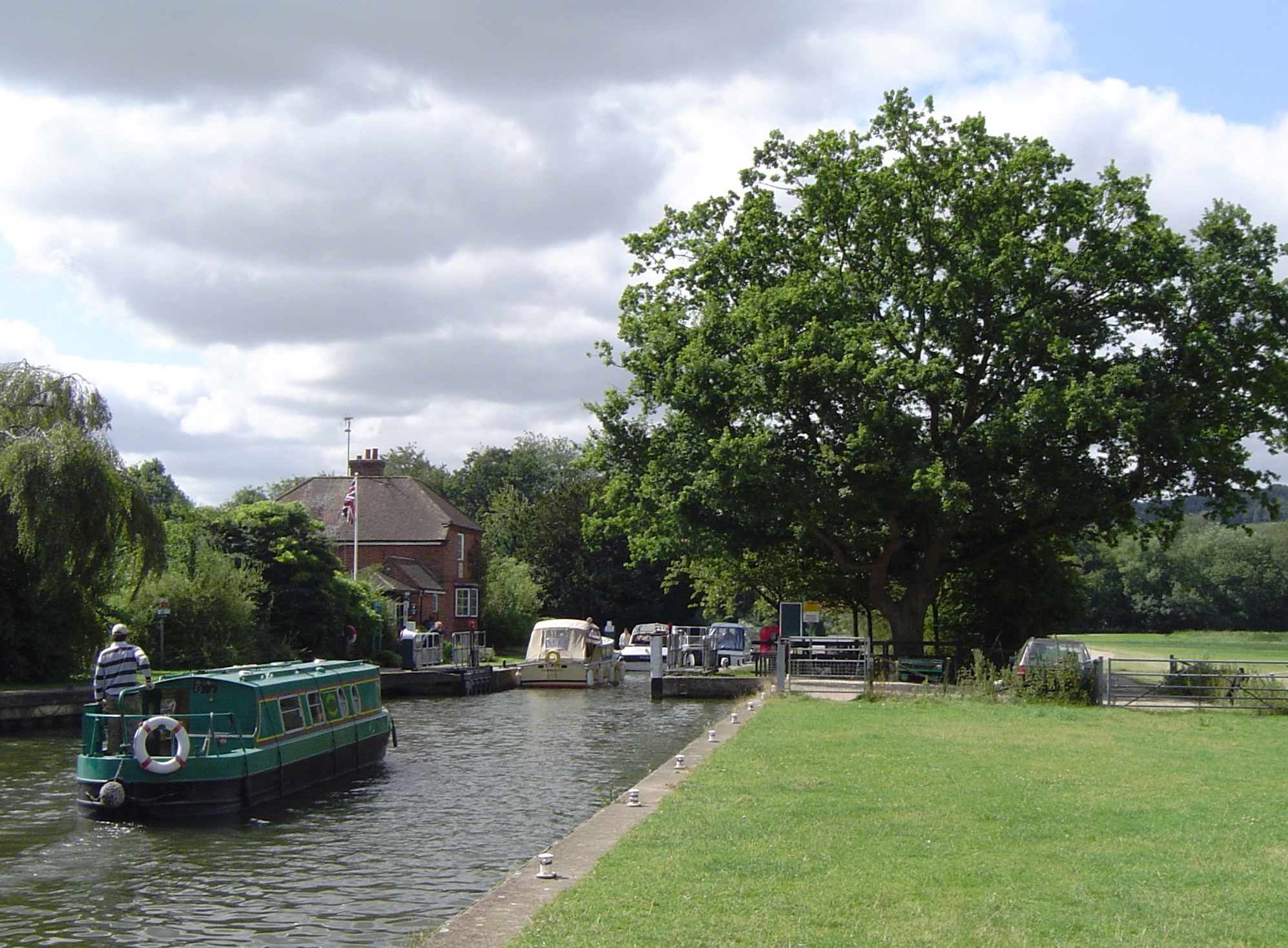
Goring Lock
Goring Lock is a lock and weir situated on the River Thames in England at the Goring Gap in the Chiltern Hills. The lock is located on the Oxfordshire...
Nearby Amenities
Located within 500m of 51.524946,-1.118438Have you been to Goring-on-Thames?
Leave your review of Goring-on-Thames below (or comments, questions and feedback).