Goring Heath

Civil Parish in Oxfordshire South Oxfordshire

England

Goring Heath
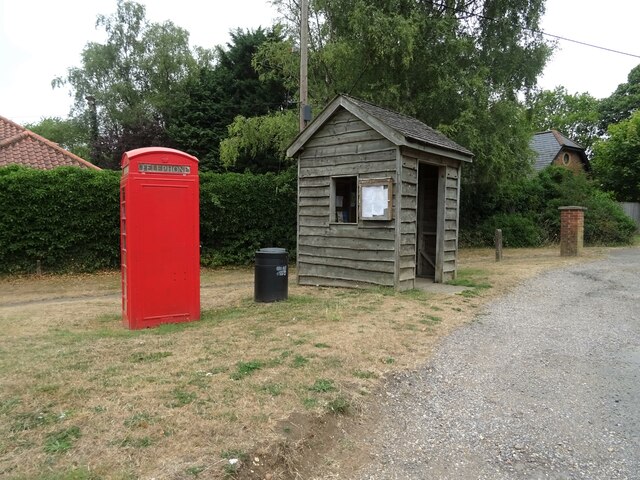
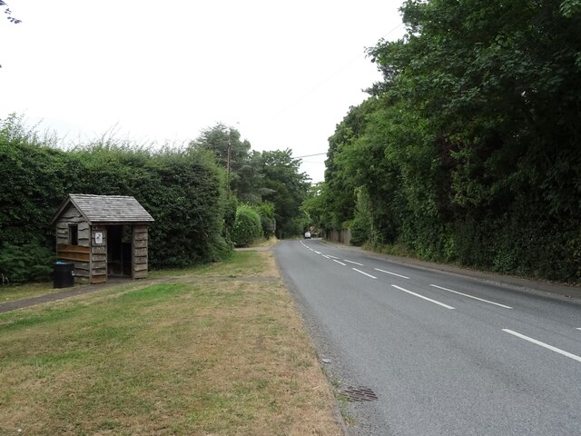
K6 telephone box and bus shelter, Cray's Pond
K6 telephone box and bus shelter, Cray's Pond Credit: JThomas

Goring Heath is a civil parish located in the county of Oxfordshire, England. It is situated about 7 miles northwest of the town of Reading and approximately 9 miles southwest of the city of Oxford. The parish covers an area of around 1,340 acres and is nestled within the beautiful Chiltern Hills.

The village of Goring Heath itself is small and primarily residential, with a population of around 200 people. It is surrounded by picturesque countryside, characterized by rolling hills, woodlands, and fields. The area is known for its natural beauty and tranquility, making it a popular destination for outdoor enthusiasts and nature lovers.

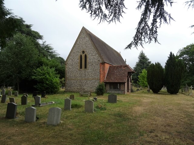
The parish is home to several historic buildings and landmarks, including St. John the Baptist Church, which dates back to the 13th century. The church is a Grade II listed building and features a distinctive bellcote and a beautiful stained glass window.

Goring Heath offers a peaceful rural lifestyle, with a close-knit community that enjoys a range of local amenities and activities. The village has a village hall, which hosts various events and social gatherings throughout the year. Additionally, there are several footpaths and bridleways that crisscross the area, providing opportunities for walking, cycling, and horse riding.

Overall, Goring Heath is a charming and idyllic parish that offers a quiet and picturesque setting, perfect for those seeking a rural retreat within easy reach of larger towns and cities.

If you have any feedback on the listing, please let us know in the comments section below.

Goring Heath Images

Images are sourced within 2km of 51.512147/-1.073609 or Grid Reference SU6479. Thanks to Geograph Open Source API. All images are credited.
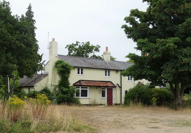
K6 telephone box and bus shelter, Cray's Pond
Bus shelter on the B4256, Cray's Pond
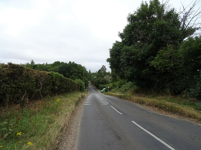
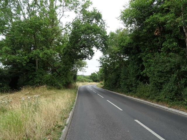
B4526, Cray's Pond
B4526, Cray's Pond
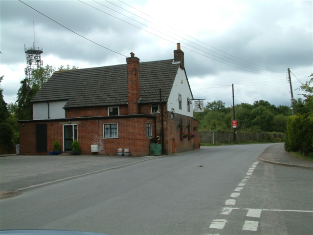
The White Lion, Cray's Pond Not currently open (2022).
See <a href="https://www.geograph.org.uk/photo/2829589">SU6380 : The White Lion, Crays Pond</a> for happier times.
The White Lion, Cray's Pond
Not currently open (2022). See SU6380 : The White Lion, Crays Pond for happier times.
Garage and car sales, Cray's Pond
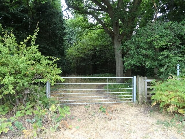
Gated track and footpath off Goring Road
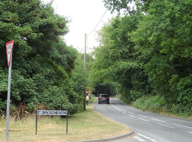
Goring Road The B471 towards Woodcote.
Goring Road
The B471 towards Woodcote.
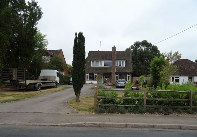
House on Goring Road
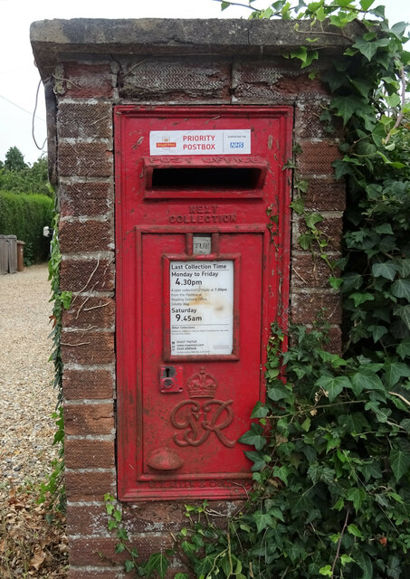
George VI postbox on Goring Road, Woodcote Postbox No. RG8 356.
George VI postbox on Goring Road, Woodcote
Postbox No. RG8 356.
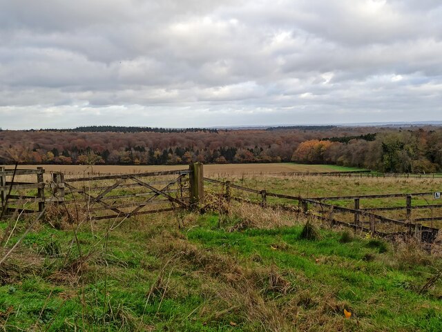
Greenmoor hill views
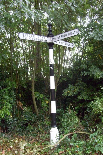
Direction Sign – Signpost on Hardwick Road, Whitchurch-on-Thames Located on the southwest side of the junction of Hardwick Road, Sheepwash Lane and a bridleway to Mapledurham, in Whitchurch-on-Thames parish. 3 arms and pawn finial. See also <a title="https://www.geograph.org.uk/photo/2182449" href="https://www.geograph.org.uk/photo/2182449">Link</a>.

Milestone Society National ID: OX_SU6577
Direction Sign – Signpost on Hardwick Road, Whitchurch-on-Thames
Located on the southwest side of the junction of Hardwick Road, Sheepwash Lane and a bridleway to Mapledurham, in Whitchurch-on-Thames parish. 3 arms and pawn finial. See also Link. Milestone Society National ID: OX_SU6577
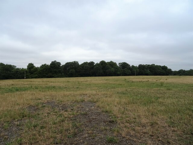
Grazing off the B471
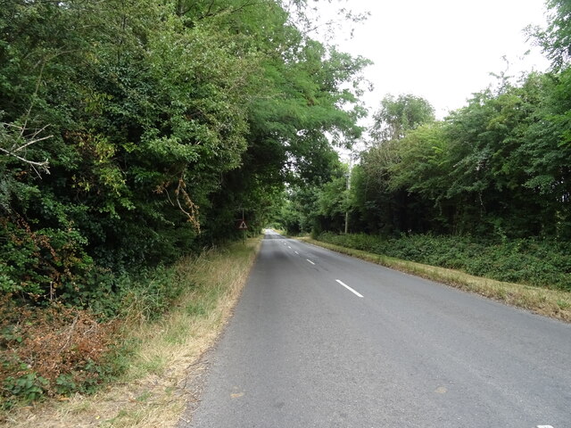
B471 heading north Towards Woodcote.
B471 heading north
Towards Woodcote.
 St John the Baptist Church, Whitchurch Hill
St John the Baptist Church, Whitchurch Hill
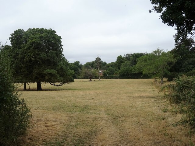
Grazing and woodland, Whitchurch Hill
B471, Whitchurch Hill Heading north towards Woodcote.
B471, Whitchurch Hill
Heading north towards Woodcote.
Elizabeth II postbox, Whitchurch Hill Postbox No. RG8 216.
Elizabeth II postbox, Whitchurch Hill
Postbox No. RG8 216.
Long Toll at the junction of the B4256
Show me another place!

Goring Heath is located at Grid Ref: SU6479 (Lat: 51.512147, Lng: -1.073609)

Administrative County: Oxfordshire

District: South Oxfordshire

Police Authority: Thames Valley

What 3 Words

///jars.snowboard.emerald. Near Pangbourne, Berkshire

Related Wikis

Whitchurch Hill

Whitchurch Hill is a village in the Chiltern Hills in Oxfordshire, about 5.5 miles (9 km) northwest of Reading, Berkshire, near Whitchurch-on-Thames. The...

The Oratory Preparatory School

The Oratory Prep School is a Roman Catholic day and boarding school for some 330 boys and girls aged from two to thirteen, founded in 1925. The school...

Crays Pond

Crays Pond is a hamlet situated in the parish of Goring Heath in South Oxfordshire. Crays Pond is about 2.4 miles (3.9 km) northeast of Goring-on-Thames...

Goring Rural District

Goring was a rural district in Oxfordshire, England from 1894 to 1932. It was formed from that part of the Bradfield rural sanitary district which was...

Goring Heath

Goring Heath is a hamlet and civil parish in the Chiltern Hills in South Oxfordshire. The civil parish includes the villages of Whitchurch Hill and Crays...

Langtree School

Langtree School is a coeducational secondary school located in the village of Woodcote in South Oxfordshire, England. The school has approximately 624...

Woodcote

Woodcote is a village and civil parish in South Oxfordshire, about 5 miles (8 km) southeast of Wallingford and about 7 miles (11 km) northwest of Reading...

Hardwick House, Oxfordshire

Hardwick House is a Tudor house on the banks of the River Thames on a slight rise at Whitchurch-on-Thames in the English county of Oxfordshire. It is reputed...

Nearby Amenities

Located within 500m of 51.512147,-1.073609
Bus Stop
The Sun Inn
Bus: yes
Naptan AtcoCode: 340000402SUN
Naptan Bearing: E
Naptan CommonName: The Sun Inn
Naptan Indicator: outside
Naptan Landmark: The Sun Inn
Naptan NaptanCode: oxfajwtp
Naptan Street: unclassified road
Naptan Verified: no
Public Transport: platform
Source: naptan_import
Lat/Long: 51.5087944/-1.0740301
The Sun PH
Naptan AtcoCode: 340000820SU
Naptan Bearing: W
Naptan BusStopType: CUS
Naptan CommonName: The Sun PH
Naptan Indicator: Opposite
Naptan Landmark: The Sun PH
Naptan NaptanCode: oxfgmadw
Naptan Street: Village Road
Naptan Verified: no
Source: naptan_import
Lat/Long: 51.5087155/-1.0739584
Fieldways Cottage
Naptan AtcoCode: 340003299OPP
Naptan Bearing: W
Naptan BusStopType: CUS
Naptan CommonName: Fieldways Cottage
Naptan Indicator: Opp Bus Shelter
Naptan Landmark: Bus Shelter
Naptan NaptanCode: oxfgmagd
Naptan Street: Village Road
Naptan Verified: no
Source: naptan_import
Lat/Long: 51.5082691/-1.0713423
Bus Stop
Fieldways Cottage
Bus: yes
Naptan AtcoCode: 340003299OUT
Naptan Bearing: E
Naptan CommonName: Fieldways Cottage
Naptan Indicator: o/s Bus Shelter
Naptan Landmark: Bus Shelter
Naptan NaptanCode: oxfgmaga
Naptan Street: Village Road
Naptan Verified: no
Public Transport: platform
Shelter: no
Source: naptan_import
Lat/Long: 51.5083489/-1.0713617
Barrier: kissing_gate
Foot: yes
Lat/Long: 51.5150709/-1.07794
Direction: 210
Generator Method: photovoltaic
Generator Output Electricity: yes
Generator Solar Modules: 16
Generator Source: solar
Generator Type: solar_photovoltaic_panel
Location: roof
Power: generator
Lat/Long: 51.5081924/-1.07687
Direction: 235
Generator Method: photovoltaic
Generator Output Electricity: yes
Generator Solar Modules: 16
Generator Source: solar
Generator Type: solar_photovoltaic_panel
Location: roof
Power: generator
Lat/Long: 51.5079402/-1.0759102
Direction: 210
Generator Method: photovoltaic
Generator Output Electricity: yes
Generator Solar Modules: 17
Generator Source: solar
Generator Type: solar_photovoltaic_panel
Location: roof
Power: generator
Lat/Long: 51.508902/-1.0771381
The data included in this document is from www.openstreetmap.org. The data is made available under ODbL.

Have you been to Goring Heath?

Leave your review of Goring Heath below (or comments, questions and feedback).