Common Covert

Wood, Forest in Oxfordshire South Oxfordshire

England

Common Covert

K6 telephone box and bus shelter, Cray's Pond
K6 telephone box and bus shelter, Cray's Pond Credit: JThomas

Common Covert is a picturesque woodland located in the county of Oxfordshire, England. Situated in the heart of the countryside, it covers an area of approximately 100 acres and is part of the larger Wychwood Forest. The woodland is characterized by its dense canopy of trees, creating a serene and peaceful atmosphere.

Common Covert is home to a diverse range of tree species, including oak, beech, and birch, which provide a rich habitat for various wildlife. The forest floor is covered in a carpet of moss, ferns, and wildflowers, adding to its natural beauty.

The woodland is crisscrossed by a network of well-maintained footpaths, allowing visitors to explore and enjoy the tranquil surroundings. These paths wind their way through the forest, offering glimpses of small streams and ponds, which are home to a variety of aquatic plants and animals.

Common Covert is a popular destination for nature lovers, walkers, and birdwatchers. The woodland is teeming with wildlife, with sightings of deer, foxes, rabbits, and a wide range of bird species being common. Bird enthusiasts can spot woodpeckers, owls, and various songbirds among the treetops.

The forest is managed by the local authorities, who actively work to preserve its natural beauty and protect its inhabitants. They maintain the footpaths, conduct regular surveys of the flora and fauna, and implement conservation measures to ensure the sustainability of this precious woodland.

Common Covert offers a peaceful retreat from the hustle and bustle of everyday life, providing visitors with an opportunity to connect with nature and appreciate the beauty of the British countryside.

If you have any feedback on the listing, please let us know in the comments section below.

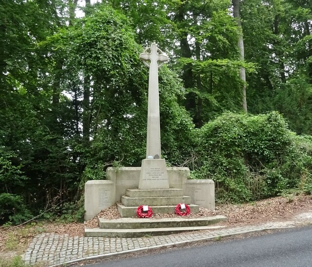
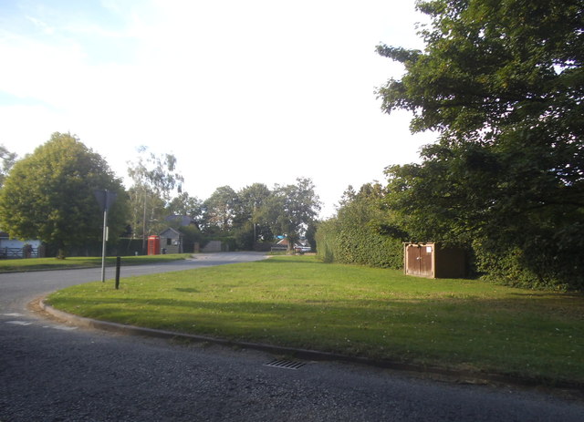
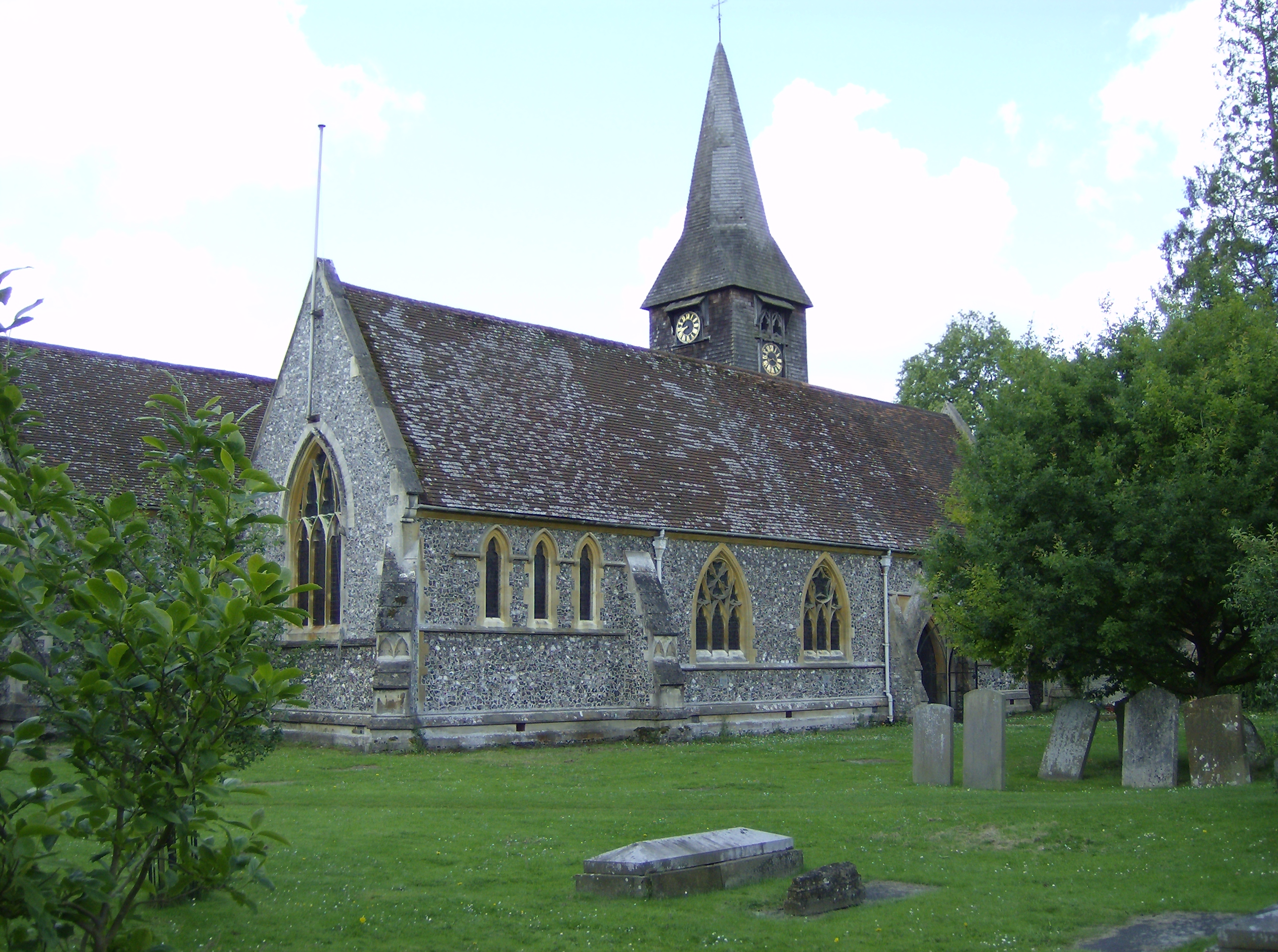
Common Covert Images

Images are sourced within 2km of 51.508416/-1.0786578 or Grid Reference SU6479. Thanks to Geograph Open Source API. All images are credited.

K6 telephone box and bus shelter, Cray's Pond
Bus shelter on the B4256, Cray's Pond
B4526, Cray's Pond
B4526, Cray's Pond
The White Lion, Cray's Pond Not currently open (2022).
See <a href="https://www.geograph.org.uk/photo/2829589">SU6380 : The White Lion, Crays Pond</a> for happier times.
The White Lion, Cray's Pond
Not currently open (2022). See SU6380 : The White Lion, Crays Pond for happier times.
Garage and car sales, Cray's Pond
Goring Road The B471 towards Woodcote.
Goring Road
The B471 towards Woodcote.
Direction Sign – Signpost on Hardwick Road, Whitchurch-on-Thames Located on the southwest side of the junction of Hardwick Road, Sheepwash Lane and a bridleway to Mapledurham, in Whitchurch-on-Thames parish. 3 arms and pawn finial. See also <a title="https://www.geograph.org.uk/photo/2182449" href="https://www.geograph.org.uk/photo/2182449">Link</a>.

Milestone Society National ID: OX_SU6577
Direction Sign – Signpost on Hardwick Road, Whitchurch-on-Thames
Located on the southwest side of the junction of Hardwick Road, Sheepwash Lane and a bridleway to Mapledurham, in Whitchurch-on-Thames parish. 3 arms and pawn finial. See also Link. Milestone Society National ID: OX_SU6577
Muddy Lane, Whitchurch-on-Thames No doubt a local name that has been officially adopted, Muddy Lane seems appropriate following a period of heavy rainfall.
Muddy Lane, Whitchurch-on-Thames
No doubt a local name that has been officially adopted, Muddy Lane seems appropriate following a period of heavy rainfall.
Coombeside Cottage, Whitchurch-on-Thames Somehow reminiscent of a doll's house, this building, originally two cottages now one, is dated by Historic England as 'probably late 18th century' although other sources suggest 1820. The gothic-style windows are a distinctive feature although the one above the doors has been painted on the wall. At one time one of the cottages served as the village post office. It is grade II listed.
Coombeside Cottage, Whitchurch-on-Thames
Somehow reminiscent of a doll's house, this building, originally two cottages now one, is dated by Historic England as 'probably late 18th century' although other sources suggest 1820. The gothic-style windows are a distinctive feature although the one above the doors has been painted on the wall. At one time one of the cottages served as the village post office. It is grade II listed.
War Memorial, Whitchurch-on-Thames
Grazing off the B471
B471 heading north Towards Woodcote.
B471 heading north
Towards Woodcote.
 St John the Baptist Church, Whitchurch Hill
St John the Baptist Church, Whitchurch Hill
Grazing and woodland, Whitchurch Hill
B471, Whitchurch Hill Heading north towards Woodcote.
B471, Whitchurch Hill
Heading north towards Woodcote.
Elizabeth II postbox, Whitchurch Hill Postbox No. RG8 216.
Elizabeth II postbox, Whitchurch Hill
Postbox No. RG8 216.
Long Toll at the junction of the B4256
Goring Road from the B4526
Show me another place!

Common Covert is located at Grid Ref: SU6479 (Lat: 51.508416, Lng: -1.0786578)

Administrative County: Oxfordshire

District: South Oxfordshire

Police Authority: Thames Valley

What 3 Words

///shine.crucially.toffee. Near Pangbourne, Berkshire

Related Wikis

Whitchurch Hill

Whitchurch Hill is a village in the Chiltern Hills in Oxfordshire, about 5.5 miles (9 km) northwest of Reading, Berkshire, near Whitchurch-on-Thames. The...

The Oratory Preparatory School

The Oratory Prep School is a Roman Catholic day and boarding school for some 330 boys and girls aged from two to thirteen, founded in 1925. The school...

Goring Rural District

Goring was a rural district in Oxfordshire, England from 1894 to 1932. It was formed from that part of the Bradfield rural sanitary district which was...

Crays Pond

Crays Pond is a hamlet situated in the parish of Goring Heath in South Oxfordshire. Crays Pond is about 2.4 miles (3.9 km) northeast of Goring-on-Thames...

Goring Heath

Goring Heath is a hamlet and civil parish in the Chiltern Hills in South Oxfordshire. The civil parish includes the villages of Whitchurch Hill and Crays...

Whitchurch-on-Thames

Whitchurch-on-Thames is a village and civil parish on the Oxfordshire bank of the River Thames, about 5.5 miles (9 km) northwest of Reading, Berkshire...

Hartslock

Hartslock, also known as Hartslock Woods, is a 41.8-hectare (103-acre) biological Site of Special Scientific Interest (SSSI) in a wooded area on the north...

Beale Wildlife Park

Beale Wildlife Park is situated by the River Thames, between the villages of Pangbourne and Lower Basildon in Berkshire, England. It has three main areas...

Nearby Amenities

Located within 500m of 51.508416,-1.0786578
Whitchurch Hill
Place: village
Wikidata: Q7994201
Wikipedia: en:Whitchurch Hill
Lat/Long: 51.5072399/-1.077644
Bus Stop
The Sun Inn
Bus: yes
Naptan AtcoCode: 340000402SUN
Naptan Bearing: E
Naptan CommonName: The Sun Inn
Naptan Indicator: outside
Naptan Landmark: The Sun Inn
Naptan NaptanCode: oxfajwtp
Naptan Street: unclassified road
Naptan Verified: no
Public Transport: platform
Source: naptan_import
Lat/Long: 51.5087944/-1.0740301
Bus Stop
Oakdown Close
Bus: yes
Naptan AtcoCode: 340000820CHU
Naptan Bearing: SW
Naptan CommonName: Oakdown Close
Naptan Indicator: Opposite
Naptan Landmark: Oakdown Close
Naptan NaptanCode: oxfapamw
Naptan Street: Village Road
Naptan Verified: no
Public Transport: platform
Source: naptan_import
Lat/Long: 51.5066117/-1.0756909
Oakdown Close
Naptan AtcoCode: 340000820DAR
Naptan Bearing: NE
Naptan BusStopType: CUS
Naptan CommonName: Oakdown Close
Naptan Indicator: Corner
Naptan Landmark: Oakdown Close
Naptan NaptanCode: oxfgmadt
Naptan Street: Village Road
Naptan Verified: no
Source: naptan_import
Lat/Long: 51.5067369/-1.0756019
The Sun PH
Naptan AtcoCode: 340000820SU
Naptan Bearing: W
Naptan BusStopType: CUS
Naptan CommonName: The Sun PH
Naptan Indicator: Opposite
Naptan Landmark: The Sun PH
Naptan NaptanCode: oxfgmadw
Naptan Street: Village Road
Naptan Verified: no
Source: naptan_import
Lat/Long: 51.5087155/-1.0739584
Bus Stop
Orchard Combe
Bus: yes
Naptan AtcoCode: 340001609BF
Naptan Bearing: SW
Naptan CommonName: Orchard Combe
Naptan Indicator: Opposite
Naptan Landmark: Bus Shelter
Naptan NaptanCode: oxfgdwjp
Naptan Street: Village Road
Naptan Verified: no
Public Transport: platform
Shelter: no
Source: naptan_import
Lat/Long: 51.5048771/-1.0799748
Orchard Combe
Naptan AtcoCode: 340001609CNR
Naptan Bearing: NE
Naptan BusStopType: CUS
Naptan CommonName: Orchard Combe
Naptan Indicator: Corner
Naptan Landmark: Bus Shelter
Naptan NaptanCode: oxfgmadp
Naptan Street: Village Road
Naptan Verified: no
Source: naptan_import
Lat/Long: 51.5048934/-1.0801635
Public Building
Goring Heath Parish Hall
Lat/Long: 51.5053114/-1.083222
Direction: 205
Generator Method: photovoltaic
Generator Output Electricity: yes
Generator Solar Modules: 14
Generator Source: solar
Generator Type: solar_photovoltaic_panel
Location: roof
Power: generator
Lat/Long: 51.5069573/-1.0786881
Direction: 210
Generator Method: photovoltaic
Generator Output Electricity: yes
Generator Solar Modules: 16
Generator Source: solar
Generator Type: solar_photovoltaic_panel
Location: roof
Power: generator
Lat/Long: 51.5081924/-1.07687
Direction: 240
Generator Method: photovoltaic
Generator Output Electricity: yes
Generator Solar Modules: 15
Generator Source: solar
Generator Type: solar_photovoltaic_panel
Location: roof
Power: generator
Lat/Long: 51.5077763/-1.0764463
Direction: 235
Generator Method: photovoltaic
Generator Output Electricity: yes
Generator Solar Modules: 16
Generator Source: solar
Generator Type: solar_photovoltaic_panel
Location: roof
Power: generator
Lat/Long: 51.5079402/-1.0759102
Direction: 235
Generator Method: photovoltaic
Generator Output Electricity: yes
Generator Solar Modules: 21
Generator Source: solar
Generator Type: solar_photovoltaic_panel
Location: roof
Power: generator
Lat/Long: 51.5078704/-1.0761006
Direction: 210
Generator Method: photovoltaic
Generator Output Electricity: yes
Generator Solar Modules: 17
Generator Source: solar
Generator Type: solar_photovoltaic_panel
Location: roof
Power: generator
Lat/Long: 51.508902/-1.0771381
The data included in this document is from www.openstreetmap.org. The data is made available under ODbL.

Have you been to Common Covert?

Leave your review of Common Covert below (or comments, questions and feedback).