Oaken Copse
Wood, Forest in Oxfordshire South Oxfordshire
England
Oaken Copse
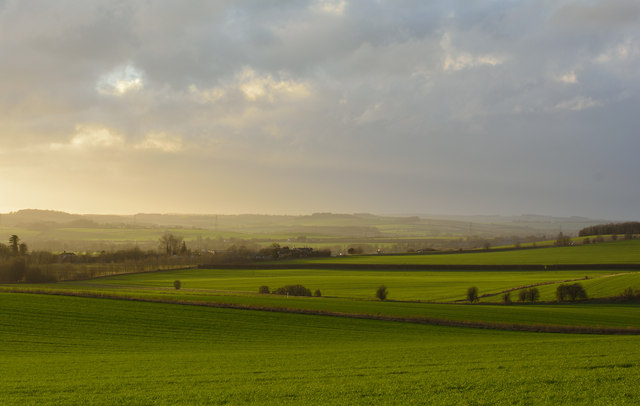
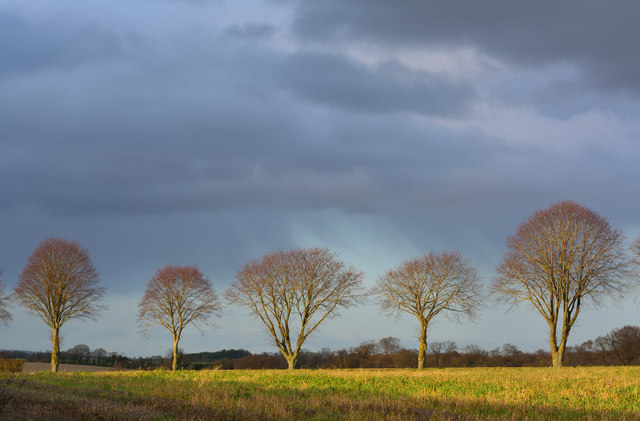
Oaken Copse, located in Oxfordshire, England, is a picturesque woodland area renowned for its natural beauty and diverse ecosystem. Spanning over an expansive area, the copse is a haven for nature enthusiasts and is often visited by locals and tourists alike.
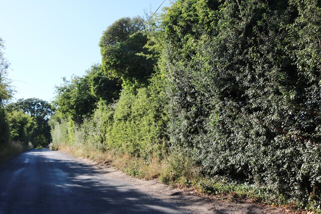
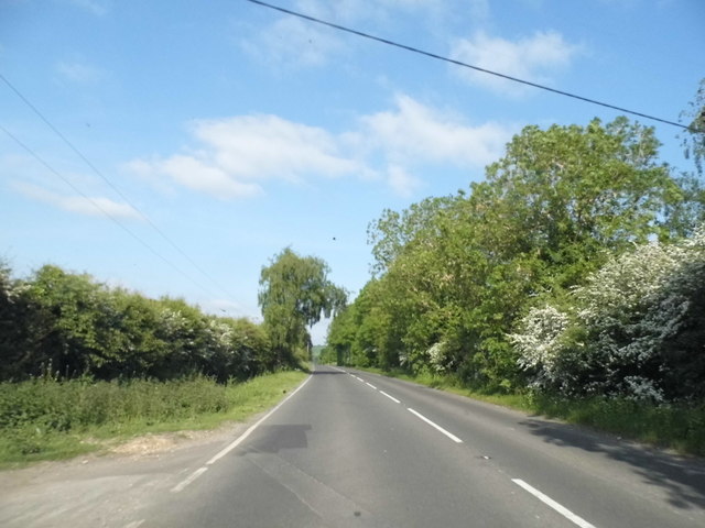
The copse is characterized by its dense canopy of oak trees, which provide a stunning display of vibrant green foliage during the spring and summer months. The tall and majestic oak trees create a serene and tranquil atmosphere, making it a perfect spot for relaxation and peaceful walks.
Within Oaken Copse, there is a myriad of flora and fauna. The forest floor is covered in a lush carpet of wildflowers, including bluebells and primroses, adding a burst of color to the landscape. The copse is also home to a variety of wildlife, including deer, foxes, squirrels, and a wide range of bird species. Birdwatchers can often spot species like woodpeckers, owls, and various songbirds throughout the area.
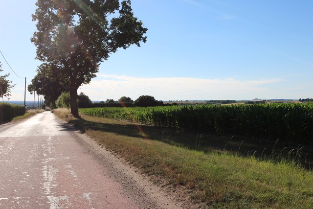
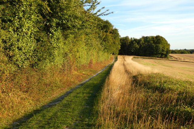
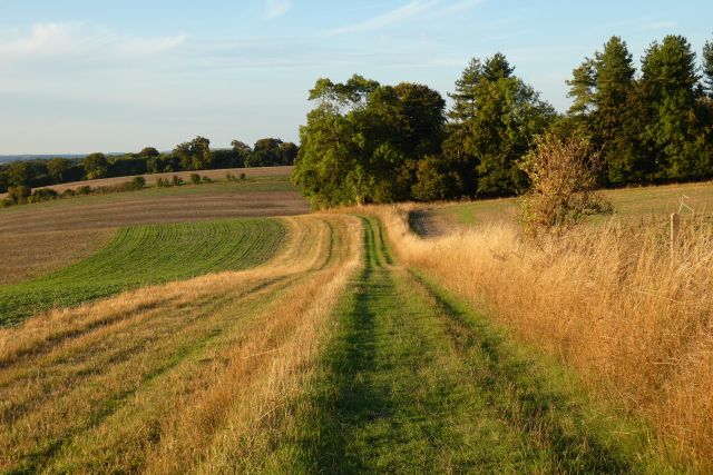
The copse is intersected by a network of well-maintained walking trails, allowing visitors to explore the woodland at their own pace. These paths wind through the forest, taking visitors past babbling brooks, small ponds, and hidden clearings, further enhancing the enchanting ambiance of the copse.
With its natural beauty, abundant wildlife, and peaceful ambiance, Oaken Copse is a true gem of Oxfordshire. Whether it's a leisurely stroll, birdwatching, or simply appreciating the wonders of nature, this woodland oasis offers visitors a truly immersive and captivating experience.
If you have any feedback on the listing, please let us know in the comments section below.
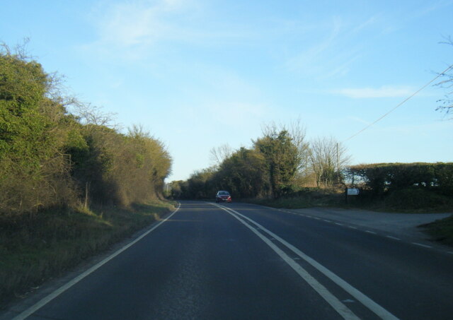
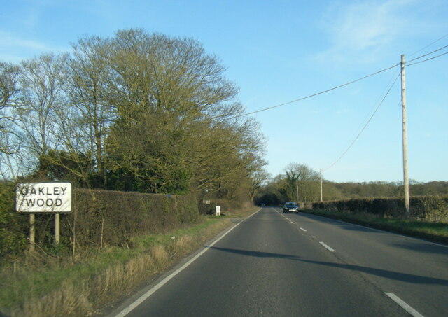
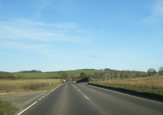
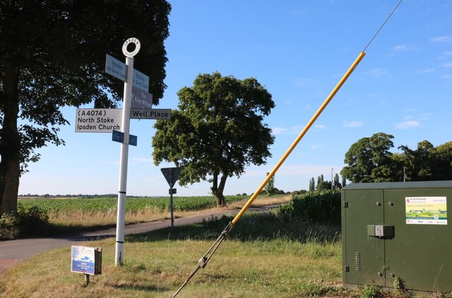
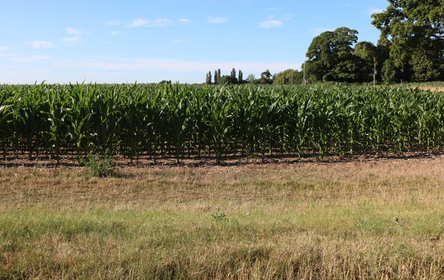
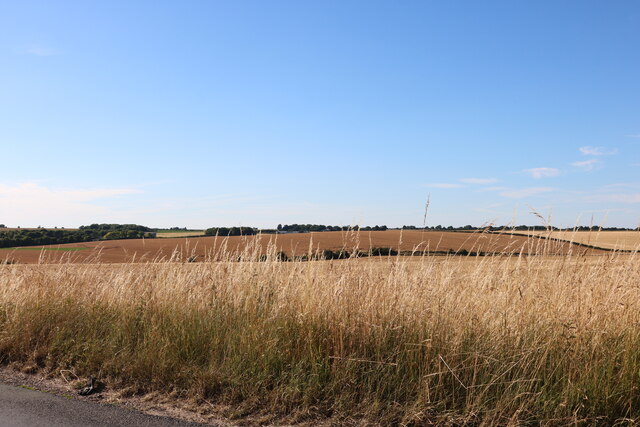
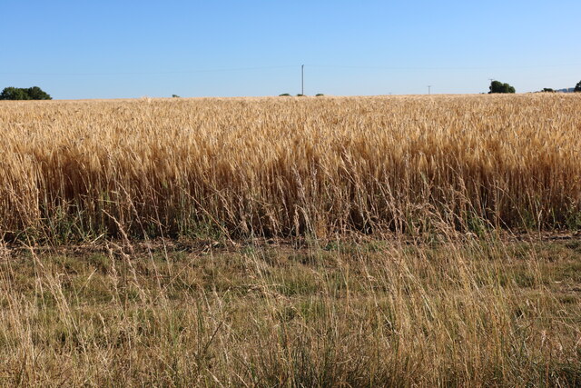
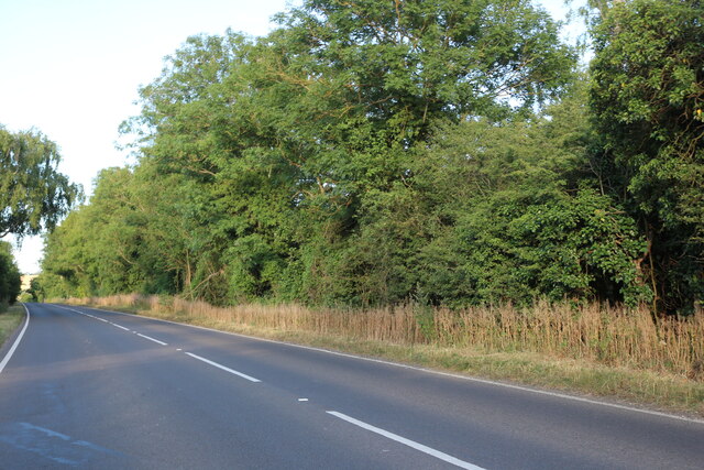
Oaken Copse Images
Images are sourced within 2km of 51.581686/-1.0771194 or Grid Reference SU6487. Thanks to Geograph Open Source API. All images are credited.

Oaken Copse is located at Grid Ref: SU6487 (Lat: 51.581686, Lng: -1.0771194)
Administrative County: Oxfordshire
District: South Oxfordshire
Police Authority: Thames Valley
What 3 Words
///chum.unsightly.investors. Near Wallingford, Oxfordshire
Nearby Locations
Related Wikis

A4130 road
The A4130 is a British A road which runs from a junction with the A404 at Burchetts Green (Maidenhead), Berkshire to the A417 at Rowstock in Oxfordshire...

Crowmarsh
Crowmarsh is a fairly large, mostly rural civil parish in the South Oxfordshire, district, in the county of Oxfordshire, England, east and southeast of...

Ipsden
Ipsden is a village and civil parish in the Chiltern Hills in South Oxfordshire, about 3 miles (5 km) southeast of Wallingford. It is almost equidistant...

Warren Bank
Warren Bank is a 3.1-hectare (7.7-acre) biological Site of Special Scientific Interest south-east of Wallingford in Oxfordshire. It is managed by the Berkshire...

Crowmarsh Rural District
Crowmarsh was a rural district in Oxfordshire, England from 1894 to 1932. It was created under the Local Government Act 1894 from the part of the Wallingford...

Nuffield, Oxfordshire
Nuffield is a village and civil parish in the Chiltern Hills in South Oxfordshire, England, just over 4 miles (6 km) east of Wallingford. The 2011 Census...
Mongewell
Mongewell (first syllable rhymes with sponge) is a village in the civil parish of Crowmarsh, about 1 mile (1.6 km) south of Wallingford in Oxfordshire...

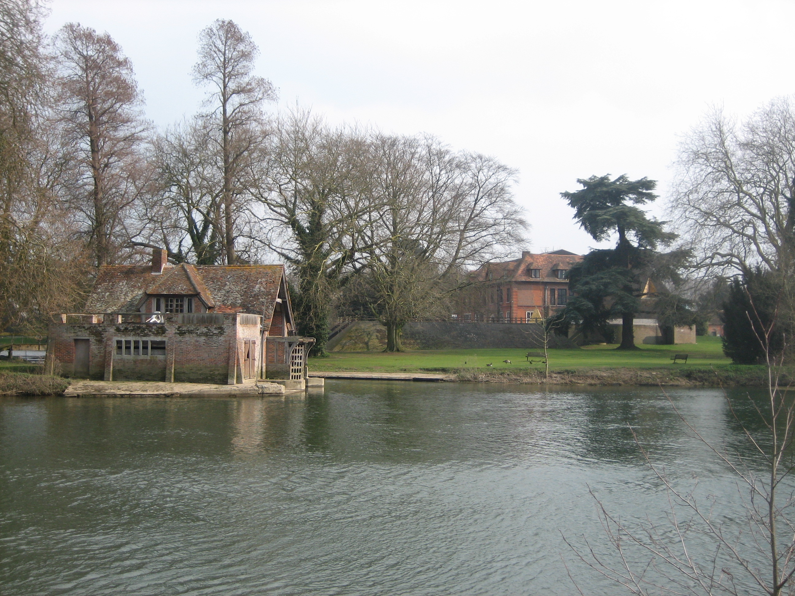
Braziers Park
Braziers Park is a Grade II* country house and estate on the edge of Ipsden - a small village near Wallingford, Oxfordshire, England - housing a secular...
Nearby Amenities
Located within 500m of 51.581686,-1.0771194Have you been to Oaken Copse?
Leave your review of Oaken Copse below (or comments, questions and feedback).