Grim's Ditch
Heritage Site in Oxfordshire South Oxfordshire
England
Grim's Ditch
Grim's Ditch, located in Oxfordshire, England, is a significant heritage site that has captivated archaeologists and historians for centuries. Believed to date back to the Iron Age, this earthwork consists of a series of linear ditches and banks that stretch over 20 miles across the landscape.
The ditch, also known as Grim's Dyke or Grimsbury Castle, is an impressive feat of engineering. It is estimated to be around 2,500 years old and is thought to have served as a defensive boundary or territorial marker. The ditch runs through various types of terrain, including hills, valleys, and woodlands, showcasing the ingenuity and strategic placement of its creators.
The earthwork itself is approximately 20 feet wide and up to 9 feet deep, with accompanying banks on either side. The construction of the ditch would have required immense manual labor and tools such as shovels and picks. The purpose of the ditch is still debated among experts, with theories ranging from a defensive fortification to a symbolic boundary marking tribal territories.
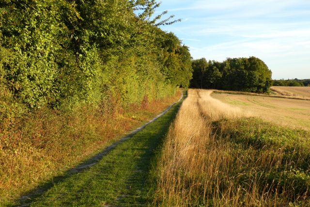
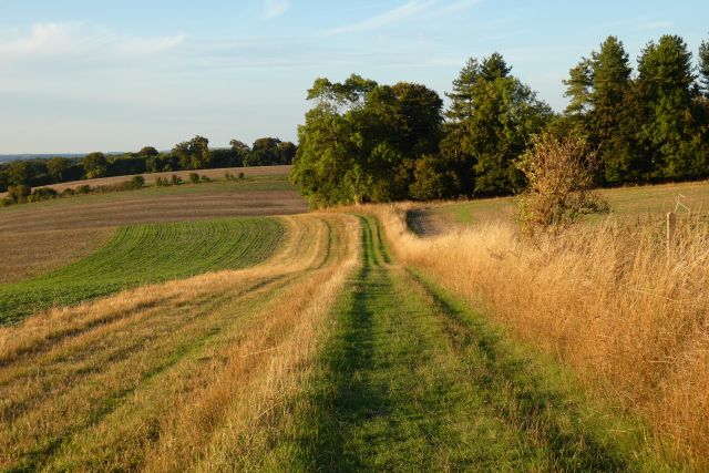
Grim's Ditch is not only historically significant but also ecologically important. The site is home to a diverse range of flora and fauna, including rare species of wildflowers and insects. It provides a unique habitat for various wildlife and contributes to the biodiversity of the region.
Today, Grim's Ditch is a popular destination for hikers, nature enthusiasts, and history buffs alike. Its mysterious origins and stunning natural surroundings continue to draw visitors, who can explore sections of the earthwork and appreciate the remarkable craftsmanship and historical significance of this ancient structure.
If you have any feedback on the listing, please let us know in the comments section below.
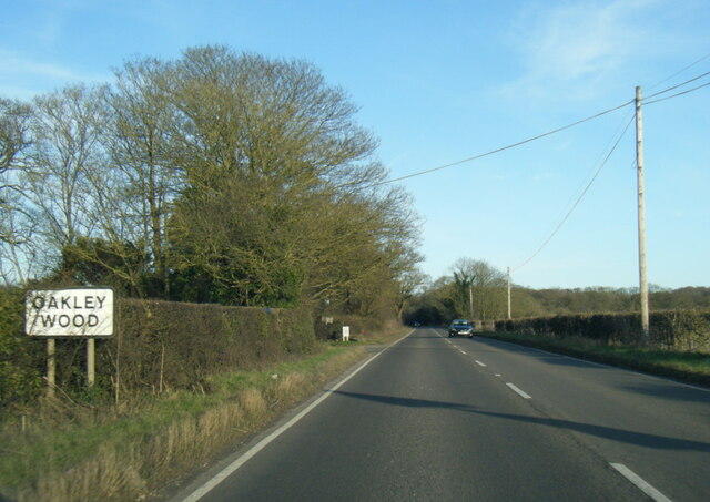
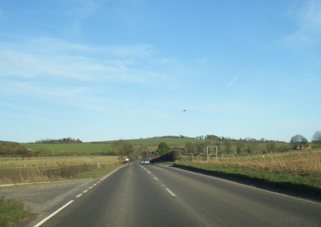
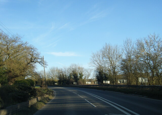
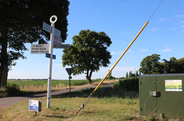
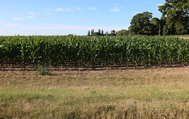
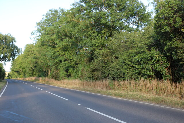
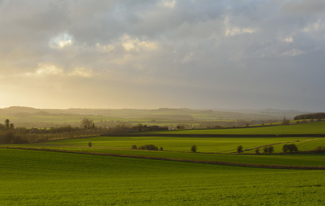
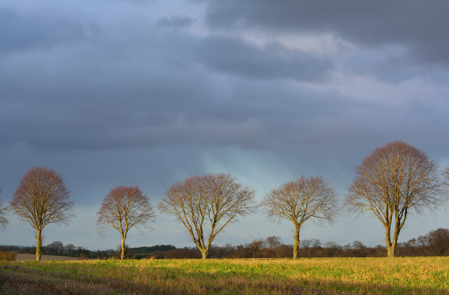
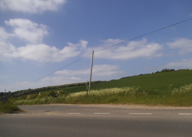
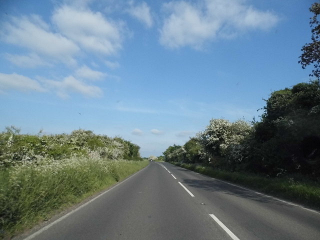
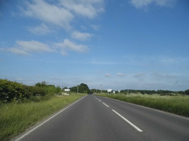
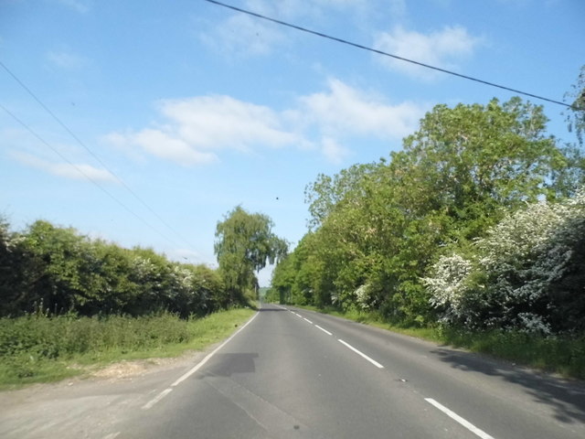
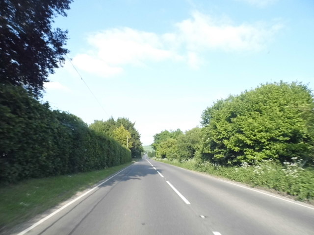
Grim's Ditch Images
Images are sourced within 2km of 51.582/-1.068 or Grid Reference SU6487. Thanks to Geograph Open Source API. All images are credited.


Grim's Ditch is located at Grid Ref: SU6487 (Lat: 51.582, Lng: -1.068)
Administrative County: Oxfordshire
District: South Oxfordshire
Police Authority: Thames Valley
What 3 Words
///inviting.cover.processes. Near Wallingford, Oxfordshire
Nearby Locations
Related Wikis

A4130 road
The A4130 is a British A road which runs from a junction with the A404 at Burchetts Green (Maidenhead), Berkshire to the A417 at Rowstock in Oxfordshire...

Warren Bank
Warren Bank is a 3.1-hectare (7.7-acre) biological Site of Special Scientific Interest south-east of Wallingford in Oxfordshire. It is managed by the Berkshire...

Ipsden
Ipsden is a village and civil parish in the Chiltern Hills in South Oxfordshire, about 3 miles (5 km) southeast of Wallingford. It is almost equidistant...

Nuffield, Oxfordshire
Nuffield is a village and civil parish in the Chiltern Hills in South Oxfordshire, England, just over 4 miles (6 km) east of Wallingford. The 2011 Census...

Crowmarsh
Crowmarsh is a fairly large, mostly rural civil parish in the South Oxfordshire, district, in the county of Oxfordshire, England, east and southeast of...
Ipsden Heath
Ipsden Heath is a 32-acre (13-hectare) woodland in the English county of Oxfordshire, within the Chiltern Area of Outstanding Natural Beauty. == References ==

Crowmarsh Rural District
Crowmarsh was a rural district in Oxfordshire, England from 1894 to 1932. It was created under the Local Government Act 1894 from the part of the Wallingford...

Braziers Park
Braziers Park is a Grade II* country house and estate on the edge of Ipsden - a small village near Wallingford, Oxfordshire, England - housing a secular...
Nearby Amenities
Located within 500m of 51.582,-1.068Have you been to Grim's Ditch?
Leave your review of Grim's Ditch below (or comments, questions and feedback).