Bachelor's Hill
Hill, Mountain in Oxfordshire South Oxfordshire
England
Bachelor's Hill
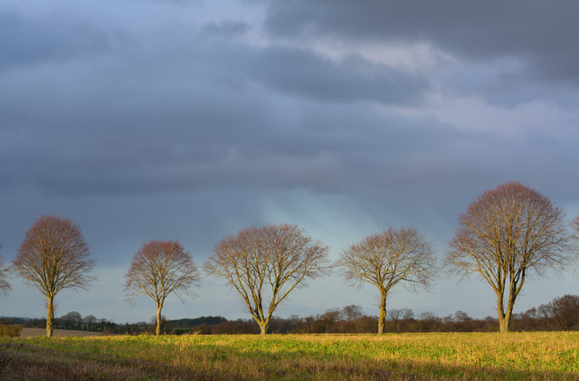
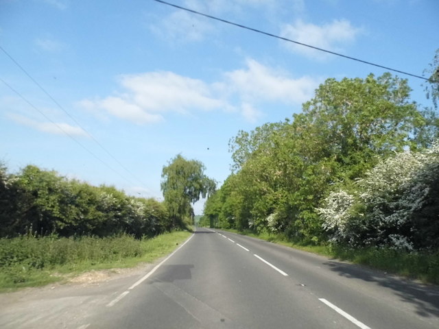
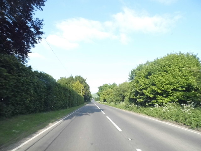
Bachelor's Hill is a prominent hill located in Oxfordshire, England. Situated in the picturesque countryside, it offers breathtaking views of the surrounding landscape. The hill is part of the Chiltern Hills, a designated Area of Outstanding Natural Beauty.
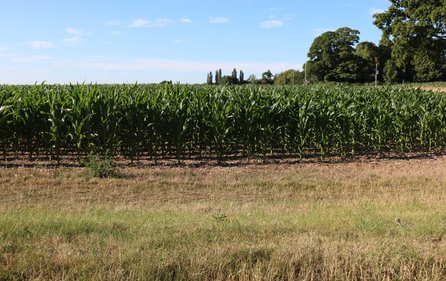
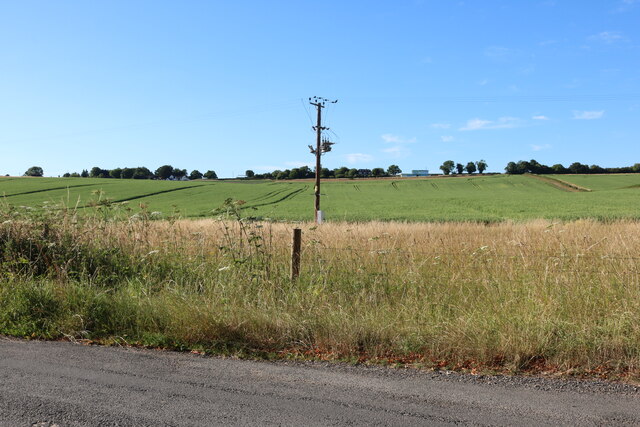
Rising to an elevation of approximately 250 meters (820 feet), Bachelor's Hill is a popular destination for outdoor enthusiasts and nature lovers. The hill features a well-maintained trail that allows visitors to explore its diverse flora and fauna. The trail is suitable for both leisurely walks and more challenging hikes, catering to a range of fitness levels.
The hill derives its name from an old folklore tale that suggests it was once a meeting place for young bachelors seeking companionship. While the origins of this legend are uncertain, it adds to the charm and intrigue of the location.
On a clear day, visitors can enjoy panoramic views from the summit, capturing the beauty of the rolling hills and lush valleys below. The hill also provides a vantage point to observe the local wildlife, including deer, foxes, and various bird species.
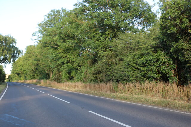
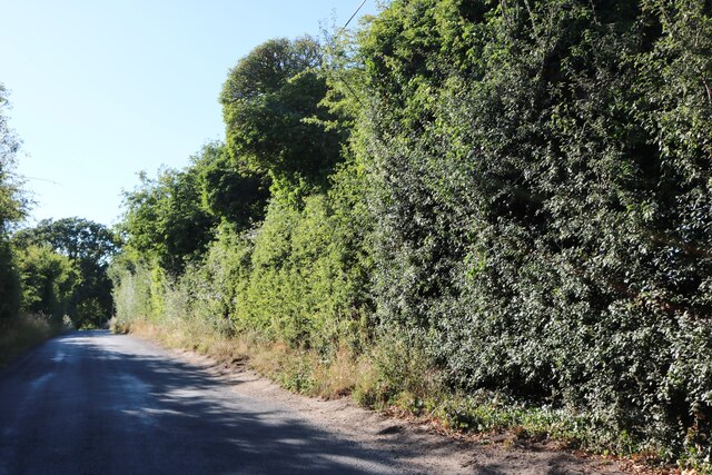
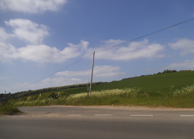
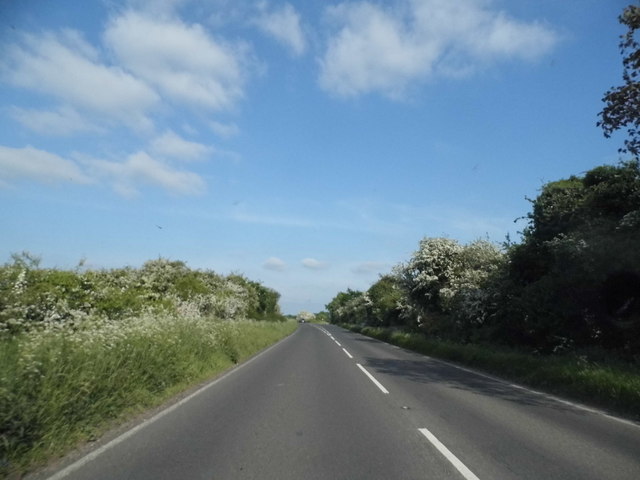
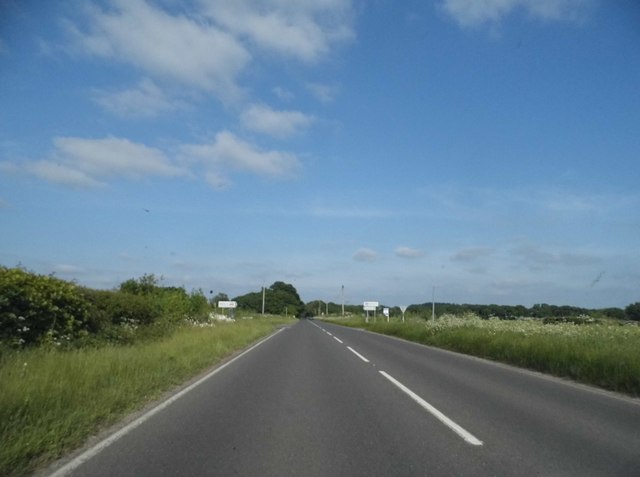
Bachelor's Hill is easily accessible by road, with ample parking available nearby. It is a popular spot for picnics, photography, and simply immersing oneself in the tranquility of nature. Whether it's a peaceful stroll or an adventurous hike, Bachelor's Hill offers a delightful escape from the hustle and bustle of everyday life.
If you have any feedback on the listing, please let us know in the comments section below.
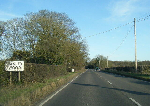
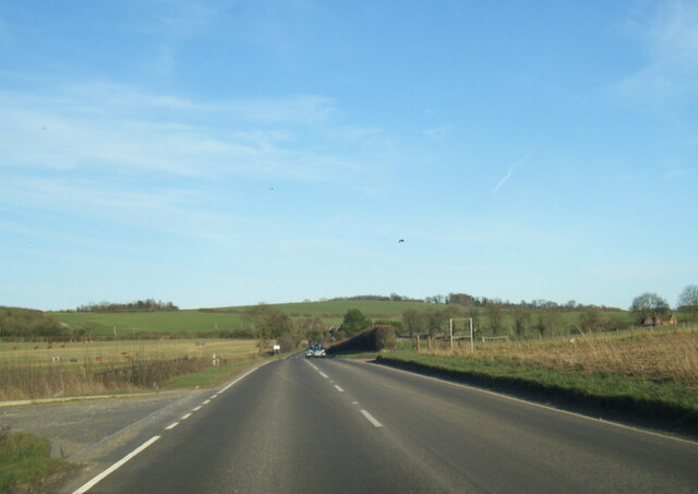
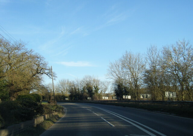
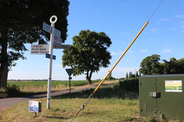
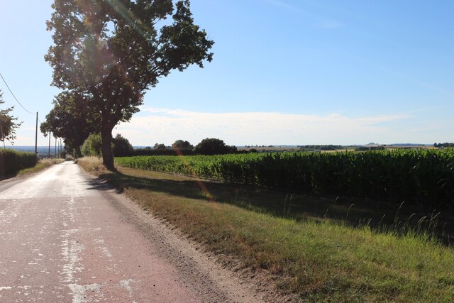
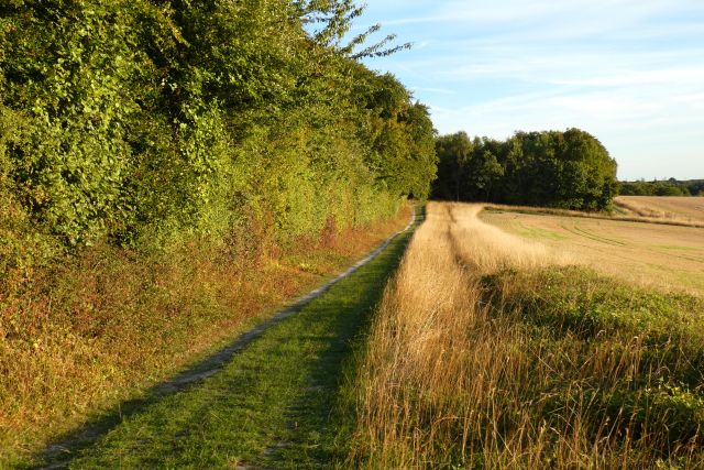
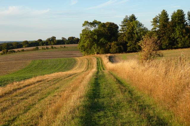
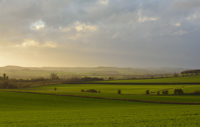
Bachelor's Hill Images
Images are sourced within 2km of 51.579778/-1.0666806 or Grid Reference SU6487. Thanks to Geograph Open Source API. All images are credited.
Bachelor's Hill is located at Grid Ref: SU6487 (Lat: 51.579778, Lng: -1.0666806)
Administrative County: Oxfordshire
District: South Oxfordshire
Police Authority: Thames Valley
What 3 Words
///crouch.than.unrated. Near Wallingford, Oxfordshire
Nearby Locations
Related Wikis

A4130 road
The A4130 is a British A road which runs from a junction with the A404 at Burchetts Green (Maidenhead), Berkshire to the A417 at Rowstock in Oxfordshire...

Warren Bank
Warren Bank is a 3.1-hectare (7.7-acre) biological Site of Special Scientific Interest south-east of Wallingford in Oxfordshire. It is managed by the Berkshire...

Ipsden
Ipsden is a village and civil parish in the Chiltern Hills in South Oxfordshire, about 3 miles (5 km) southeast of Wallingford. It is almost equidistant...

Nuffield, Oxfordshire
Nuffield is a village and civil parish in the Chiltern Hills in South Oxfordshire, England, just over 4 miles (6 km) east of Wallingford. The 2011 Census...

Crowmarsh
Crowmarsh is a fairly large, mostly rural civil parish in the South Oxfordshire, district, in the county of Oxfordshire, England, east and southeast of...
Ipsden Heath
Ipsden Heath is a 32-acre (13-hectare) woodland in the English county of Oxfordshire, within the Chiltern Area of Outstanding Natural Beauty. == References ==

Braziers Park
Braziers Park is a Grade II* country house and estate on the edge of Ipsden - a small village near Wallingford, Oxfordshire, England - housing a secular...
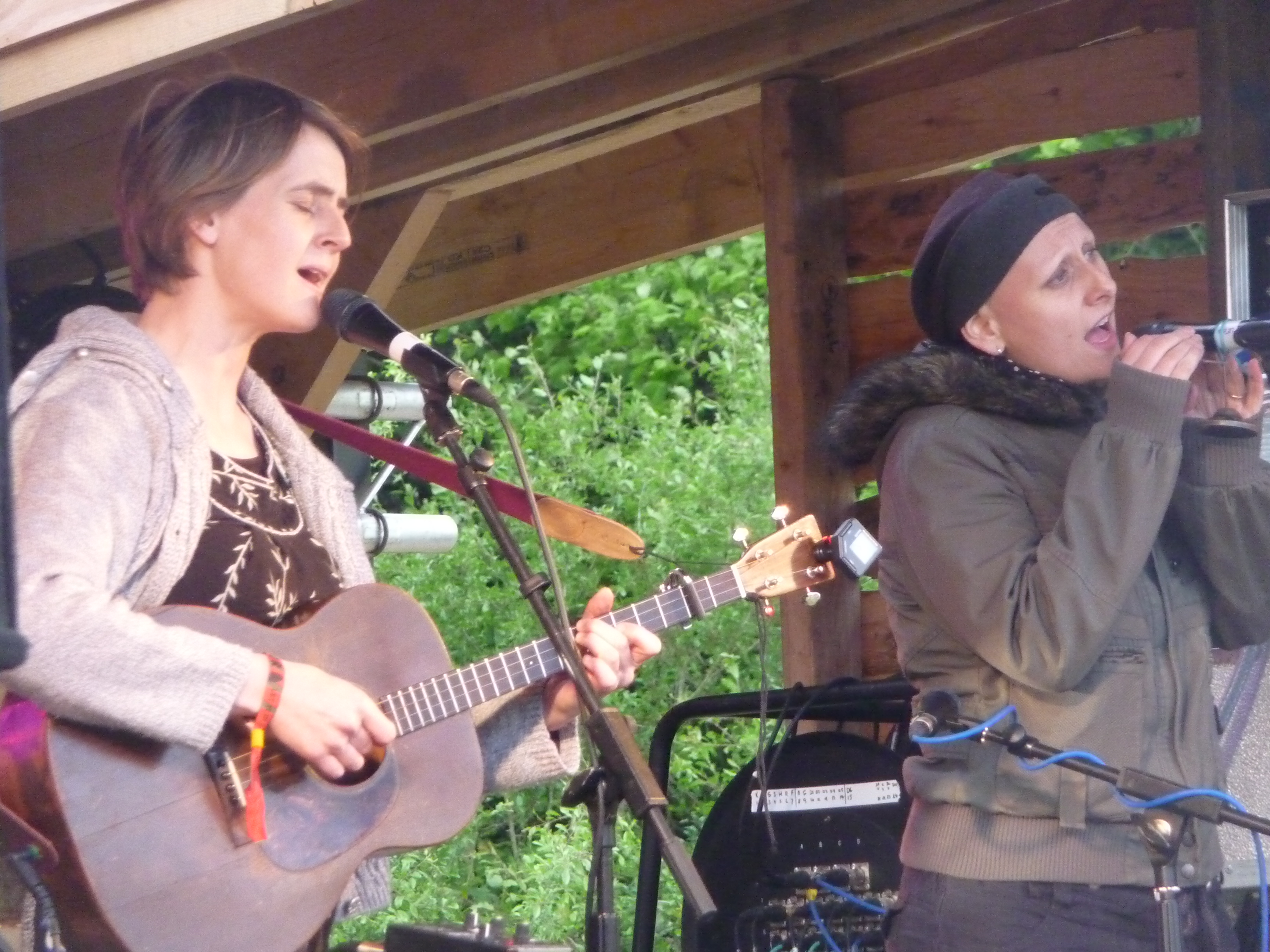
Wood (festival)
Wood is an annual small early summer folk and roots music festival and environmental gathering, which takes place in Braziers Park, Ipsden near Wallingford...
Nearby Amenities
Located within 500m of 51.579778,-1.0666806Have you been to Bachelor's Hill?
Leave your review of Bachelor's Hill below (or comments, questions and feedback).