Bunkers Hill
Hill, Mountain in Hampshire Winchester
England
Bunkers Hill

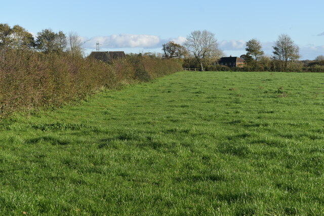
Bunkers Hill is a prominent hill located in the southern region of Hampshire, England. It is situated near the village of Little Baddow, approximately 5 miles northeast of the city of Chelmsford. With an elevation of around 98 meters (322 feet), Bunkers Hill stands as a notable landmark in the area.
The hill itself is characterized by its gentle slopes and lush greenery, offering picturesque views of the surrounding countryside. Its name, "Bunkers Hill," is believed to have originated from the presence of ancient burial mounds or barrows that were once found on its slopes. These barrows were likely used for burials during the Bronze Age, further adding to the historical significance of the area.
Today, Bunkers Hill remains a popular destination for outdoor enthusiasts and nature lovers. The hill is accessible via a network of footpaths and trails, providing opportunities for hiking, walking, and exploring the scenic countryside. Its elevated position also makes it an ideal spot for panoramic views of the surrounding landscape, making it a favorite spot for photographers and artists alike.
In addition to its natural beauty, Bunkers Hill offers visitors a glimpse into the region's rich history. The presence of ancient barrows and the surrounding archaeological sites make it a site of interest for historians and archaeologists, who continue to study and uncover the secrets of this historic hill.
Overall, Bunkers Hill in Hampshire is a captivating location that combines natural beauty with historical significance, offering a unique experience for those who visit.
If you have any feedback on the listing, please let us know in the comments section below.
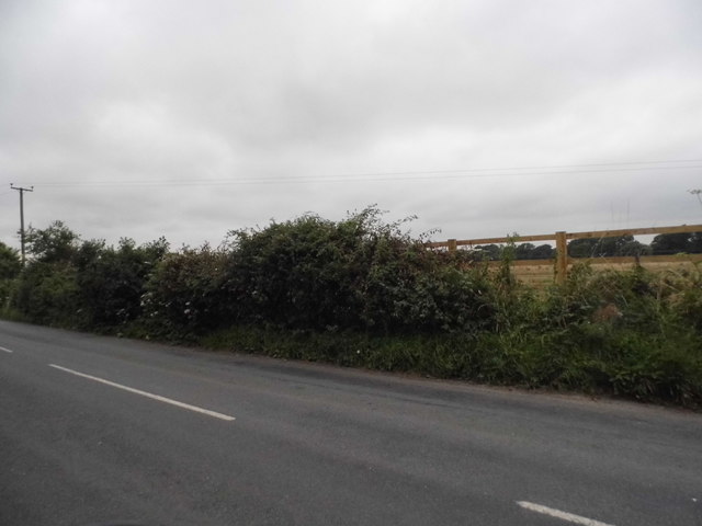
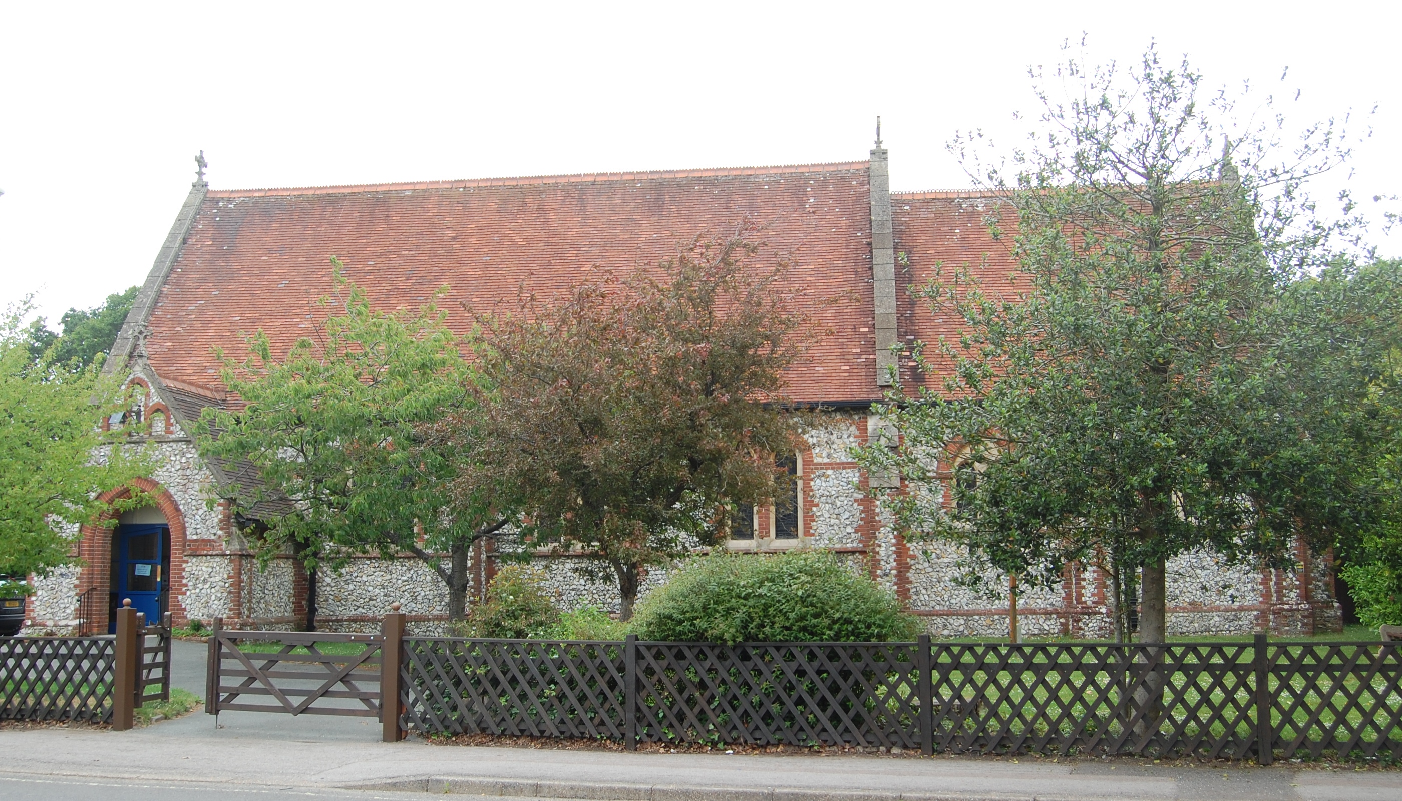
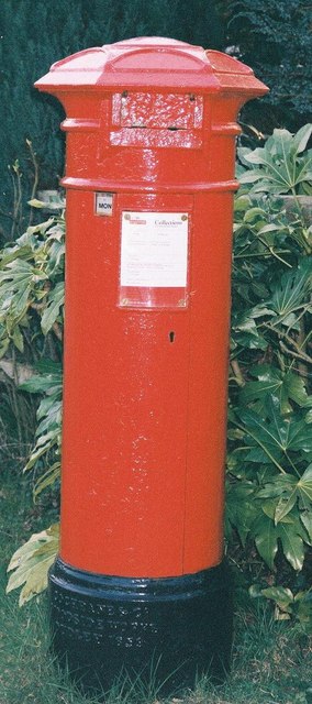
Bunkers Hill Images
Images are sourced within 2km of 50.901152/-1.0803387 or Grid Reference SU6411. Thanks to Geograph Open Source API. All images are credited.


Bunkers Hill is located at Grid Ref: SU6411 (Lat: 50.901152, Lng: -1.0803387)
Administrative County: Hampshire
District: Winchester
Police Authority: Hampshire
What 3 Words
///stylist.screening.retaliate. Near Denmead, Hampshire
Nearby Locations
Related Wikis

Anthill Common
Anthill Common is a village in Hampshire, England. == External links == Media related to Anthill Common at Wikimedia Commons
Denmead
Denmead is a village in Hampshire near Portsmouth, England. It is part of the City of Winchester district. As of 2005, it had a population of 6,457 and...
Newlands, Hampshire
Newlands is a civil parish in Hampshire, England, in the south-east of the local government district of the City of Winchester. It is composed of the parts...
Worlds End, Hampshire
Worlds End is a small village in the civil parish of Denmead in the City of Winchester district of Hampshire, England. The village is about 7 miles (11...
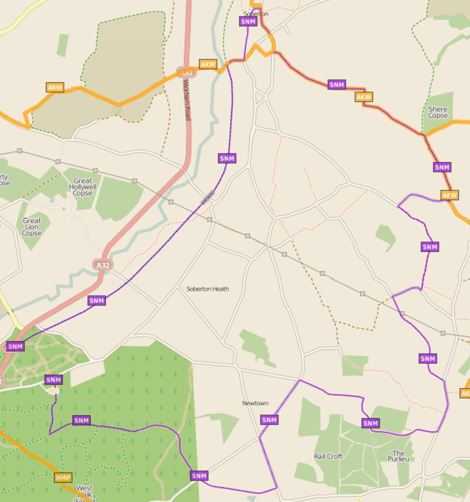
Soberton and Newtown Millennium Walk 2000
The Soberton and Newtown Millennium Walk 2000 is a 10-mile circular footpath through Hampshire, England around villages of Soberton and Newtown. Sections...

Hambledon, Hampshire
Hambledon is a small village and civil parish in the county of Hampshire in England, situated about 10 miles (16 km) north of Portsmouth within the South...
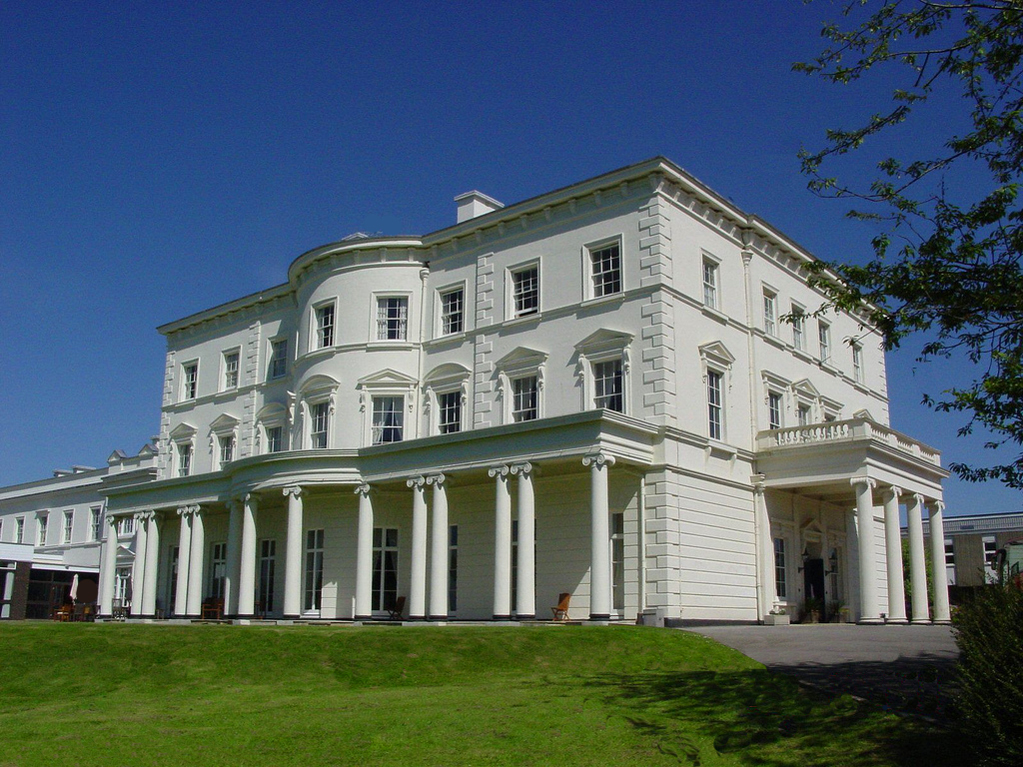
Southwick House
Southwick House is a Grade II listed 19th-century manor house of the Southwick Estate in Hampshire, England, about 5 miles (8 km) north of Portsmouth....
HMS Dryad (shore establishment)
HMS Dryad is a former stone frigate (shore establishment). It was the home of the Royal Navy's Maritime Warfare School from the Second World War until...
Related Videos


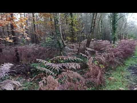
Creech Woods
A Short walk, around Creech Woods in the Forest of Bere, with Monkey & Otter.
A beautiful autumn walk in Creech Woods
Today I enjoyed this lovely walk in a local woodland #nature #woodlands #forest #walking.

Autumn village walk Denmead Walk with us, virtual walk
Denmead is a small charming village in Hampshire UK. Come with us for a virtual walk. Love Ania, Miles, Lola and Daisy x ...
Nearby Amenities
Located within 500m of 50.901152,-1.0803387Have you been to Bunkers Hill?
Leave your review of Bunkers Hill below (or comments, questions and feedback).