Wroxhills Wood

Wood, Forest in Oxfordshire South Oxfordshire

England

Wroxhills Wood

Farmland, Goring A cereal crop beside Battle Road with Wroxhills Wood starting to show the signs of autumn.
Farmland, Goring Credit: Andrew Smith

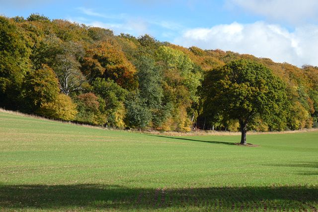
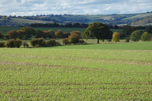
Wroxhills Wood is a picturesque woodland located in Oxfordshire, England. Covering an area of approximately 50 acres, this ancient wood is known for its rich biodiversity and serene atmosphere. Situated near the village of Wroxhill, the wood is easily accessible and attracts visitors from both nearby towns and further afield.

The wood is predominantly made up of broadleaf trees, such as oak, beech, and ash, which create a dense canopy overhead, providing ample shade during hot summer months. The forest floor is covered with a lush carpet of wildflowers and ferns, adding to the area's natural beauty. The diverse vegetation supports a wide range of wildlife, including various species of birds, mammals, and insects.

Wroxhills Wood is crisscrossed by several well-maintained footpaths, allowing visitors to explore its enchanting surroundings. These paths meander through the woodland, leading to hidden clearings, babbling brooks, and small ponds. It is a paradise for nature enthusiasts, hikers, and photographers, who often capture the wood's charm in all its glory.

The wood is carefully managed by the local authorities to preserve its ecological balance. Regular tree planting programs and maintenance work ensure the continued health and diversity of the woodland. Additionally, educational events and guided walks are organized to raise awareness about the importance of conservation and the unique ecosystem that Wroxhills Wood supports.

Overall, Wroxhills Wood is a captivating natural haven, offering tranquility and a chance to reconnect with nature. Its idyllic setting and abundant wildlife make it a must-visit destination for those seeking a respite from the hustle and bustle of everyday life.

If you have any feedback on the listing, please let us know in the comments section below.

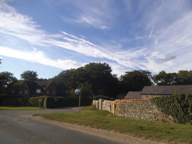
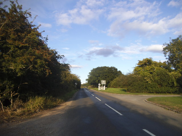
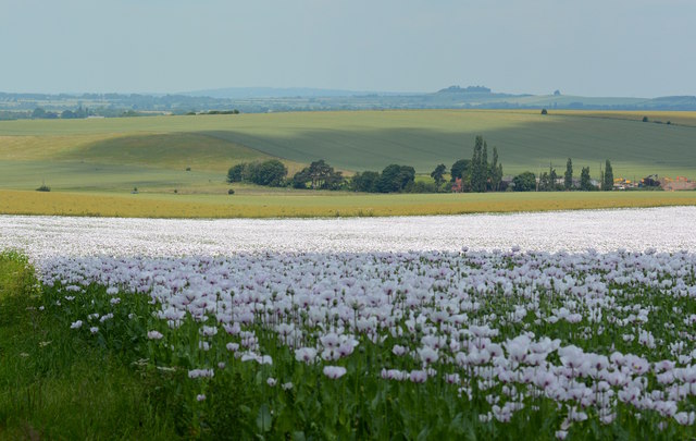
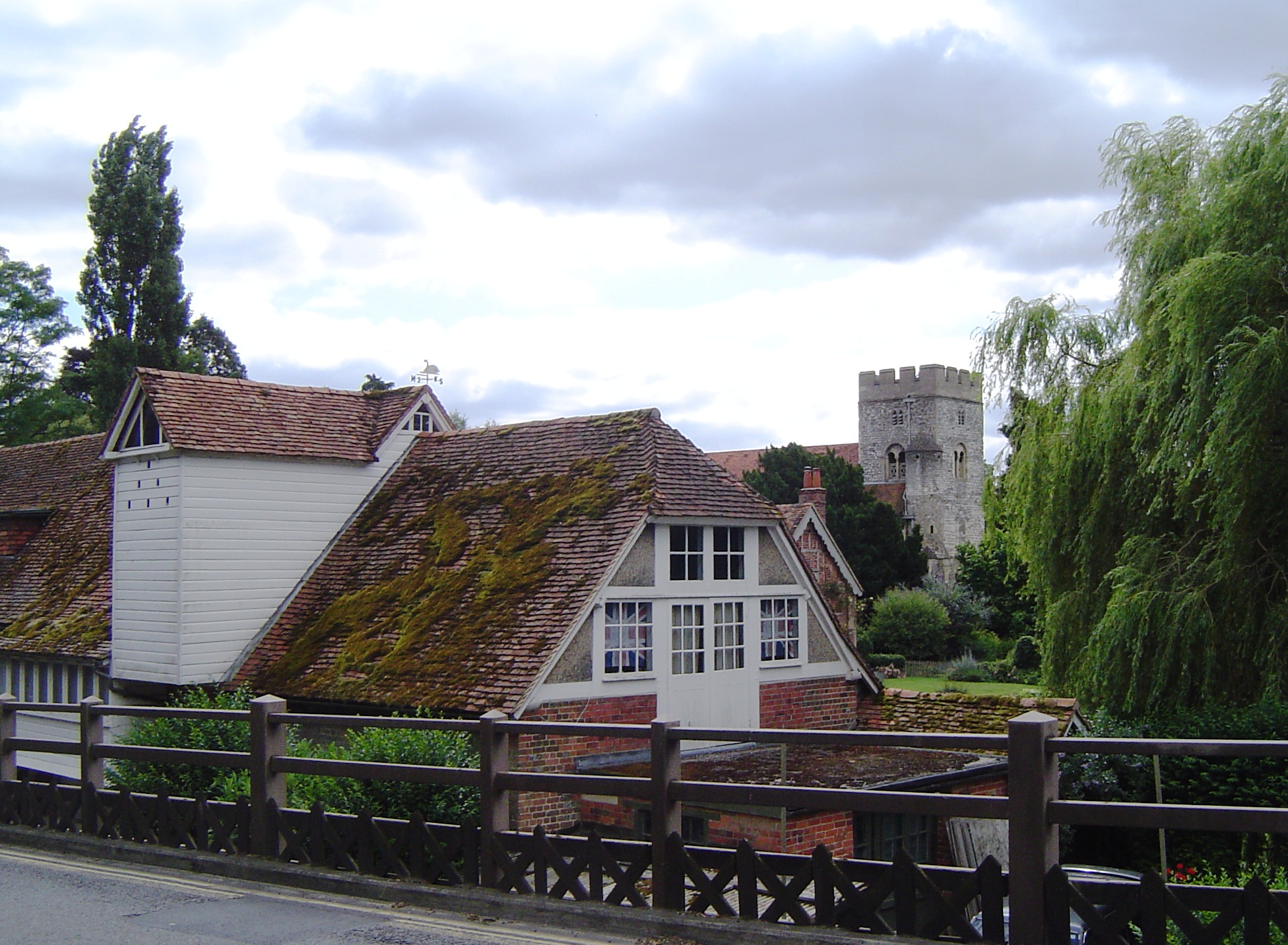
Wroxhills Wood Images

Images are sourced within 2km of 51.531605/-1.1099783 or Grid Reference SU6181. Thanks to Geograph Open Source API. All images are credited.

Farmland, Goring A cereal crop beside Battle Road with Wroxhills Wood starting to show the signs of autumn.
Farmland, Goring
A cereal crop beside Battle Road with Wroxhills Wood starting to show the signs of autumn.
Farmland, Woodcote Arable fields in the Chiltern foothills with the Berkshire Downs rising beyond the Goring Gap.
Farmland, Woodcote
Arable fields in the Chiltern foothills with the Berkshire Downs rising beyond the Goring Gap.
Farmland, Woodcote The South Stoke road is seen beside a field of maize as it descends Mile End Hill.  Ramsbury House, the modern incarnation of Lower Cadleys is beyond the crossroads.
Farmland, Woodcote
The South Stoke road is seen beside a field of maize as it descends Mile End Hill. Ramsbury House, the modern incarnation of Lower Cadleys is beyond the crossroads.
Wallingford Road, Goring Looking along the B4009 through this commuter village. Elvendon Road leads off to the right.
Wallingford Road, Goring
Looking along the B4009 through this commuter village. Elvendon Road leads off to the right.
Tesco Express, Goring This building, on the corner of Gatehampton Road and Reading Road, is unmistakeably a former pub - one of many around the country taken over by Tesco for a convenience store. Until it was closed in 2013 it was the Queens Arms, owned by Greene King, and opened by Tesco in August 2017. It is not known exactly when the pub was established; the first known reference was in 1843 but it seems likely that it was more or less contemporary with the nearby railway station opened a few years before.
Tesco Express, Goring
This building, on the corner of Gatehampton Road and Reading Road, is unmistakeably a former pub - one of many around the country taken over by Tesco for a convenience store. Until it was closed in 2013 it was the Queens Arms, owned by Greene King, and opened by Tesco in August 2017. It is not known exactly when the pub was established; the first known reference was in 1843 but it seems likely that it was more or less contemporary with the nearby railway station opened a few years before.
Gatehampton Road, Goring This is the view of Goring anybody emerging from Goring & Streatley station gets. In this image the main station buildings, protected by a canopy, are on the immediate left with a covered cycle rack beyond. The late afternoon sunshine catches the buildings further up the road, including a former pub now a Tesco Express, while three teenage boys approach having finished school for the day. The National Rail sign, perched on top of a high pole, completes the scene. Although an ancient settlement, Goring began to develop when the railway arrived in the 1830s and is now a sizeable commuter village with a population in excess of 3,000. Streatley is a smaller place connected to Goring by a bridge over the River Thames.
Gatehampton Road, Goring
This is the view of Goring anybody emerging from Goring & Streatley station gets. In this image the main station buildings, protected by a canopy, are on the immediate left with a covered cycle rack beyond. The late afternoon sunshine catches the buildings further up the road, including a former pub now a Tesco Express, while three teenage boys approach having finished school for the day. The National Rail sign, perched on top of a high pole, completes the scene. Although an ancient settlement, Goring began to develop when the railway arrived in the 1830s and is now a sizeable commuter village with a population in excess of 3,000. Streatley is a smaller place connected to Goring by a bridge over the River Thames.
Goring and Streatley Station
Park Farm on Reading Road
Reading Road at the junction of Gatehampton Road
Gatehampton Road at the junction of Goring High Street Crossing the railway bridge
Gatehampton Road at the junction of Goring High Street
Crossing the railway bridge
Whitehills Green, Goring
Reading Road leaving Goring
Reading Road east of Goring
Trees by Reading Road
Reading Road at the junction of Gatehampton Road The railway is opposite behind the railings and the station is on the left turning.
Reading Road at the junction of Gatehampton Road
The railway is opposite behind the railings and the station is on the left turning.
Reading Road east of Goring
Poppy field at Woodcote, Oxfordshire These are opium poppies, Papaver somniferum.
Poppy field at Woodcote, Oxfordshire
These are opium poppies, Papaver somniferum.
Show me another place!

Wroxhills Wood is located at Grid Ref: SU6181 (Lat: 51.531605, Lng: -1.1099783)

Administrative County: Oxfordshire

District: South Oxfordshire

Police Authority: Thames Valley

What 3 Words

///arose.unleashed.grinning. Near Goring, Oxfordshire

Related Wikis

Elvendon

Elvendon is a small settlement in Oxfordshire and the Chiltern Hills, near Goring. It includes the grade II listed building Elvendon Priory. == Etymology... ==

Goring Heath

Goring Heath is a hamlet and civil parish in the Chiltern Hills in South Oxfordshire. The civil parish includes the villages of Whitchurch Hill and Crays...
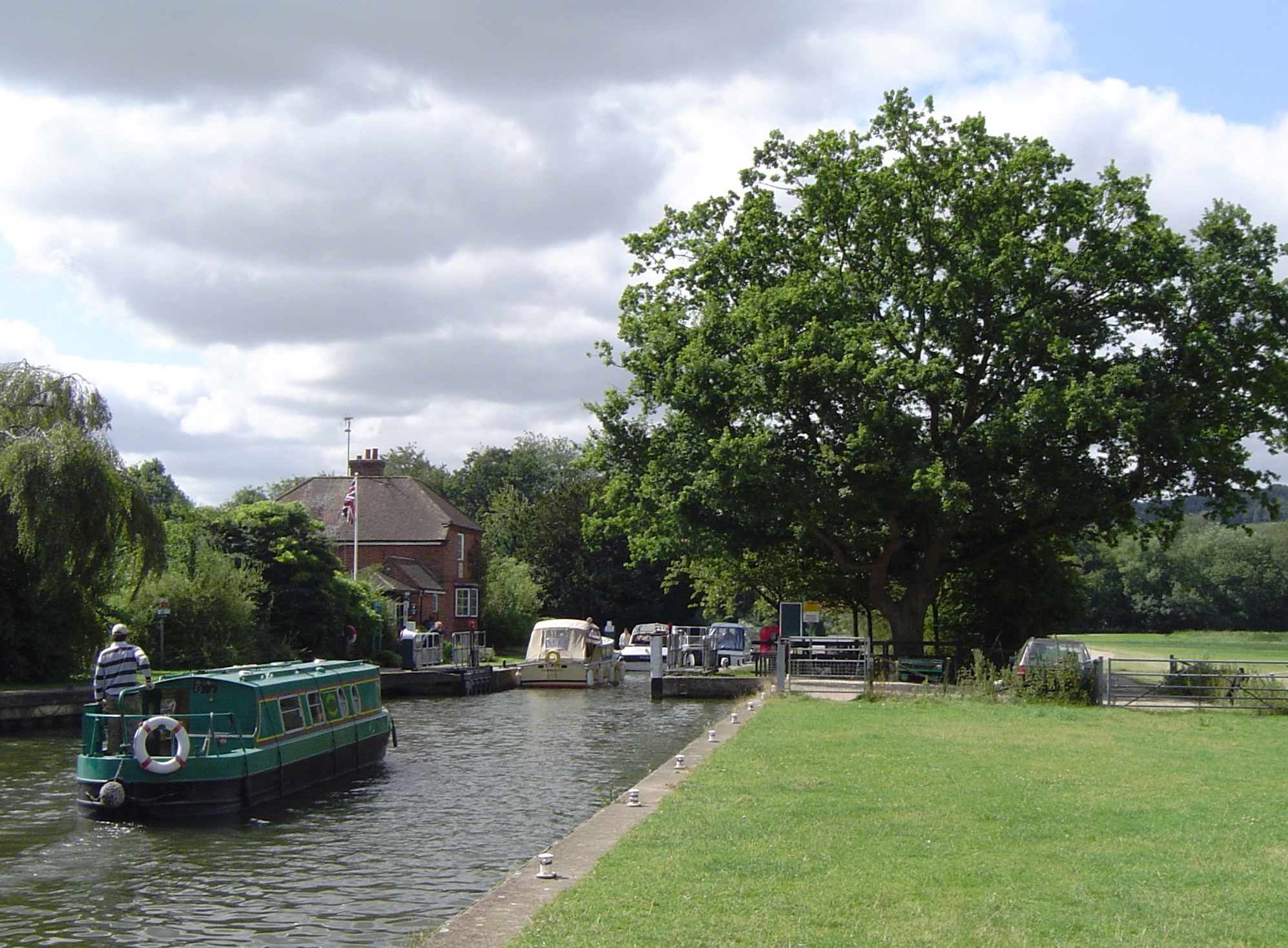
Cleeve Lock

Cleeve Lock is a lock on the River Thames, in Oxfordshire, England. It is located just upstream of Goring and Streatley villages, on the eastern side...

Goring & Streatley railway station

Goring & Streatley railway station is on the Great Western Main Line, serving the twin villages of Goring-on-Thames in Oxfordshire and Streatley in Berkshire...

Goring-on-Thames

Goring-on-Thames (or Goring) is a village and civil parish on the River Thames in South Oxfordshire, Oxfordshire, England. It is located about 5+1⁄2 mi...

Withymead Nature Reserve

Withymead Nature Reserve is a 13-acre (5.3 ha) site on the banks of the River Thames near Goring-on-Thames, Oxfordshire. The nature reserve is managed...

Crays Pond

Crays Pond is a hamlet situated in the parish of Goring Heath in South Oxfordshire. Crays Pond is about 2.4 miles (3.9 km) northeast of Goring-on-Thames...

Goring Gap

The Goring Gap is the narrow valley, occupied by the River Thames, between the Chiltern Hills and the Berkshire Downs. It is approximately 10 miles (16...

Have you been to Wroxhills Wood?

Leave your review of Wroxhills Wood below (or comments, questions and feedback).