Battle Plantation
Wood, Forest in Oxfordshire South Oxfordshire
England
Battle Plantation
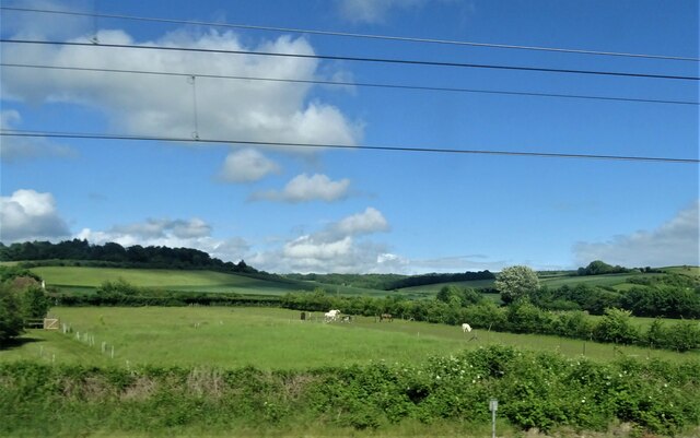
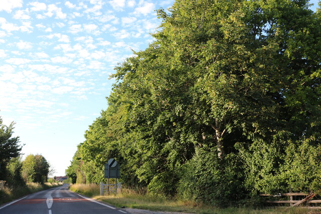
Battle Plantation, located in Oxfordshire, England, is a captivating wooded area that has become a popular destination for nature enthusiasts and history buffs alike. Spanning over a vast expanse, this woodland is renowned for its rich heritage and breathtaking beauty.
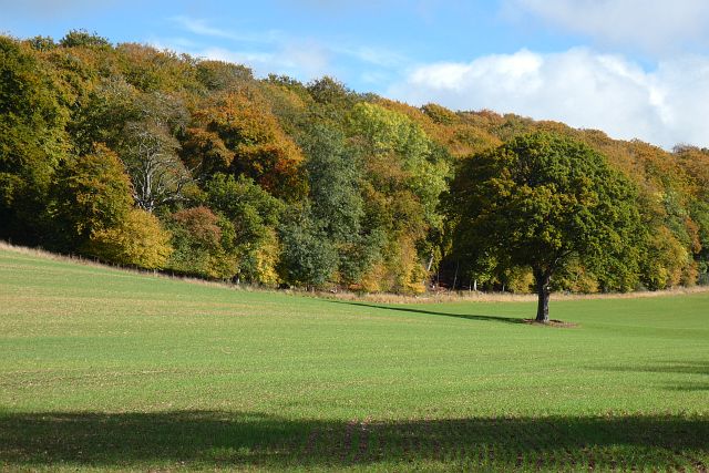
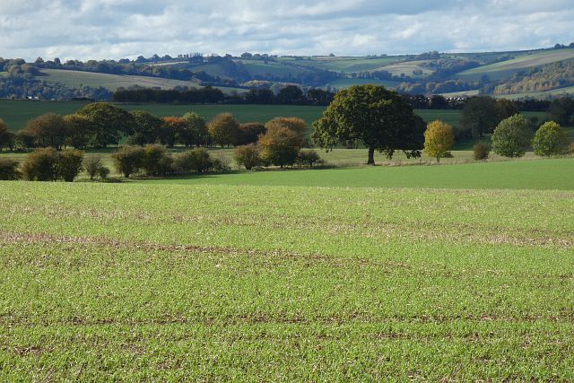
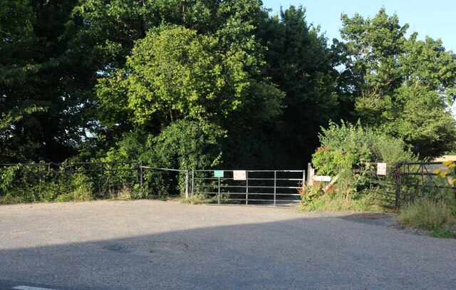
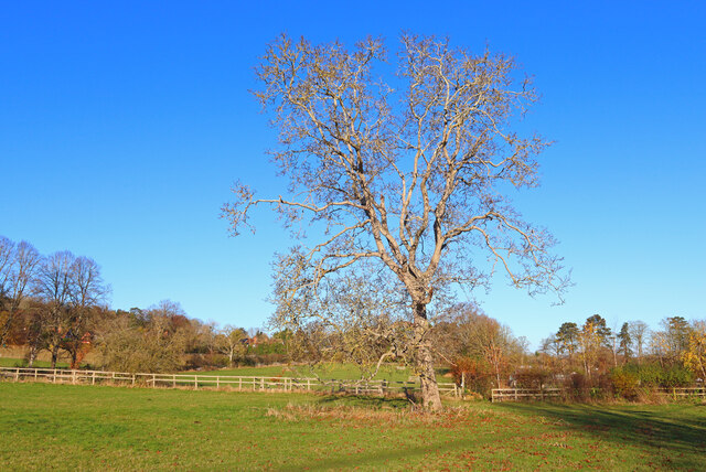
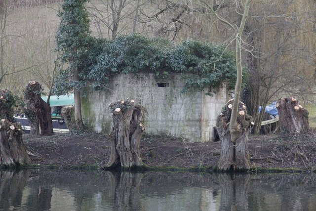
The plantation is characterized by its dense forest cover, consisting primarily of oak, birch, and beech trees. This lush foliage creates a serene and tranquil atmosphere, making it an ideal spot for walks, picnics, and wildlife observation. The diverse ecosystem supports a wide range of flora and fauna, including rare and endangered species such as red kites, woodpeckers, and various wildflowers.
However, what truly sets Battle Plantation apart is its historical significance. The site derives its name from the famous Battle of Bicester, which took place here during the English Civil War in 1642. It was a pivotal conflict between the Royalists and Parliamentarians, resulting in a decisive victory for the latter. Today, remnants of this battle can still be found, including earthworks and trenches that serve as a poignant reminder of the area's past.
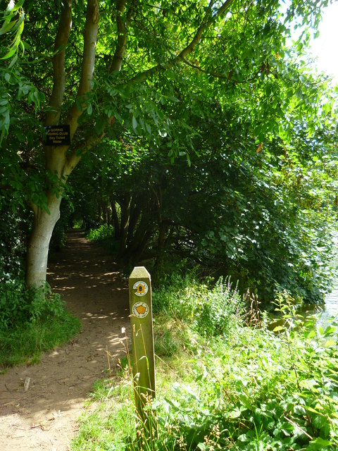
Visitors to Battle Plantation can explore the numerous walking trails that wind through the woodland, allowing them to appreciate the natural beauty while immersing themselves in history. Interpretive signage and information boards are strategically placed throughout the plantation, providing insights into the area's historical and ecological significance.
In conclusion, Battle Plantation in Oxfordshire is a captivating woodland, offering a perfect blend of natural beauty and historical intrigue. It is a must-visit destination for those seeking a peaceful retreat in the heart of nature, while also delving into the rich tapestry of England's past.
If you have any feedback on the listing, please let us know in the comments section below.
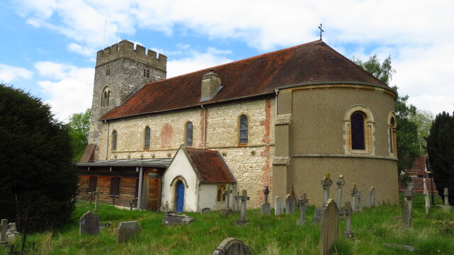
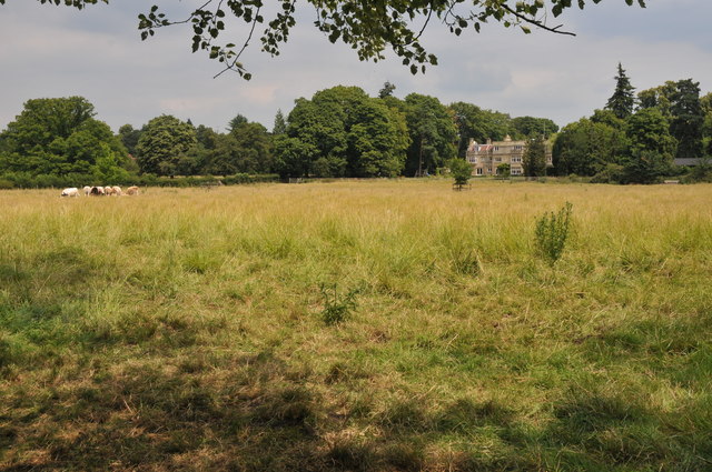
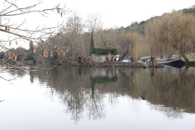
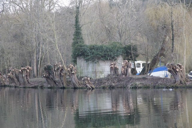
Battle Plantation Images
Images are sourced within 2km of 51.526676/-1.1193432 or Grid Reference SU6181. Thanks to Geograph Open Source API. All images are credited.
Battle Plantation is located at Grid Ref: SU6181 (Lat: 51.526676, Lng: -1.1193432)
Administrative County: Oxfordshire
District: South Oxfordshire
Police Authority: Thames Valley
What 3 Words
///layers.marzipan.snippets. Near Goring, Oxfordshire
Nearby Locations
Related Wikis

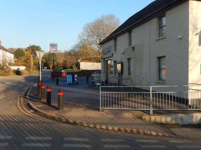
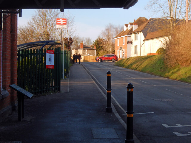
Goring & Streatley railway station
Goring & Streatley railway station is on the Great Western Main Line, serving the twin villages of Goring-on-Thames in Oxfordshire and Streatley in Berkshire...
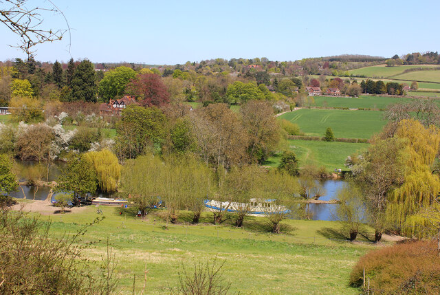
Goring-on-Thames
Goring-on-Thames (or Goring) is a village and civil parish on the River Thames in South Oxfordshire, Oxfordshire, England. It is located about 5+1⁄2 mi...

Elvendon
Elvendon is a small settlement in Oxfordshire and the Chiltern Hills, near Goring. It includes the grade II listed building Elvendon Priory. == Etymology... ==
Cleeve Lock
Cleeve Lock is a lock on the River Thames, in Oxfordshire, England. It is located just upstream of Goring and Streatley villages, on the eastern side...

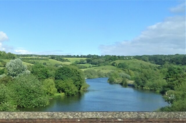
Goring Gap
The Goring Gap is the narrow valley, occupied by the River Thames, between the Chiltern Hills and the Berkshire Downs. It is approximately 10 miles (16...

Goring Lock
Goring Lock is a lock and weir situated on the River Thames in England at the Goring Gap in the Chiltern Hills. The lock is located on the Oxfordshire...

Goring and Streatley Bridge
Goring and Streatley Bridge is a road bridge across the River Thames in England. The bridge links the twin villages of Goring-on-Thames, Oxfordshire, and...

Goring Heath
Goring Heath is a hamlet and civil parish in the Chiltern Hills in South Oxfordshire. The civil parish includes the villages of Whitchurch Hill and Crays...
Nearby Amenities
Located within 500m of 51.526676,-1.1193432Have you been to Battle Plantation?
Leave your review of Battle Plantation below (or comments, questions and feedback).