Long Ham Shaw
Wood, Forest in Berkshire
England
Long Ham Shaw
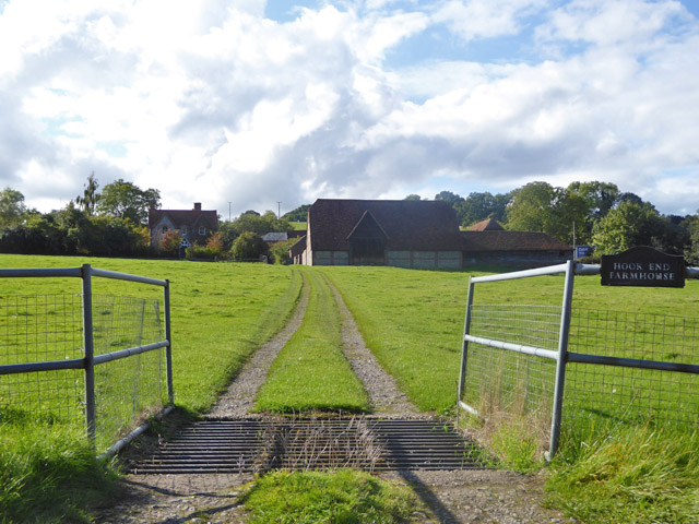
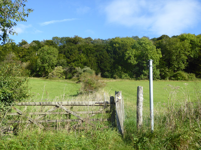
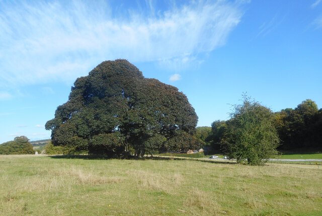
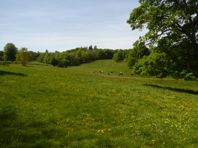
Long Ham Shaw is a small woodland area located in the county of Berkshire, England. Situated near the village of Long Ham, it covers an approximate area of 150 acres. The woodland is predominantly composed of deciduous trees, such as oak, beech, and birch, providing a diverse and vibrant ecosystem.
The forest floor of Long Ham Shaw is rich in flora and fauna, with a variety of wildflowers, ferns, and mosses creating a lush and enchanting environment. It is also home to a wide range of wildlife, including deer, foxes, badgers, and numerous bird species. The tranquil atmosphere and abundance of natural resources make it an ideal habitat for these creatures.
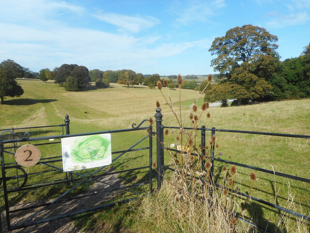
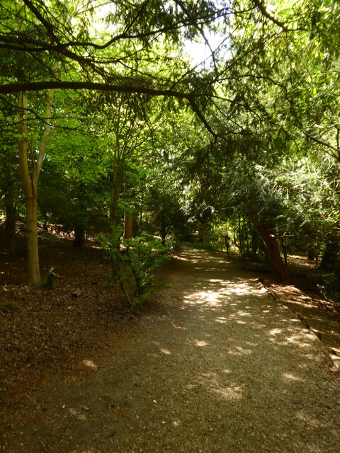
Long Ham Shaw is a popular destination for nature enthusiasts, hikers, and birdwatchers. The network of well-maintained footpaths and trails allows visitors to explore the woodland and enjoy its beauty at their own pace. The dense vegetation and towering trees provide shade and shelter, making it a delightful place to escape the heat of the summer sun.
The woodland has a rich historical significance, with evidence of human activity dating back centuries. Ancient earthworks and remnants of settlements have been discovered within the woodland, suggesting that it was once inhabited by early settlers. The local community takes pride in preserving and protecting this historical heritage.
Long Ham Shaw offers a peaceful retreat from the bustling city life, allowing visitors to connect with nature and experience the beauty of the Berkshire countryside. Its picturesque scenery, diverse wildlife, and rich history make it a cherished natural asset of the region.
If you have any feedback on the listing, please let us know in the comments section below.
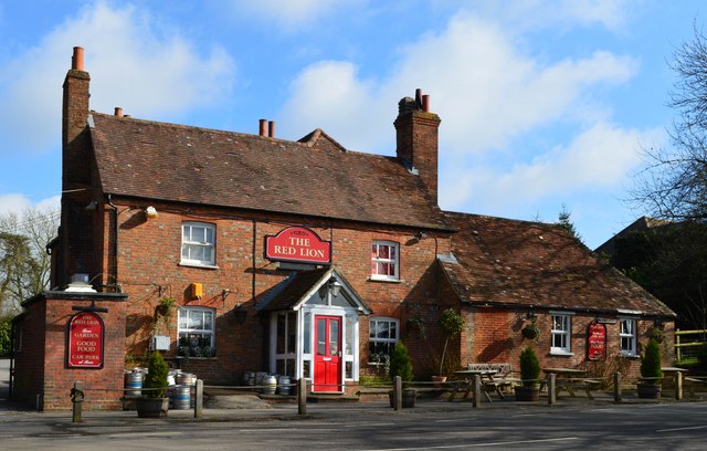
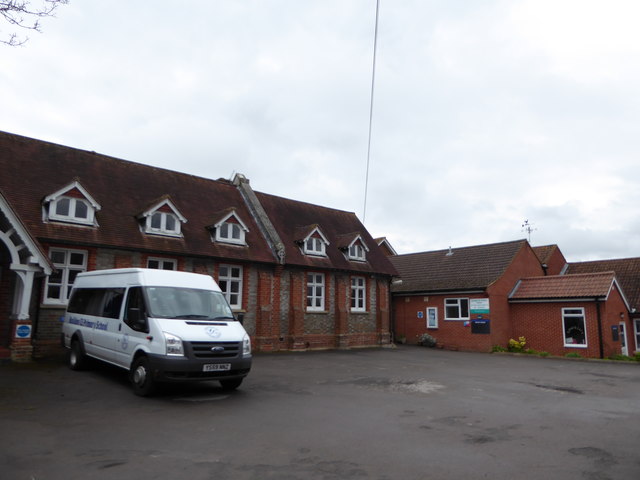
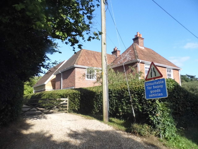
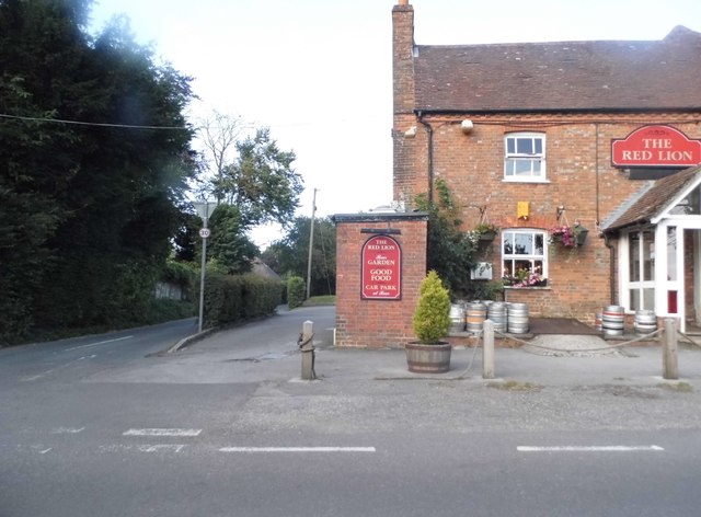
Long Ham Shaw Images
Images are sourced within 2km of 51.489501/-1.120045 or Grid Reference SU6177. Thanks to Geograph Open Source API. All images are credited.

Long Ham Shaw is located at Grid Ref: SU6177 (Lat: 51.489501, Lng: -1.120045)
Unitary Authority: West Berkshire
Police Authority: Thames Valley
What 3 Words
///meaning.sake.depths. Near Upper Basildon, Berkshire
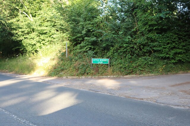
Nearby Locations
Related Wikis

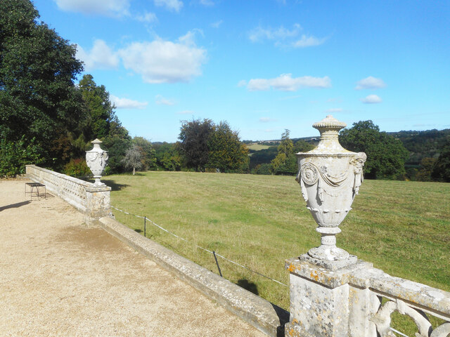
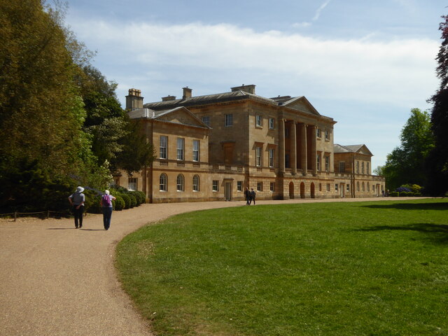
Basildon Park
Basildon Park is a country house situated 2 miles (3 kilometres) south of Goring-on-Thames and Streatley in Berkshire, between the villages of Upper Basildon...

Beale Wildlife Park
Beale Wildlife Park is situated by the River Thames, between the villages of Pangbourne and Lower Basildon in Berkshire, England. It has three main areas...
Basildon, Berkshire
Basildon is a civil parish in the English county of Berkshire. It comprises the small villages of Upper Basildon and Lower Basildon, named for their respective...
A329 road
The A329 is an east–west road in Southern England that runs from Wentworth in Surrey to Thame in Oxfordshire. == Route == The A329 starts at the A30 in...
Lower Basildon
Lower Basildon is a small English village in the civil parish of Basildon, near Pangbourne, in the county of Berkshire. == Amenities == === Shops and... ===

Upper Basildon
Upper Basildon is a small village in the civil parish of Basildon (where the United Kingdom 2011 Census population is included), near to Pangbourne, in...

Pangbourne College Boat Club
Pangbourne College Boat Club is a rowing club based on the River Thames at Pangbourne College Boathouse, Shooters Hill, Pangbourne, Berkshire. == History... ==

Hartslock
Hartslock, also known as Hartslock Woods, is a 41.8-hectare (103-acre) biological Site of Special Scientific Interest (SSSI) in a wooded area on the north...
Nearby Amenities
Located within 500m of 51.489501,-1.120045Have you been to Long Ham Shaw?
Leave your review of Long Ham Shaw below (or comments, questions and feedback).