Gildersome

Civil Parish in Yorkshire Leeds

England

Gildersome

Car Wash, Wakefield Road (B6135), Drighlington
Car Wash, Wakefield Road (B6135), Drighlington Credit: habiloid

Gildersome is a civil parish located in the metropolitan borough of Leeds, West Yorkshire, England. It is situated approximately 6 miles south-west of Leeds city center. The area covers around 2.5 square miles and is bordered by the towns of Morley, Churwell, and Tong.

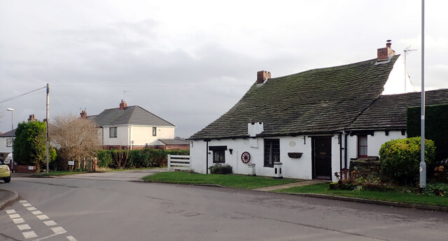
Gildersome has a rich history dating back to the 11th century when it was mentioned in the Domesday Book. Originally an agricultural village, it gradually transformed into a bustling industrial area during the 19th century with the introduction of textile mills and coal mining.

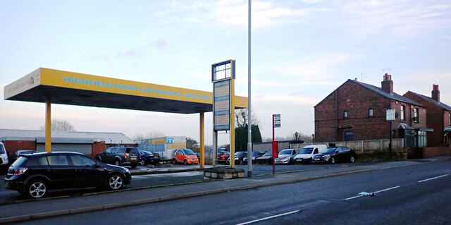
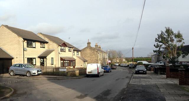
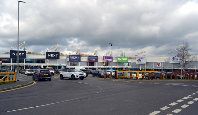
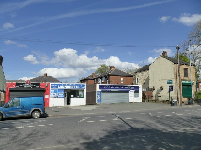
Today, Gildersome is a predominantly residential area with a population of around 7,000 residents. The parish offers a mix of housing, ranging from traditional stone-built cottages to modern developments. The community is known for its tight-knit and friendly atmosphere, with a range of local amenities including shops, pubs, and schools.

The area is well-connected to neighboring towns and cities via major road links, including the M62 motorway, making it an attractive location for commuters. Gildersome is also served by regular bus services, providing easy access to Leeds and other nearby areas.

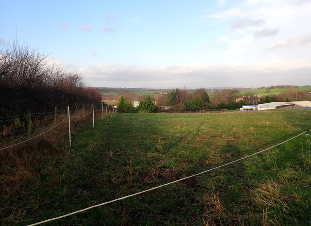
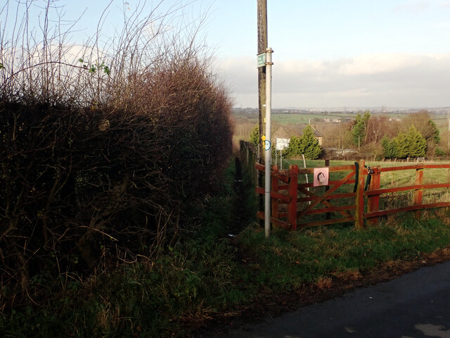
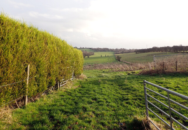
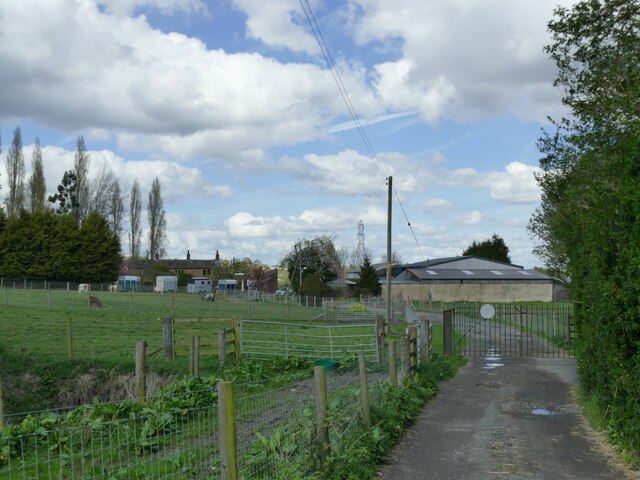
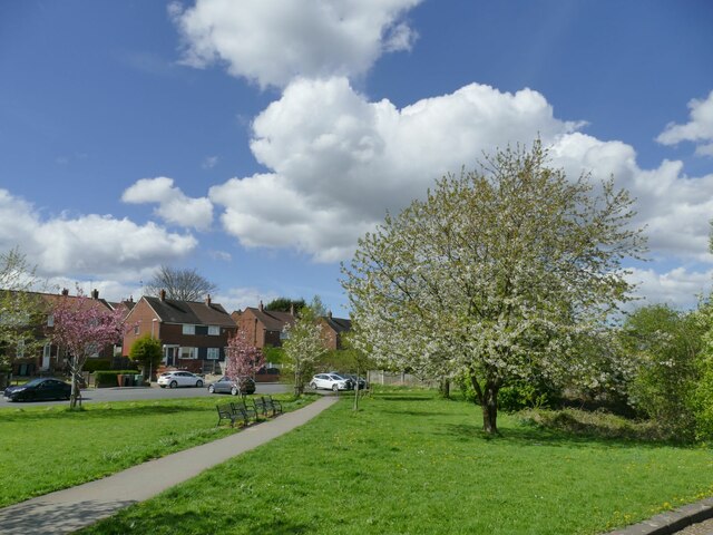
For nature enthusiasts, Gildersome boasts beautiful green spaces, such as Gildersome Park, which offers a tranquil setting for walking and outdoor activities. The park features well-maintained gardens, a children's play area, and sports facilities.

In conclusion, Gildersome is a charming civil parish with a rich history, a strong sense of community, and a range of amenities. Its convenient location and attractive surroundings make it an appealing place to live for both families and professionals.

If you have any feedback on the listing, please let us know in the comments section below.
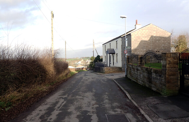
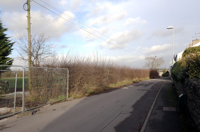
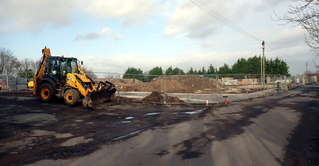
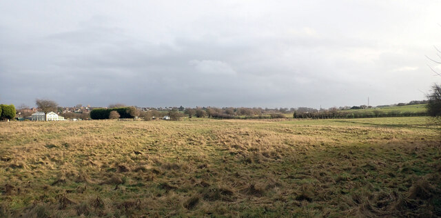
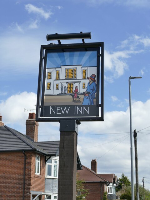
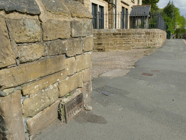
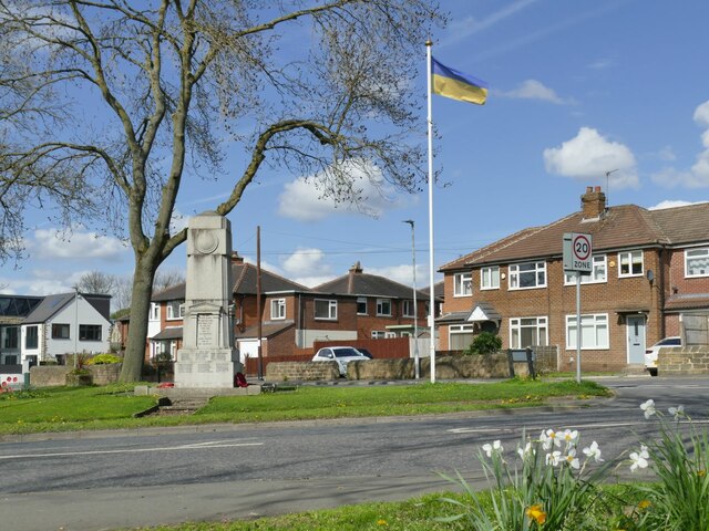
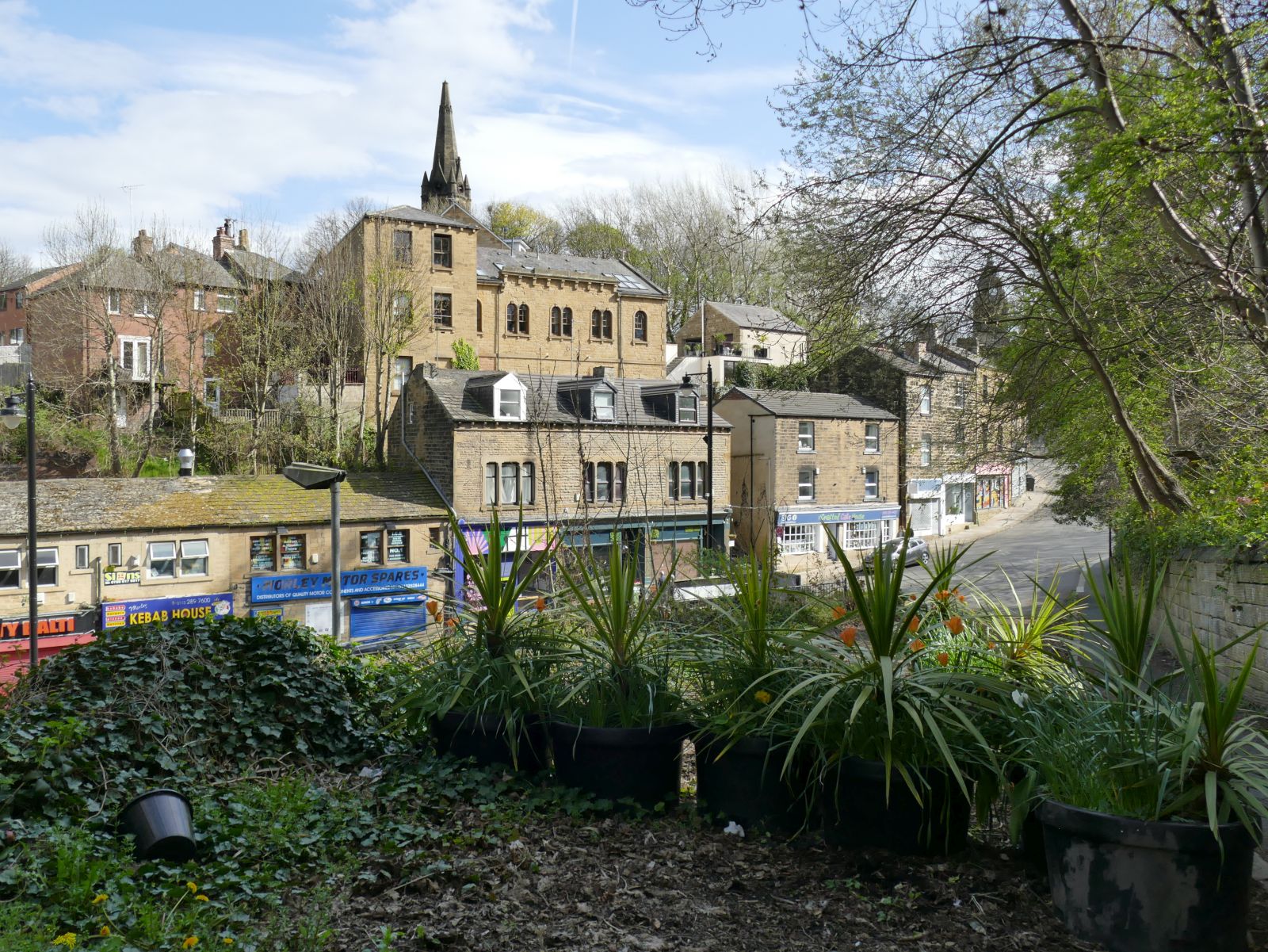
Gildersome Images

Images are sourced within 2km of 53.758222/-1.623366 or Grid Reference SE2429. Thanks to Geograph Open Source API. All images are credited.

Car Wash, Wakefield Road (B6135), Drighlington
View from Old Lane, Drighlington
Path to Whitehall Road leaving Old Lane, Drighlington
Path from Drighlington to Gildesome
Old Lane, Drighlington
Building site, Old Lane, Drighlington
A field by Old Lane, Drighlington
Old Lane, Drighlington
Showcase Cinema, Birstall
Birstall Retail Park seen from Holden Ing Way
Carr Hall Farm, Gildersome Viewed from the access track which forms part of a public footpath.
Carr Hall Farm, Gildersome
Viewed from the access track which forms part of a public footpath.
Spring View, Gildersome The name is that of the road from which the photo is taken, and presumably refers to a spring of water, but the blossom on the trees also makes it a seasonal picture.
Spring View, Gildersome
The name is that of the road from which the photo is taken, and presumably refers to a spring of water, but the blossom on the trees also makes it a seasonal picture.
Sign for the New Inn, Gildersome The sign was not present just over a year earlier <a href="https://www.geograph.org.uk/photo/6787100">SE2429 : The New Inn, Church Street, Gildersome - temporarily closed?</a> but a restored version of the previous design has been put back, compare <a href="https://www.geograph.org.uk/photo/6393022">SE2429 : Sign for the New Inn, Gildersome</a> and play spot-the-difference!

I came this time to go in for a drink because of the pub's heritage status, and can confirm it retains much of its 1930s interior decor, but did not take any interior photos as that's against Samuel Smith's company policy.
Sign for the New Inn, Gildersome
The sign was not present just over a year earlier SE2429 : The New Inn, Church Street, Gildersome - temporarily closed? but a restored version of the previous design has been put back, compare SE2429 : Sign for the New Inn, Gildersome and play spot-the-difference! I came this time to go in for a drink because of the pub's heritage status, and can confirm it retains much of its 1930s interior decor, but did not take any interior photos as that's against Samuel Smith's company policy.
Cable marker, Church Street, Gildersome A part-buried metal plate reading 'Yorkshire Electric Cables'.
Cable marker, Church Street, Gildersome
A part-buried metal plate reading 'Yorkshire Electric Cables'.
Shops on Town Street, Gildersome Currently comprising a pizza takeaway, laundrette, fish-and-chip shop and sandwich shop.
Shops on Town Street, Gildersome
Currently comprising a pizza takeaway, laundrette, fish-and-chip shop and sandwich shop.
Ukrainian flag, Town Street, Gildersome The flagpole by the war memorial seems to be used for marking particular occasions, as the last time I passed it was flying the NHS flag during the Covid-19 pandemic <a href="https://www.geograph.org.uk/photo/6786905">SE2429 : Gildersome village cenotaph</a>. This time it was marking the war in Ukraine, although the Union flag has also been seen <a href="https://www.geograph.org.uk/photo/6393017">SE2429 : War Memorial, Gildersome</a>.
Ukrainian flag, Town Street, Gildersome
The flagpole by the war memorial seems to be used for marking particular occasions, as the last time I passed it was flying the NHS flag during the Covid-19 pandemic SE2429 : Gildersome village cenotaph. This time it was marking the war in Ukraine, although the Union flag has also been seen SE2429 : War Memorial, Gildersome.
Show me another place!

Gildersome is located at Grid Ref: SE2429 (Lat: 53.758222, Lng: -1.623366)

Division: West Riding

Administrative County: West Yorkshire

District: Leeds

Police Authority: West Yorkshire

What 3 Words

///trash.excuse.rods. Near Gildersome, West Yorkshire

Related Wikis

Gildersome

Gildersome is a village and civil parish in the City of Leeds metropolitan borough 5 miles (7 km) south-west of Leeds city centre in West Yorkshire, England...

Municipal Borough of Morley

Morley was a local government district in the West Riding of Yorkshire. Apart from the town of Morley, it included Churwell (a separate Local Government...

Gildersome West railway station

Gildersome West railway station served the village of Gildersome, West Yorkshire, England, from 1856 to 1968 on the Leeds, Bradford and Halifax Junction...

Gildersome East railway station

Gildersome East railway station served the village of Gildersome, West Yorkshire, England, from 1900 to 1921 on the Leeds New Line. == History == The station...

Bruntcliffe Academy

Bruntcliffe Academy (formerly Bruntcliffe School) is a coeducational secondary school located in Morley, West Yorkshire, England. It is situated on Bruntcliffe...

Morley, West Yorkshire

Morley is a market town and a civil parish within the City of Leeds metropolitan borough, in West Yorkshire, England. Morley is the largest town in the...

Morley and Rothwell (UK Parliament constituency)

Morley and Rothwell was a parliamentary constituency represented in the House of Commons of the Parliament of the United Kingdom. It elected one Member...

Morley and Outwood (UK Parliament constituency)

Morley and Outwood is a constituency in West Yorkshire represented in the House of Commons of the UK Parliament since 2015 by Andrea Jenkyns of the Conservative...

Nearby Amenities

Located within 500m of 53.758222,-1.623366
Traffic Signals
Crossing: traffic_signals
Crossing Ref: pelican
Kerb: flush
Tactile Paving: yes
Lat/Long: 53.7567386/-1.6198443
Gildersome
Is In: Leeds, West Yorkshire, United Kingdom
Place: village
Wikidata: Q2634063
Wikipedia: en:Gildersome
Lat/Long: 53.7595661/-1.6276364
Crossing
Crossing: unmarked
Crossing Island: yes
Lat/Long: 53.7581049/-1.6275624
Turning Circle
Lat/Long: 53.7553157/-1.6264718
Turning Circle
Lat/Long: 53.7549047/-1.6276685
Barrier: bollard
Bicycle: yes
Foot: yes
Motor Vehicle: no
Lat/Long: 53.7569357/-1.624327
Restaurant
Alishaan Indian Bistro
Addr City: Leeds
Addr Housenumber: 1-3
Addr Postcode: LS27 7DX
Addr Street: Finkle Lane
Addr Suburb: Gildersome
Cuisine: indian
Fhrs Id: 1135372
Old Name: Grameen Fusion
Lat/Long: 53.7576951/-1.627743
Post Box
Operator: Royal Mail
Post Box Type: pillar
Ref: LS27 592
Royal Cypher: GR
Royal Cypher Wikidata: Q33102273
Lat/Long: 53.7581806/-1.6283042
Telephone
Booth: KX100
Covered: booth
Lat/Long: 53.7582229/-1.6284915
Library
Gildersome Library
Wikidata: Q42892198
Lat/Long: 53.7581151/-1.6285907
Traffic Calming: chicane
Lat/Long: 53.7584238/-1.629003
Gildersome War Memorial
Historic: memorial
Memorial: war_memorial
Lat/Long: 53.7581043/-1.626843
Fast Food
Ocean Wild Fish Bar
Addr City: Leeds
Addr Housenumber: 66
Addr Postcode: LS27 7AA
Addr Street: Town Street
Fhrs Id: 495555
Lat/Long: 53.7582866/-1.6278128
Bownass Newsagents
Shop: convenience
Lat/Long: 53.7580012/-1.6263035
Turning Circle
Lat/Long: 53.7592668/-1.6260817
Turning Circle
Lat/Long: 53.7574243/-1.6200014
Post Box
Operator: Royal Mail
Post Box Type: pillar
Ref: LS27 91
Lat/Long: 53.7577753/-1.623624
Barrier: kissing_gate
Lat/Long: 53.7604679/-1.6277462
Bus Stop
Gildersome Green
Bench: yes
Bin: yes
Check Date Shelter: 2024-01-14
Local Ref: 45010359
Naptan AtcoCode: 450010359
Naptan Bearing: W
Naptan CommonName: Gildersome Green
Naptan Crossing: Finkle Lane
Naptan Indicator: Stop 45010359
Naptan Landmark: Gildersome Hall
Naptan PlusbusZoneRef: LEEDS
Naptan ShortCommonName: Gildersome Green
Naptan Street: Town Street
Naptan Verified: yes
Shelter: yes
Source: naptan_import
Timetable: yes
Lat/Long: 53.758243/-1.6286443
Bus Stop
Gildersome Green
Check Date Shelter: 2024-03-29
Local Ref: 45010360
Naptan AtcoCode: 450010360
Naptan Bearing: E
Naptan CommonName: Gildersome Green
Naptan Crossing: Mill Lane
Naptan Indicator: Stop 45010360
Naptan Landmark: Public Library
Naptan PlusbusZoneRef: LEEDS
Naptan ShortCommonName: Mill Lane
Naptan Street: Town Street
Naptan Verified: yes
Shelter: yes
Source: naptan_import
Timetable: yes
Lat/Long: 53.7583961/-1.6287491
Bus Stop
Asquith Avenue Morley
Local Ref: 45011487
Naptan AtcoCode: 450011487
Naptan Bearing: NW
Naptan CommonName: Asquith Avenue Morley
Naptan Crossing: Gelderd Road
Naptan Indicator: Stop 45011487
Naptan Landmark: Mill House PH
Naptan PlusbusZoneRef: LEEDS
Naptan ShortCommonName: Gelderd Road
Naptan Street: Asquith Avenue
Naptan Verified: yes
Shelter: no
Source: naptan_import
Timetable: yes
Towards: Bradford, Drighlington, Gildersome, Pudsey
Lat/Long: 53.7561178/-1.6188043
Bus Stop
Branch End Highfield Close
Bench: no
Bin: no
Check Date Shelter: 2024-01-14
Lit: no
Local Ref: 45011488
Naptan AtcoCode: 450011488
Naptan Bearing: E
Naptan CommonName: Branch End Highfield Close
Naptan Crossing: Highfield Close
Naptan Indicator: Stop 45011488
Naptan PlusbusZoneRef: LEEDS
Naptan ShortCommonName: Highfield Close
Naptan Street: Branch End
Naptan Verified: yes
Shelter: no
Source: naptan_import
Tactile Paving: no
Timetable: yes
Lat/Long: 53.756969/-1.6207836
Bus Stop
Branch Road
Bench: no
Bin: yes
Check Date Shelter: 2024-01-14
Lit: no
Local Ref: 45011489
Naptan AtcoCode: 450011489
Naptan Bearing: W
Naptan CommonName: Branch Road
Naptan Crossing: Kenilworth Gardens
Naptan Indicator: Stop 45011489
Naptan Landmark: Old Griffin PH
Naptan PlusbusZoneRef: LEEDS
Naptan ShortCommonName: Kenilworth Avenue
Naptan Street: Town Street
Naptan Verified: yes
Shelter: no
Source: naptan_import
Tactile Paving: no
Timetable: yes
Towards: Bradford, Pudsey, Huddersfield, Heckmondwike
Lat/Long: 53.7576174/-1.6240236
Bus Stop
Town Street Kenilworth Gardens
Bench: no
Bin: yes
Check Date Shelter: 2024-01-14
Lit: no
Local Ref: 45011490
Naptan AtcoCode: 450011490
Naptan Bearing: E
Naptan CommonName: Town Street Kenilworth Gardens
Naptan Crossing: Kenilworth Avenue
Naptan Indicator: Stop 45011490
Naptan Landmark: Old Griffin PH
Naptan PlusbusZoneRef: LEEDS
Naptan ShortCommonName: Kenilworth Gardens
Naptan Street: Town Street
Naptan Verified: yes
Shelter: no
Source: naptan_import
Tactile Paving: no
Timetable: yes
Lat/Long: 53.757717/-1.6242503
Bus Stop
Gelderd Road Asquith Avenue
Bench: no
Bin: no
Lit: no
Local Ref: 45012245
Naptan AtcoCode: 450012245
Naptan Bearing: SW
Naptan CommonName: Gelderd Road Asquith Avenue
Naptan Crossing: Asquith Avenue
Naptan Indicator: Stop 45012245
Naptan PlusbusZoneRef: LEEDS
Naptan ShortCommonName: Asquith Avenue
Naptan Street: Gelderd Road
Naptan Verified: yes
Shelter: no
Source: naptan_import
Tactile Paving: no
Timetable: yes
Lat/Long: 53.7571693/-1.6187645
Bus Stop
Gelderd Road
Bench: no
Bin: no
Lit: no
Local Ref: 45012246
Naptan AtcoCode: 450012246
Naptan Bearing: NE
Naptan CommonName: Gelderd Road
Naptan Crossing: Nr-At Branch End
Naptan Indicator: Stop 45012246
Naptan Landmark: Woodlands Hotel
Naptan PlusbusZoneRef: LEEDS
Naptan ShortCommonName: Woodlands
Naptan Street: Gelderd Road
Naptan Verified: yes
Shelter: no
Source: naptan_import
Tactile Paving: no
Timetable: yes
Lat/Long: 53.7584215/-1.6168116
Bus Stop
Gelderd Road
Bench: no
Bin: no
Check Date Shelter: 2024-01-14
Lit: no
Local Ref: 45012247
Naptan AtcoCode: 450012247
Naptan Bearing: SW
Naptan CommonName: Gelderd Road
Naptan Crossing: Nr-At Asquith Avenue
Naptan Indicator: Stop 45012247
Naptan Landmark: Woodlands Hotel
Naptan PlusbusZoneRef: LEEDS
Naptan ShortCommonName: Woodlands
Naptan Street: Gelderd Road
Naptan Verified: yes
Shelter: no
Source: naptan_import
Tactile Paving: no
Timetable: yes
Lat/Long: 53.7580542/-1.6171942
Bench
Backrest: yes
Check Date: 2024-01-14
Lat/Long: 53.7567361/-1.6202012
Bench
Backrest: yes
Check Date: 2024-03-29
Lat/Long: 53.7576073/-1.6239714
Fast Food
Karen's Pantry
Addr City: Leeds
Addr Housenumber: 70
Addr Postcode: LS27 7AA
Addr Street: Town Street
Addr Suburb: Gildersome
Cuisine: sandwich
Fhrs Id: 837982
Lat/Long: 53.7582215/-1.6277016
Atm
Lat/Long: 53.7572311/-1.6284048
Gildersome Launderette
Addr City: Leeds
Addr Housenumber: 64
Addr Postcode: LS27 7AA
Addr Street: Town Street
Shop: laundry
Lat/Long: 53.7583182/-1.6279551
Bench
Backrest: yes
Lat/Long: 53.7581295/-1.6282287
Fast Food
Ugo Pizza
Addr City: Leeds
Addr Housenumber: 62
Addr Postcode: LS27 7AA
Addr Street: Town Street
Addr Suburb: Gildersome
Cuisine: pizza
Fhrs Id: 1060179
Lat/Long: 53.7583341/-1.6280409
Bench
Backrest: yes
Lat/Long: 53.758564/-1.6293284
Turning Circle
Lat/Long: 53.7569728/-1.6243569
Turning Circle
Lat/Long: 53.7568413/-1.6242404
Post Box
Operator: Royal Mail
Ref: LS27 347
Lat/Long: 53.7561117/-1.6221239
Kindergarten
Kaleidoscope Day Nursery
Addr City: Leeds
Addr Housename: Gildersome Primary School
Addr Postcode: LS27 7AB
Addr Street: Town Street
Addr Suburb: Morley
Fhrs Id: 321494
Lat/Long: 53.7577456/-1.6302896
Defibrillator
Defibrillator Location: Front corner of library external wall
Emergency: defibrillator
Lat/Long: 53.7581484/-1.6286789
Man Made: survey_point
Lat/Long: 53.7604612/-1.6268601
Barrier: kissing_gate
Lat/Long: 53.7616928/-1.6246996
Waste Basket
Ref UK Leedscc Bin: 3368
Lat/Long: 53.758669/-1.62969
Waste Basket
Ref UK Leedscc Bin: 3363
Lat/Long: 53.758337/-1.629043
Waste Basket
Ref UK Leedscc Bin: 3290
Lat/Long: 53.758243/-1.628609
Waste Basket
Ref UK Leedscc Bin: 3289
Lat/Long: 53.75828/-1.628128
Waste Basket
Ref UK Leedscc Bin: 5055
Lat/Long: 53.757202/-1.62839
Waste Basket
Ref UK Leedscc Bin: 3364
Lat/Long: 53.757991/-1.627369
Waste Basket
Ref UK Leedscc Bin: 3279
Lat/Long: 53.758065/-1.626367
Waste Basket
Ref UK Leedscc Bin: 1391
Lat/Long: 53.758877/-1.625884
Waste Basket
Ref UK Leedscc Bin: 3365
Lat/Long: 53.757756/-1.625842
Waste Basket
Ref UK Leedscc Bin: 1390
Lat/Long: 53.758305/-1.625121
Waste Basket
Ref UK Leedscc Bin: 3366
Lat/Long: 53.758294/-1.625044
Waste Basket
Ref UK Leedscc Bin: 3367
Lat/Long: 53.757762/-1.624182
Waste Basket
Ref UK Leedscc Bin: 380
Lat/Long: 53.757317/-1.623208
Waste Basket
Ref UK Leedscc Bin: 381
Lat/Long: 53.757175/-1.621874
Waste Basket
Ref UK Leedscc Bin: 382
Lat/Long: 53.756898/-1.621103
Waste Basket
Ref UK Leedscc Bin: 1474
Lat/Long: 53.757722/-1.620689
Waste Basket
Ref UK Leedscc Bin: 383
Lat/Long: 53.75691/-1.620212
The data included in this document is from www.openstreetmap.org. The data is made available under ODbL.

Have you been to Gildersome?

Leave your review of Gildersome below (or comments, questions and feedback).