Gildersome

Settlement in Yorkshire

England

Gildersome

Wakefield Road (B6135), Drighlington
Wakefield Road (B6135), Drighlington Credit: habiloid

Gildersome is a small village located in West Yorkshire, England. Situated approximately 7 miles south-west of Leeds city center, it falls within the metropolitan borough of Leeds. The village is bordered by the towns of Morley and Birstall, and it lies near the intersection of the M62 and M621 motorways, providing convenient access to the wider region.

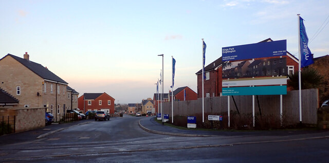
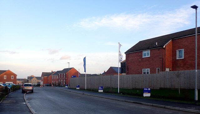
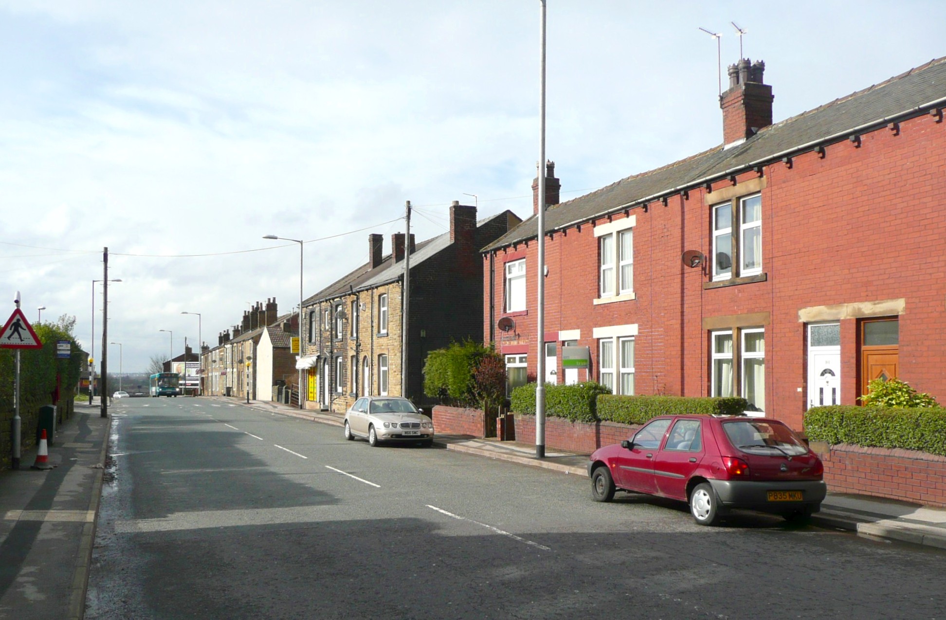
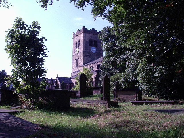
Gildersome has a rich history dating back to the 13th century when it was mentioned in historical records. Originally an agricultural community, the village experienced significant industrial development during the 19th century with the establishment of coal mines and textile mills. Today, Gildersome has transformed into a primarily residential area, offering a peaceful and charming environment for its residents.

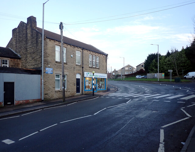
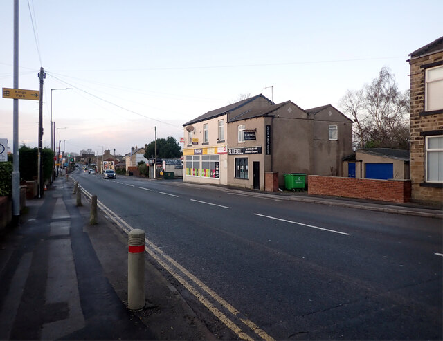
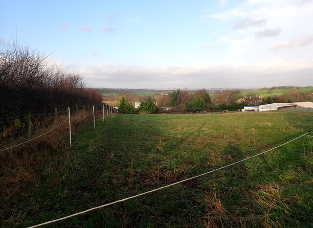
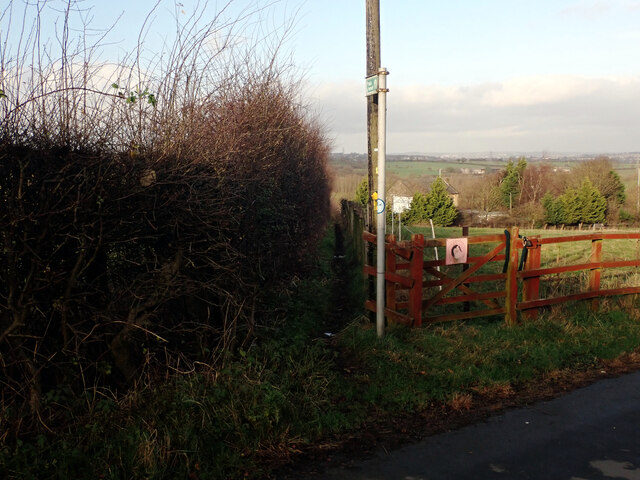
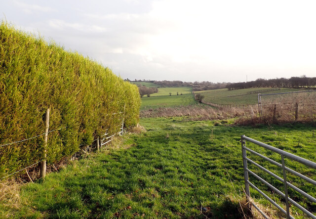
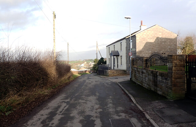
The village boasts a range of amenities, including local shops, pubs, and restaurants, providing all the essentials for residents. The village also benefits from being in close proximity to larger towns and cities, offering a wider selection of shopping and leisure options. Gildersome is also home to several green spaces, such as Gildersome Park and the nearby Birstall Smithies Local Nature Reserve, where residents can enjoy outdoor activities and walks.

Gildersome benefits from excellent transportation links. The nearby M62 motorway connects the village to major cities such as Leeds, Manchester, and Hull, making it an ideal location for commuters. Public transportation is also readily available, with regular bus services connecting Gildersome to neighboring towns and nearby railway stations.

Overall, Gildersome offers a pleasant and convenient place to live, combining the tranquility of a village setting with easy access to nearby urban amenities.

If you have any feedback on the listing, please let us know in the comments section below.
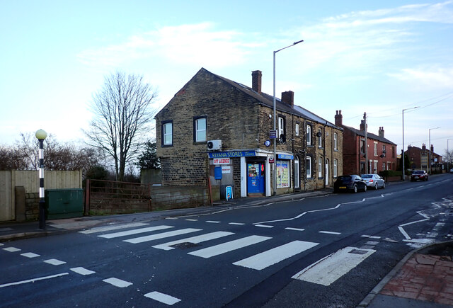
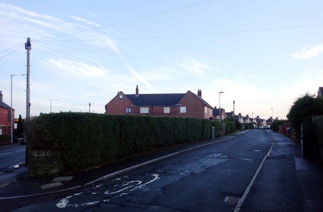
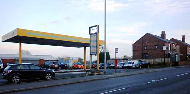
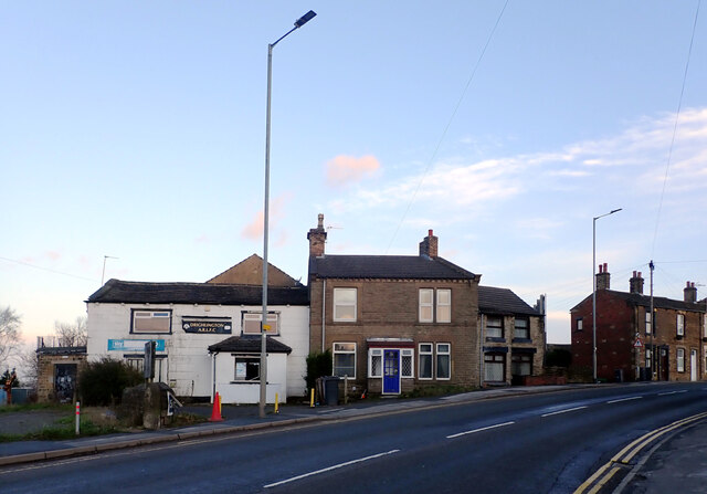
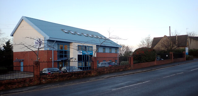
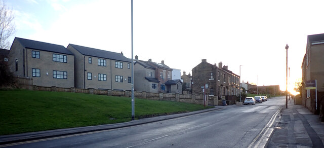
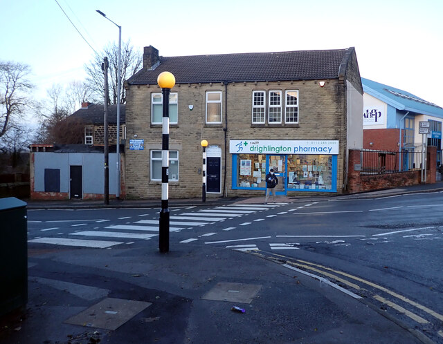
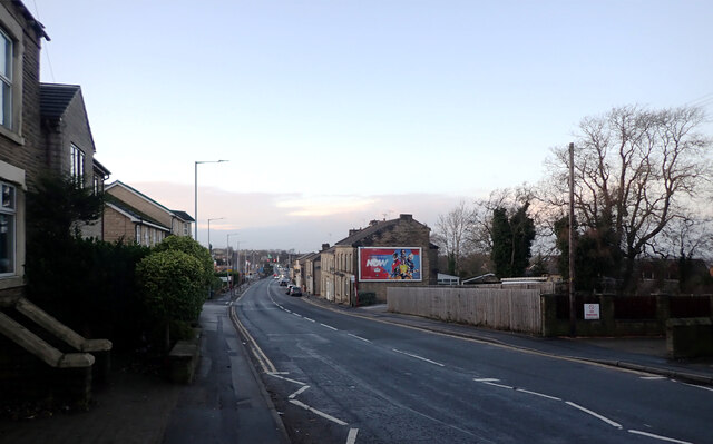
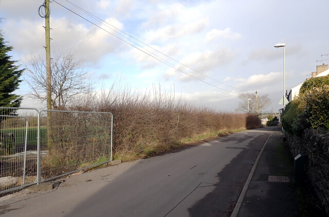
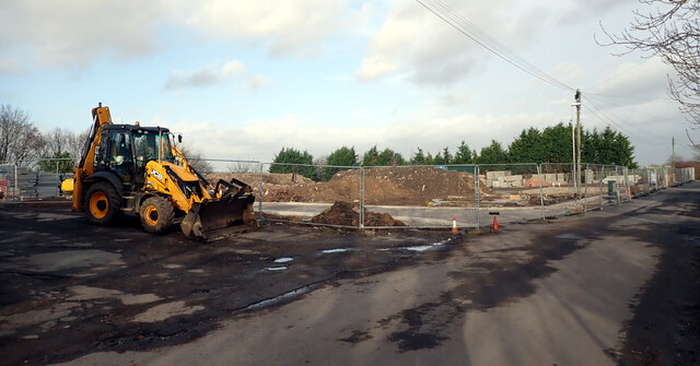
Gildersome Images

Images are sourced within 2km of 53.76137/-1.629845 or Grid Reference SE2429. Thanks to Geograph Open Source API. All images are credited.

Wakefield Road (B6135), Drighlington
Fairfax Avenue, Drighlington
Car Wash, Wakefield Road (B6135), Drighlington
Wakefield Road (B6135), Drighlington
Adwalton House Surgery, Wakefield Road (B6135), Drighlington
Moorside Road, Drighlington
Drighlington Pharmacy, King Street (B6135), Drighlington
King Street (B6135), Drighlington
The B6135 changing from King Street to Wakefield Road, Drighlington
King Street (B6135), Drighlington
Winterfell Road seen from King Street (B6135), Drighlington
Winterfell Road, Drighlington
View from Old Lane, Drighlington
Path to Whitehall Road leaving Old Lane, Drighlington
Path from Drighlington to Gildesome
Old Lane, Drighlington
Building site, Old Lane, Drighlington
Show me another place!

Gildersome is located at Grid Ref: SE2429 (Lat: 53.76137, Lng: -1.629845)

Division: West Riding

Unitary Authority: Leeds

Police Authority: West Yorkshire

What 3 Words

///those.return.hero. Near Gildersome, West Yorkshire

Related Wikis

Gildersome

Gildersome is a village and civil parish in the City of Leeds metropolitan borough 5 miles (7 km) south-west of Leeds city centre in West Yorkshire, England...

Gildersome West railway station

Gildersome West railway station served the village of Gildersome, West Yorkshire, England, from 1856 to 1968 on the Leeds, Bradford and Halifax Junction...

Gildersome East railway station

Gildersome East railway station served the village of Gildersome, West Yorkshire, England, from 1900 to 1921 on the Leeds New Line. == History == The station...

Municipal Borough of Morley

Morley was a local government district in the West Riding of Yorkshire. Apart from the town of Morley, it included Churwell (a separate Local Government...

Bruntcliffe Academy

Bruntcliffe Academy (formerly Bruntcliffe School) is a coeducational secondary school located in Morley, West Yorkshire, England. It is situated on Bruntcliffe...

Adwalton

Adwalton is a village in the City of Leeds metropolitan borough, West Yorkshire, England. It is 6 miles (9.7 km) south west of Leeds and is now generally...

Birstall Shopping Park

Birstall Shopping Park is a shopping park located in Birstall, Batley, West Yorkshire, England. It contains a wide variety of retailers and includes the...

Drighlington

Drighlington is a village and civil parish in the City of Leeds metropolitan district, West Yorkshire, England. Historically part of the West Riding of...

Nearby Amenities

Located within 500m of 53.76137,-1.629845
Gildersome
Is In: Leeds, West Yorkshire, United Kingdom
Place: village
Wikidata: Q2634063
Wikipedia: en:Gildersome
Lat/Long: 53.7595661/-1.6276364
Crossing
Crossing: unmarked
Crossing Island: yes
Lat/Long: 53.7581049/-1.6275624
Post Box
Operator: Royal Mail
Post Box Type: pillar
Ref: LS27 723
Royal Cypher: EIIR
Royal Cypher Wikidata: Q33102113
Lat/Long: 53.7575459/-1.6327613
Recycling
Operator: Leeds City Council
Recycling Clothes: yes
Recycling Paper: yes
Recycling Type: container
Lat/Long: 53.7576275/-1.6325897
Turning Circle
Lat/Long: 53.7585342/-1.6332335
Restaurant
Alishaan Indian Bistro
Addr City: Leeds
Addr Housenumber: 1-3
Addr Postcode: LS27 7DX
Addr Street: Finkle Lane
Addr Suburb: Gildersome
Cuisine: indian
Fhrs Id: 1135372
Old Name: Grameen Fusion
Lat/Long: 53.7576951/-1.627743
Post Box
Operator: Royal Mail
Post Box Type: pillar
Ref: LS27 592
Royal Cypher: GR
Royal Cypher Wikidata: Q33102273
Lat/Long: 53.7581806/-1.6283042
Telephone
Booth: KX100
Covered: booth
Lat/Long: 53.7582229/-1.6284915
Library
Gildersome Library
Wikidata: Q42892198
Lat/Long: 53.7581151/-1.6285907
Turning Circle
Lat/Long: 53.7604426/-1.6303744
Turning Circle
Lat/Long: 53.7600722/-1.63123
Post Box
Collection Times: Mo-Fr 09:00; Sa 07:00
Operator: Royal Mail
Post Box Type: lamp
Ref: LS27 640D
Royal Cypher: GVIR
Royal Cypher Wikidata: Q33102169
Source: survey
Lat/Long: 53.7631794/-1.6336876
Turning Circle
Lat/Long: 53.7623907/-1.6357008
Post Box
Collection Times: Mo-Fr 09:00; Sa 07:00
Operator: Royal Mail
Post Box Type: lamp
Ref: LS27 274D
Royal Cypher: EIIR
Royal Cypher Wikidata: Q33102113
Lat/Long: 53.7604997/-1.6359499
Traffic Calming: chicane
Lat/Long: 53.7584238/-1.629003
Gildersome War Memorial
Historic: memorial
Memorial: war_memorial
Lat/Long: 53.7581043/-1.626843
Fast Food
Ocean Wild Fish Bar
Addr City: Leeds
Addr Housenumber: 66
Addr Postcode: LS27 7AA
Addr Street: Town Street
Fhrs Id: 495555
Lat/Long: 53.7582866/-1.6278128
Bownass Newsagents
Shop: convenience
Lat/Long: 53.7580012/-1.6263035
Turning Circle
Lat/Long: 53.7592668/-1.6260817
Barrier: kissing_gate
Lat/Long: 53.7604679/-1.6277462
Bus Stop
Gildersome Green
Bench: yes
Bin: yes
Check Date Shelter: 2024-01-14
Local Ref: 45010359
Naptan AtcoCode: 450010359
Naptan Bearing: W
Naptan CommonName: Gildersome Green
Naptan Crossing: Finkle Lane
Naptan Indicator: Stop 45010359
Naptan Landmark: Gildersome Hall
Naptan PlusbusZoneRef: LEEDS
Naptan ShortCommonName: Gildersome Green
Naptan Street: Town Street
Naptan Verified: yes
Shelter: yes
Source: naptan_import
Timetable: yes
Lat/Long: 53.758243/-1.6286443
Bus Stop
Gildersome Green
Check Date Shelter: 2024-03-29
Local Ref: 45010360
Naptan AtcoCode: 450010360
Naptan Bearing: E
Naptan CommonName: Gildersome Green
Naptan Crossing: Mill Lane
Naptan Indicator: Stop 45010360
Naptan Landmark: Public Library
Naptan PlusbusZoneRef: LEEDS
Naptan ShortCommonName: Mill Lane
Naptan Street: Town Street
Naptan Verified: yes
Shelter: yes
Source: naptan_import
Timetable: yes
Lat/Long: 53.7583961/-1.6287491
Bus Stop
Town Street Forest Bank
Bench: no
Bin: yes
Check Date Shelter: 2024-01-14
Local Ref: 45010361
Naptan AtcoCode: 450010361
Naptan Bearing: E
Naptan CommonName: Town Street Forest Bank
Naptan Crossing: Forest Bank
Naptan Indicator: Stop 45010361
Naptan PlusbusZoneRef: LEEDS
Naptan ShortCommonName: Forest Bank
Naptan Street: Town Street
Naptan Verified: yes
Shelter: yes
Source: naptan_import
Tactile Paving: no
Timetable: yes
Lat/Long: 53.7590523/-1.6316708
Bus Stop
Street Lane Town Street
Bench: yes
Bin: no
Check Date Shelter: 2024-01-14
Lit: yes
Local Ref: 45010362
Naptan AtcoCode: 450010362
Naptan Bearing: S
Naptan CommonName: Street Lane Town Street
Naptan Crossing: Town Street
Naptan Indicator: Stop 45010362
Naptan PlusbusZoneRef: LEEDS
Naptan ShortCommonName: Town Street
Naptan Street: Street Lane
Naptan Verified: yes
Shelter: yes
Source: naptan_import
Tactile Paving: no
Timetable: yes
Lat/Long: 53.7585325/-1.6321759
Bus Stop
Church Street Gildersome
Local Ref: 45011774
Naptan AtcoCode: 450011774
Naptan Bearing: SE
Naptan CommonName: Church Street Gildersome
Naptan Crossing: Spring Avenue
Naptan Indicator: Stop 45011774
Naptan PlusbusZoneRef: LEEDS
Naptan ShortCommonName: Spring Avenue
Naptan Street: Church Street
Naptan Verified: no
Shelter: no
Source: naptan_import
Timetable: yes
Towards: Dewsbury, Drighlington, Morley
Lat/Long: 53.7597059/-1.6337886
Bus Stop
Church Street Spring Avenue
Local Ref: 45011775
Naptan AtcoCode: 450011775
Naptan Bearing: NW
Naptan CommonName: Church Street Spring Avenue
Naptan Crossing: Spring Avenue
Naptan Indicator: Stop 45011775
Naptan Landmark: Church
Naptan PlusbusZoneRef: LEEDS
Naptan ShortCommonName: Spring Avenue
Naptan Street: Church Street
Shelter: no
Source: naptan_import
Timetable: yes
Towards: Leeds, Pudsey
Lat/Long: 53.7593808/-1.6332606
Bus Stop
Moorland Avenue Spring Avenue
Local Ref: 45011786
Naptan AtcoCode: 450011786
Naptan Bearing: E
Naptan CommonName: Moorland Avenue Spring Avenue
Naptan Crossing: Spring Avenue
Naptan Indicator: Stop 45011786
Naptan PlusbusZoneRef: LEEDS
Naptan ShortCommonName: Spring Avenue
Naptan Street: Moorland Avenue
Naptan Verified: no
Source: naptan_import
Lat/Long: 53.7632932/-1.634076
Bus Stop
Moorland Avenue Spring Avenue
Local Ref: 45011787
Naptan AtcoCode: 450011787
Naptan Bearing: W
Naptan CommonName: Moorland Avenue Spring Avenue
Naptan Crossing: Spring Avenue
Naptan Indicator: Stop 45011787
Naptan PlusbusZoneRef: LEEDS
Naptan ShortCommonName: Spring Avenue
Naptan Street: Moorland Avenue
Naptan Verified: no
Source: naptan_import
Lat/Long: 53.7632484/-1.6341219
Bus Stop
Spring Avenue Church Avenue
Local Ref: 45011788
Naptan AtcoCode: 450011788
Naptan Bearing: S
Naptan CommonName: Spring Avenue Church Avenue
Naptan Crossing: Church Avenue
Naptan Indicator: Stop 45011788
Naptan PlusbusZoneRef: LEEDS
Naptan ShortCommonName: Church Avenue
Naptan Street: Spring Avenue
Naptan Verified: no
Source: naptan_import
Lat/Long: 53.7616826/-1.6335287
Bus Stop
Spring Avenue Church Avenue
Local Ref: 45011789
Naptan AtcoCode: 450011789
Naptan Bearing: N
Naptan CommonName: Spring Avenue Church Avenue
Naptan Crossing: Church Avenue
Naptan Indicator: Stop 45011789
Naptan PlusbusZoneRef: LEEDS
Naptan ShortCommonName: Church Avenue
Naptan Street: Spring Avenue
Naptan Verified: no
Source: naptan_import
Lat/Long: 53.761638/-1.6336505
Check Date: 2022-11-19
Traffic Calming: cushion
Lat/Long: 53.7581877/-1.6323956
Bench
Backrest: yes
Check Date: 2022-03-07
Lat/Long: 53.7599834/-1.6349903
Traffic Calming: hump
Lat/Long: 53.7575235/-1.6327043
Traffic Calming: cushion
Lat/Long: 53.7597412/-1.6339883
Bicycle Parking
Bicycle Parking: stands
Capacity: 2
Covered: no
Lat/Long: 53.7576555/-1.632716
Fast Food
Karen's Pantry
Addr City: Leeds
Addr Housenumber: 70
Addr Postcode: LS27 7AA
Addr Street: Town Street
Addr Suburb: Gildersome
Cuisine: sandwich
Fhrs Id: 837982
Lat/Long: 53.7582215/-1.6277016
Bicycle Parking
Bicycle Parking: stands
Capacity: 2
Covered: no
Lat/Long: 53.7577219/-1.6326919
Atm
Lat/Long: 53.7572311/-1.6284048
Gildersome Launderette
Addr City: Leeds
Addr Housenumber: 64
Addr Postcode: LS27 7AA
Addr Street: Town Street
Shop: laundry
Lat/Long: 53.7583182/-1.6279551
Bench
Backrest: yes
Lat/Long: 53.7581295/-1.6282287
Fast Food
Ugo Pizza
Addr City: Leeds
Addr Housenumber: 62
Addr Postcode: LS27 7AA
Addr Street: Town Street
Addr Suburb: Gildersome
Cuisine: pizza
Fhrs Id: 1060179
Lat/Long: 53.7583341/-1.6280409
Bench
Backrest: yes
Lat/Long: 53.758564/-1.6293284
Barrier: bollard
Lat/Long: 53.7591844/-1.6325352
Barrier: bollard
Lat/Long: 53.759162/-1.6324693
Barrier: bollard
Lat/Long: 53.7590137/-1.6319366
Barrier: bollard
Lat/Long: 53.7590032/-1.6318592
Barrier: bollard
Lat/Long: 53.7589619/-1.632177
Barrier: bollard
Lat/Long: 53.7589142/-1.6321929
Crossing
Crossing: unmarked
Sloped Curb: yes;at_grade
Tactile Paving: yes
Lat/Long: 53.7591488/-1.6325261
Crossing
Crossing: unmarked
Sloped Curb: yes;at_grade
Tactile Paving: yes
Lat/Long: 53.7591988/-1.6324796
Waste Basket
Lat/Long: 53.759235/-1.6325053
Social Facility
St Peters Day Centre
Addr City: Leeds
Addr Housename: St Peters Church Centre
Addr Postcode: LS27 7AF
Addr Street: Church Street
Addr Suburb: Gildersome
Fhrs Id: 715344
Social Facility: outreach
Lat/Long: 53.7593075/-1.6335002
Social Facility
South Leeds Food Bank
Addr City: Leeds
Addr Housename: St Peters Church Centre
Addr Postcode: LS27 7AF
Addr Street: Church Street
Addr Suburb: Gildersome
Fhrs Id: 709110
Social Facility: food_bank
Lat/Long: 53.7592822/-1.6334116
Kindergarten
Kaleidoscope Day Nursery
Addr City: Leeds
Addr Housename: Gildersome Primary School
Addr Postcode: LS27 7AB
Addr Street: Town Street
Addr Suburb: Morley
Fhrs Id: 321494
Lat/Long: 53.7577456/-1.6302896
Defibrillator
Defibrillator Location: Front corner of library external wall
Emergency: defibrillator
Ref GB The Circuit: 12EE3B26-07BC-4C6B-8BBE-AD5D00AF16CB
Lat/Long: 53.7581484/-1.6286789
Man Made: survey_point
Lat/Long: 53.7604612/-1.6268601
Barrier: kissing_gate
Lat/Long: 53.7616928/-1.6246996
Waste Basket
Ref UK Leedscc Bin: 3094
Lat/Long: 53.758888/-1.631932
Waste Basket
Ref UK Leedscc Bin: 689
Lat/Long: 53.759134/-1.631667
Waste Basket
Ref UK Leedscc Bin: 3104
Lat/Long: 53.758236/-1.632495
Waste Basket
Ref UK Leedscc Bin: 3102
Lat/Long: 53.757888/-1.632382
Waste Basket
Ref UK Leedscc Bin: 687
Lat/Long: 53.760115/-1.634551
Waste Basket
Ref UK Leedscc Bin: 3103
Lat/Long: 53.757519/-1.632843
Waste Basket
Ref UK Leedscc Bin: 3368
Lat/Long: 53.758669/-1.62969
Waste Basket
Ref UK Leedscc Bin: 3363
Lat/Long: 53.758337/-1.629043
Waste Basket
Ref UK Leedscc Bin: 5051
Lat/Long: 53.761038/-1.630017
Waste Basket
Ref UK Leedscc Bin: 5053
Lat/Long: 53.761666/-1.632179
Waste Basket
Ref UK Leedscc Bin: 3290
Lat/Long: 53.758243/-1.628609
Waste Basket
Ref UK Leedscc Bin: 5052
Lat/Long: 53.761338/-1.630051
Waste Basket
Ref UK Leedscc Bin: 3289
Lat/Long: 53.75828/-1.628128
Waste Basket
Ref UK Leedscc Bin: 5055
Lat/Long: 53.757202/-1.62839
Waste Basket
Ref UK Leedscc Bin: 3364
Lat/Long: 53.757991/-1.627369
Waste Basket
Ref UK Leedscc Bin: 3279
Lat/Long: 53.758065/-1.626367
Waste Basket
Ref UK Leedscc Bin: 1391
Lat/Long: 53.758877/-1.625884
Waste Basket
Ref UK Leedscc Bin: 3365
Lat/Long: 53.757756/-1.625842
Waste Basket
Ref UK Leedscc Bin: 1390
Lat/Long: 53.758305/-1.625121
Waste Basket
Ref UK Leedscc Bin: 3366
Lat/Long: 53.758294/-1.625044
The data included in this document is from www.openstreetmap.org. The data is made available under ODbL.

Have you been to Gildersome?

Leave your review of Gildersome below (or comments, questions and feedback).