Moor Head

Settlement in Yorkshire

England

Moor Head

Wakefield Road (B6135), Drighlington
Wakefield Road (B6135), Drighlington Credit: habiloid

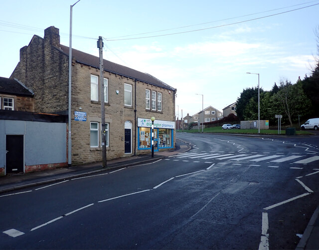
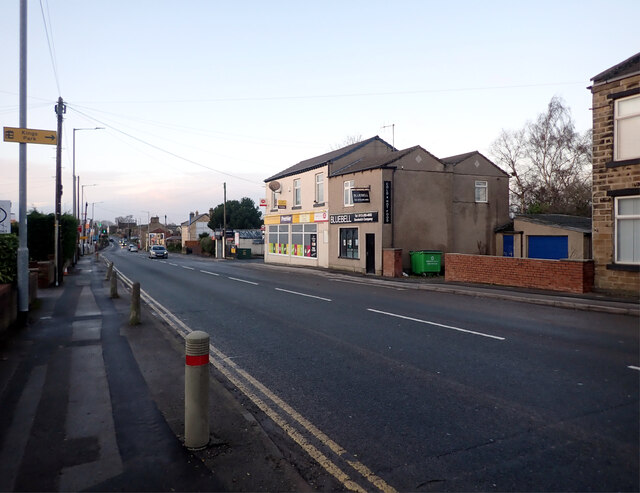
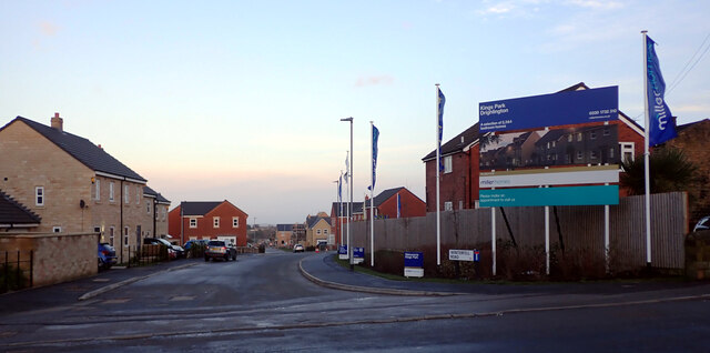
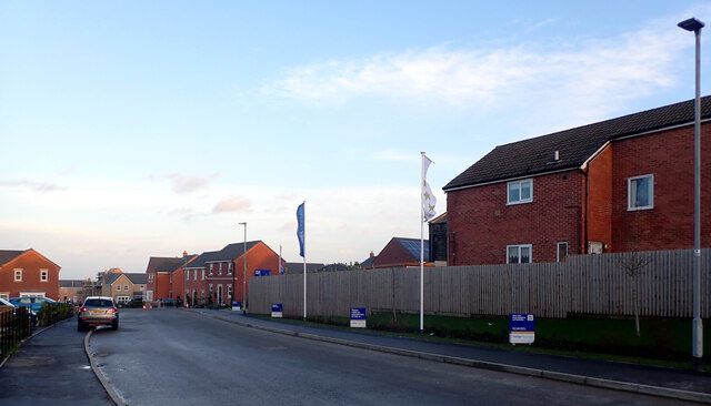
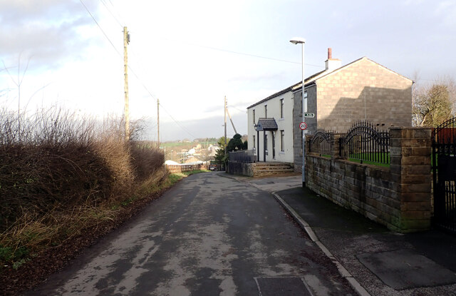
Moor Head is a small village located in the picturesque region of Yorkshire, England. Situated amidst rolling hills and lush greenery, this charming village offers a serene and idyllic setting for residents and visitors alike.

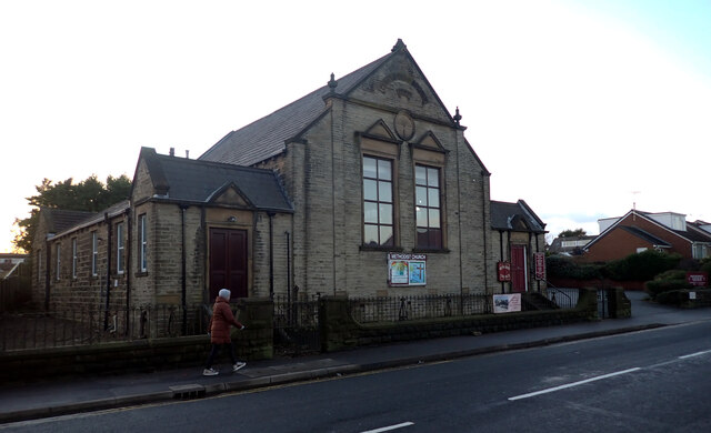
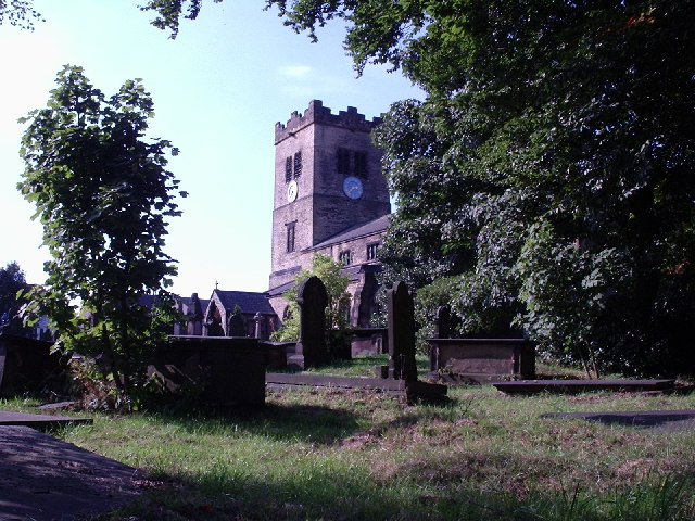
With a population of around 500 people, Moor Head boasts a close-knit community that takes pride in its rich history and heritage. The village is known for its traditional stone cottages, which add to its quaint and rustic charm. The local church, St. Mary's, stands as a prominent landmark, dating back several centuries.

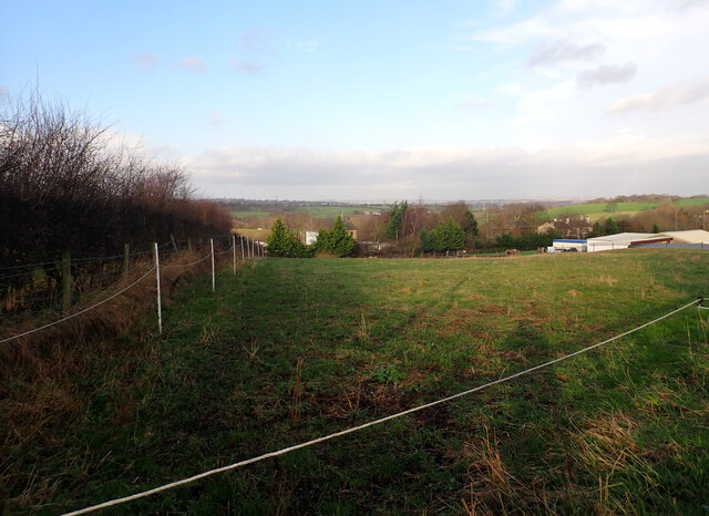
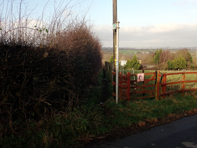
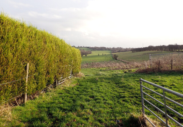
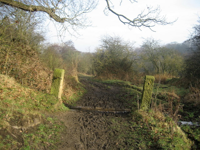
Nature lovers will find themselves immersed in the beauty of Moor Head, as the village is surrounded by expansive moorlands and breathtaking landscapes. Hiking and walking trails crisscross the area, providing opportunities for outdoor enthusiasts to explore the stunning scenery.

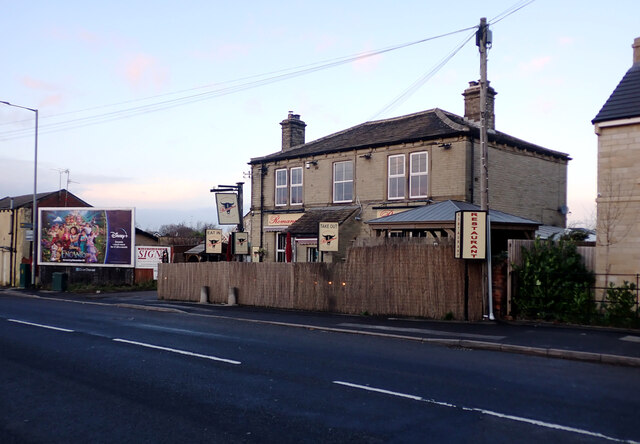
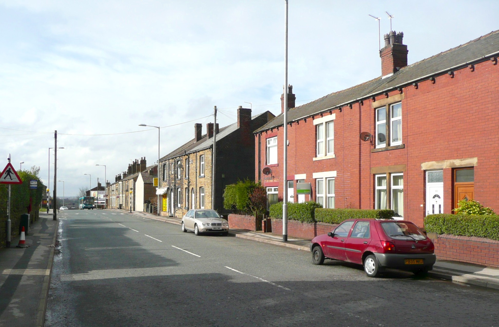
Despite its small size, Moor Head is well-served by amenities. The village has a local shop, post office, and a charming pub that serves traditional Yorkshire fare. For more extensive shopping and entertainment options, nearby towns and cities such as Leeds and York are easily accessible.

Moor Head is also known for its vibrant community events, including annual fairs and festivals that celebrate local traditions and customs. These events attract visitors from far and wide, adding to the village's lively atmosphere.

Overall, Moor Head offers a peaceful and picturesque retreat for those seeking an escape from the hustle and bustle of city life. Its scenic beauty, rich history, and welcoming community make it a hidden gem in the heart of Yorkshire.

If you have any feedback on the listing, please let us know in the comments section below.
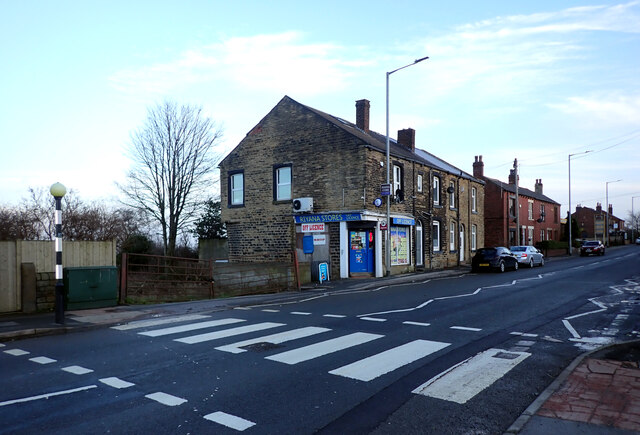
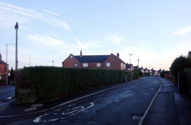
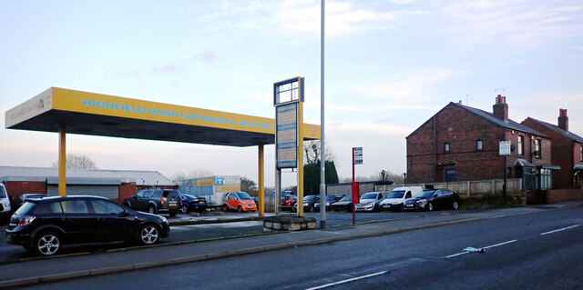
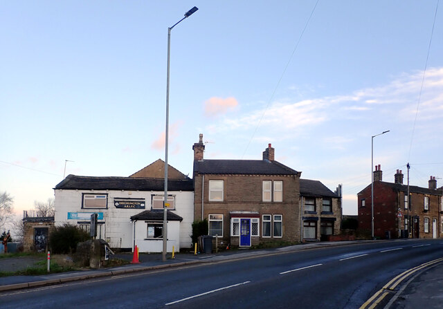
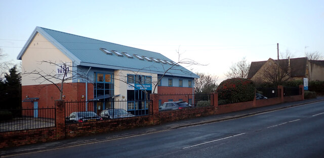
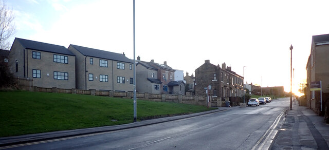
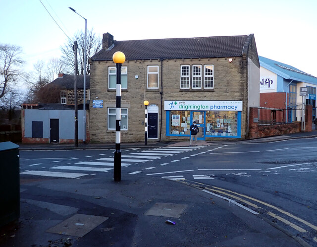
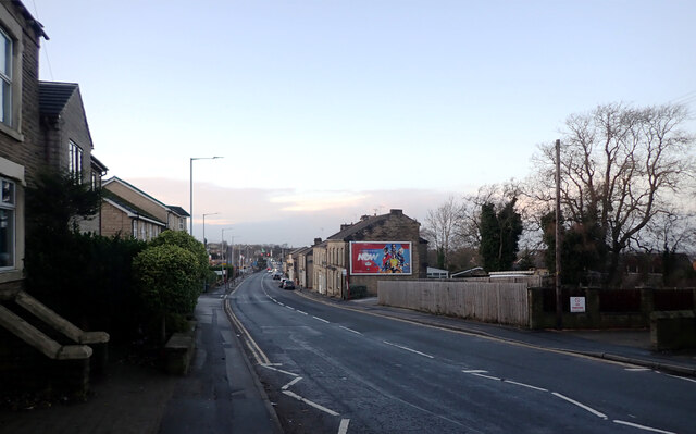
Moor Head Images

Images are sourced within 2km of 53.763997/-1.636649 or Grid Reference SE2429. Thanks to Geograph Open Source API. All images are credited.

Wakefield Road (B6135), Drighlington
Fairfax Avenue, Drighlington
Car Wash, Wakefield Road (B6135), Drighlington
Wakefield Road (B6135), Drighlington
Adwalton House Surgery, Wakefield Road (B6135), Drighlington
Moorside Road, Drighlington
Drighlington Pharmacy, King Street (B6135), Drighlington
King Street (B6135), Drighlington
The B6135 changing from King Street to Wakefield Road, Drighlington
King Street (B6135), Drighlington
Winterfell Road seen from King Street (B6135), Drighlington
Winterfell Road, Drighlington
Romano's Restaurant, King Street (B6135), Drighlington
Drighlington Methodist Church, King Street (B6135), Drighlington
View from Old Lane, Drighlington
Path to Whitehall Road leaving Old Lane, Drighlington
Path from Drighlington to Gildesome
Old Lane, Drighlington
Show me another place!

Moor Head is located at Grid Ref: SE2429 (Lat: 53.763997, Lng: -1.636649)

Division: West Riding

Unitary Authority: Leeds

Police Authority: West Yorkshire

What 3 Words

///zone.cute.sage. Near Gildersome, West Yorkshire

Related Wikis

Gildersome

Gildersome is a village and civil parish in the City of Leeds metropolitan borough 5 miles (7 km) south-west of Leeds city centre in West Yorkshire, England...

Gildersome West railway station

Gildersome West railway station served the village of Gildersome, West Yorkshire, England, from 1856 to 1968 on the Leeds, Bradford and Halifax Junction...

Gildersome East railway station

Gildersome East railway station served the village of Gildersome, West Yorkshire, England, from 1900 to 1921 on the Leeds New Line. == History == The station...

Drighlington

Drighlington is a village and civil parish in the City of Leeds metropolitan district, West Yorkshire, England. Historically part of the West Riding of...

Adwalton

Adwalton is a village in the City of Leeds metropolitan borough, West Yorkshire, England. It is 6 miles (9.7 km) south west of Leeds and is now generally...

Municipal Borough of Morley

Morley was a local government district in the West Riding of Yorkshire. Apart from the town of Morley, it included Churwell (a separate Local Government...

Cockersdale

Cockersdale is a location near Tong, south-west of Leeds, West Yorkshire, England. The Leeds Country Way follows the valley known as Cockers Dale, along...

Birstall Shopping Park

Birstall Shopping Park is a shopping park located in Birstall, Batley, West Yorkshire, England. It contains a wide variety of retailers and includes the...

Nearby Amenities

Located within 500m of 53.763997,-1.636649
Traffic Calming: cushion
Lat/Long: 53.7621299/-1.6399645
Turning Circle
Lat/Long: 53.7601871/-1.639226
Turning Circle
Lat/Long: 53.7638435/-1.6383367
Post Box
Collection Times: Mo-Fr 09:00; Sa 07:00
Operator: Royal Mail
Post Box Type: lamp
Ref: LS27 640D
Royal Cypher: GVIR
Royal Cypher Wikidata: Q33102169
Source: survey
Lat/Long: 53.7631794/-1.6336876
Turning Circle
Lat/Long: 53.7623907/-1.6357008
Post Box
Collection Times: Mo-Fr 09:00; Sa 07:00
Operator: Royal Mail
Post Box Type: lamp
Ref: LS27 274D
Royal Cypher: EIIR
Royal Cypher Wikidata: Q33102113
Lat/Long: 53.7604997/-1.6359499
Bus Stop
Moorland Avenue Moorland Close
Local Ref: 45010364
Naptan AtcoCode: 450010364
Naptan Bearing: E
Naptan CommonName: Moorland Avenue Moorland Close
Naptan Crossing: Moorland Close
Naptan Indicator: Stop 45010364
Naptan PlusbusZoneRef: LEEDS
Naptan ShortCommonName: Moorland Close
Naptan Street: Moorland Avenue
Naptan Verified: no
Source: naptan_import
Lat/Long: 53.763384/-1.6373367
Bus Stop
Gildersome Lane Moorland Avenue
Bench: yes
Bin: no
Local Ref: 45010365
Naptan AtcoCode: 450010365
Naptan Bearing: S
Naptan CommonName: Gildersome Lane Moorland Avenue
Naptan Crossing: Moorland Avenue
Naptan Indicator: Stop 45010365
Naptan PlusbusZoneRef: LEEDS
Naptan ShortCommonName: Moorland Avenue
Naptan Street: Gildersome Lane
Naptan Verified: no
Shelter: yes
Source: naptan_import
Tactile Paving: no
Lat/Long: 53.7634646/-1.6402183
Bus Stop
Scott Green Greenfield Avenue
Bench: no
Bin: no
Check Date Shelter: 2023-03-18
Local Ref: 45011777
Naptan AtcoCode: 450011777
Naptan Bearing: W
Naptan CommonName: Scott Green Greenfield Avenue
Naptan Crossing: Greenfield Avenue
Naptan Indicator: Stop 45011777
Naptan PlusbusZoneRef: LEEDS
Naptan ShortCommonName: Greenfield Avenue
Naptan Street: Scott Green
Naptan Verified: no
Shelter: no
Source: naptan_import
Tactile Paving: no
Lat/Long: 53.7609663/-1.6385234
Bus Stop
Gildersome Lane New Lane
Local Ref: 45011778
Naptan AtcoCode: 450011778
Naptan Bearing: N
Naptan CommonName: Gildersome Lane New Lane
Naptan Crossing: New Lane
Naptan Indicator: Stop 45011778
Naptan PlusbusZoneRef: LEEDS
Naptan ShortCommonName: New Lane
Naptan Street: Gildersome Lane
Naptan Verified: no
Source: naptan_import
Lat/Long: 53.7637079/-1.6404286
Bus Stop
Gildersome Lane
Bench: no
Bin: no
Local Ref: 45011779
Naptan AtcoCode: 450011779
Naptan Bearing: N
Naptan CommonName: Gildersome Lane
Naptan Crossing: Suffield Crescent
Naptan Indicator: Stop 45011779
Naptan PlusbusZoneRef: LEEDS
Naptan ShortCommonName: Suffield Road
Naptan Street: Gildersome Lane
Naptan Verified: no
Shelter: no
Source: naptan_import
Tactile Paving: no
Lat/Long: 53.7649038/-1.6405853
Bus Stop
Gildersome Lane
Local Ref: 45011780
Naptan AtcoCode: 450011780
Naptan Bearing: S
Naptan CommonName: Gildersome Lane
Naptan Crossing: Adj Suffield Crescent
Naptan Indicator: Stop 45011780
Naptan PlusbusZoneRef: LEEDS
Naptan ShortCommonName: Gildersome Lane
Naptan Street: Gildersome Lane
Naptan Verified: no
Source: naptan_import
Lat/Long: 53.7652717/-1.6403849
Bus Stop
Gildersome Lane
Local Ref: 45011781
Naptan AtcoCode: 450011781
Naptan Bearing: NE
Naptan CommonName: Gildersome Lane
Naptan Crossing: Nr-At Whitehall Road
Naptan Indicator: Stop 45011781
Naptan Notes: At Appletree Cottage
Naptan PlusbusZoneRef: LEEDS
Naptan ShortCommonName: Whitehall Road
Naptan Street: Gildersome Lane
Naptan Verified: no
Source: naptan_import
Lat/Long: 53.7678164/-1.6388239
Bus Stop
Gildersome Lane Upper Moor Side
Bench: no
Bin: no
Local Ref: 45011782
Naptan AtcoCode: 450011782
Naptan Bearing: SW
Naptan CommonName: Gildersome Lane Upper Moor Side
Naptan Crossing: Adj Whitehall Road
Naptan Indicator: Stop 45011782
Naptan PlusbusZoneRef: LEEDS
Naptan ShortCommonName: Upper Moor Side
Naptan Street: Gildersome Lane
Naptan Verified: no
Shelter: no
Source: naptan_import
Tactile Paving: no
Lat/Long: 53.7679805/-1.638211
Bus Stop
Moorland Avenue
Local Ref: 45011784
Naptan AtcoCode: 450011784
Naptan Bearing: E
Naptan CommonName: Moorland Avenue
Naptan Crossing: Gildersome Lane
Naptan Indicator: Stop 45011784
Naptan PlusbusZoneRef: LEEDS
Naptan ShortCommonName: Gildersome Lane
Naptan Street: Moorland Avenue
Naptan Verified: no
Source: naptan_import
Lat/Long: 53.7633289/-1.6399464
Bus Stop
Moorland Avenue Moorland Close
Local Ref: 45011785
Naptan AtcoCode: 450011785
Naptan Bearing: W
Naptan CommonName: Moorland Avenue Moorland Close
Naptan Crossing: Moorland Close
Naptan Indicator: Stop 45011785
Naptan PlusbusZoneRef: LEEDS
Naptan ShortCommonName: Moorland Close
Naptan Street: Moorland Avenue
Naptan Verified: no
Source: naptan_import
Lat/Long: 53.7633497/-1.6378983
Bus Stop
Moorland Avenue Spring Avenue
Local Ref: 45011786
Naptan AtcoCode: 450011786
Naptan Bearing: E
Naptan CommonName: Moorland Avenue Spring Avenue
Naptan Crossing: Spring Avenue
Naptan Indicator: Stop 45011786
Naptan PlusbusZoneRef: LEEDS
Naptan ShortCommonName: Spring Avenue
Naptan Street: Moorland Avenue
Naptan Verified: no
Source: naptan_import
Lat/Long: 53.7632932/-1.634076
Bus Stop
Moorland Avenue Spring Avenue
Local Ref: 45011787
Naptan AtcoCode: 450011787
Naptan Bearing: W
Naptan CommonName: Moorland Avenue Spring Avenue
Naptan Crossing: Spring Avenue
Naptan Indicator: Stop 45011787
Naptan PlusbusZoneRef: LEEDS
Naptan ShortCommonName: Spring Avenue
Naptan Street: Moorland Avenue
Naptan Verified: no
Source: naptan_import
Lat/Long: 53.7632484/-1.6341219
Bus Stop
Spring Avenue Church Avenue
Local Ref: 45011788
Naptan AtcoCode: 450011788
Naptan Bearing: S
Naptan CommonName: Spring Avenue Church Avenue
Naptan Crossing: Church Avenue
Naptan Indicator: Stop 45011788
Naptan PlusbusZoneRef: LEEDS
Naptan ShortCommonName: Church Avenue
Naptan Street: Spring Avenue
Naptan Verified: no
Source: naptan_import
Lat/Long: 53.7616826/-1.6335287
Bus Stop
Spring Avenue Church Avenue
Local Ref: 45011789
Naptan AtcoCode: 450011789
Naptan Bearing: N
Naptan CommonName: Spring Avenue Church Avenue
Naptan Crossing: Church Avenue
Naptan Indicator: Stop 45011789
Naptan PlusbusZoneRef: LEEDS
Naptan ShortCommonName: Church Avenue
Naptan Street: Spring Avenue
Naptan Verified: no
Source: naptan_import
Lat/Long: 53.761638/-1.6336505
Barrier: motorcycle_barrier
Lat/Long: 53.759856/-1.6389251
Barrier: cycle_barrier
Lat/Long: 53.7598783/-1.6383449
Bench
Backrest: yes
Check Date: 2022-03-07
Lat/Long: 53.7599834/-1.6349903
Traffic Calming: cushion
Lat/Long: 53.7628722/-1.6401211
Traffic Calming: cushion
Lat/Long: 53.760956/-1.6380689
Turning Circle
Lat/Long: 53.7637828/-1.6391152
Traffic Calming: cushion
Lat/Long: 53.7641215/-1.6404555
Traffic Calming: cushion
Lat/Long: 53.7652716/-1.6404617
Waste Basket
Ref UK Leedscc Bin: 687
Lat/Long: 53.760115/-1.634551
Waste Basket
Ref UK Leedscc Bin: 5053
Lat/Long: 53.761666/-1.632179
Waste Basket
Ref UK Leedscc Bin: 686
Lat/Long: 53.760905/-1.639047
The data included in this document is from www.openstreetmap.org. The data is made available under ODbL.

Have you been to Moor Head?

Leave your review of Moor Head below (or comments, questions and feedback).