Moor Monkton

Settlement in Yorkshire Harrogate

England

Moor Monkton

Beningborough Hall Beningborough Hall was built in the early 18th century and is Grade I listed, see: <span class="nowrap"><a title="https://historicengland.org.uk/listing/the-list/list-entry/1150998?section=official-list-entry" rel="nofollow ugc noopener" href="https://historicengland.org.uk/listing/the-list/list-entry/1150998?section=official-list-entry">Link</a><img style="margin-left:2px;" alt="External link" title="External link - shift click to open in new window" src="https://s1.geograph.org.uk/img/external.png" width="10" height="10"/></span>  Today the house is in the care of the National Trust.
Beningborough Hall Credit: Philip Halling

Moor Monkton is a small village located in the county of Yorkshire, England. Situated approximately 10 miles northeast of the historic city of York, Moor Monkton is nestled amidst the picturesque Yorkshire countryside. The village is part of the Harrogate district and lies on the banks of the River Nidd, providing residents and visitors with stunning natural scenery.

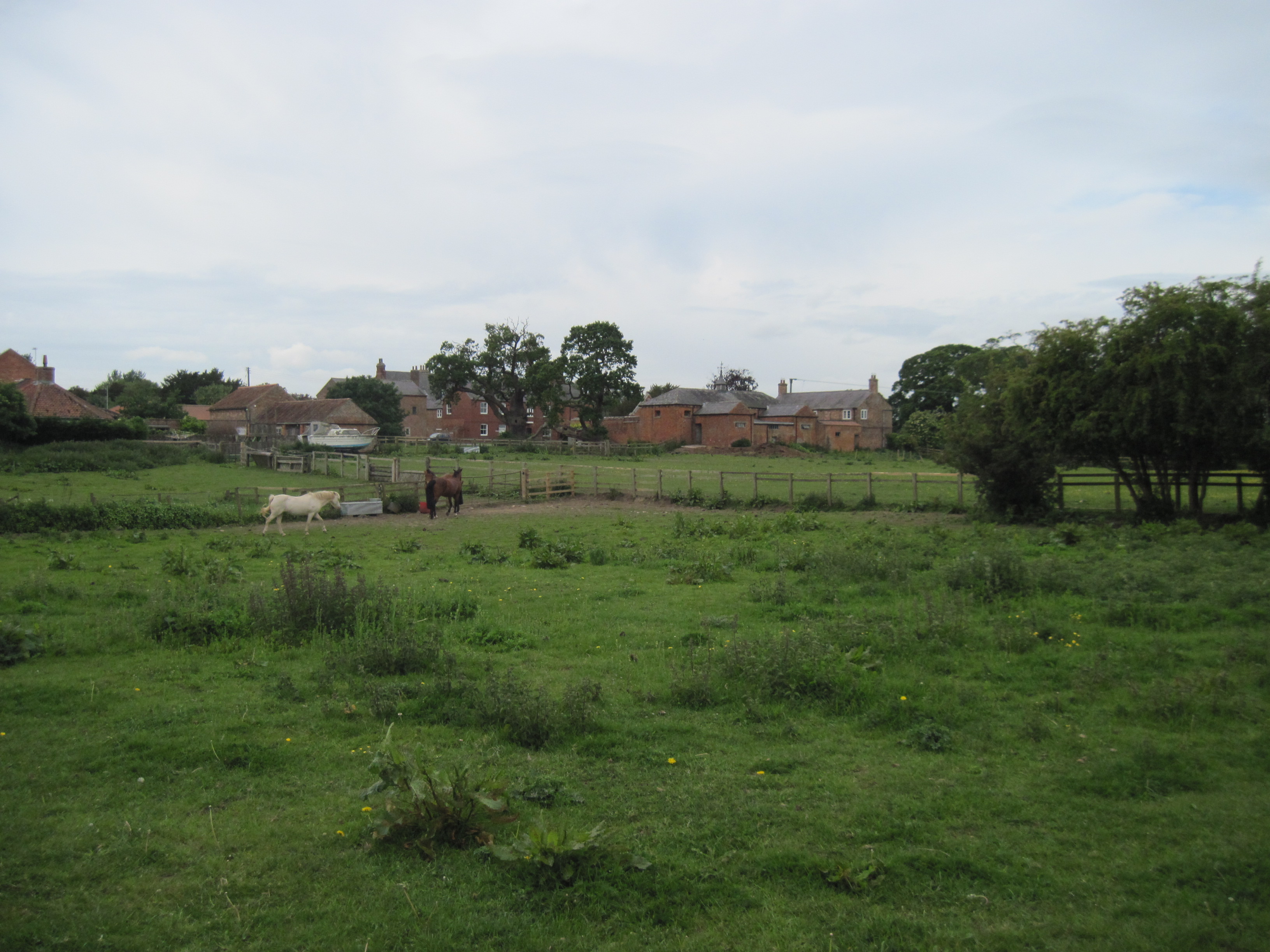
Moor Monkton is a quiet and charming village, known for its idyllic rural setting. The village is characterized by its traditional stone-built houses and cottages, which add to its quintessential English charm. The community in Moor Monkton is close-knit and friendly, with a population of around 200 residents.

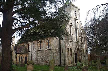
The village boasts a rich history, dating back to medieval times. It was mentioned in the Domesday Book of 1086 and has since witnessed various historical events. Moor Monkton is home to a Grade II listed church, St. Peter's, which dates back to the 12th century. The church is renowned for its beautiful stained glass windows and architectural features, making it a popular attraction for history enthusiasts and visitors.

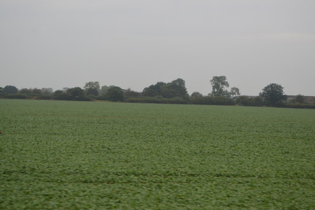
Surrounded by fertile farmland, Moor Monkton offers ample opportunities for outdoor activities such as walking, cycling, and horse riding. The village is also known for its nearby nature reserves, including the Moor Monkton Pools and the Lower Derwent Valley National Nature Reserve, which provide habitats for a diverse range of wildlife.

Overall, Moor Monkton is a charming village that offers a peaceful retreat from the bustling city life. With its picturesque countryside, historic landmarks, and friendly community, it is a hidden gem in the heart of Yorkshire.

If you have any feedback on the listing, please let us know in the comments section below.
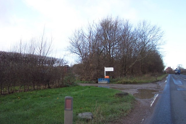
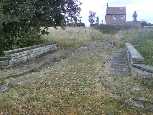
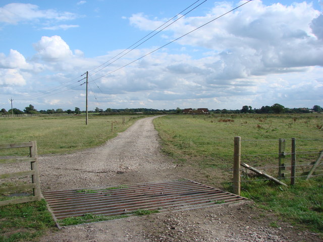
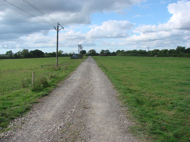
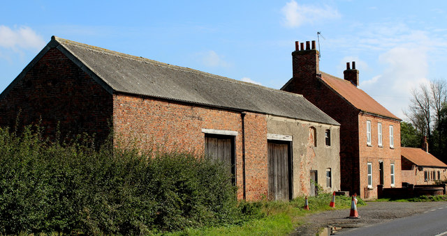
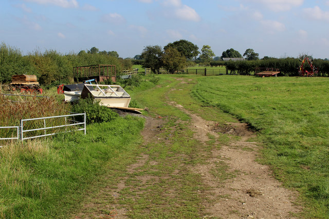
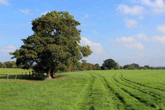
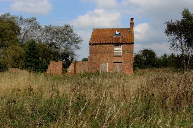
Moor Monkton Images

Images are sourced within 2km of 54.005307/-1.227399 or Grid Reference SE5056. Thanks to Geograph Open Source API. All images are credited.

Beningborough Hall Beningborough Hall was built in the early 18th century and is Grade I listed, see: <span class="nowrap"><a title="https://historicengland.org.uk/listing/the-list/list-entry/1150998?section=official-list-entry" rel="nofollow ugc noopener" href="https://historicengland.org.uk/listing/the-list/list-entry/1150998?section=official-list-entry">Link</a><img style="margin-left:2px;" alt="External link" title="External link - shift click to open in new window" src="https://s1.geograph.org.uk/img/external.png" width="10" height="10"/></span>  Today the house is in the care of the National Trust.
Beningborough Hall
Beningborough Hall was built in the early 18th century and is Grade I listed, see: LinkExternal link Today the house is in the care of the National Trust.
Beningborough Hall Beningborough Hall viewed from the north.  The house was built in the early 18th century and is Grade I listed, see: <span class="nowrap"><a title="https://historicengland.org.uk/listing/the-list/list-entry/1150998?section=official-list-entry" rel="nofollow ugc noopener" href="https://historicengland.org.uk/listing/the-list/list-entry/1150998?section=official-list-entry">Link</a><img style="margin-left:2px;" alt="External link" title="External link - shift click to open in new window" src="https://s1.geograph.org.uk/img/external.png" width="10" height="10"/></span>  Today the house is in the care of the National Trust.
Beningborough Hall
Beningborough Hall viewed from the north. The house was built in the early 18th century and is Grade I listed, see: LinkExternal link Today the house is in the care of the National Trust.
Beningborough Hall The west end of Beningborough Hall.  The house was built in the early 18th century and is Grade I listed, see: <span class="nowrap"><a title="https://historicengland.org.uk/listing/the-list/list-entry/1150998?section=official-list-entry" rel="nofollow ugc noopener" href="https://historicengland.org.uk/listing/the-list/list-entry/1150998?section=official-list-entry">Link</a><img style="margin-left:2px;" alt="External link" title="External link - shift click to open in new window" src="https://s1.geograph.org.uk/img/external.png" width="10" height="10"/></span>  Today the house is in the care of the National Trust.
Beningborough Hall
The west end of Beningborough Hall. The house was built in the early 18th century and is Grade I listed, see: LinkExternal link Today the house is in the care of the National Trust.
Beningborough Hall Beningborough Hall viewed from the north.  The house was built in the early 18th century and is Grade I listed, see: <span class="nowrap"><a title="https://historicengland.org.uk/listing/the-list/list-entry/1150998?section=official-list-entry" rel="nofollow ugc noopener" href="https://historicengland.org.uk/listing/the-list/list-entry/1150998?section=official-list-entry">Link</a><img style="margin-left:2px;" alt="External link" title="External link - shift click to open in new window" src="https://s1.geograph.org.uk/img/external.png" width="10" height="10"/></span>  Today the house is in the care of the National Trust.
Beningborough Hall
Beningborough Hall viewed from the north. The house was built in the early 18th century and is Grade I listed, see: LinkExternal link Today the house is in the care of the National Trust.
Pavilion, Beningborough Hall A pair of Pavilions flanked Beningborough Hall on the north side.  Here the east Pavilion is framed by the arch of the west Pavilion.  The hall and the pavilions are Grade I listed, see: <span class="nowrap"><a title="https://historicengland.org.uk/listing/the-list/list-entry/1150998?section=official-list-entry" rel="nofollow ugc noopener" href="https://historicengland.org.uk/listing/the-list/list-entry/1150998?section=official-list-entry">Link</a><img style="margin-left:2px;" alt="External link" title="External link - shift click to open in new window" src="https://s1.geograph.org.uk/img/external.png" width="10" height="10"/></span>  The property is in the care of the National Trust.
Pavilion, Beningborough Hall
A pair of Pavilions flanked Beningborough Hall on the north side. Here the east Pavilion is framed by the arch of the west Pavilion. The hall and the pavilions are Grade I listed, see: LinkExternal link The property is in the care of the National Trust.
Pavilion, Beningborough Hall The west Pavilion, one of a pair flanking Beningborough Hall on the north side of the house.  The hall and the pavilions are Grade I listed, see: <span class="nowrap"><a title="https://historicengland.org.uk/listing/the-list/list-entry/1150998?section=official-list-entry" rel="nofollow ugc noopener" href="https://historicengland.org.uk/listing/the-list/list-entry/1150998?section=official-list-entry">Link</a><img style="margin-left:2px;" alt="External link" title="External link - shift click to open in new window" src="https://s1.geograph.org.uk/img/external.png" width="10" height="10"/></span>  The property is in the care of the National Trust.
Pavilion, Beningborough Hall
The west Pavilion, one of a pair flanking Beningborough Hall on the north side of the house. The hall and the pavilions are Grade I listed, see: LinkExternal link The property is in the care of the National Trust.
Beningborough Hall Beningborough Hall viewed from through the arch of the west Pavilion.  The house was built in the early 18th century and is Grade I listed, see: <span class="nowrap"><a title="https://historicengland.org.uk/listing/the-list/list-entry/1150998?section=official-list-entry" rel="nofollow ugc noopener" href="https://historicengland.org.uk/listing/the-list/list-entry/1150998?section=official-list-entry">Link</a><img style="margin-left:2px;" alt="External link" title="External link - shift click to open in new window" src="https://s1.geograph.org.uk/img/external.png" width="10" height="10"/></span>  Today the house is in the care of the National Trust.
Beningborough Hall
Beningborough Hall viewed from through the arch of the west Pavilion. The house was built in the early 18th century and is Grade I listed, see: LinkExternal link Today the house is in the care of the National Trust.
Doorway, Beningborough Hall An ornate doorway on the south front of Beningborough Hall.
Doorway, Beningborough Hall
An ornate doorway on the south front of Beningborough Hall.
Agricultural buildings at Carlton Farm Possibly a Dairy unit, given on map as Monk's Approach (Nun Monkton)
Agricultural buildings at Carlton Farm
Possibly a Dairy unit, given on map as Monk's Approach (Nun Monkton)
Trotters Farm Aptly named Pig Farm by the A59 York to Harrogate road.
Trotters Farm
Aptly named Pig Farm by the A59 York to Harrogate road.
Smart bridge and derelict house Residing in an overgrown field close to Trotters Farm this smart bridge forms part of the footpath from Wilstrop Lodge Farm.
Smart bridge and derelict house
Residing in an overgrown field close to Trotters Farm this smart bridge forms part of the footpath from Wilstrop Lodge Farm.
Cattle grid on the  track to Westfield Farm
Cattle grid on the track to Westfield Farm
Track to Pool Lane seen from the cattle grid near Westfield Farm.
Skip Bridge Inn Farm Farming operation on the A59 Harrogate/York Road
Skip Bridge Inn Farm
Farming operation on the A59 Harrogate/York Road
Footpath heading North East from Skip Bridge Inn Farm Public footpath heading towards Moor Monkton
Footpath heading North East from Skip Bridge Inn Farm
Public footpath heading towards Moor Monkton
Public Footpath heading for Moor Monkton The footpath is not visible on the ground, but follows the fence on its journey between Skip Bridge and Moor Monkton.
Public Footpath heading for Moor Monkton
The footpath is not visible on the ground, but follows the fence on its journey between Skip Bridge and Moor Monkton.
Abandoned House near Trotters Farm Standing alone in an uncultivated field, dominated by thistles and with no apparent means of access, save a footpath.
Abandoned House near Trotters Farm
Standing alone in an uncultivated field, dominated by thistles and with no apparent means of access, save a footpath.
Field of crops
Field of crops
Show me another place!

Moor Monkton is located at Grid Ref: SE5056 (Lat: 54.005307, Lng: -1.227399)

Division: West Riding

Administrative County: North Yorkshire

District: Harrogate

Police Authority: North Yorkshire

What 3 Words

///trembles.liquid.songs. Near Linton upon Ouse, North Yorkshire

Nearby Locations

Moor Monkton White Flats

Related Wikis

Moor Monkton

Moor Monkton is a village and civil parish in the former Harrogate District of North Yorkshire, England. It is situated on the River Nidd and 7 miles...

All Saints' Church, Moor Monkton

All Saints' Church is the parish church of Moor Monkton, a village north-west of York in England. The church dates from the 12th century, when the nave...

Nun Monkton

Nun Monkton is a village and civil parish in the Harrogate district of North Yorkshire, England. It is situated 8 miles (13 km) northwest of York at the...

River Nidd

The River Nidd is a tributary of the River Ouse in the English county of North Yorkshire. In its first few miles it is dammed three times to create Angram...

St Mary's Church, Nun Monkton

St Mary's Church is the parish church of Nun Monkton, in North Yorkshire, in England. == History == Nun Monkton Priory was founded in 1172 by Ivetta of...

Red House, Moor Monkton

The Red House is a historic building in Moor Monkton, north-west of York in England. == History == The first Red House was constructed before 1342, when...

Wilstrop Siding railway station

Wilstrop railway station served Wilstrop and Skipbridge, North Yorkshire, England from 1865 to 1964 on the Harrogate line. == History == The station opened...

Marston Moor railway station

Marston Moor railway station served the village of Long Marston, North Yorkshire, England from 1848 to 1967 on the Harrogate line. == History == The station...

Nearby Amenities

Located within 500m of 54.005307,-1.227399
Moor Monkton
Place: village
Source: NPE
Wikidata: Q2412088
Wikipedia: en:Moor Monkton
Lat/Long: 54.005762/-1.22195
Post Box
Post Box Type: lamp
Lat/Long: 54.0054741/-1.2269504
Public Bookcase
Booth: K6
Disused Amenity: telephone
Man Made: telephone_box
Public Bookcase Type: phone_box
Lat/Long: 54.0054615/-1.226999
Defibrillator
Access: yes
Defibrillator Location: outside Old Schoolroom, Moor Monkton, YO26 8JA
Emergency: defibrillator
Indoor: no
Lat/Long: 54.0056649/-1.2267993
Waste Basket
Lat/Long: 54.0059457/-1.2203248
Barrier: cattle_grid
Lat/Long: 54.0060791/-1.2202708
Leisure: picnic_table
Lat/Long: 54.0060087/-1.2202819
Fixme: didnt see a gate or style
Lat/Long: 54.0032659/-1.2286643
The data included in this document is from www.openstreetmap.org. The data is made available under ODbL.

Have you been to Moor Monkton?

Leave your review of Moor Monkton below (or comments, questions and feedback).