White Flats
Downs, Moorland in Yorkshire Harrogate
England
White Flats
White Flats is a picturesque region located in Yorkshire, England, renowned for its stunning landscapes and unique geographical features. Situated amidst the vast expanse of the Yorkshire Downs and Moorland, White Flats offers visitors a serene and captivating experience.
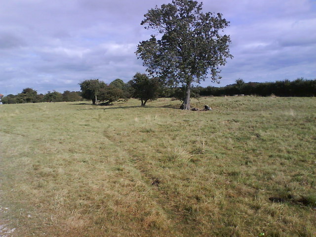
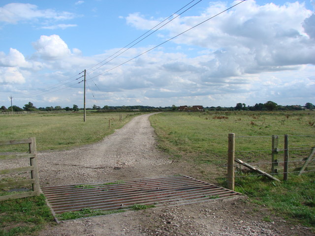
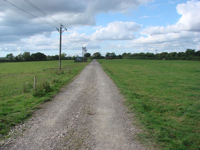
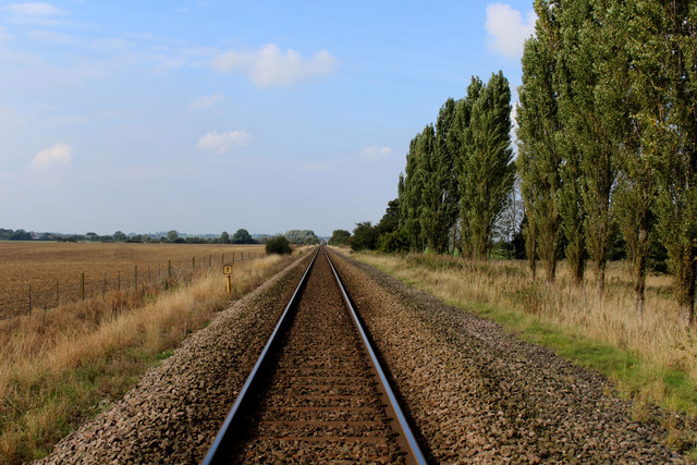
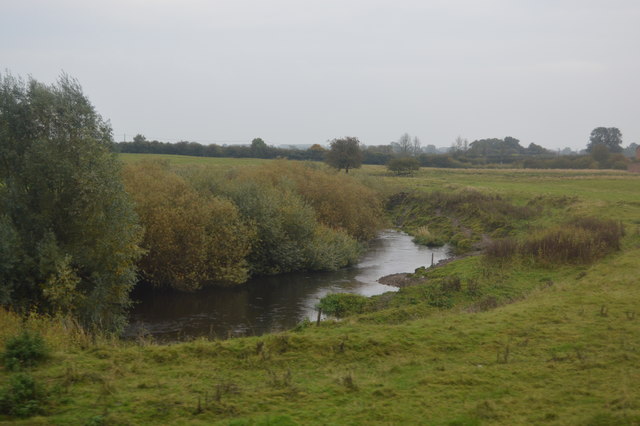
The region is characterized by its rolling hills, wide open spaces, and expansive grasslands. The downs provide a breathtaking backdrop, with their gentle slopes and undulating terrain, while the moorland offers a rugged and wild beauty, covered in heather and bracken. The combination of these contrasting landscapes creates a captivating mosaic of colors and textures.
White Flats is a haven for nature enthusiasts, as it is home to a rich diversity of flora and fauna. The downs are teeming with an array of wildflowers, including the vibrant yellow of buttercups and the delicate petals of bluebells. Birdwatchers can spot various species of birds, such as skylarks and kestrels, soaring above the moorland.
In addition to its natural beauty, White Flats also boasts a rich cultural heritage. The region is dotted with ancient stone circles, burial mounds, and other archaeological sites, offering a glimpse into its historical significance. Visitors can explore these remnants of the past and learn about the area's intriguing history.
Overall, White Flats in Yorkshire is a captivating destination that appeals to nature lovers, hikers, and history enthusiasts alike. Its combination of stunning landscapes, diverse wildlife, and cultural heritage make it a must-visit location for anyone seeking an authentic and immersive experience in the heart of England.
If you have any feedback on the listing, please let us know in the comments section below.
White Flats Images
Images are sourced within 2km of 53.998313/-1.2300742 or Grid Reference SE5056. Thanks to Geograph Open Source API. All images are credited.
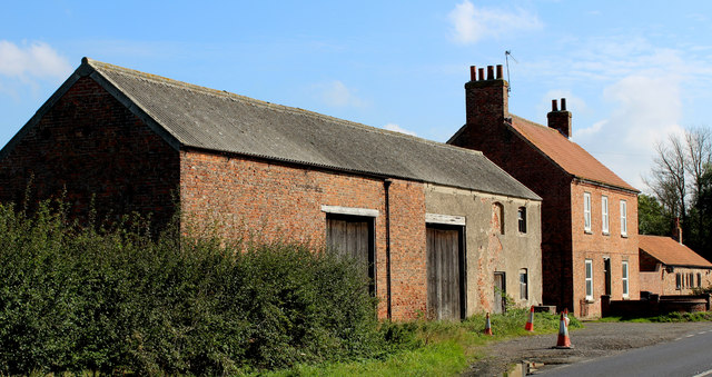
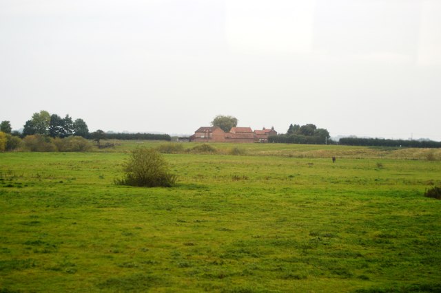
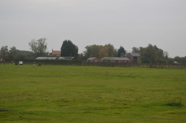
![Wilstrop Lodge Farm The title of 'farm' no longer applies as the run down buildings have been rebuilt and added to, and are now for sale as 'desirable country residences and barn conversions'. However, potential buyers might be put off by the sign on the approach road [see other photo in this square].](https://s2.geograph.org.uk/photos/76/99/769962_26cbed0c.jpg)
White Flats is located at Grid Ref: SE5056 (Lat: 53.998313, Lng: -1.2300742)
Division: West Riding
Administrative County: North Yorkshire
District: Harrogate
Police Authority: North Yorkshire
What 3 Words
///tickling.interval.derailed. Near Nether Poppleton, North Yorkshire
Nearby Locations
Related Wikis

All Saints' Church, Moor Monkton
All Saints' Church is the parish church of Moor Monkton, a village north-west of York in England. The church dates from the 12th century, when the nave...

Moor Monkton
Moor Monkton is a village and civil parish in the former Harrogate District of North Yorkshire, England. It is situated on the River Nidd and 7 miles...

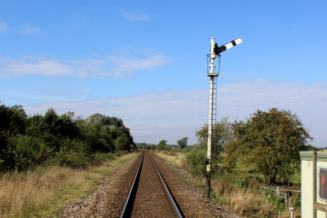
Marston Moor railway station
Marston Moor railway station served the village of Long Marston, North Yorkshire, England from 1848 to 1967 on the Harrogate line. == History == The station...

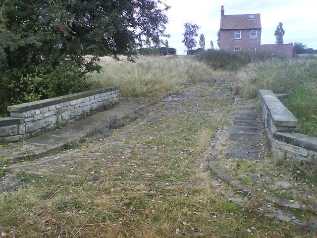
Wilstrop Siding railway station
Wilstrop railway station served Wilstrop and Skipbridge, North Yorkshire, England from 1865 to 1964 on the Harrogate line. == History == The station opened...
Nearby Amenities
Located within 500m of 53.998313,-1.2300742Have you been to White Flats?
Leave your review of White Flats below (or comments, questions and feedback).