Gildingwells

Civil Parish in Yorkshire Rotherham

England

Gildingwells

St Peter's Church, Letwell The church was built around 1375 by John Mauleverer but has been substantially altered several times since. Much of the church was rebuilt in 1820, at the expense of Henry Gally Knight, the owner of Firbeck Hall. In 1867 the church suffered a devastating fire.
St Peter's Church, Letwell Credit: Neil Theasby

Gildingwells is a small civil parish located in the county of Yorkshire, England. Situated near the town of Worksop, it covers an area of approximately 4 square miles and has a population of around 200 residents.

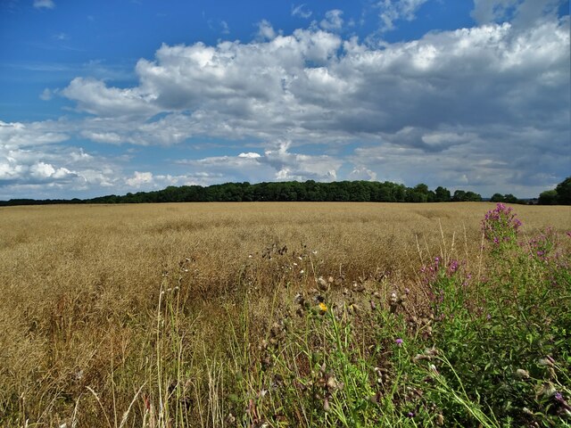
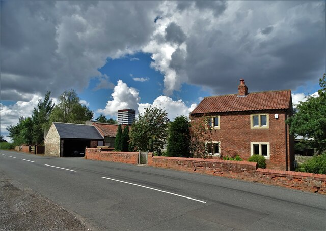
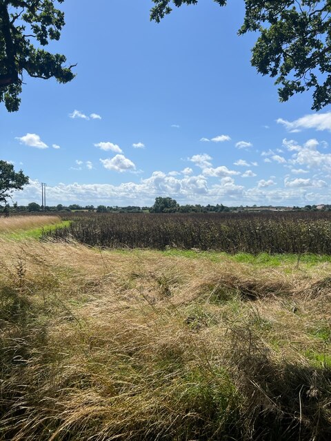
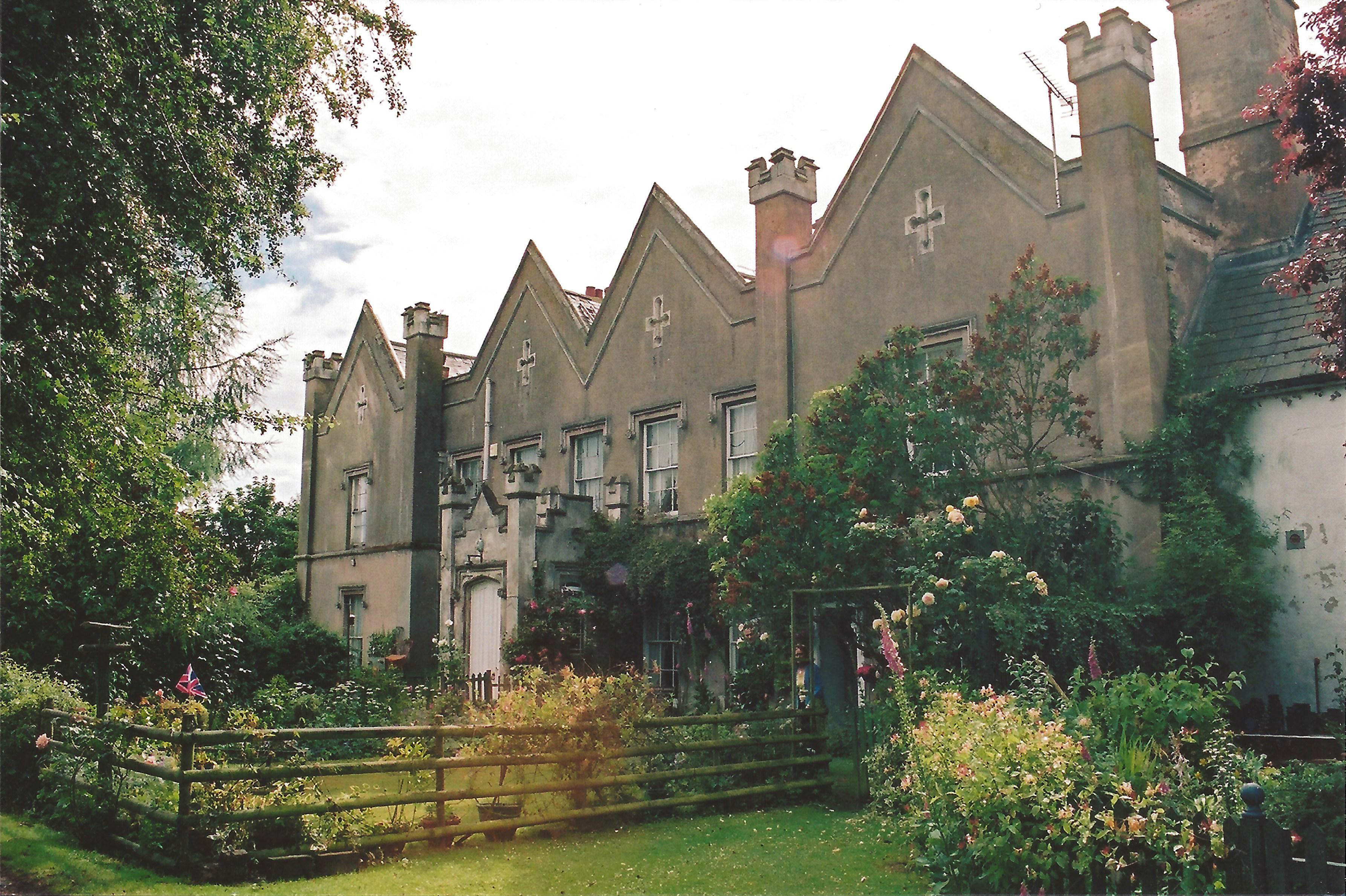
The parish is characterized by its picturesque rural setting, with rolling hills, lush green fields, and scattered woodland. It is surrounded by charming countryside, offering breathtaking views and a peaceful atmosphere.

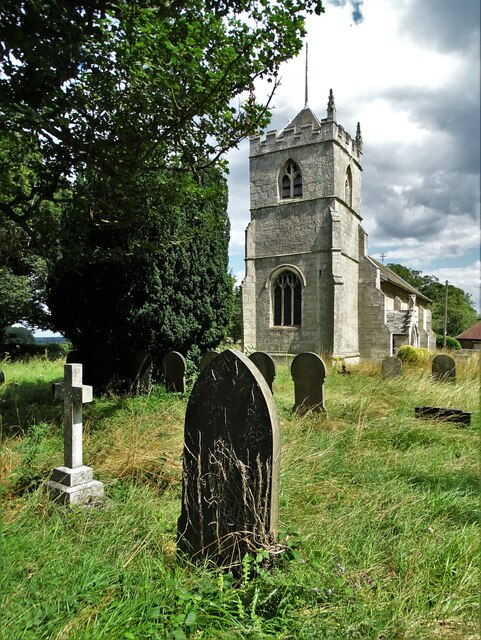
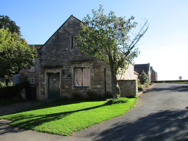
Gildingwells has a rich history that dates back centuries. The name itself is derived from Old English, meaning "golden springs," which suggests the presence of a natural water source in the area. The parish has a number of historic buildings and landmarks, including St. John's Church, a beautiful 12th-century structure that serves as the focal point of the community.

Despite its small size, Gildingwells offers a range of amenities and services for its residents. There is a local primary school, providing education for the younger population, as well as a village hall that serves as a hub for social gatherings and events. The parish also has a few local businesses, including a small convenience store and a traditional pub, where locals can meet and socialize.

Gildingwells is a close-knit community, known for its friendly and welcoming atmosphere. The residents take pride in their parish and actively participate in local events and initiatives. The area also attracts visitors who appreciate its natural beauty and tranquil surroundings, making it a popular destination for those seeking a peaceful retreat in the heart of Yorkshire.

If you have any feedback on the listing, please let us know in the comments section below.

Gildingwells Images

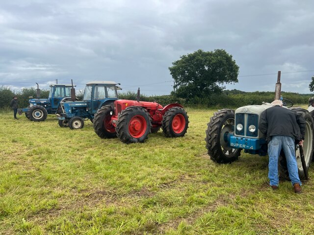
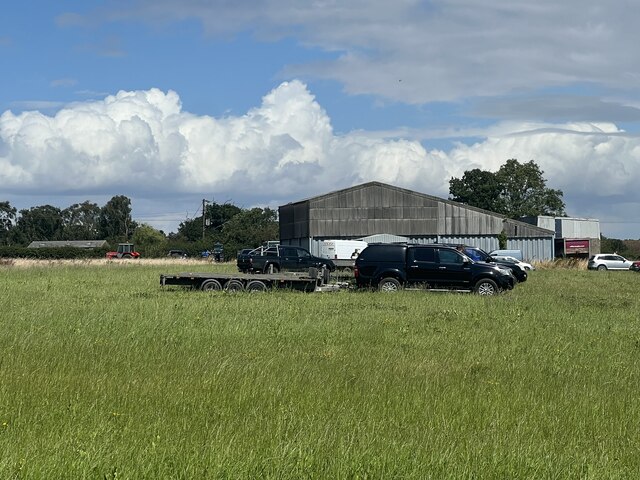
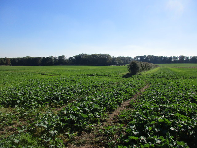
Images are sourced within 2km of 53.361953/-1.162327 or Grid Reference SK5585. Thanks to Geograph Open Source API. All images are credited.

St Peter's Church, Letwell The church was built around 1375 by John Mauleverer but has been substantially altered several times since. Much of the church was rebuilt in 1820, at the expense of Henry Gally Knight, the owner of Firbeck Hall. In 1867 the church suffered a devastating fire.
St Peter's Church, Letwell
The church was built around 1375 by John Mauleverer but has been substantially altered several times since. Much of the church was rebuilt in 1820, at the expense of Henry Gally Knight, the owner of Firbeck Hall. In 1867 the church suffered a devastating fire.
Farmland east of Gildingwells Looking to Langold Holt.
Farmland east of Gildingwells
Looking to Langold Holt.
Buckwood Farm on Rotherham Baulk
Tractor line up The tractors ready for sale.
Tractor line up
The tractors ready for sale.
Farm Ditch A ditch or stream marked on the OS map.
Farm Ditch
A ditch or stream marked on the OS map.
Arable Crop A field of Beans ready for harvesting.
Arable Crop
A field of Beans ready for harvesting.
Moorlands Farm Barn One of several barns associated with Moorlands Farm.
Moorlands Farm Barn
One of several barns associated with Moorlands Farm.
Hedge and fields of oilseed rape This year's crop is barely harvested but already next year's is well developed.
Hedge and fields of oilseed rape
This year's crop is barely harvested but already next year's is well developed.
Barker Hades Lane The holly tree is quite prominent being situated on a slight rise.
Barker Hades Lane
The holly tree is quite prominent being situated on a slight rise.
Footpaths crossing Barker Hades Lane
Letwell Village Hall As with so many village halls this is the former school.
Letwell Village Hall
As with so many village halls this is the former school.
The Old Post Office, Letwell Late eighteenth century cottages <span class="nowrap"><a title="http://www.britishlistedbuildings.co.uk/en-335800-letwell-post-office-letwell-#.Vg75GfTocnA" rel="nofollow ugc noopener" href="http://www.britishlistedbuildings.co.uk/en-335800-letwell-post-office-letwell-#.Vg75GfTocnA">Link</a><img style="margin-left:2px;" alt="External link" title="External link - shift click to open in new window" src="https://s1.geograph.org.uk/img/external.png" width="10" height="10"/></span>
The Old Post Office, Letwell
Late eighteenth century cottages LinkExternal link
Gate on Church Lane Beyond the gate Church Lane is open to all traffic though it is an unmade road.
Gate on Church Lane
Beyond the gate Church Lane is open to all traffic though it is an unmade road.
Church Lane Looking to the west.
Church Lane
Looking to the west.
Lamb Lane Dike Seen from Church Lane.
Lamb Lane Dike
Seen from Church Lane.
Church Lane Not quite a holloway but at a lower level than the surrounding fields. 
Letwell on the rise just to the left of the centre of the picture.
Church Lane
Not quite a holloway but at a lower level than the surrounding fields. Letwell on the rise just to the left of the centre of the picture.
Rubble and Church Lane
Church Lane At this point does not follow the route marked on OS maps which would be in a curve to the left (north).
Church Lane
At this point does not follow the route marked on OS maps which would be in a curve to the left (north).
Show me another place!

Gildingwells is located at Grid Ref: SK5585 (Lat: 53.361953, Lng: -1.162327)

Division: West Riding

Administrative County: South Yorkshire

District: Rotherham

Police Authority: South Yorkshire

What 3 Words

///ordeals.systems.tinkle. Near Woodsetts, South Yorkshire

Nearby Locations

Gildingwells Gildingwells

Related Wikis

Woodsetts

Woodsetts is a village and civil parish in the Metropolitan Borough of Rotherham in South Yorkshire, England, on the border with Nottinghamshire. It lies...

St Peter's Church, Letwell

St Peter's Church, Letwell, is a parish church of the Church of England in Letwell. == Background == The Church of St Peter is found at the west end of...

Letwell

Letwell is a rural village and civil parish in the Metropolitan Borough of Rotherham in South Yorkshire, England, on the border with Nottinghamshire. It...

Wallingwells

Wallingwells is a small civil parish and hamlet in the Bassetlaw district of Nottinghamshire, England, with a population at the 2001 census of 22. The...

Nearby Amenities

Located within 500m of 53.361953,-1.162327
Gildingwells
Place: hamlet
Lat/Long: 53.3621425/-1.1637528
Bus Stop
Woodsetts Road/Red Quarry Lane
Alt Name: Woodsetts Road/Red Quarry Lane
Naptan AltCommonName: Woodsetts Road/Red Quarry Lane
Naptan AtcoCode: 370030401
Naptan Bearing: N
Naptan CommonName: Woodsetts Road/Red Quarry Lane
Naptan Indicator: 30401
Naptan Landmark: 30401
Naptan PlusbusZoneRef: ROTHCEN
Naptan Street: Woodsetts Road
Naptan Verified: no
Source: naptan_import
Lat/Long: 53.3627901/-1.1635095
Bus Stop
Woodsetts Road/Lane Side Farm
Alt Name: Woodsetts Road/Lane Side Farm
Naptan AltCommonName: Woodsetts Road/Lane Side Farm
Naptan AtcoCode: 370035432
Naptan Bearing: SE
Naptan CommonName: Woodsetts Road/Lane Side Farm
Naptan Indicator: 35432
Naptan Landmark: 35432
Naptan PlusbusZoneRef: ROTHCEN
Naptan Street: Woodsetts Road
Naptan Verified: no
Source: naptan_import
Lat/Long: 53.3625709/-1.1630029
Bench
Lat/Long: 53.3635141/-1.1635148
Post Box
Collection Times: Mo-Fr 16:00; Sa 07:30
Post Box Type: lamp
Ref: S81 11
Royal Cypher: EIIR
Royal Cypher Wikidata: Q33102113
Lat/Long: 53.362284/-1.1628099
The data included in this document is from www.openstreetmap.org. The data is made available under ODbL.

Have you been to Gildingwells?

Leave your review of Gildingwells below (or comments, questions and feedback).