Framfield
Civil Parish in Sussex Wealden
England
Framfield
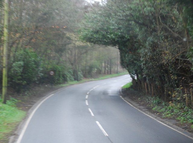
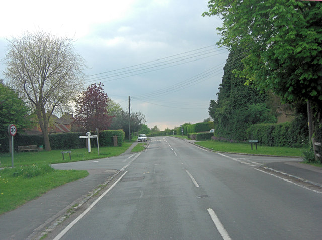
Framfield is a civil parish located in the county of Sussex, England. It covers an area of approximately 15 square miles and is situated about 44 miles south of London. The parish is part of the Wealden district and is surrounded by picturesque countryside, characterized by rolling hills, woodlands, and farmlands.
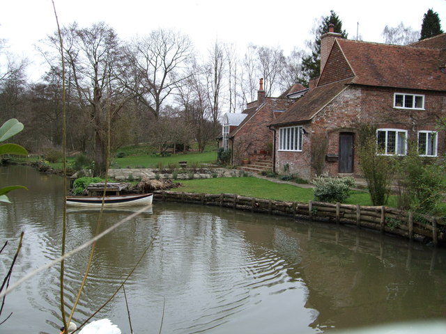
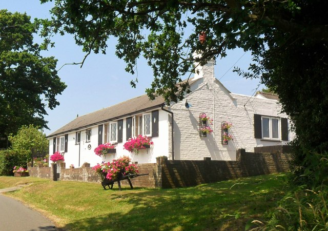
The village of Framfield itself is situated on a ridge overlooking the River Uck. It has a population of around 1,500 residents. The village is known for its charming and traditional architecture, with many historic buildings dating back to the 17th and 18th centuries. The St. Thomas à Becket Church, a Grade I listed building, is a prominent landmark in the village and showcases beautiful medieval architecture.
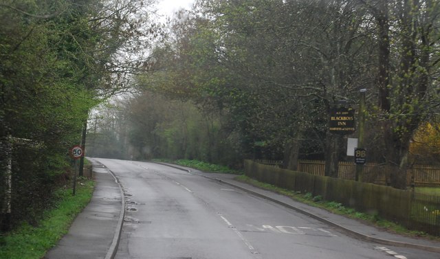
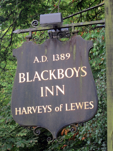
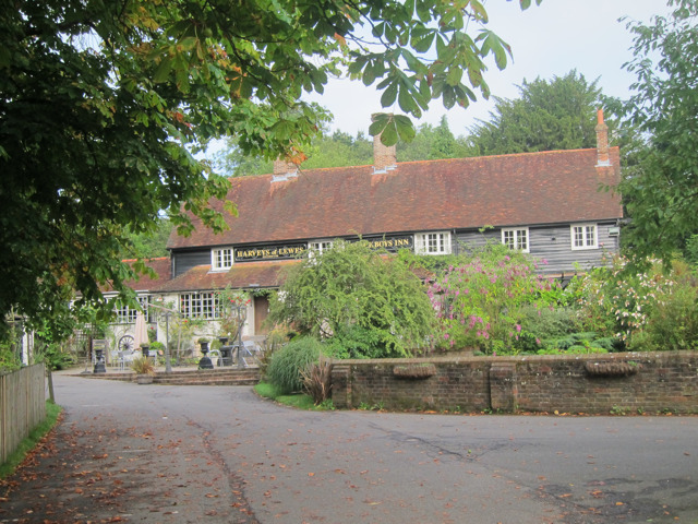
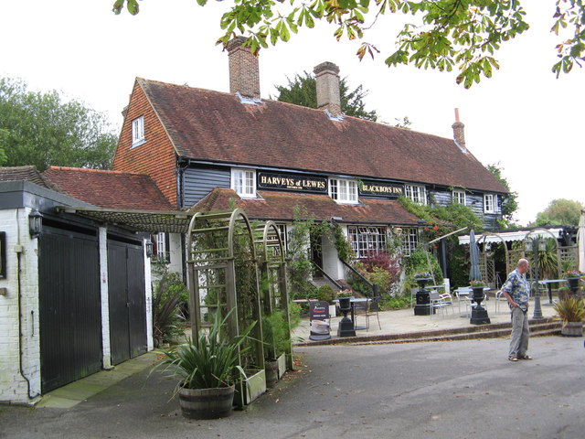
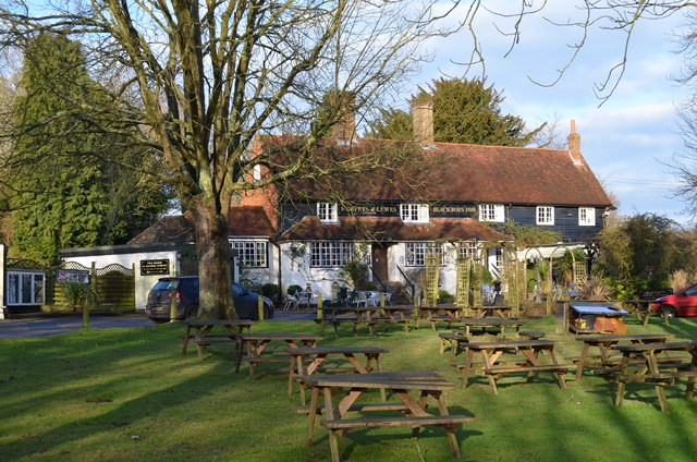
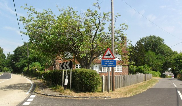
The parish of Framfield is also home to several other smaller settlements, including Blackboys, which is located to the east of the village. Blackboys is known for its quaint cottages and has a population of around 600 residents. The area is popular with hikers and nature enthusiasts, as it offers stunning scenery and numerous walking trails.
Framfield is a close-knit community that is proud of its local heritage. The village hosts various events throughout the year, including a summer fair and a Christmas market. It also has a primary school, a village hall, and a few local amenities such as a post office and a pub.
Overall, Framfield is a picturesque and peaceful civil parish that offers a rural escape while still being within commuting distance of London.
If you have any feedback on the listing, please let us know in the comments section below.
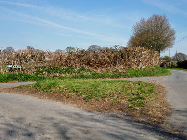
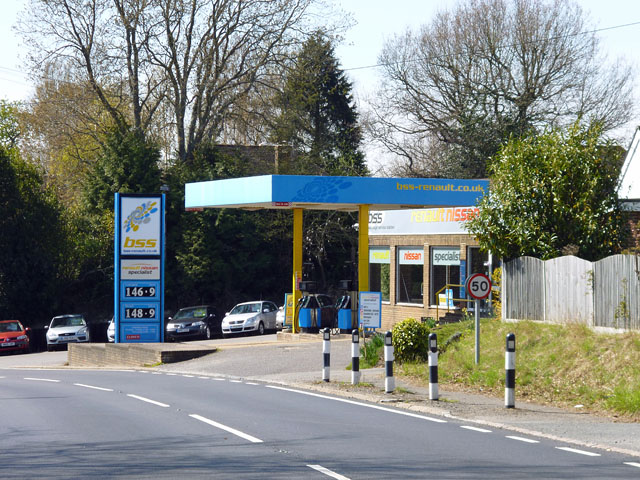
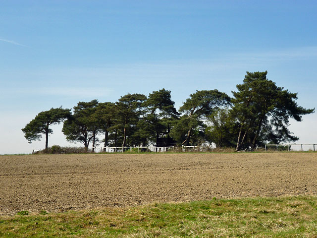
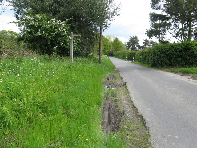
Framfield Images
Images are sourced within 2km of 50.959246/0.142515 or Grid Reference TQ5019. Thanks to Geograph Open Source API. All images are credited.
Framfield is located at Grid Ref: TQ5019 (Lat: 50.959246, Lng: 0.142515)
Administrative County: East Sussex
District: Wealden
Police Authority: Sussex
What 3 Words
///agreeing.surprised.concluded. Near Buxted, East Sussex
Nearby Locations
Related Wikis

Framfield
Framfield is a village and civil parish in the Wealden District of East Sussex, England. The village is located two miles (3 km) east of Uckfield; the...

Etchingwood
Etchingwood is a small cluster of mostly detached properties and farms within the civil parish of Buxted in the Wealden district of East Sussex, England...
Vanguard Way
The Vanguard Way is a long-distance walk of 66.2 mi (106.5 km) from East Croydon station in outer London (OS grid reference TQ328658), travelling from...

Uckfield
Uckfield () is a town in the Wealden District of East Sussex in South East England. The town is on the River Uck, one of the tributaries of the River Ouse...

Hempstead Meadow
Hempstead Meadow is a 1.6-hectare (4.0-acre) Local Nature Reserve in Uckfield in East Sussex. It is owned and managed by Uckfield Town Council.The site...
Uckfield College
Uckfield College (formerly Uckfield Community Technology College) is a community college situated in Uckfield, UK. It has approximately 1,720 students...

Uckfield railway station
Uckfield railway station is the southern terminus of a branch of the Oxted Line in England, serving the town of Uckfield, East Sussex. It is 46 miles 8...
Uckfield Town F.C.
Uckfield Town F.C. was a football club based in Uckfield, East Sussex, England. For their final season, 2013–14, they were members of the Sussex County...
Nearby Amenities
Located within 500m of 50.959246,0.142515Have you been to Framfield?
Leave your review of Framfield below (or comments, questions and feedback).