Fradswell
Civil Parish in Staffordshire Stafford
England
Fradswell

Fradswell is a civil parish located in the county of Staffordshire, England. It is situated approximately 8 miles north of Stafford, the county town. The parish covers an area of about 4 square miles and is surrounded by the beautiful Staffordshire countryside.
The village of Fradswell itself is small and charming, with a population of around 200 residents. It is characterized by its picturesque landscapes, with rolling hills, green fields, and tranquil woodlands. The parish is predominantly rural, with a few scattered farms and residential properties.
Fradswell is known for its rich history, dating back centuries. The village church, St. James Church, is a Grade II listed building and a prominent landmark in the area. It dates back to the 12th century and features stunning architectural details, including a medieval tower.
The community in Fradswell is tight-knit and vibrant, with a strong sense of community spirit. The parish organizes various events and activities throughout the year, fostering a sense of togetherness among the residents.
Although Fradswell is predominantly rural, it benefits from its proximity to larger towns and cities. The nearby town of Stafford offers a range of amenities including schools, shops, and leisure facilities. The parish is well-connected by road, with easy access to major routes such as the A51 and A518.
Overall, Fradswell is a picturesque and peaceful civil parish, offering a tranquil countryside setting and a strong sense of community.
If you have any feedback on the listing, please let us know in the comments section below.
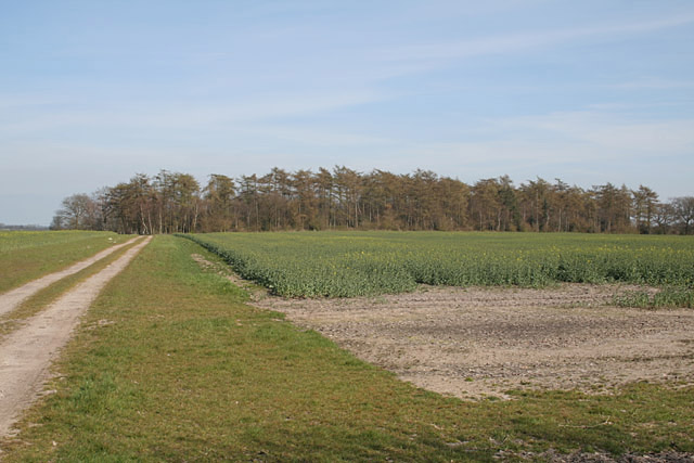
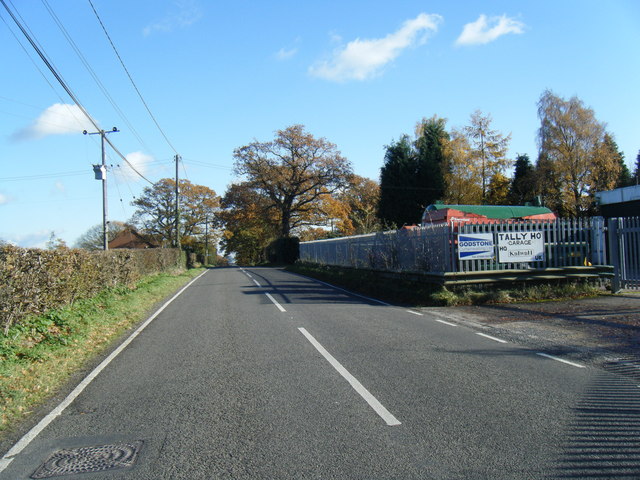
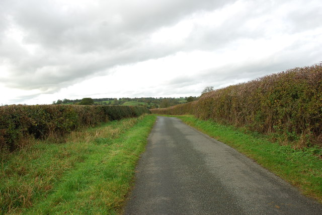
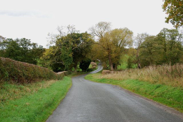
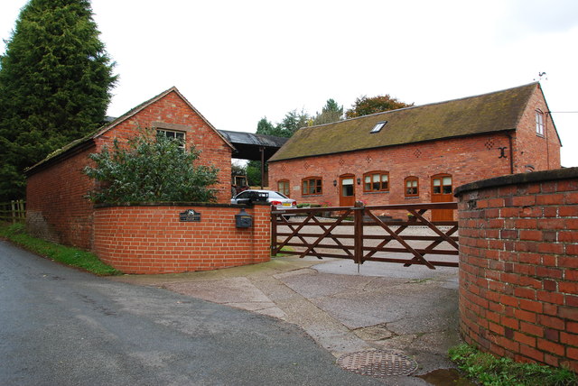
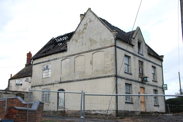
Fradswell Images
Images are sourced within 2km of 52.879495/-2.008289 or Grid Reference SJ9931. Thanks to Geograph Open Source API. All images are credited.


Fradswell is located at Grid Ref: SJ9931 (Lat: 52.879495, Lng: -2.008289)
Administrative County: Staffordshire
District: Stafford
Police Authority: Staffordshire
What 3 Words
///classmate.tops.twisting. Near Great Haywood, Staffordshire
Nearby Locations
Related Wikis

Fradswell
Fradswell is a village in Staffordshire, England, approximately 7 miles (10 km) north-east of the town of Stafford and 7 miles (11 km) north of Colwich...

Coton Hill, Staffordshire
Coton Hill is a hamlet in the English county of Staffordshire. Coton Hill is located east of the village of Milwich on the B5027 road between Stone and...

Milwich
Milwich is a village and a civil parish in the English county of Staffordshire. == Location == The village is 7.8 miles (12.6 km) north east of the town...

Gayton, Staffordshire
Gayton is a small rural village and civil parish in Staffordshire, located approximately 1 mile from the A51 between Stone and Stafford. In 2001 it had...
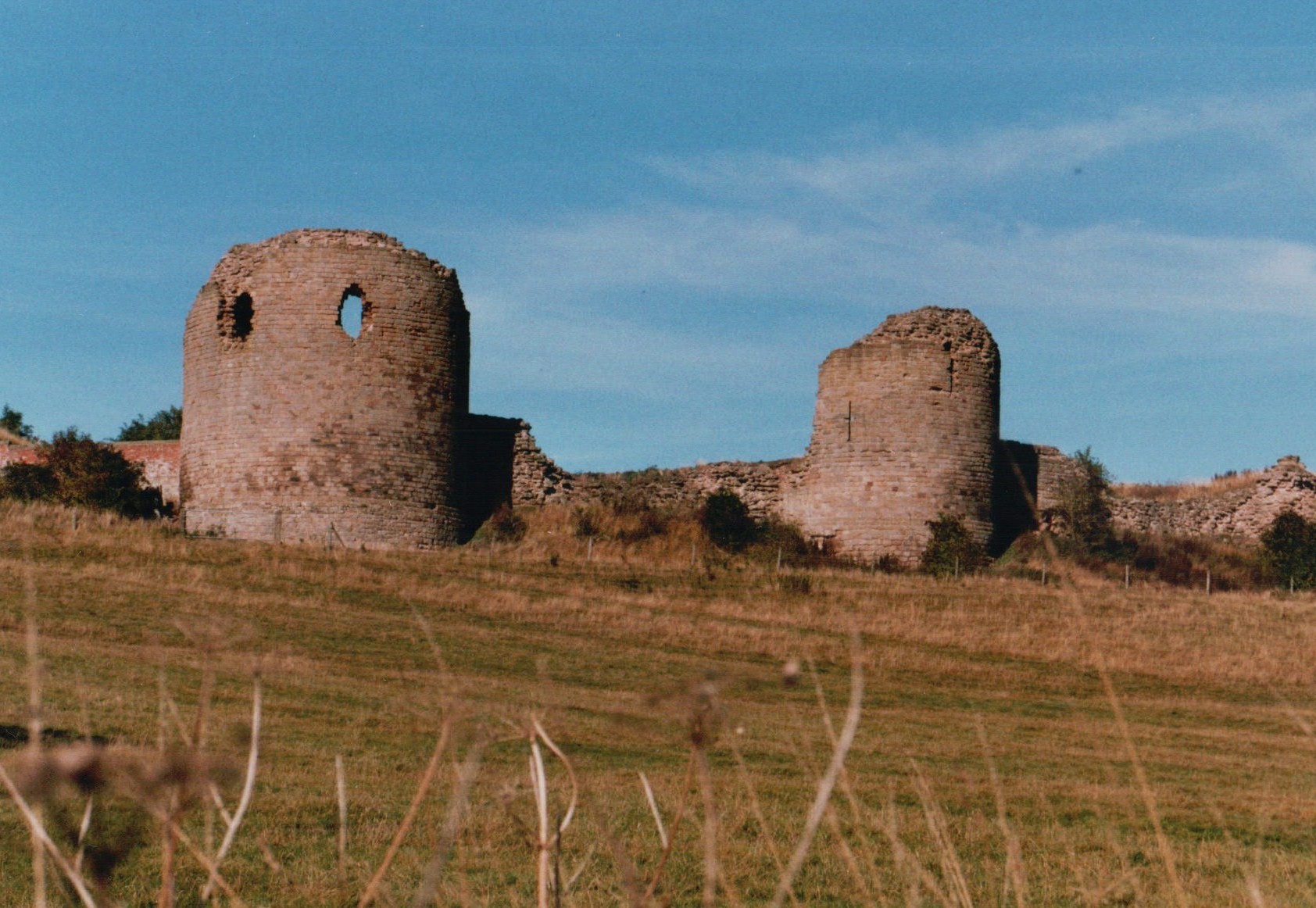
Chartley Castle
Chartley Castle lies in ruins to the north of the village of Stowe-by-Chartley in Staffordshire, between Stafford and Uttoxeter (grid reference SK010285...

Gratwich
Gratwich is a village and former civil parish, now in the parish of Kingstone, in the East Staffordshire district, in the county of Staffordshire, England...
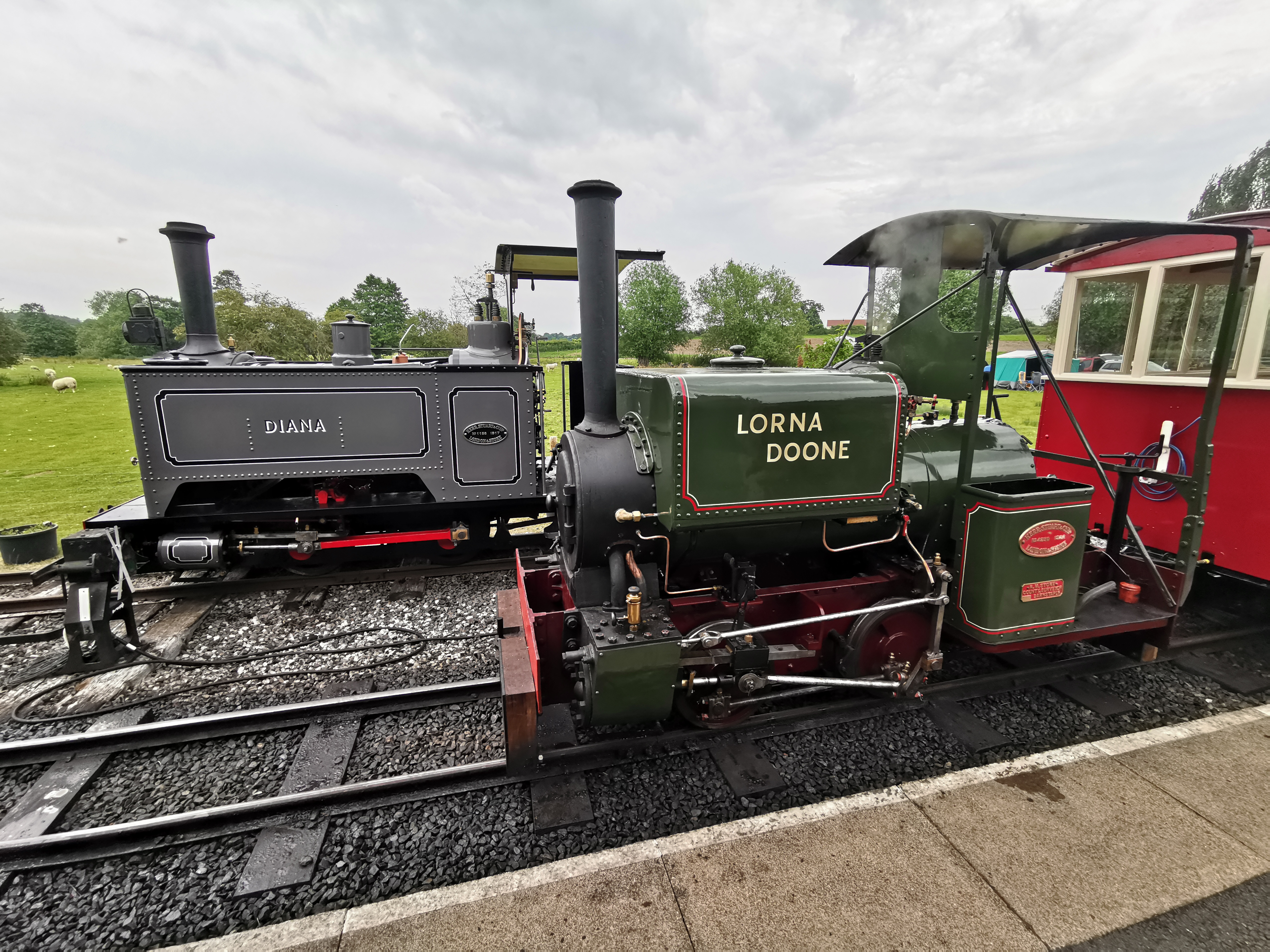
Amerton Railway
The Amerton Railway is a 2 ft (610 mm) narrow gauge heritage railway in the English county of Staffordshire. It is owned by Staffordshire Narrow Gauge...

Chartley railway station
Chartley railway station was a former British railway station to serve the village of Stowe-by-Chartley in Staffordshire. It was opened by the Stafford...
Nearby Amenities
Located within 500m of 52.879495,-2.008289Have you been to Fradswell?
Leave your review of Fradswell below (or comments, questions and feedback).