Little Arches Wood
Wood, Forest in Sussex Wealden
England
Little Arches Wood
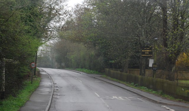
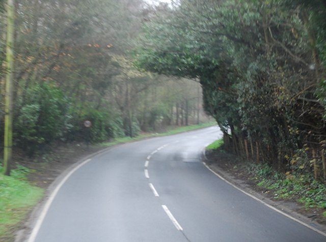
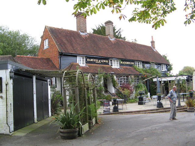
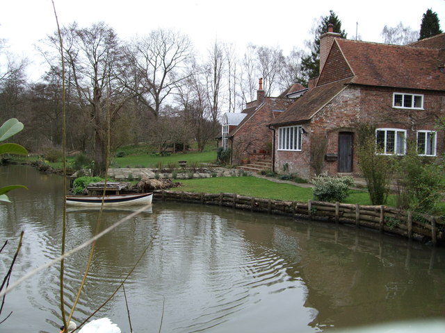
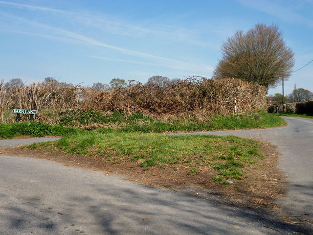
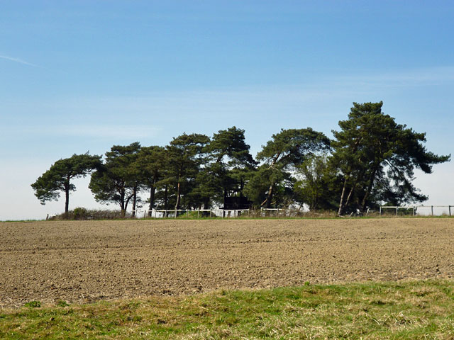
Little Arches Wood is a picturesque forest located in the county of Sussex, England. Covering an area of approximately 100 acres, this enchanting woodland is a haven for nature enthusiasts and provides a tranquil escape from the bustling city life.
The wood is characterized by its diverse range of tree species, including oak, beech, and ash, which create a dense canopy overhead, casting dappled sunlight onto the forest floor below. The forest is also home to a variety of wildlife, such as deer, foxes, and a plethora of bird species, making it a popular spot for birdwatchers and wildlife photographers.
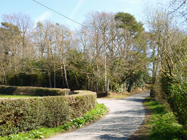
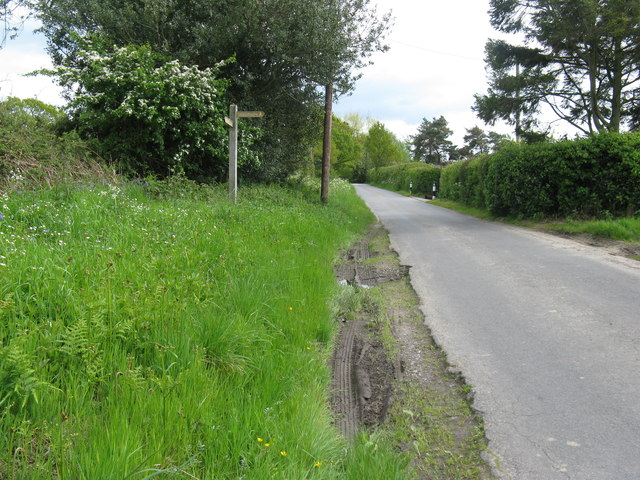
Little Arches Wood offers a network of well-maintained footpaths, allowing visitors to explore its natural beauty at their own pace. The paths wind through the forest, leading to hidden clearings, babbling brooks, and scenic viewpoints. Along the way, visitors may come across ancient tree stumps and fallen logs, providing a glimpse into the rich history of the woodland.
The wood is a popular destination for nature walks, picnics, and family outings. Additionally, it serves as an important educational resource, with local schools often organizing field trips to teach children about the importance of preserving and appreciating the natural environment.
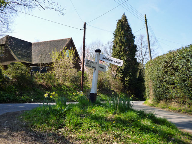
Little Arches Wood is easily accessible, with a nearby car park and public transportation options available. It is a true gem of Sussex, offering visitors a chance to reconnect with nature and experience the beauty of the English countryside.
If you have any feedback on the listing, please let us know in the comments section below.
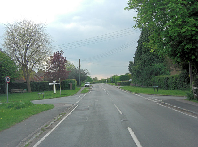
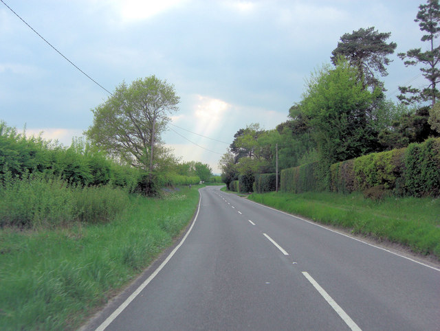
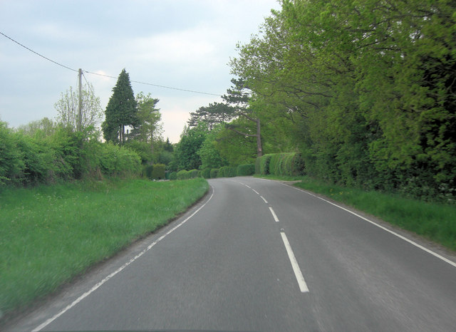
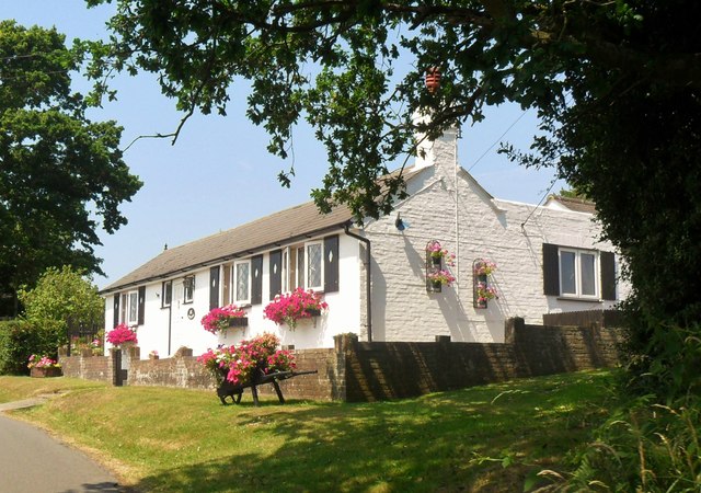
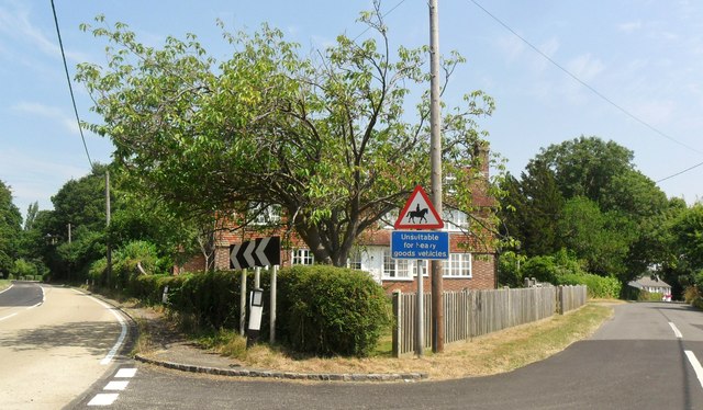
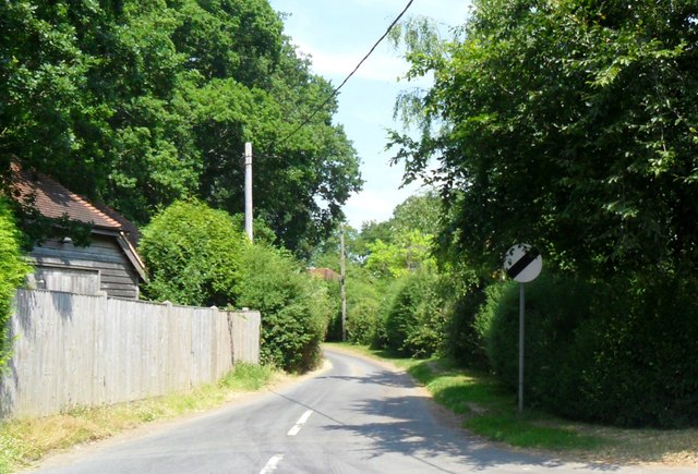
Little Arches Wood Images
Images are sourced within 2km of 50.958856/0.13988128 or Grid Reference TQ5019. Thanks to Geograph Open Source API. All images are credited.
Little Arches Wood is located at Grid Ref: TQ5019 (Lat: 50.958856, Lng: 0.13988128)
Administrative County: East Sussex
District: Wealden
Police Authority: Sussex
What 3 Words
///combining.prompts.dwarf. Near Uckfield, East Sussex
Nearby Locations
Related Wikis

Framfield
Framfield is a village and civil parish in the Wealden District of East Sussex, England. The village is located two miles (3 km) east of Uckfield; the...

Etchingwood
Etchingwood is a small cluster of mostly detached properties and farms within the civil parish of Buxted in the Wealden district of East Sussex, England...
Vanguard Way
The Vanguard Way is a long-distance walk of 66.2 mi (106.5 km) from East Croydon station in outer London (OS grid reference TQ328658), travelling from...

Uckfield
Uckfield () is a town in the Wealden District of East Sussex in South East England. The town is on the River Uck, one of the tributaries of the River Ouse...

Hempstead Meadow
Hempstead Meadow is a 1.6-hectare (4.0-acre) Local Nature Reserve in Uckfield in East Sussex. It is owned and managed by Uckfield Town Council.The site...
Uckfield College
Uckfield College (formerly Uckfield Community Technology College) is a community college situated in Uckfield, UK. It has approximately 1,720 students...

Uckfield railway station
Uckfield railway station is the southern terminus of a branch of the Oxted Line in England, serving the town of Uckfield, East Sussex. It is 46 miles 8...
Uckfield Town F.C.
Uckfield Town F.C. was a football club based in Uckfield, East Sussex, England. For their final season, 2013–14, they were members of the Sussex County...
Nearby Amenities
Located within 500m of 50.958856,0.13988128Have you been to Little Arches Wood?
Leave your review of Little Arches Wood below (or comments, questions and feedback).