Borough Pit Shaw

Wood, Forest in Sussex Wealden

England

Borough Pit Shaw

Signpost on the triangle 'Narrow Lane' is not the name of the lane, which is Uptons Mill Lane, or its destination, but its character.
Signpost on the triangle Credit: Robin Webster

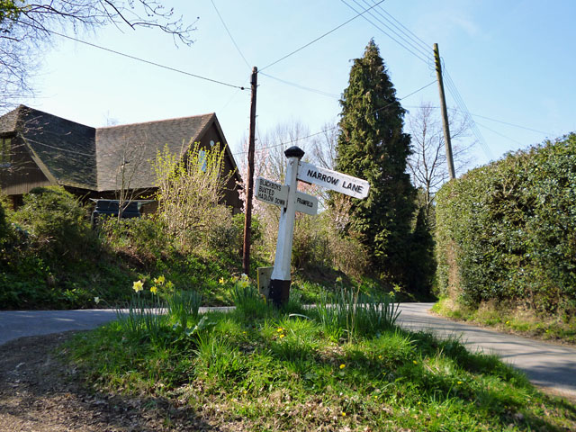
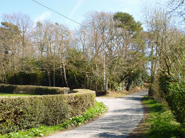
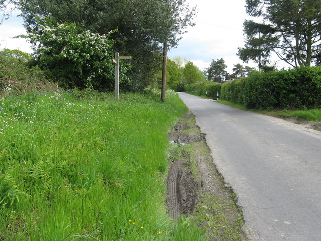
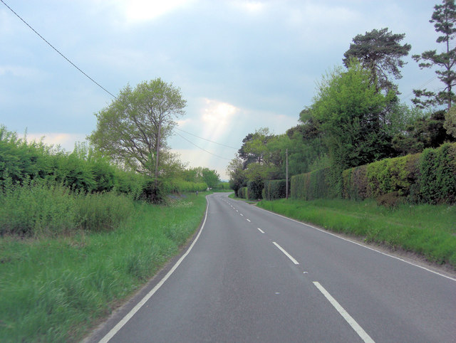
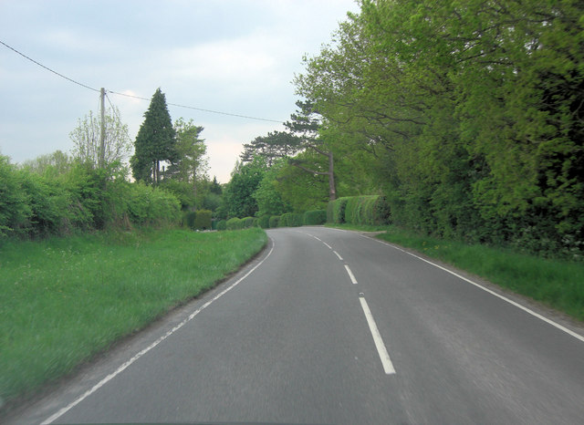
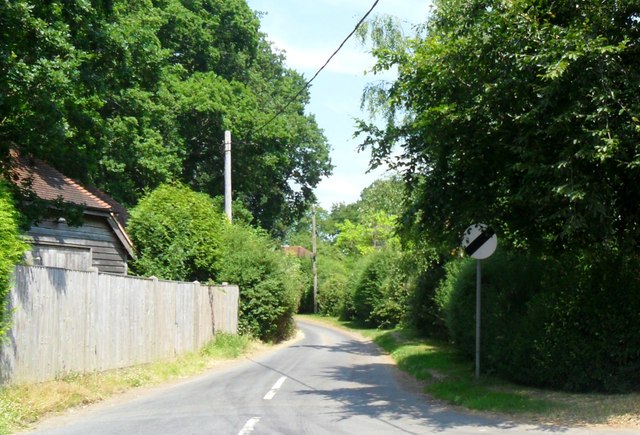
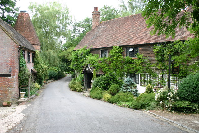
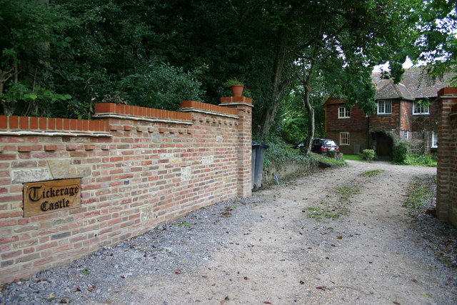
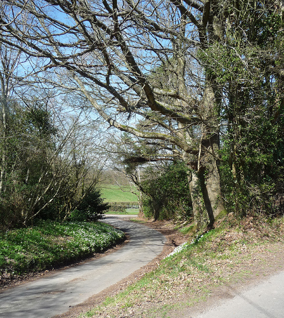
Borough Pit Shaw, located in Sussex, England, is a captivating woodland area known for its natural beauty and rich history. Covering an expansive area, this forested region is a popular destination for nature enthusiasts and history buffs alike.

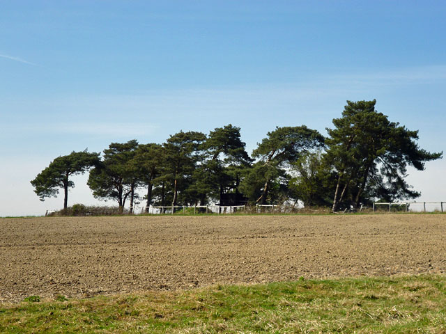
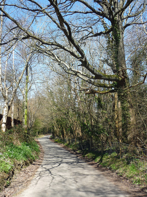
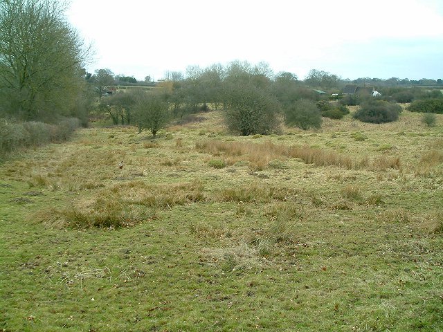
The shaw is characterized by an abundance of diverse tree species, including oak, beech, and ash, creating a lush and verdant landscape. The dense canopy provides a haven for a variety of wildlife, such as deer, foxes, and numerous bird species, making it a haven for birdwatchers and wildlife photographers.

In addition to its natural wonders, Borough Pit Shaw holds a significant historical value. It is believed that the site was once part of the ancient Saxon woodland, which played a crucial role in the region's timber industry during the medieval period. The remnants of charcoal burners' platforms and saw pits can still be found in the area, offering a glimpse into the past.

Visitors to Borough Pit Shaw can explore the forest through a network of well-maintained trails, allowing them to immerse themselves in the tranquility of nature. The shaw is also home to a small picnic area, providing a perfect spot for a relaxing lunch amidst the picturesque surroundings.

Overall, Borough Pit Shaw is a captivating woodland retreat that offers a unique blend of natural beauty and historical significance. Whether one seeks solace in nature, seeks to uncover the secrets of the past, or simply desires an escape from the bustling city life, this Sussex gem is sure to leave a lasting impression.

If you have any feedback on the listing, please let us know in the comments section below.

Borough Pit Shaw Images

Images are sourced within 2km of 50.955916/0.13591582 or Grid Reference TQ5019. Thanks to Geograph Open Source API. All images are credited.

Signpost on the triangle 'Narrow Lane' is not the name of the lane, which is Uptons Mill Lane, or its destination, but its character.
Signpost on the triangle
'Narrow Lane' is not the name of the lane, which is Uptons Mill Lane, or its destination, but its character.
Gatehouse Lane splits left and right The split is to effect a junction with Pound Lane. The trees ahead are on a triangle of land between the lanes.
Gatehouse Lane splits left and right
The split is to effect a junction with Pound Lane. The trees ahead are on a triangle of land between the lanes.
Field corner trees Hidden among the trees is what seems to be a shooting platform.
Field corner trees
Hidden among the trees is what seems to be a shooting platform.
Wealdway waymarker on Stonebridge Lane
B2102 south of Tickerage Wood
B2102 south of Upper Greatfield Farm
White cottages near Blackboys The cottages could be described as 'Flemish style'.
White cottages near Blackboys
The cottages could be described as 'Flemish style'.
Road junction near Framfield
Pound Lane, Framfield
Upton Mill House
Upton Mill House
Upton Mill
Upton Mill
Tickerage Castle A 15th Century Grade II Listed Property.
Tickerage Castle
A 15th Century Grade II Listed Property.
Gatehouse Lane, Framfield It veers off from Pound Lane, visible at bottom right.
This is almost a reverse view: <a href="https://www.geograph.org.uk/photo/2885269">TQ5020 : Gatehouse Lane splits left and right</a>.
Gatehouse Lane, Framfield
It veers off from Pound Lane, visible at bottom right. This is almost a reverse view: TQ5020 : Gatehouse Lane splits left and right.
Pound Lane, Framfield Not long before the junction with Gatehouse Lane (<a href="https://www.geograph.org.uk/photo/4427285">TQ5020 : Gatehouse Lane, Framfield</a>).
Pound Lane, Framfield
Not long before the junction with Gatehouse Lane (TQ5020 : Gatehouse Lane, Framfield).
Meadow at Easons Green This regularly grazed ancient meadow is typical of lowland unimproved grassland, with anthills and a diverse flora in the summer.
Meadow at Easons Green
This regularly grazed ancient meadow is typical of lowland unimproved grassland, with anthills and a diverse flora in the summer.
Stile next to Crossroads, Palehouse Common Much negotiation required to avoid wet feet if trying to escape this field. The point where the footpath from Honey's Green meets a crossroads of minor lanes. The buildings behind belong to Palehouse Common Farm.
Stile next to Crossroads, Palehouse Common
Much negotiation required to avoid wet feet if trying to escape this field. The point where the footpath from Honey's Green meets a crossroads of minor lanes. The buildings behind belong to Palehouse Common Farm.
Electricity Pylon near The Lews Taken from the footpath from Honey's Green
Electricity Pylon near The Lews
Taken from the footpath from Honey's Green
Electricity Pylons near The Lews Straight on view of <a href="https://www.geograph.org.uk/photo/323458">TQ5018 : Electricity Pylon near The Lews</a> as the iron giant and his dark black cloud bear down on a lonely geographer. Actually the picture is taken in a small dip next to a stream looking up the slope towards the pylon.
Electricity Pylons near The Lews
Straight on view of TQ5018 : Electricity Pylon near The Lews as the iron giant and his dark black cloud bear down on a lonely geographer. Actually the picture is taken in a small dip next to a stream looking up the slope towards the pylon.
Show me another place!

Borough Pit Shaw is located at Grid Ref: TQ5019 (Lat: 50.955916, Lng: 0.13591582)

Administrative County: East Sussex

District: Wealden

Police Authority: Sussex

What 3 Words

///pacifist.sneezing.brother. Near Uckfield, East Sussex

Related Wikis

Framfield

Framfield is a village and civil parish in the Wealden District of East Sussex, England. The village is located two miles (3 km) east of Uckfield; the...

East Sussex National Golf Club

East Sussex National Golf Club is a golf course located near to Uckfield in East Sussex. It is considered one of the finer golf courses in the British...

Uckfield

Uckfield () is a town in the Wealden District of East Sussex in South East England. The town is on the River Uck, one of the tributaries of the River Ouse...

Hempstead Meadow

Hempstead Meadow is a 1.6-hectare (4.0-acre) Local Nature Reserve in Uckfield in East Sussex. It is owned and managed by Uckfield Town Council.The site...

Etchingwood

Etchingwood is a small cluster of mostly detached properties and farms within the civil parish of Buxted in the Wealden district of East Sussex, England...

Uckfield College

Uckfield College (formerly Uckfield Community Technology College) is a community college situated in Uckfield, UK. It has approximately 1,720 students...

Uckfield Town F.C.

Uckfield Town F.C. was a football club based in Uckfield, East Sussex, England. For their final season, 2013–14, they were members of the Sussex County...

Uckfield railway station

Uckfield railway station is the southern terminus of a branch of the Oxted Line in England, serving the town of Uckfield, East Sussex. It is 46 miles 8...

Nearby Amenities

Located within 500m of 50.955916,0.13591582
Barrier: stile
Lat/Long: 50.9536507/0.1361475
Barrier: stile
Lat/Long: 50.953591/0.1418838
Barrier: stile
Lat/Long: 50.9532221/0.1405946
Barrier: stile
Lat/Long: 50.9546526/0.1349652
Arches Farm
Place: farm
Source Name: OS_OpenData_Streetview
Lat/Long: 50.9557353/0.1422831
Barrier: stile
Lat/Long: 50.9559418/0.1343357
Barrier: stile
Lat/Long: 50.9571528/0.1340019
Barrier: stile
Lat/Long: 50.9579134/0.1330226
The data included in this document is from www.openstreetmap.org. The data is made available under ODbL.

Have you been to Borough Pit Shaw?

Leave your review of Borough Pit Shaw below (or comments, questions and feedback).