Catherine Grove

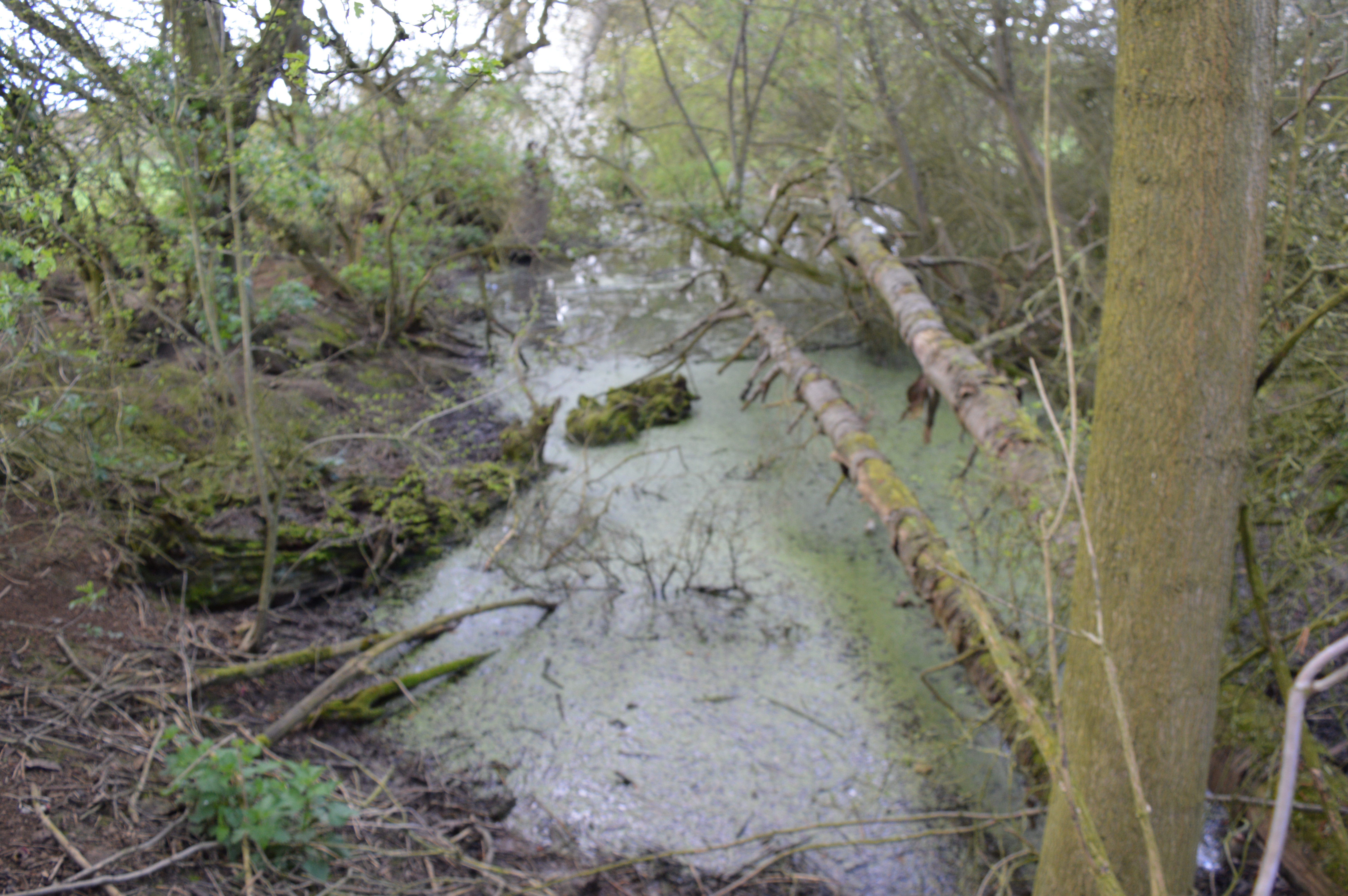
Wood, Forest in Essex Uttlesford

England

Catherine Grove

Houses on Rickling Green The tree stump has been cut since a nice tree was there in 2009
Houses on Rickling Green Credit: David Howard

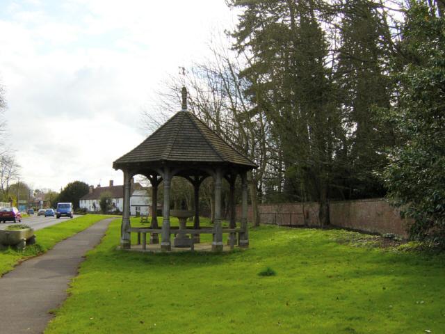
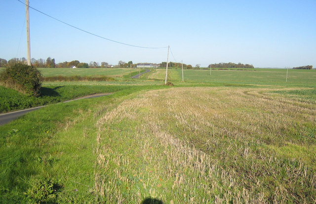
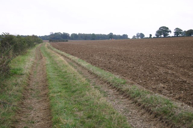
Catherine Grove is a small residential area located in Wood, Essex, which is a village situated within the larger district of Epping Forest. It is a peaceful and picturesque neighborhood known for its lush greenery and natural beauty. The area is characterized by an abundance of trees, which give it a serene and tranquil atmosphere.

Catherine Grove is primarily a residential area, with a mix of detached houses, semi-detached houses, and bungalows. The properties are well-maintained and surrounded by well-kept gardens, adding to the overall aesthetic appeal of the neighborhood. The community is known for its close-knit and friendly atmosphere, making it an ideal place to raise a family or enjoy retirement.

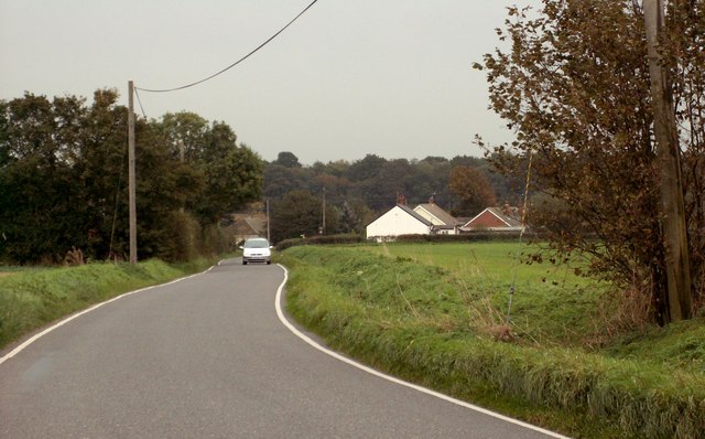
The location of Catherine Grove offers residents the best of both worlds. While being surrounded by nature and countryside, the area is also within easy reach of various amenities. Nearby, there are schools, shops, restaurants, and recreational facilities, ensuring that residents have everything they need within a short distance.

Nature lovers and outdoor enthusiasts will find plenty to enjoy in Catherine Grove. The area is close to Epping Forest, a vast and ancient woodland that offers various walking and cycling trails, picnic spots, and opportunities for wildlife spotting. Additionally, the nearby Woodside Park provides a great space for outdoor activities, including playgrounds, sports fields, and tennis courts.

Overall, Catherine Grove in Essex is a charming and idyllic residential area, offering a peaceful and scenic environment for its residents, while still providing convenient access to essential amenities and recreational activities.

If you have any feedback on the listing, please let us know in the comments section below.

Catherine Grove Images

Images are sourced within 2km of 51.943643/0.18646587 or Grid Reference TL5029. Thanks to Geograph Open Source API. All images are credited.

Houses on Rickling Green The tree stump has been cut since a nice tree was there in 2009
Houses on Rickling Green
The tree stump has been cut since a nice tree was there in 2009
Brick Kiln Lane, Rickling Green
Rickling: Pond Lay Plantation An isolated clump of woodland in an otherwise arable landscape.
Rickling: Pond Lay Plantation
An isolated clump of woodland in an otherwise arable landscape.
Rickling: All Saints Church There are few houses near this isolated thirteenth century church, but it is a popular venue for weddings including that of local celebrity chef Jamie Oliver and his bride, Juliette Norton, in June 2000. The BBC news article for the event is here <span class="nowrap"><a title="http://news.bbc.co.uk/1/hi/entertainment/803555.stm" rel="nofollow ugc noopener" href="http://news.bbc.co.uk/1/hi/entertainment/803555.stm">Link</a><img style="margin-left:2px;" alt="External link" title="External link - shift click to open in new window" src="https://s1.geograph.org.uk/img/external.png" width="10" height="10"/></span>
Rickling: All Saints Church
There are few houses near this isolated thirteenth century church, but it is a popular venue for weddings including that of local celebrity chef Jamie Oliver and his bride, Juliette Norton, in June 2000. The BBC news article for the event is here LinkExternal link
Quendon parish church, Essex This church dates back to the 13th century but this view from the south, shows much of the restoration of 1881.
Quendon parish church, Essex
This church dates back to the 13th century but this view from the south, shows much of the restoration of 1881.
Fountain and Drinking Trough, Quendon The inscription on the inside of the roof reads: This fountain and drinking trough were donated to the people of Quendon in 1887 by Henry Tufnell Esq. in memory of Col. Cranmer-Byng of Quendon Hall. They were later restored in memory of G.B. Beeman who lived at Manor Farm 1922-54.
Fountain and Drinking Trough, Quendon
The inscription on the inside of the roof reads: This fountain and drinking trough were donated to the people of Quendon in 1887 by Henry Tufnell Esq. in memory of Col. Cranmer-Byng of Quendon Hall. They were later restored in memory of G.B. Beeman who lived at Manor Farm 1922-54.
Approach to Rickling Green from Rickling
Potash Farm, just east of Berden, Essex
Pinchpools These are two of National Grid's overhead electricity transmission lines that lead to and from the Pelham sub-station across the open agricultural landscape north of Pinchpools.
Pinchpools
These are two of National Grid's overhead electricity transmission lines that lead to and from the Pelham sub-station across the open agricultural landscape north of Pinchpools.
Rickling These concrete footpath fingerposts are typical of the area. These twin ones point out the routes of the footpaths to Quendon and Rickling Green from Rickling.
Rickling
These concrete footpath fingerposts are typical of the area. These twin ones point out the routes of the footpaths to Quendon and Rickling Green from Rickling.
Rickling: Brick Kiln Lane The approach to Rickling from Rickling Green for comparison with Robert's <a href="https://www.geograph.org.uk/photo/265904">TL5030 : Approach to Rickling Green from Rickling</a>
Rickling: Brick Kiln Lane
The approach to Rickling from Rickling Green for comparison with Robert's TL5030 : Approach to Rickling Green from Rickling
Footpath heading towards Rickling Hall Footpath from Potash heading towards Rickling Hall
Footpath heading towards Rickling Hall
Footpath from Potash heading towards Rickling Hall
Public Bridleway at Quendon This is a view from the B.1383 road, which was once the busy A.11
Public Bridleway at Quendon
This is a view from the B.1383 road, which was once the busy A.11
Dry River Bed Sheep graze in the dry river bed of the River Stort at Potash Farm
Dry River Bed
Sheep graze in the dry river bed of the River Stort at Potash Farm
St Simon and St Jude Parish Church, Quendon, Essex
Sign on Cambridge Road The B1383 north of Stansted Mountfitchet is very busy. The sign points to the quiet backwater of Vicarage Lane, not far from Ugley.
Sign on Cambridge Road
The B1383 north of Stansted Mountfitchet is very busy. The sign points to the quiet backwater of Vicarage Lane, not far from Ugley.
Signpost to Vicarage Lane The B1383 north of Stansted Mountfitchet is very busy. The sign points to the quiet backwater of Vicarage Lane, not far from Ugley.
Signpost to Vicarage Lane
The B1383 north of Stansted Mountfitchet is very busy. The sign points to the quiet backwater of Vicarage Lane, not far from Ugley.
Bus stop on the B1383 This is the busy Cambridge Road between Stansted Mountfitchet and Newport. The bus stop for northbound buses is opposite Smiths Cottages.
Bus stop on the B1383
This is the busy Cambridge Road between Stansted Mountfitchet and Newport. The bus stop for northbound buses is opposite Smiths Cottages.
Show me another place!

Catherine Grove is located at Grid Ref: TL5029 (Lat: 51.943643, Lng: 0.18646587)

Administrative County: Essex

District: Uttlesford

Police Authority: Essex

What 3 Words

///brightens.duke.coupler. Near Elsenham, Essex

Related Wikis

Quendon and Rickling

Quendon and Rickling is a civil parish in the Uttlesford district of Essex, England with an area of 2,048 acres. The population of the civil parish at...

Quendon Wood

Quendon Wood is a 32.1-hectare (79-acre) biological Site of Special Scientific Interest in Quendon in Essex.The site is ancient coppiced woodland with...

Quendon

Quendon is a linear village and former civil parish, now in the parish of Quendon and Rickling, in the Uttlesford district, in the county of Essex, England...

Ugley

Ugley is a small village and civil parish in the non-metropolitan district of Uttlesford in Essex, England. It is about 2 miles (3 km) north from Stansted...

Rickling, Essex

Rickling is a village and former civil parish, now in the parish of Quendon and Rickling, in the Uttlesford district of Essex, England. The village is...

Hall's Quarry

Hall's Quarry is a 0.8-hectare (2.0-acre) geological Site of Special Scientific Interest north-west of Ugley Green in Essex. It is a Geological Conservation...

Orford House

Orford House is a country house in the small medieval hamlet of Ugley, Essex, England. == History == The house was built for Edward Russell, who went on...

Manuden

Manuden is a village and civil parish in the Uttlesford district of Essex, England. It is located around 3+1⁄2 miles (6 km) north of Bishop's Stortford...

Nearby Amenities

Located within 500m of 51.943643,0.18646587
Power: tower
Lat/Long: 51.9408508/0.1913403
Power: tower
Lat/Long: 51.9395218/0.1854837
Birds End
Place: hamlet
Lat/Long: 51.9426535/0.1919085
The data included in this document is from www.openstreetmap.org. The data is made available under ODbL.

Have you been to Catherine Grove?

Leave your review of Catherine Grove below (or comments, questions and feedback).