Fornham St. Martin
Civil Parish in Suffolk St Edmundsbury
England
Fornham St. Martin
Fornham St. Martin is a civil parish located in the county of Suffolk, England. Situated just a few miles north-west of the town of Bury St. Edmunds, it is a small and picturesque village that is home to a close-knit community.
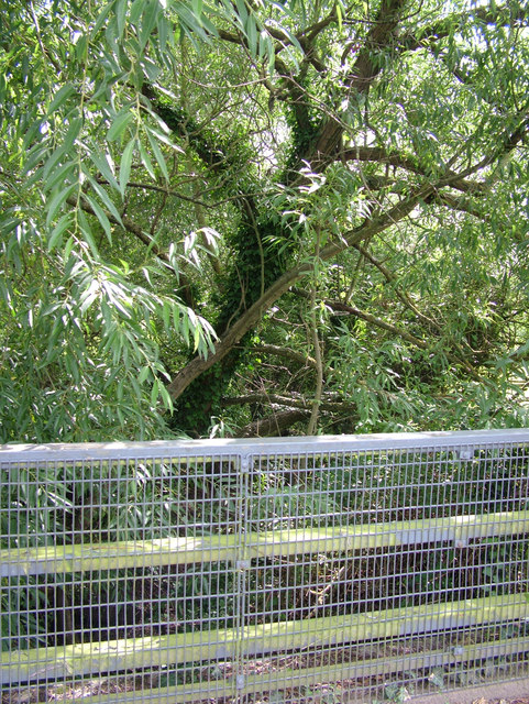
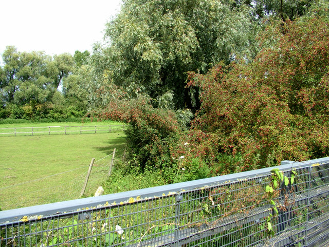
The village is known for its idyllic rural setting, surrounded by open countryside and farmland. It is characterized by its charming thatched cottages, historic buildings, and beautiful green spaces. The River Lark runs through the village, adding to its natural beauty and providing opportunities for peaceful walks along its banks.
Fornham St. Martin has a rich history dating back to Roman times, and evidence of this can be found in the form of Roman pottery and coins that have been discovered in the area. The village is also home to the ruins of St. Martin's Church, a medieval church that was largely destroyed during the English Civil War. The remains of the church stand as a reminder of the village's past and are a popular attraction for history enthusiasts.
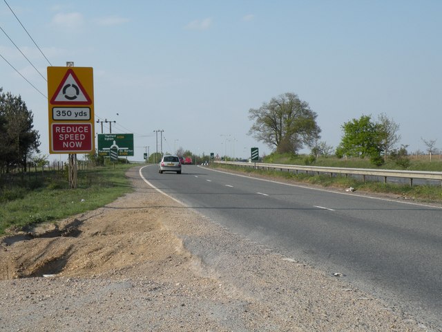
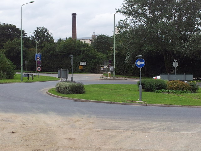
In terms of amenities, Fornham St. Martin offers a range of services to its residents. These include a village hall, a primary school, and a local pub. The village is well-connected to the surrounding area by road and public transport, making it easily accessible for both residents and visitors.
Overall, Fornham St. Martin is a peaceful and charming village that offers a tranquil retreat from the hustle and bustle of nearby towns. With its rich history, natural beauty, and strong sense of community, it is a delightful place to live or visit.
If you have any feedback on the listing, please let us know in the comments section below.
Fornham St. Martin Images
Images are sourced within 2km of 52.271242/0.726908 or Grid Reference TL8667. Thanks to Geograph Open Source API. All images are credited.


Fornham St. Martin is located at Grid Ref: TL8667 (Lat: 52.271242, Lng: 0.726908)
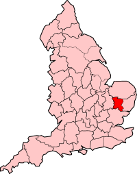
Administrative County: Suffolk
District: St Edmundsbury
Police Authority: Suffolk
What 3 Words
///example.magnitude.outhouse. Near Great Barton, Suffolk
Related Wikis
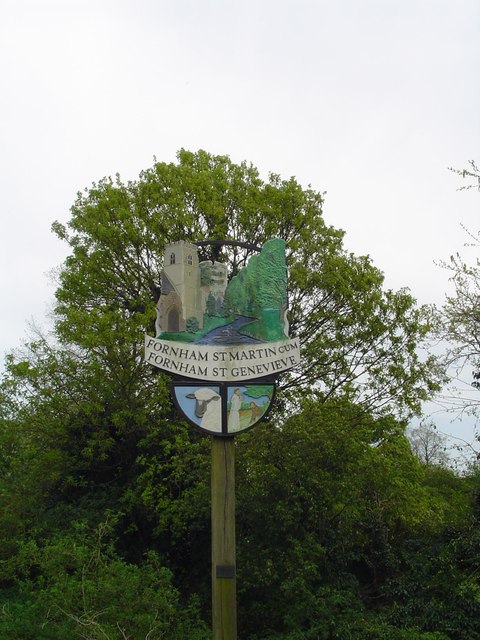
Fornham St Martin
Fornham St Martin is a village and civil parish in the West Suffolk district of Suffolk in eastern England. Located on the northern outskirts of Bury St...

Fornham St Genevieve
Fornham St Genevieve is a village and civil parish in the West Suffolk district of Suffolk in eastern England. It is one of a trio of contiguous villages...

Timworth
Timworth is a village and civil parish 65 mi (105 km) north east of London and 26 mi (42 km) east of Cambridge in the West Suffolk district of Suffolk...
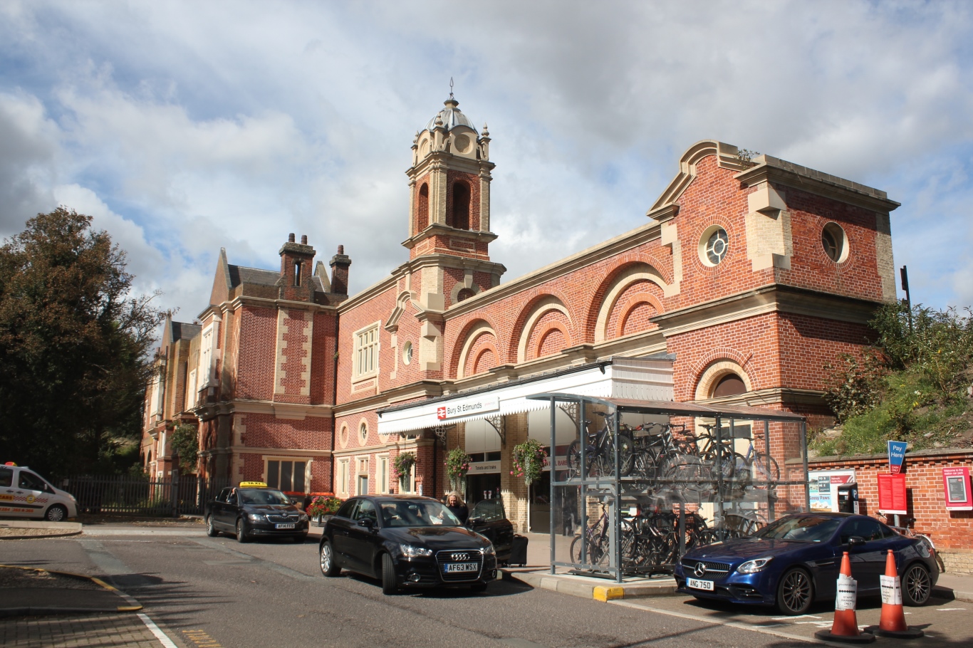
Bury St Edmunds railway station
Bury St Edmunds railway station serves the town of Bury St Edmunds in Suffolk, England. The station is on the Ipswich–Ely line and all trains calling there...

St Benedict's Catholic School
St Benedict's Catholic School is a coeducational Roman Catholic secondary school and sixth form in Bury St Edmunds, Suffolk, England. Opened in 1967, the...

Bury St Edmunds County High School
Bury St Edmunds County High School, previously Bury St Edmunds County Upper School, is a 13 to 19 co-educational comprehensive part of the Bury St Edmunds...
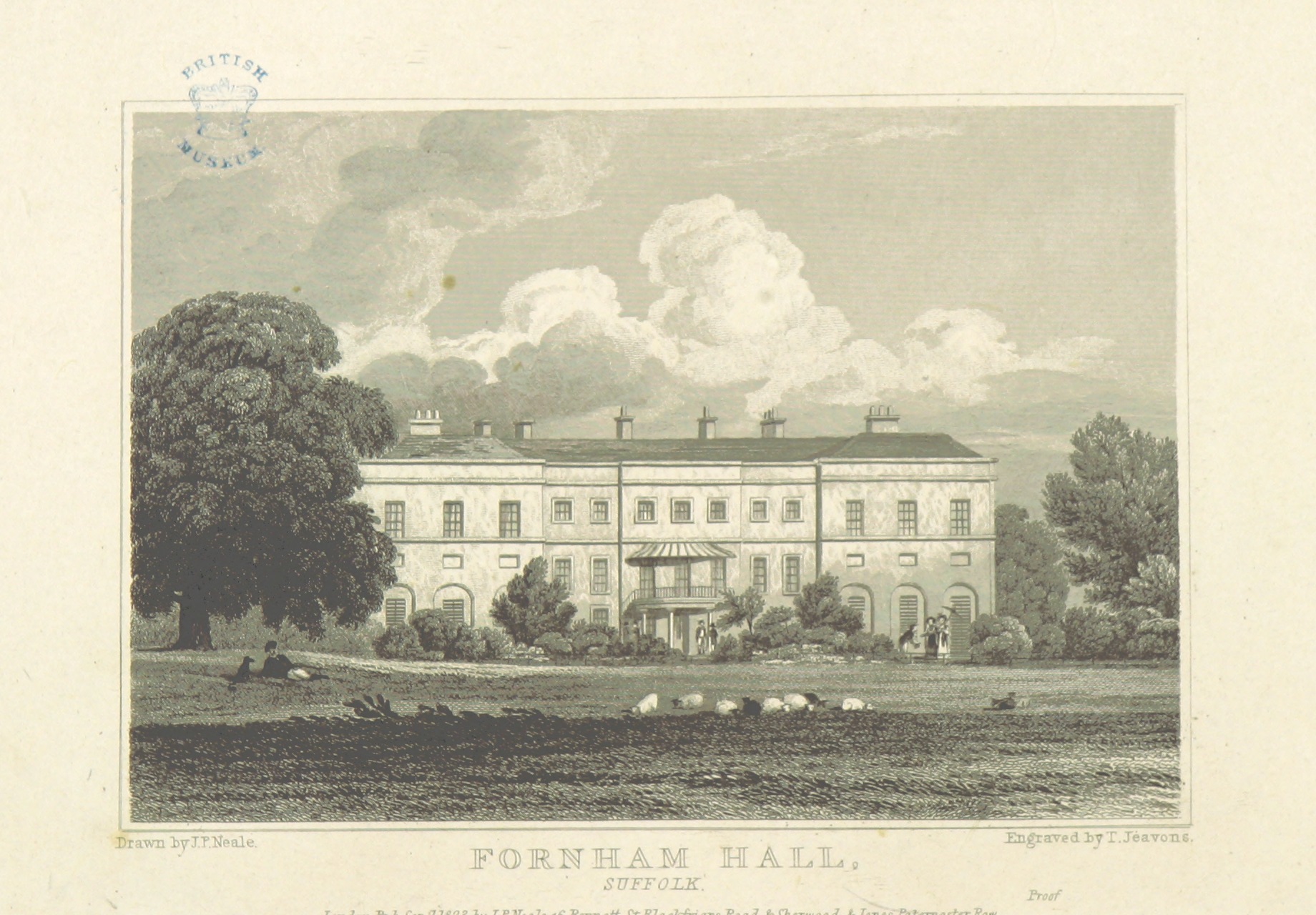
Fornham Hall
Fornham Hall was a large 18th-century country house near Bury St Edmunds. It was demolished in 1957. The Estate included manorial land is part of the parish...
West Suffolk (county)
West Suffolk was an administrative county of England created in 1889 from part of the county of Suffolk. It survived until 1974 when it was rejoined with...
Nearby Amenities
Located within 500m of 52.271242,0.726908Have you been to Fornham St. Martin?
Leave your review of Fornham St. Martin below (or comments, questions and feedback).