Ash Tree Belt
Wood, Forest in Suffolk West Suffolk
England
Ash Tree Belt
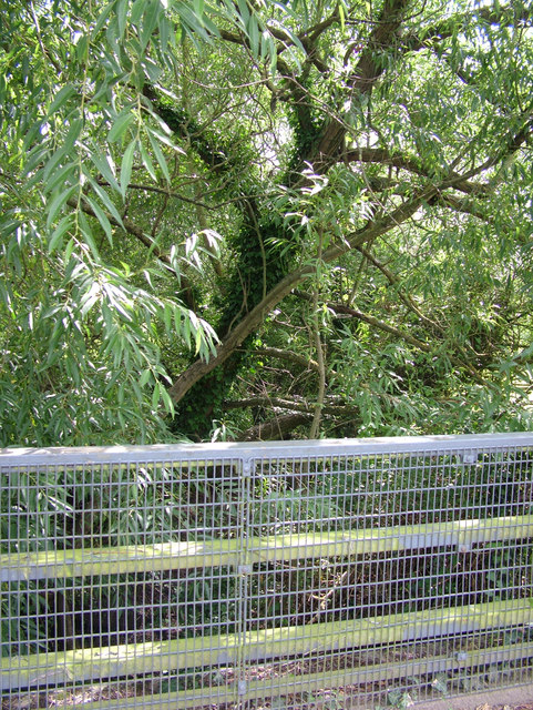
The Ash Tree Belt in Suffolk is a sprawling woodland area characterized by its abundance of ash trees. Located in the county of Suffolk, England, this forested region covers a significant portion of the landscape, providing a picturesque and serene environment for visitors and locals alike.
Stretching over several miles, the Ash Tree Belt is renowned for its diverse ecosystem, which supports a wide variety of flora and fauna. The dominant species in this woodland area is the ash tree, known for its slender, tall trunks and distinctive diamond-shaped leaves. These trees provide ample shade and create a tranquil atmosphere, making it a popular spot for nature enthusiasts and hikers.
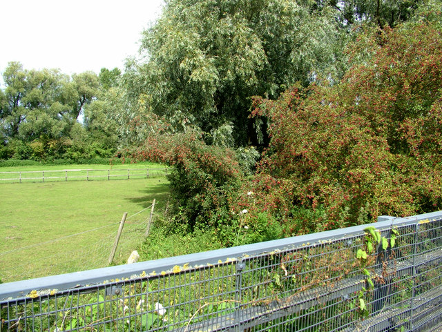
The Ash Tree Belt features well-maintained walking trails that meander through the forest, allowing visitors to explore its beauty at their own pace. The trails offer stunning views of the surrounding landscape, including rolling hills, meandering streams, and vibrant wildflowers. Birdwatchers will also find this area to be a haven, as it attracts a diverse range of bird species throughout the year.
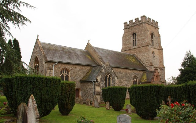
In addition to its natural beauty, the Ash Tree Belt also has historical significance. It is believed that parts of this woodland area have remained largely untouched for centuries, serving as a reminder of the region's rich cultural heritage.
Overall, the Ash Tree Belt in Suffolk is a captivating destination for those seeking tranquility and a connection with nature. With its lush greenery, diverse wildlife, and serene atmosphere, it offers a unique and memorable experience for visitors of all ages.
If you have any feedback on the listing, please let us know in the comments section below.
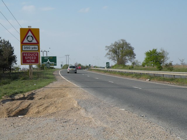
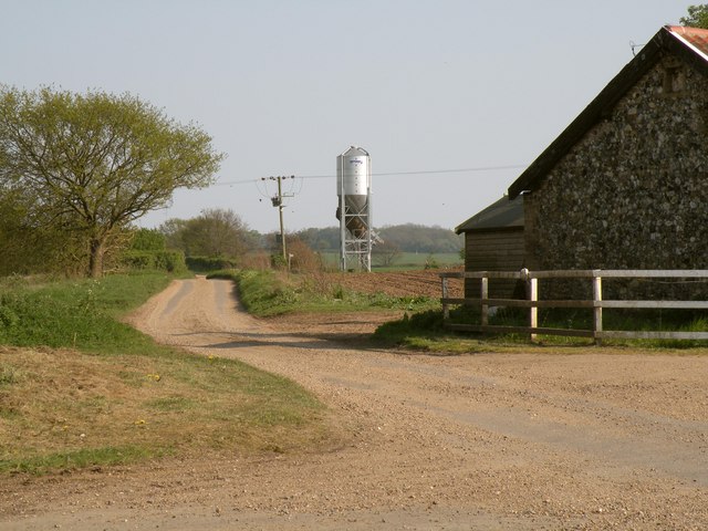
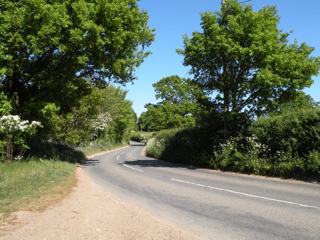
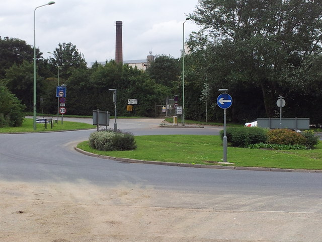
Ash Tree Belt Images
Images are sourced within 2km of 52.273977/0.73554927 or Grid Reference TL8667. Thanks to Geograph Open Source API. All images are credited.


Ash Tree Belt is located at Grid Ref: TL8667 (Lat: 52.273977, Lng: 0.73554927)
Administrative County: Suffolk
District: West Suffolk
Police Authority: Suffolk
What 3 Words
///revolting.giving.snuggle. Near Great Barton, Suffolk
Related Wikis
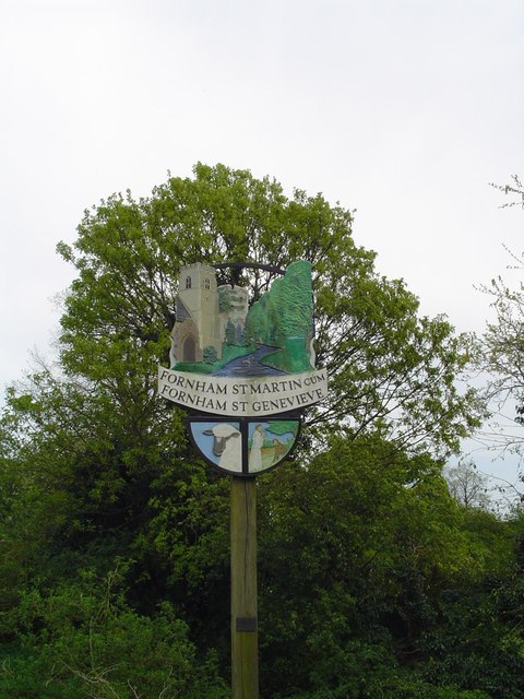
Fornham St Martin
Fornham St Martin is a village and civil parish in the West Suffolk district of Suffolk in eastern England. Located on the northern outskirts of Bury St...

Timworth
Timworth is a village and civil parish 65 mi (105 km) north east of London and 26 mi (42 km) east of Cambridge in the West Suffolk district of Suffolk...

Fornham St Genevieve
Fornham St Genevieve is a village and civil parish in the West Suffolk district of Suffolk in eastern England. It is one of a trio of contiguous villages...

Conyer's Green
Conyer's Green is a village in the civil parish of Great Barton, in the West Suffolk district, in the county of Suffolk, England.

Great Barton
Great Barton is a large village and civil parish in the West Suffolk district of Suffolk, England, about 3 miles (5 km) East of Bury St Edmunds on the...

Bury St Edmunds railway station
Bury St Edmunds railway station serves the town of Bury St Edmunds in Suffolk, England. The station is on the Ipswich–Ely line and all trains calling there...
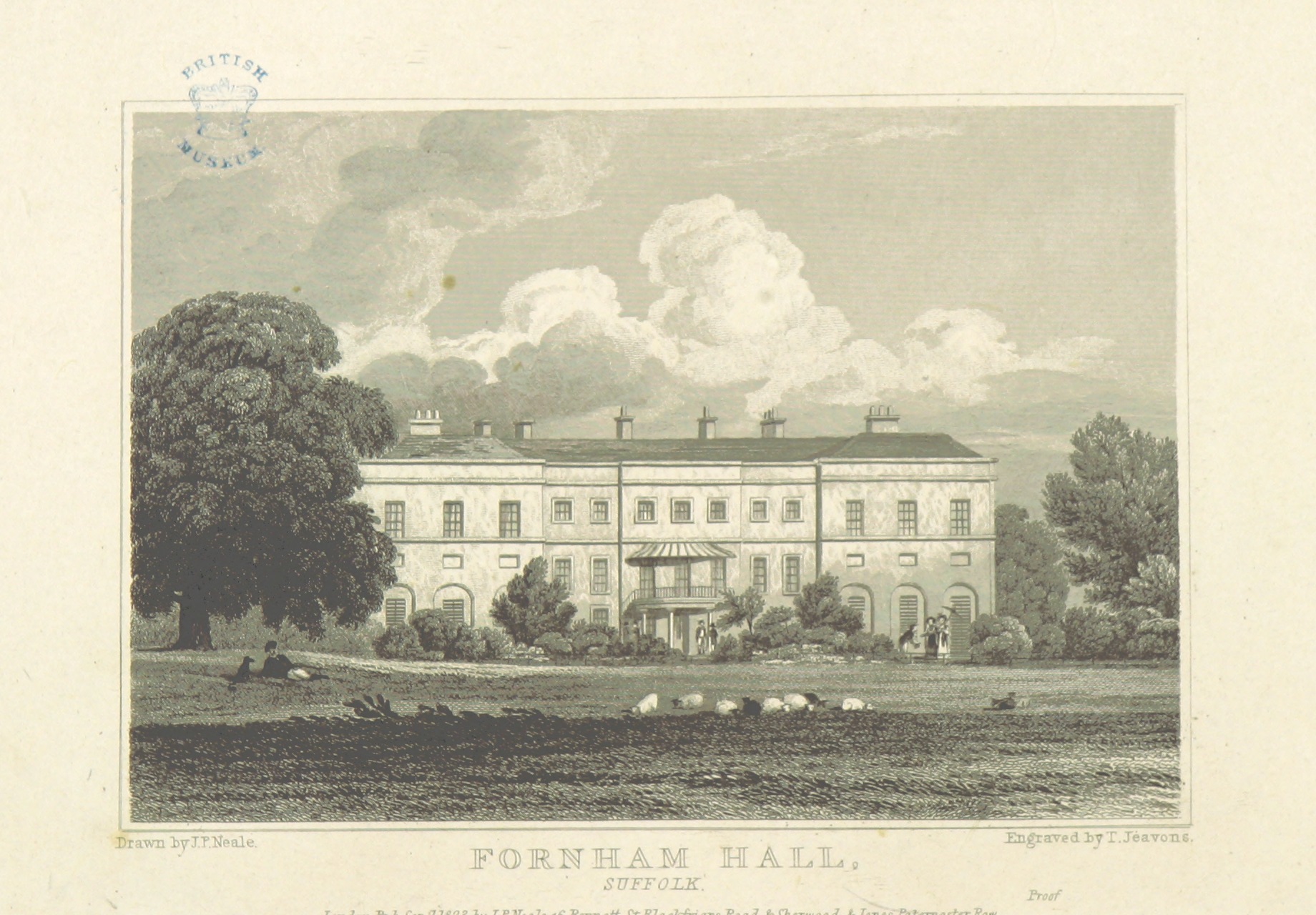
Fornham Hall
Fornham Hall was a large 18th-century country house near Bury St Edmunds. It was demolished in 1957. The Estate included manorial land is part of the parish...

St Benedict's Catholic School
St Benedict's Catholic School is a coeducational Roman Catholic secondary school and sixth form in Bury St Edmunds, Suffolk, England. Opened in 1967, the...
Nearby Amenities
Located within 500m of 52.273977,0.73554927Have you been to Ash Tree Belt?
Leave your review of Ash Tree Belt below (or comments, questions and feedback).