Farm Covert
Wood, Forest in Suffolk West Suffolk
England
Farm Covert
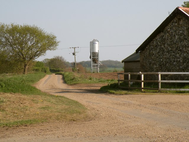
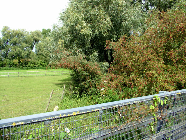
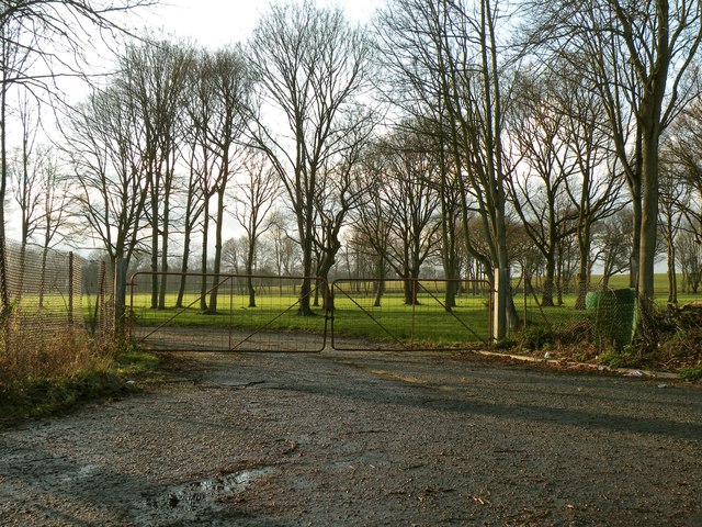
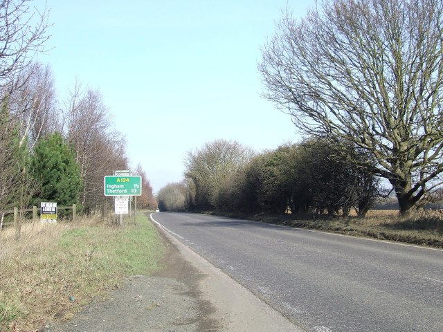
Farm Covert is a picturesque woodland located in Suffolk, England. Covering an area of approximately 200 acres, it is a thriving example of a woodland ecosystem. The farm is nestled within the beautiful Suffolk countryside and is characterized by its diverse range of trees and wildlife.
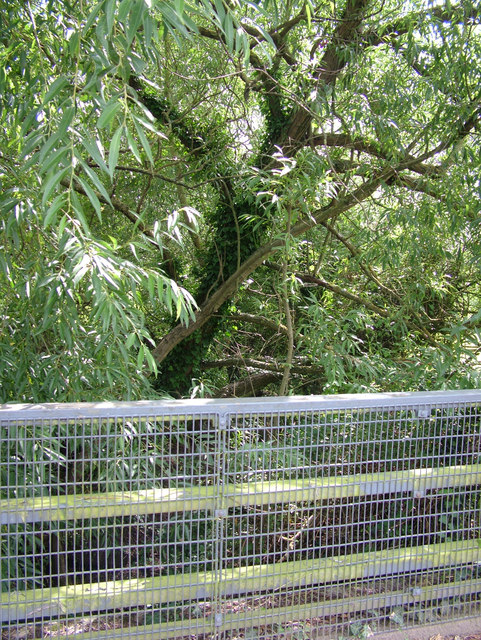
The woodland is primarily composed of native tree species, including oak, beech, and ash. These majestic trees provide a dense canopy that creates a cool and shaded environment beneath. The forest floor is covered in a rich carpet of mosses, ferns, and wildflowers, adding to the area's natural beauty.
Farm Covert is home to a wide variety of wildlife. Bird enthusiasts will be delighted by the presence of woodpeckers, jays, and various species of owls. Deer can often be spotted grazing amongst the trees, and squirrels can be seen darting through the branches. The woodland also supports a diverse range of insects, including butterflies and beetles.
Aside from its natural beauty, Farm Covert also serves as an important educational and recreational resource for the local community. Many nature enthusiasts visit the woodland to explore its trails and enjoy the peaceful atmosphere. The farm also offers educational programs for schools, allowing children to learn about the importance of conservation and the natural world.
Overall, Farm Covert is a truly enchanting woodland, offering a haven for wildlife and a place of tranquility for visitors. Its diverse range of trees, abundant wildlife, and educational opportunities make it a valuable asset to the Suffolk countryside.
If you have any feedback on the listing, please let us know in the comments section below.
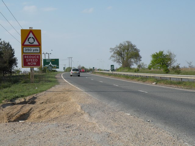
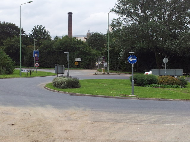
Farm Covert Images
Images are sourced within 2km of 52.272982/0.73111945 or Grid Reference TL8667. Thanks to Geograph Open Source API. All images are credited.


Farm Covert is located at Grid Ref: TL8667 (Lat: 52.272982, Lng: 0.73111945)
Administrative County: Suffolk
District: West Suffolk
Police Authority: Suffolk
What 3 Words
///playroom.station.roughest. Near Great Barton, Suffolk
Related Wikis
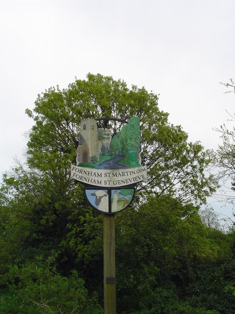
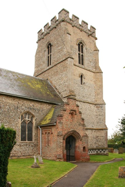
Fornham St Martin
Fornham St Martin is a village and civil parish in the West Suffolk district of Suffolk in eastern England. Located on the northern outskirts of Bury St...

Fornham St Genevieve
Fornham St Genevieve is a village and civil parish in the West Suffolk district of Suffolk in eastern England. It is one of a trio of contiguous villages...

Timworth
Timworth is a village and civil parish 65 mi (105 km) north east of London and 26 mi (42 km) east of Cambridge in the West Suffolk district of Suffolk...

Conyer's Green
Conyer's Green is a village in the civil parish of Great Barton, in the West Suffolk district, in the county of Suffolk, England.
Nearby Amenities
Located within 500m of 52.272982,0.73111945Have you been to Farm Covert?
Leave your review of Farm Covert below (or comments, questions and feedback).