Twentyfour Acre Clump
Wood, Forest in Suffolk West Suffolk
England
Twentyfour Acre Clump
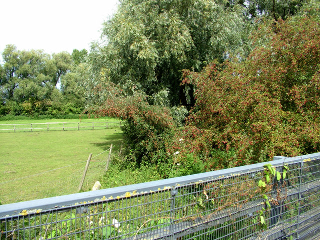
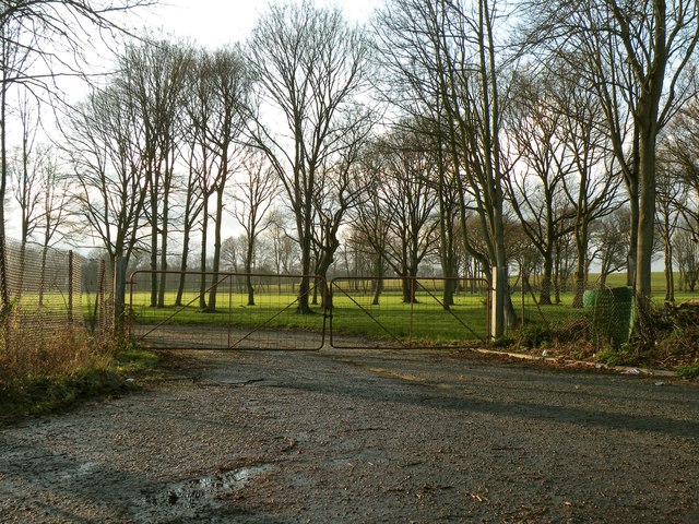
Twentyfour Acre Clump is a picturesque wood located in Suffolk, England. Covering an area of approximately twenty-four acres, this forested area is a popular destination for nature enthusiasts and hikers alike.
The Clump, as it is commonly referred to, is characterized by its dense canopy of mixed broadleaf and conifer trees, creating a serene and tranquil atmosphere. The variety of tree species present in the woodland includes oak, birch, beech, and pine, adding to the biodiversity of the area.
Walking through the Clump, visitors can enjoy the sight of vibrant wildflowers carpeting the forest floor during spring and summer months. The woodland is also home to a diverse range of wildlife, including deer, squirrels, and a multitude of bird species. Birdwatchers can spot woodpeckers, owls, and various songbirds while exploring the forest trails.
The Clump offers several well-maintained footpaths that meander through the woods, allowing visitors to immerse themselves in the natural beauty of the area. These paths are suitable for all ages and skill levels, making it an ideal destination for families and avid walkers.
Managed by the local council, Twentyfour Acre Clump provides a peaceful retreat away from the hustle and bustle of everyday life. Whether one seeks solitude, a scenic stroll, or the chance to observe wildlife, this woodland offers a serene escape in the heart of Suffolk.
If you have any feedback on the listing, please let us know in the comments section below.
Twentyfour Acre Clump Images
Images are sourced within 2km of 52.272076/0.72634346 or Grid Reference TL8667. Thanks to Geograph Open Source API. All images are credited.


Twentyfour Acre Clump is located at Grid Ref: TL8667 (Lat: 52.272076, Lng: 0.72634346)
Administrative County: Suffolk
District: West Suffolk
Police Authority: Suffolk
What 3 Words
///limit.encloses.bedspread. Near Great Barton, Suffolk
Related Wikis
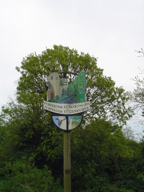
Fornham St Martin
Fornham St Martin is a village and civil parish in the West Suffolk district of Suffolk in eastern England. Located on the northern outskirts of Bury St...

Fornham St Genevieve
Fornham St Genevieve is a village and civil parish in the West Suffolk district of Suffolk in eastern England. It is one of a trio of contiguous villages...

Timworth
Timworth is a village and civil parish 65 mi (105 km) north east of London and 26 mi (42 km) east of Cambridge in the West Suffolk district of Suffolk...
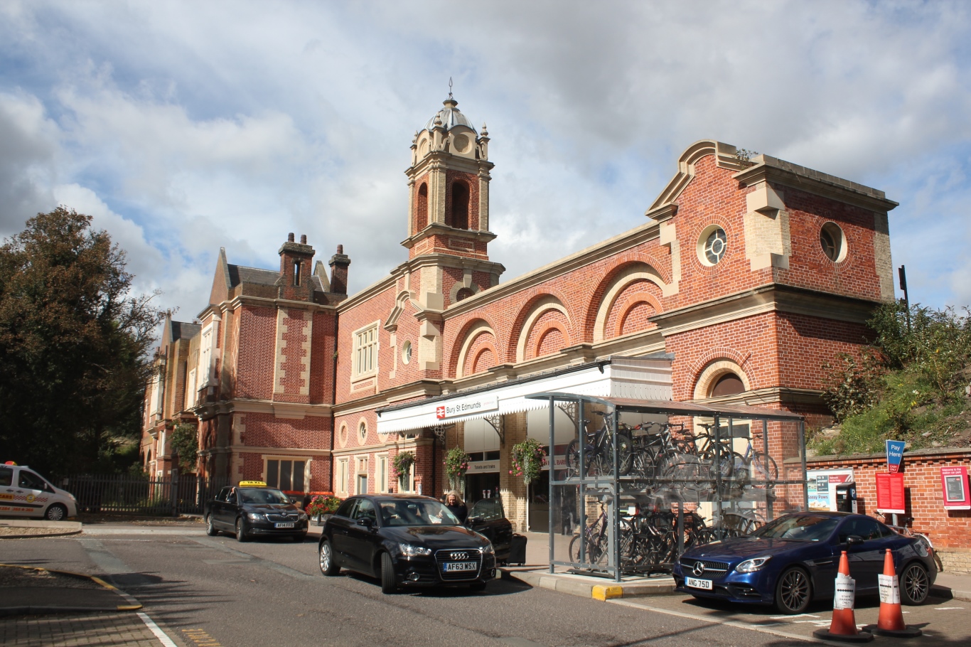
Bury St Edmunds railway station
Bury St Edmunds railway station serves the town of Bury St Edmunds in Suffolk, England. The station is on the Ipswich–Ely line and all trains calling there...

St Benedict's Catholic School
St Benedict's Catholic School is a coeducational Roman Catholic secondary school and sixth form in Bury St Edmunds, Suffolk, England. Opened in 1967, the...
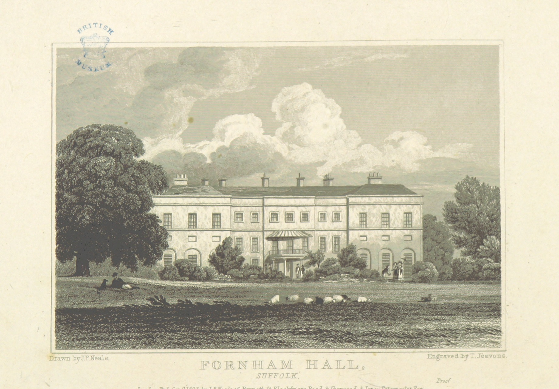
Fornham Hall
Fornham Hall was a large 18th-century country house near Bury St Edmunds. It was demolished in 1957. The Estate included manorial land is part of the parish...

Bury St Edmunds County High School
Bury St Edmunds County High School, previously Bury St Edmunds County Upper School, is a 13 to 19 co-educational comprehensive part of the Bury St Edmunds...

Fornham All Saints
Fornham All Saints is a village and civil parish in Suffolk, England in the West Suffolk district. It is north-northwest of the town of Bury St Edmunds...
Nearby Amenities
Located within 500m of 52.272076,0.72634346Have you been to Twentyfour Acre Clump?
Leave your review of Twentyfour Acre Clump below (or comments, questions and feedback).