Ash Tree Clump
Wood, Forest in Suffolk West Suffolk
England
Ash Tree Clump
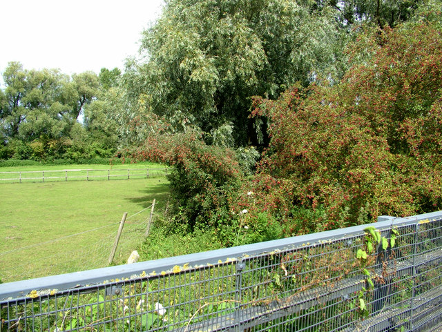
Ash Tree Clump is a picturesque woodland located in Suffolk, England. Spanning over a sprawling area of land, it is known for its dense concentration of ash trees. This woodland is a prominent feature of the Suffolk landscape and is home to a diverse range of flora and fauna.
The forest boasts a vibrant ecosystem, with a variety of wildlife thriving within its boundaries. Numerous bird species, including the great spotted woodpecker and the tawny owl, can be spotted in the area. The forest floor is adorned with an array of wildflowers, providing a colorful tapestry during the spring and summer months.
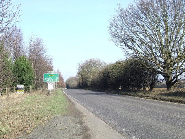
Ash Tree Clump offers an ideal location for nature enthusiasts and outdoor enthusiasts alike. Visitors can explore its numerous walking trails, which wind through the towering trees and provide breathtaking views of the surrounding countryside. Nature lovers will appreciate the tranquility and beauty of this woodland, as it offers a peaceful retreat from the hustle and bustle of everyday life.
The forest is also a popular destination for birdwatchers and wildlife photographers, who flock to the area in search of rare and elusive species. The sheer abundance of wildlife in Ash Tree Clump makes it a haven for nature lovers and a valuable resource for conservation efforts.
In conclusion, Ash Tree Clump in Suffolk is a remarkable woodland that showcases the beauty of nature. With its dense ash tree population, diverse wildlife, and scenic walking trails, it offers an enchanting experience for visitors seeking to immerse themselves in the natural wonders of Suffolk.
If you have any feedback on the listing, please let us know in the comments section below.
Ash Tree Clump Images
Images are sourced within 2km of 52.273522/0.73383538 or Grid Reference TL8667. Thanks to Geograph Open Source API. All images are credited.


Ash Tree Clump is located at Grid Ref: TL8667 (Lat: 52.273522, Lng: 0.73383538)
Administrative County: Suffolk
District: West Suffolk
Police Authority: Suffolk
What 3 Words
///salad.compress.closer. Near Great Barton, Suffolk
Related Wikis
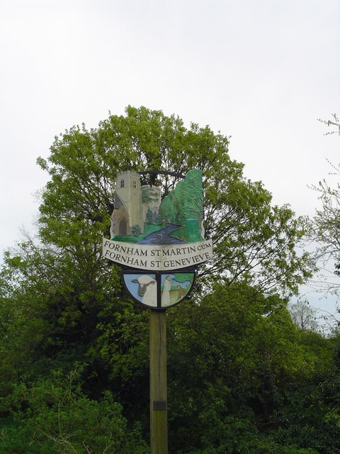
Fornham St Martin
Fornham St Martin is a village and civil parish in the West Suffolk district of Suffolk in eastern England. Located on the northern outskirts of Bury St...

Fornham St Genevieve
Fornham St Genevieve is a village and civil parish in the West Suffolk district of Suffolk in eastern England. It is one of a trio of contiguous villages...

Timworth
Timworth is a village and civil parish 65 mi (105 km) north east of London and 26 mi (42 km) east of Cambridge in the West Suffolk district of Suffolk...

Conyer's Green
Conyer's Green is a village in the civil parish of Great Barton, in the West Suffolk district, in the county of Suffolk, England.

Great Barton
Great Barton is a large village and civil parish in the West Suffolk district of Suffolk, England, about 3 miles (5 km) East of Bury St Edmunds on the...
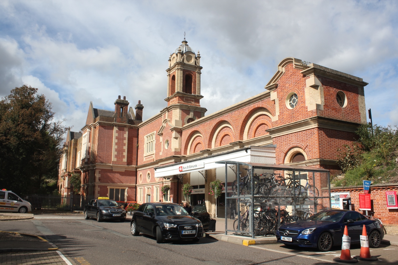
Bury St Edmunds railway station
Bury St Edmunds railway station serves the town of Bury St Edmunds in Suffolk, England. The station is on the Ipswich–Ely line and all trains calling there...
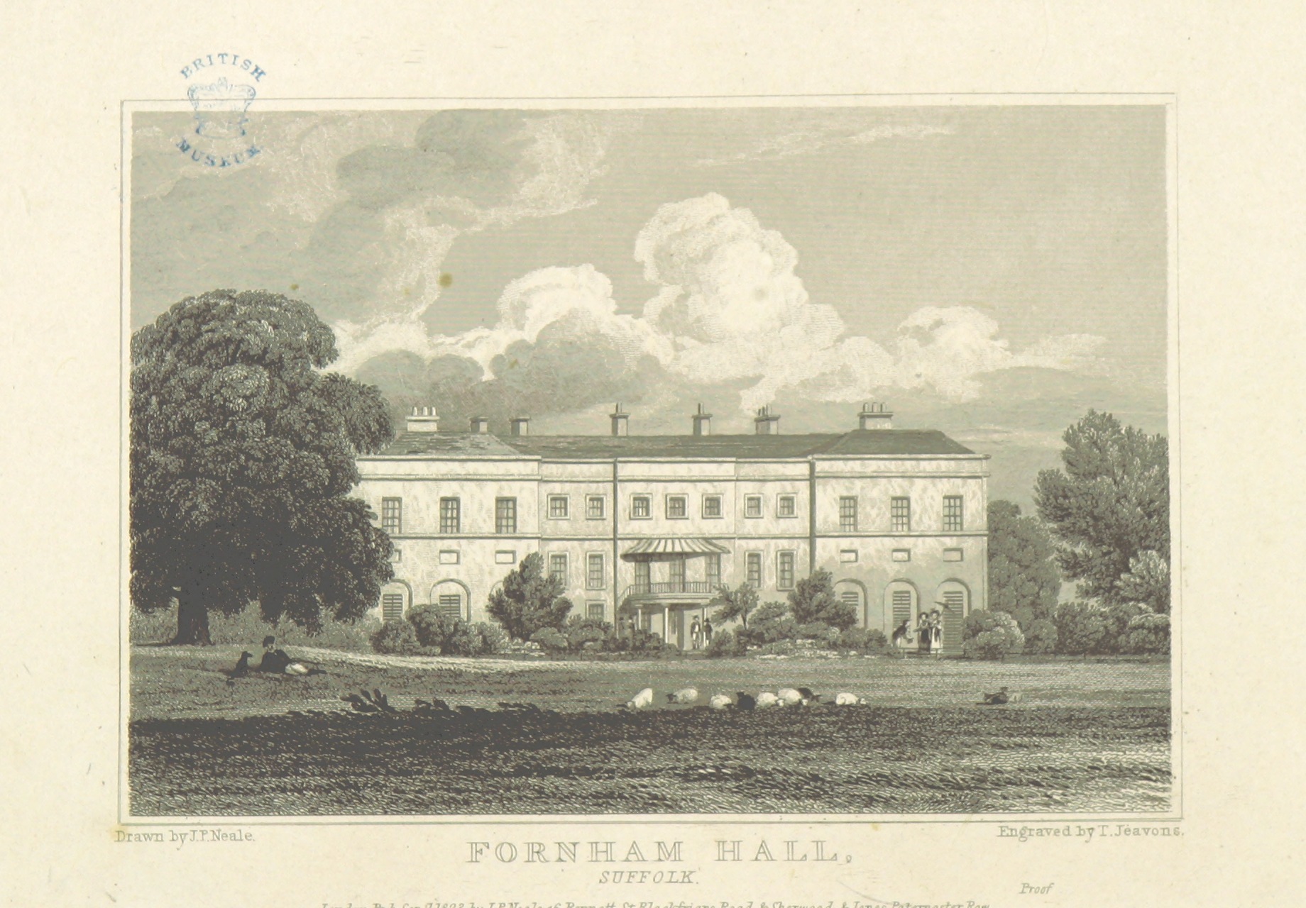
Fornham Hall
Fornham Hall was a large 18th-century country house near Bury St Edmunds. It was demolished in 1957. The Estate included manorial land is part of the parish...

St Benedict's Catholic School
St Benedict's Catholic School is a coeducational Roman Catholic secondary school and sixth form in Bury St Edmunds, Suffolk, England. Opened in 1967, the...
Nearby Amenities
Located within 500m of 52.273522,0.73383538Have you been to Ash Tree Clump?
Leave your review of Ash Tree Clump below (or comments, questions and feedback).