Brockham End
Settlement in Somerset
England
Brockham End

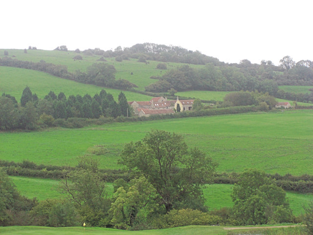
Brockham End is a small hamlet located in the county of Somerset, England. Situated approximately 8 miles south of the county town of Taunton, it is nestled in the picturesque countryside of the Somerset Levels.
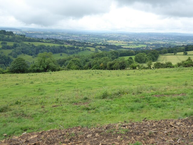
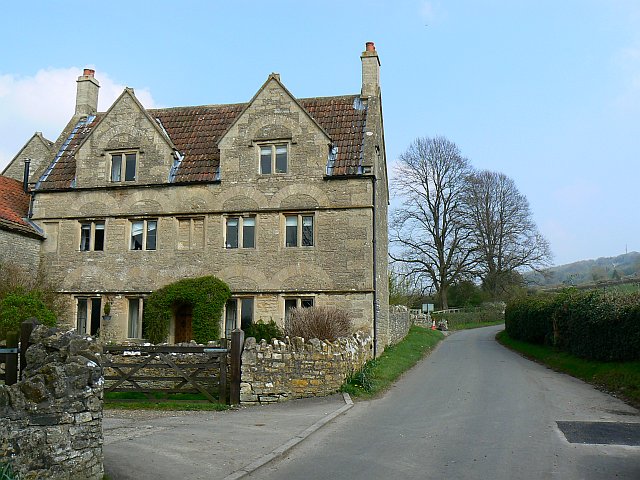
The hamlet is characterized by its quaint and charming atmosphere, with a handful of traditional stone cottages scattered across the landscape. The surrounding area is predominantly agricultural, with rolling fields and farmland stretching as far as the eye can see. The hamlet is surrounded by lush greenery, offering residents and visitors a peaceful and idyllic setting.
Despite its small size and rural location, Brockham End is well-connected to nearby towns and cities. The M5 motorway is easily accessible, providing convenient links to larger urban centers such as Bristol and Exeter. The nearby Taunton railway station also offers regular services to London and other major cities.
The hamlet itself does not have its own amenities, such as shops or pubs, but residents can find a range of facilities in the nearby towns of Taunton and Wellington. These include supermarkets, schools, medical centers, and a variety of retail and leisure options.
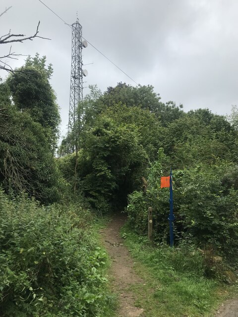
Brockham End is a popular destination for nature enthusiasts and outdoor lovers due to its proximity to the stunning Somerset countryside. It offers plenty of opportunities for activities such as hiking, cycling, and birdwatching. The nearby Somerset Levels and Exmoor National Park provide further options for exploration and outdoor adventures.
Overall, Brockham End is a picturesque and tranquil hamlet, offering residents and visitors a peaceful retreat from the hustle and bustle of urban life.
If you have any feedback on the listing, please let us know in the comments section below.
Brockham End Images
Images are sourced within 2km of 51.419266/-2.418432 or Grid Reference ST7169. Thanks to Geograph Open Source API. All images are credited.


Brockham End is located at Grid Ref: ST7169 (Lat: 51.419266, Lng: -2.418432)
Unitary Authority: Bath and North East Somerset
Police Authority: Avon and Somerset
What 3 Words
///names.rally.dices. Near Bitton, Gloucestershire
Nearby Locations
Related Wikis

Bath Racecourse
Bath Racecourse is a thoroughbred horse racing venue on Lansdown Hill, about 3+1⁄4 miles (5.2 km) northeast of Bath, Somerset, England. It is owned and...

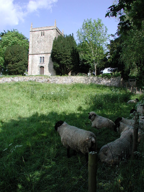
Church of St Martin, North Stoke
The Church of St Martin in North Stoke, Somerset, England dates from the 12th century and is a Grade II* listed building. == History == There is evidence...
North Stoke, Somerset
North Stoke is a village within the civil parish of Kelston in the Bath and North East Somerset (BANES) unitary authority within the historic county of...

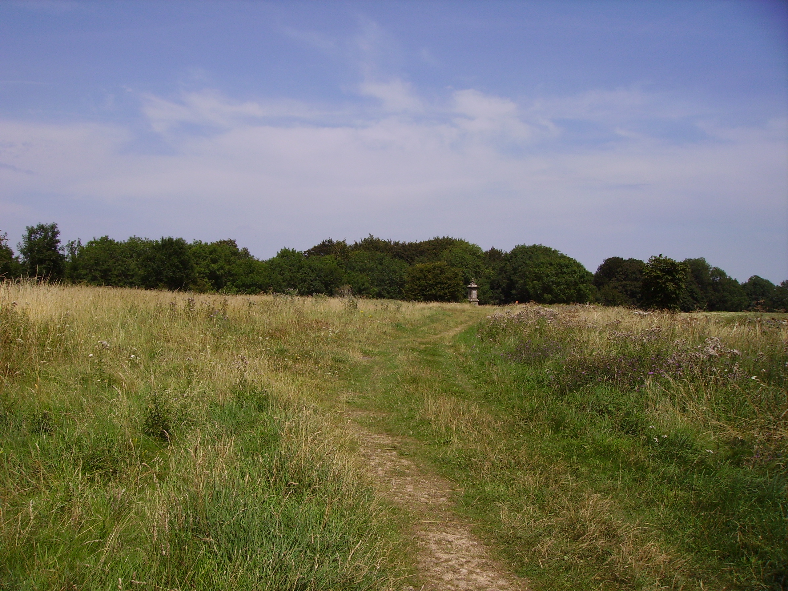
Congrove Field and The Tumps
Congrove Field and The Tumps is a (grid reference ST713698) is a 14.2 hectares (35 acres) biological Site of Special Scientific Interest (SSSI) on Lansdown...
Battle of Lansdowne
The First English Civil War battle of Lansdowne, or Lansdown, was fought on 5 July 1643, at Lansdowne Hill, near Bath, Somerset, England. Although the...
Beach, Gloucestershire
Beach is a hamlet in South Gloucestershire, England, in the parish of Bitton, on the lower northern slopes of Lansdown Hill. It is about 1 mile north-west...
Swineford
Swineford is a hamlet in the South Gloucestershire council area, very close to the boundary with Bath and North East Somerset. It is located around 1 km...
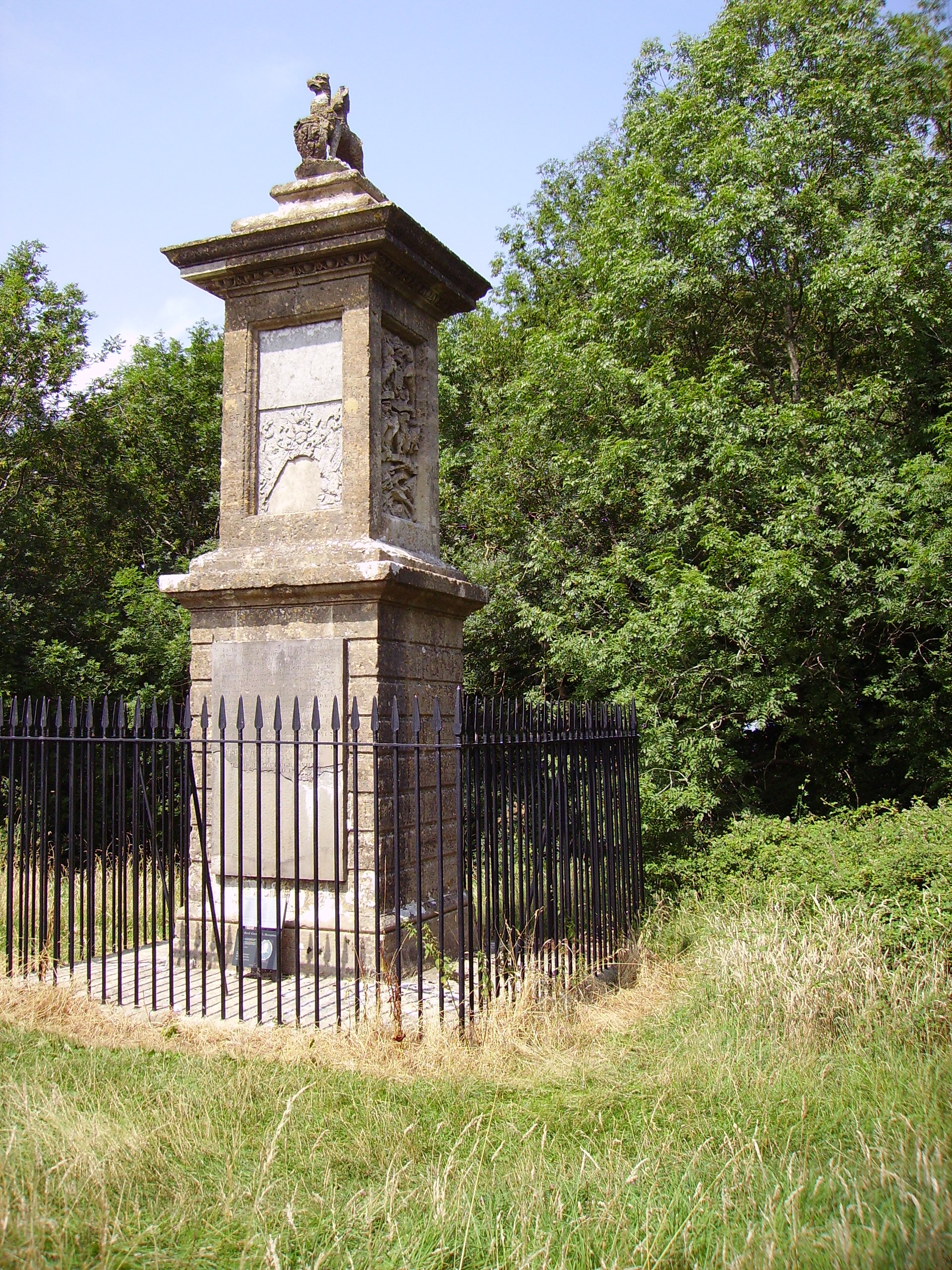
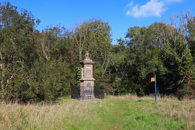
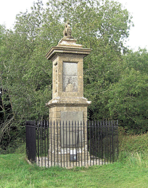
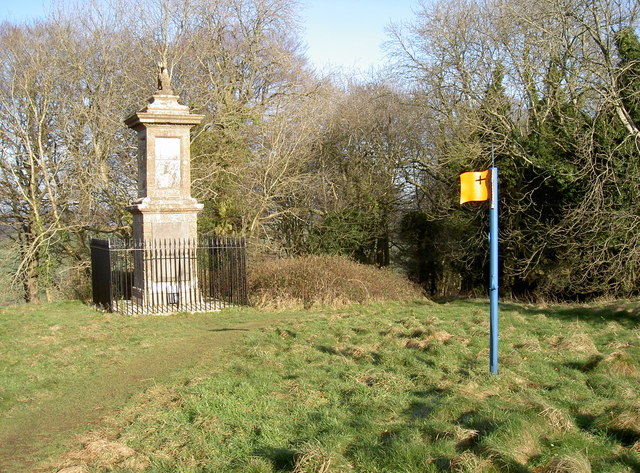
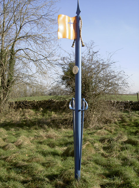
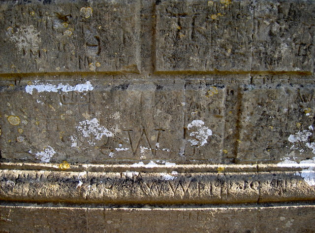
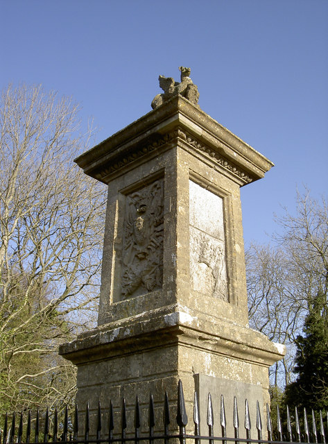
Sir Bevil Grenville's Monument
Sir Bevil Grenville's Monument is a monument erected in 1720 on Lansdown Hill, then called Lansdowne Hill, in Charlcombe parish about 4 miles (6.4 km)...
Nearby Amenities
Located within 500m of 51.419266,-2.418432Have you been to Brockham End?
Leave your review of Brockham End below (or comments, questions and feedback).