Pipley Wood
Wood, Forest in Somerset
England
Pipley Wood

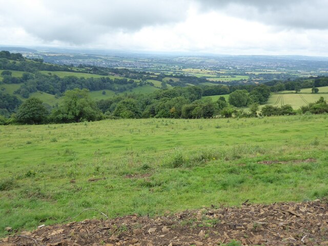
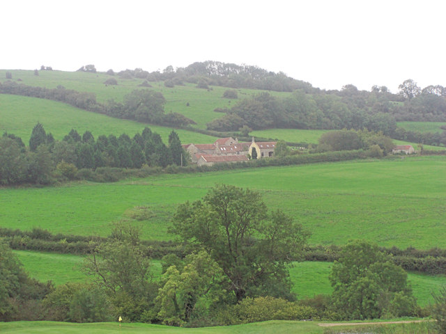
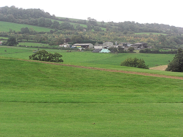
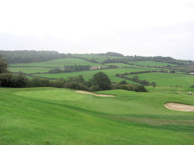
Pipley Wood is a picturesque woodland located in Somerset, England. Situated near the small village of Timsbury, the wood covers an area of approximately 56 hectares and is considered an important natural habitat for a wide variety of flora and fauna.
The wood is primarily composed of mixed broadleaf trees, including oak, beech, and ash, which create a dense canopy that provides shelter for numerous bird species such as tawny owls, woodpeckers, and warblers. The forest floor is covered in a thick carpet of bluebells during the spring, creating a stunning display of color.
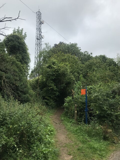
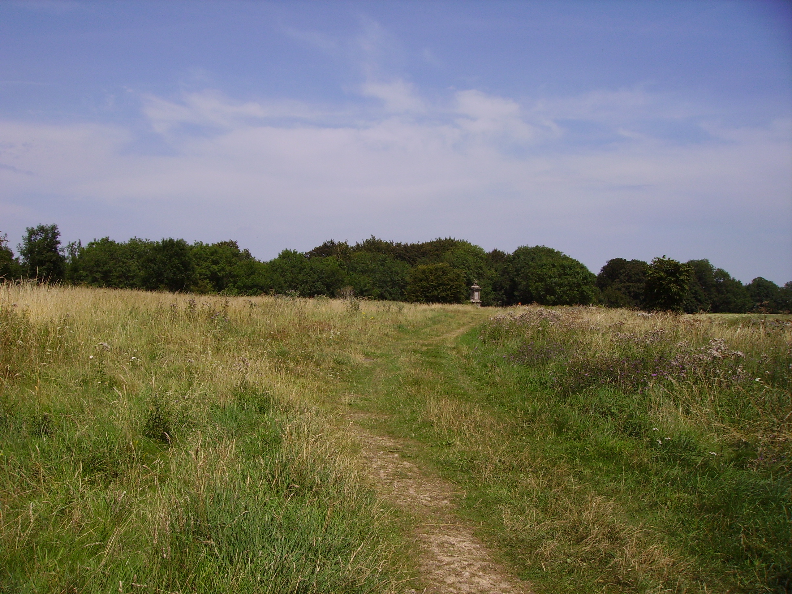
Pipley Wood is crisscrossed by a network of footpaths and trails, allowing visitors to explore its beauty at their leisure. The wood is a popular destination for hikers, nature enthusiasts, and photographers, who are drawn to its tranquil atmosphere and abundant wildlife.
In addition to its natural beauty, Pipley Wood has a rich history. It is believed to have been a part of the Royal Forest of Selwood in medieval times, and remnants of ancient boundary banks can still be seen within the wood. The wood has also been managed sustainably for centuries, with traditional woodland management practices such as coppicing and pollarding still being carried out to this day.
Overall, Pipley Wood is a cherished natural gem in Somerset, offering a peaceful escape from the hustle and bustle of daily life and providing a haven for wildlife and visitors alike.
If you have any feedback on the listing, please let us know in the comments section below.
Pipley Wood Images
Images are sourced within 2km of 51.42309/-2.4126135 or Grid Reference ST7169. Thanks to Geograph Open Source API. All images are credited.


Pipley Wood is located at Grid Ref: ST7169 (Lat: 51.42309, Lng: -2.4126135)
Unitary Authority: Bath and North East Somerset
Police Authority: Avon and Somerset
What 3 Words
///butlers.revolts.slip. Near Bitton, Gloucestershire
Nearby Locations
Related Wikis

Congrove Field and The Tumps
Congrove Field and The Tumps is a (grid reference ST713698) is a 14.2 hectares (35 acres) biological Site of Special Scientific Interest (SSSI) on Lansdown...

Bath Racecourse
Bath Racecourse is a thoroughbred horse racing venue on Lansdown Hill, about 3+1⁄4 miles (5.2 km) northeast of Bath, Somerset, England. It is owned and...

Church of St Martin, North Stoke
The Church of St Martin in North Stoke, Somerset, England dates from the 12th century and is a Grade II* listed building. == History == There is evidence...
Battle of Lansdowne
The First English Civil War battle of Lansdowne, or Lansdown, was fought on 5 July 1643, at Lansdowne Hill, near Bath, Somerset, England. Although the...
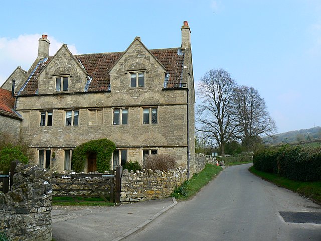
North Stoke, Somerset
North Stoke is a village within the civil parish of Kelston in the Bath and North East Somerset (BANES) unitary authority within the historic county of...
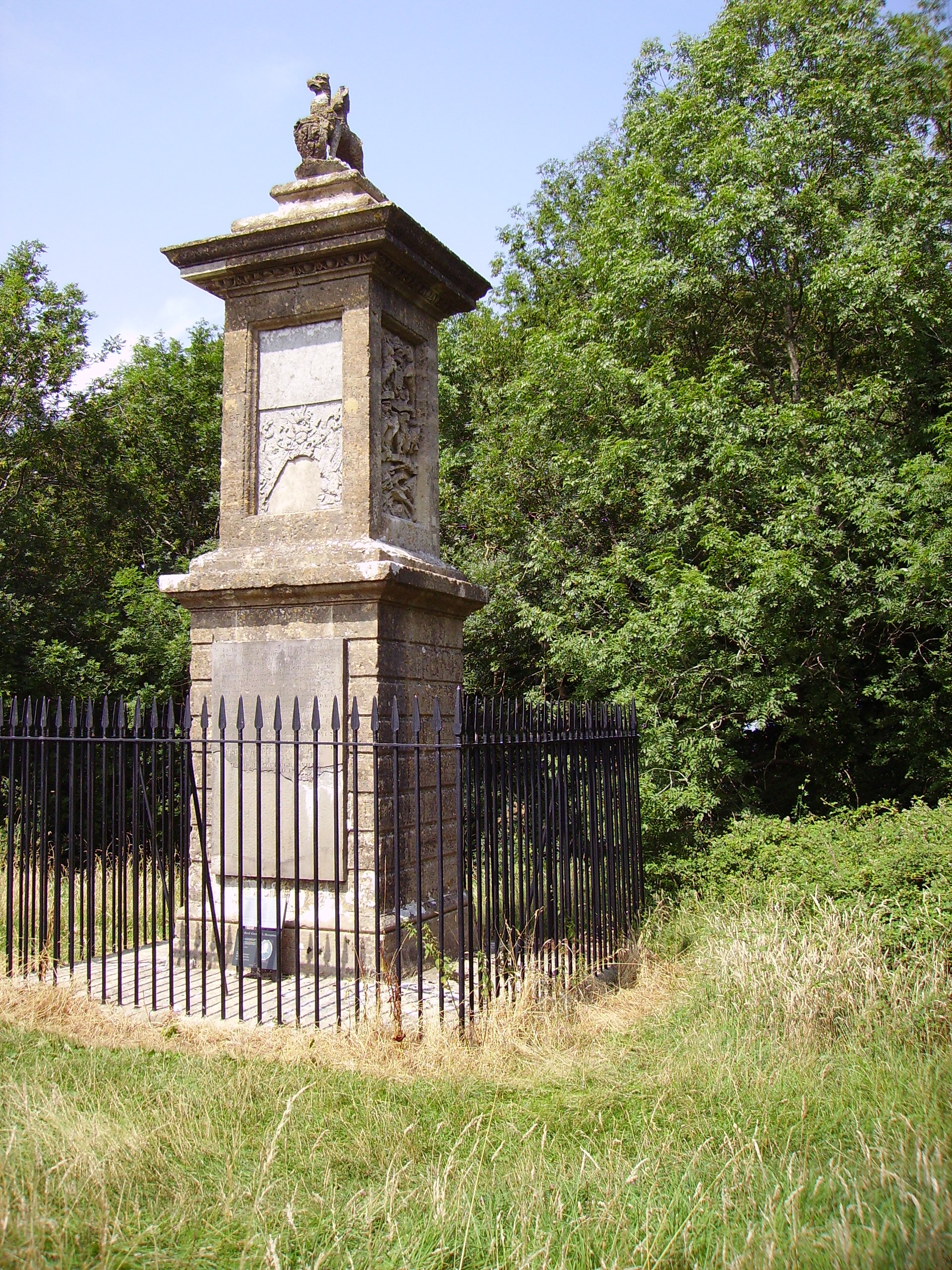
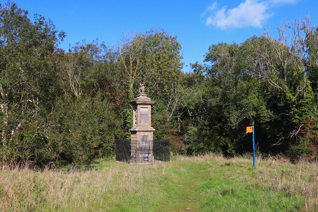
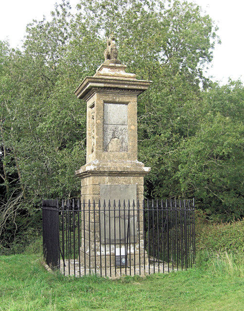
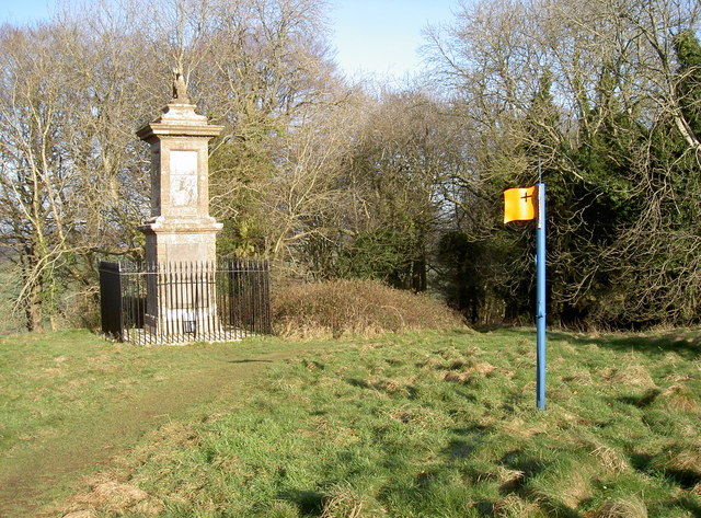
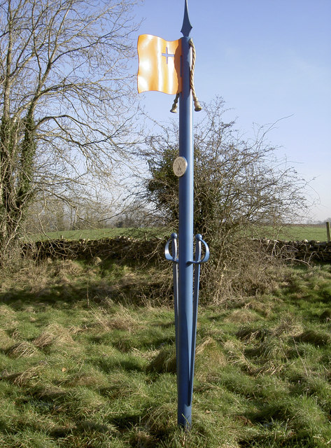
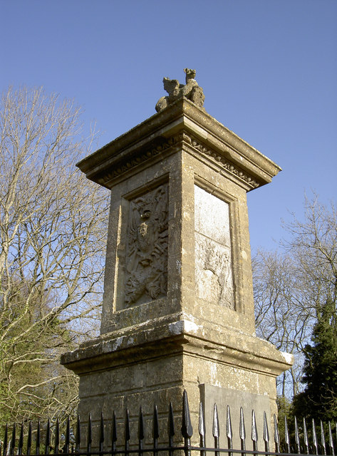
Sir Bevil Grenville's Monument
Sir Bevil Grenville's Monument is a monument erected in 1720 on Lansdown Hill, then called Lansdowne Hill, in Charlcombe parish about 4 miles (6.4 km)...
Beach, Gloucestershire
Beach is a hamlet in South Gloucestershire, England, in the parish of Bitton, on the lower northern slopes of Lansdown Hill. It is about 1 mile north-west...
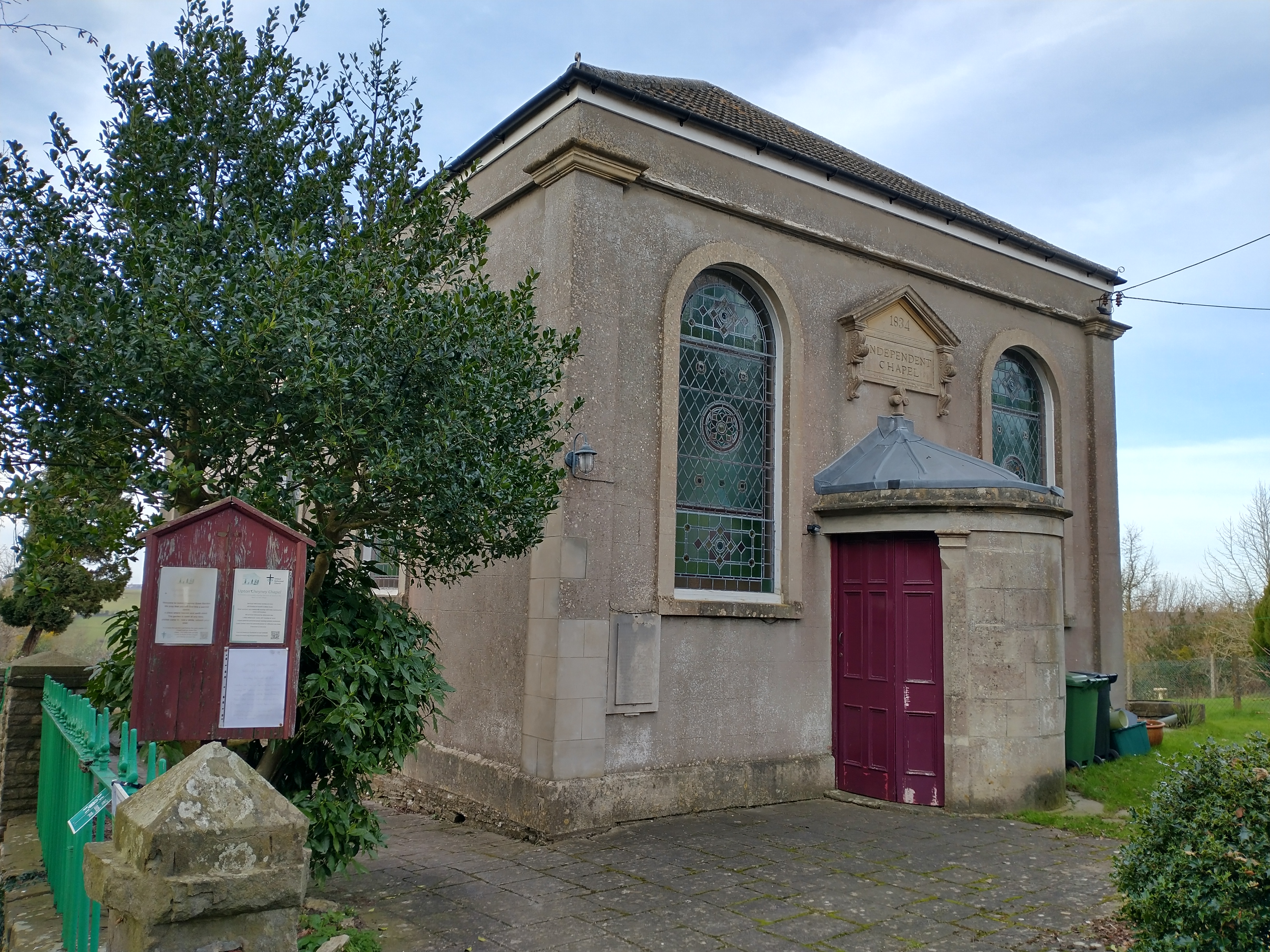
Upton Cheyney
Upton Cheyney is a village near to Bitton and Bristol in South Gloucestershire, England, in the parish of Bitton. It has a population of about 140 in 60...
Related Videos

A night in the Somerset Countryside, England (Travel Vlog)
My first travel vlog.. Join me in the Somerset Countryside in England! Follow what I am up to: . My Blog- ...

Bath Marina. Even boats struggled in the floods! #floods #flooding #bath #somerset #travel #holidays
We see the boats in Bath Marina are having trouble. The residents can't get off their boats due to the river Avon breaking its banks.

A hike up to Kelston Roundhill
On a grey friday in January I took myself, my cameras and my Lowa hiking boots up the muddy paths to Kelston Roundhill in Bath.

holiday home tour || Sushi Circle 5th anniversary
2021 August 16 to 18 Location:- https://abnb.me/qkDW47wRBib.
Nearby Amenities
Located within 500m of 51.42309,-2.4126135Have you been to Pipley Wood?
Leave your review of Pipley Wood below (or comments, questions and feedback).