Tortworth Copse
Wood, Forest in Gloucestershire
England
Tortworth Copse
Tortworth Copse is a picturesque woodland located in the county of Gloucestershire, England. Spanning an area of approximately 100 hectares, it is considered one of the largest and most significant woodlands in the region. The copse is situated near the village of Tortworth, just a few miles north of the town of Wotton-under-Edge.
The woodland is primarily composed of native broadleaf trees, including oak, ash, beech, and birch, which create a diverse and vibrant ecosystem. The dense canopy provides shelter for a variety of wildlife, including deer, foxes, badgers, and a wide range of bird species. Additionally, the forest floor is adorned with an array of wildflowers and ferns, adding to the copse's natural beauty.
Tortworth Copse is a designated Site of Special Scientific Interest (SSSI) due to its ecological importance. The wood is managed by the Woodland Trust, a UK-based charity dedicated to the preservation and restoration of woodlands. The organization ensures that the copse is maintained sustainably to protect its biodiversity and enhance its ecological value.
Aside from its natural significance, Tortworth Copse also holds historical and cultural importance. The woodland is home to several ancient trees, some of which are estimated to be over 400 years old. These majestic giants serve as a living testament to the copse's rich heritage.
The copse is open to the public, offering visitors the opportunity to explore its tranquil surroundings through a network of walking trails. Its accessibility and natural beauty make Tortworth Copse a popular destination for nature enthusiasts, hikers, and those seeking a peaceful retreat in the heart of Gloucestershire.
If you have any feedback on the listing, please let us know in the comments section below.
Tortworth Copse Images
Images are sourced within 2km of 51.633439/-2.4144338 or Grid Reference ST7192. Thanks to Geograph Open Source API. All images are credited.


Tortworth Copse is located at Grid Ref: ST7192 (Lat: 51.633439, Lng: -2.4144338)
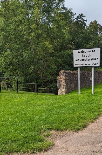
Unitary Authority: South Gloucestershire
Police Authority: Avon and Somerset
What 3 Words
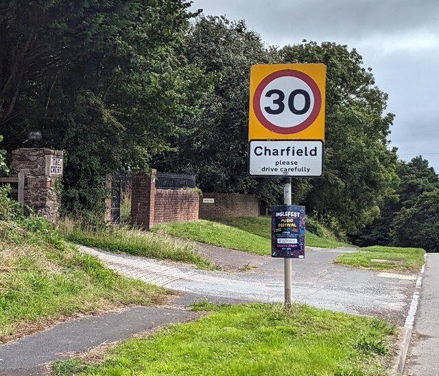
///promises.linguists.dislikes. Near Charfield, Gloucestershire
Nearby Locations
Related Wikis

Cullimore's Quarry
Cullimore's Quarry (grid reference ST721927) is a 0.9 hectare geological Site of Special Scientific Interest near the village of Charfield, South Gloucestershire...

Charfield
Charfield is a village and civil parish in Gloucestershire, England, south-west of Wotton-under-Edge near the Little Avon River and the villages of Falfield...
Charfield railway disaster
The Charfield railway disaster was a fatal train crash which occurred on 13 October 1928 in the village of Charfield in the English county of Gloucestershire...

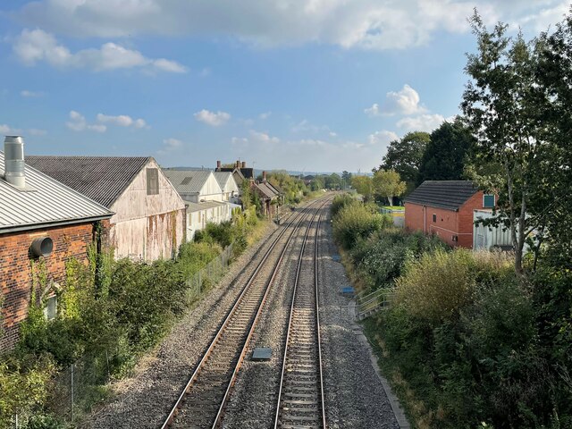
Charfield railway station
Charfield railway station served the village of Charfield in South Gloucestershire, England. The station was on the Bristol and Gloucester Railway, originally...

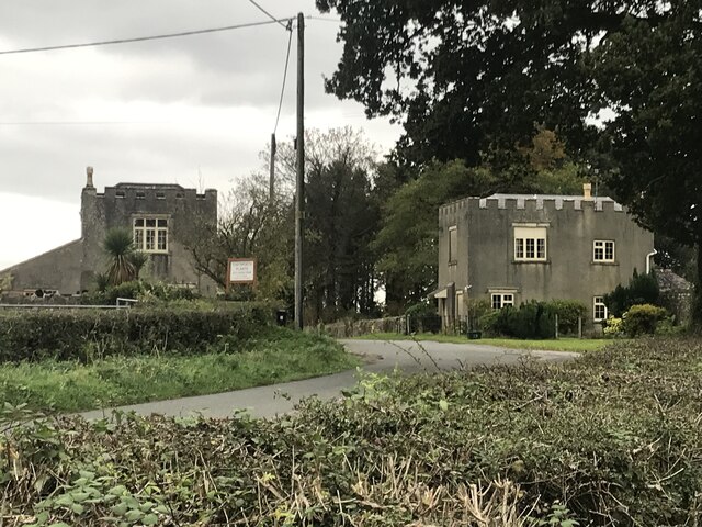
Tortworth
Tortworth is a small village and civil parish, near Thornbury in Gloucestershire, England. It has a population of 147 as of 2011. It lies on the B4509...

Slickstones Quarry, Cromhall
Slickstones Quarry, Cromhall (grid reference ST704916) is a 2.7 hectare geological Site of Special Scientific Interest near the village of Cromhall, South...
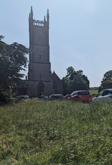
Tortworth Court
Tortworth Court is a Victorian mansion in Tortworth near Thornbury, South Gloucestershire. England. It was built in Tudor style for the 2nd Earl of Ducie...
Damery Road Section
Damery Road Section (grid reference ST705943) is a 0.5-hectare (1.2-acre) geological Site of Special Scientific Interest north of Tortworth, South Gloucestershire...
Nearby Amenities
Located within 500m of 51.633439,-2.4144338Have you been to Tortworth Copse?
Leave your review of Tortworth Copse below (or comments, questions and feedback).