Charfield Hill
Hill, Mountain in Gloucestershire
England
Charfield Hill
Charfield Hill is a prominent landform located in the county of Gloucestershire, England. Situated in the southern part of the county, it is part of the Cotswold Hills, a designated Area of Outstanding Natural Beauty. The hill is approximately 199 meters (653 feet) above sea level, making it a notable feature of the surrounding landscape.
Covered in lush greenery and offering stunning panoramic views of the surrounding countryside, Charfield Hill is a popular destination for hikers, nature enthusiasts, and those seeking a peaceful retreat. The hill is characterized by its gentle slopes and undulating terrain, which make it accessible to visitors of varying fitness levels.
At the summit of Charfield Hill, there is a trig point, which serves as a navigational marker and provides a focal point for those enjoying the views. On a clear day, it is possible to see for miles, with the River Severn meandering through the picturesque countryside.
The hill is also home to a diverse range of flora and fauna, with wildflowers, grasses, and shrubs thriving in the fertile soil. It provides a habitat for a variety of wildlife, including birds, butterflies, and small mammals.
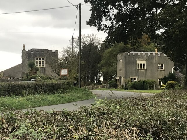
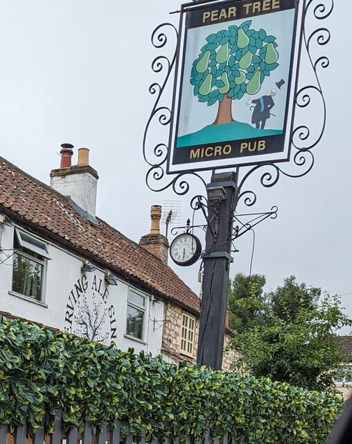
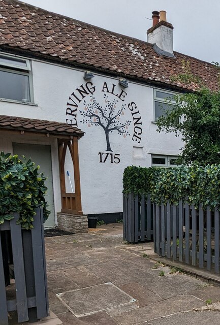
Adjacent to the hill, the village of Charfield offers amenities and services for visitors, including accommodation options, cafes, and pubs. The area also has a rich historical heritage, with evidence of human settlement dating back to the Iron Age.
Overall, Charfield Hill in Gloucestershire is a natural gem, offering visitors a chance to immerse themselves in the beauty of the Cotswolds and experience the tranquility of the English countryside.
If you have any feedback on the listing, please let us know in the comments section below.
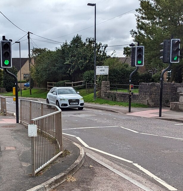
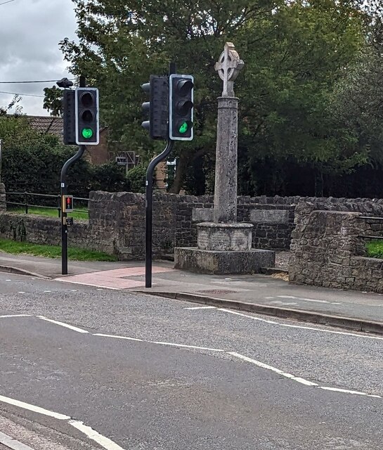
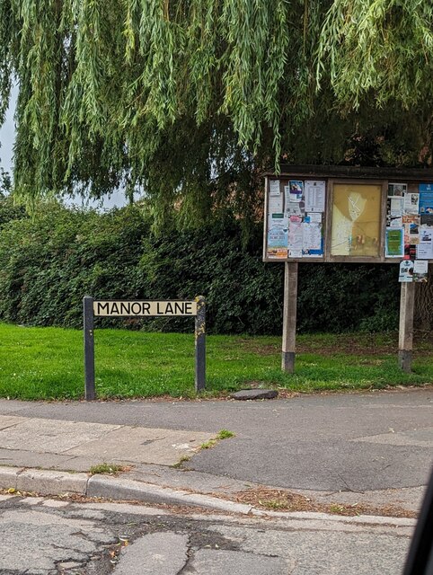
Charfield Hill Images
Images are sourced within 2km of 51.627353/-2.4165019 or Grid Reference ST7192. Thanks to Geograph Open Source API. All images are credited.


Charfield Hill is located at Grid Ref: ST7192 (Lat: 51.627353, Lng: -2.4165019)
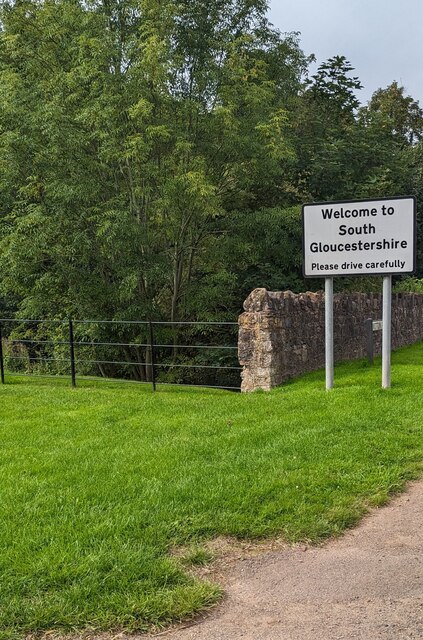
Unitary Authority: South Gloucestershire
Police Authority: Avon and Somerset
What 3 Words
///splendid.panting.applauded. Near Charfield, Gloucestershire
Nearby Locations
Related Wikis

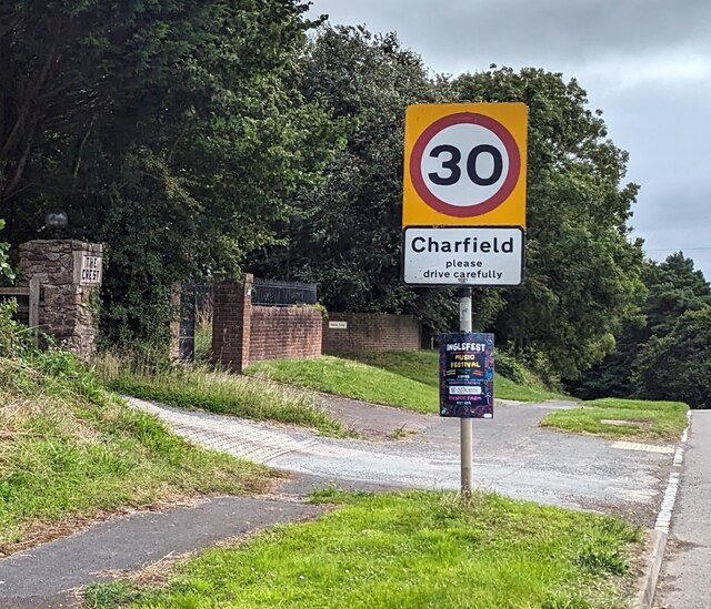
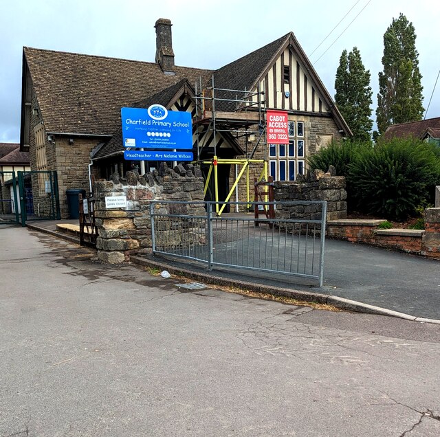
Charfield
Charfield is a village and civil parish in Gloucestershire, England, south-west of Wotton-under-Edge near the Little Avon River and the villages of Falfield...

Cullimore's Quarry
Cullimore's Quarry (grid reference ST721927) is a 0.9 hectare geological Site of Special Scientific Interest near the village of Charfield, South Gloucestershire...

Slickstones Quarry, Cromhall
Slickstones Quarry, Cromhall (grid reference ST704916) is a 2.7 hectare geological Site of Special Scientific Interest near the village of Cromhall, South...
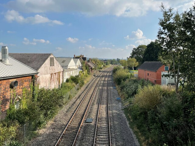
Charfield railway disaster
The Charfield railway disaster was a fatal train crash which occurred on 13 October 1928 in the village of Charfield in the English county of Gloucestershire...

Charfield railway station
Charfield railway station served the village of Charfield in South Gloucestershire, England. The station was on the Bristol and Gloucester Railway, originally...
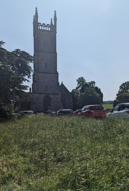
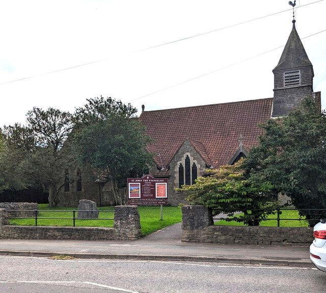
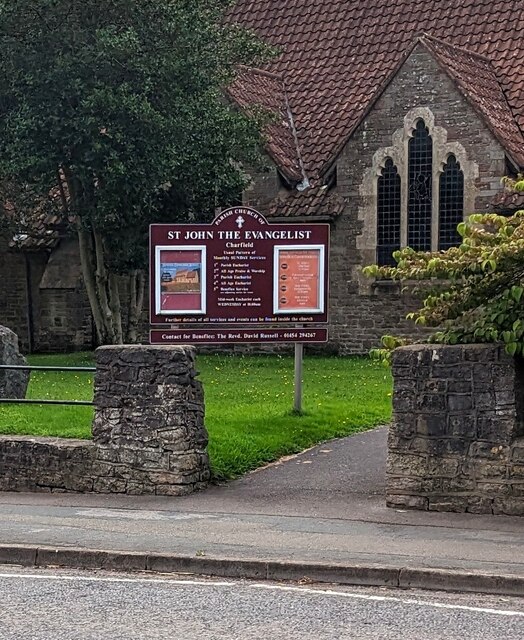
St James' Church, Charfield
St James' Church is a historic Anglican church at Churchend in the village of Charfield, Gloucestershire, England and is under the care of The Churches...

Tortworth
Tortworth is a small village and civil parish, near Thornbury in Gloucestershire, England. It has a population of 147 as of 2011. It lies on the B4509...

HM Prison Leyhill
HM Prison Leyhill is a Category D men's prison located in the parish of Tortworth in Gloucestershire, England. His Majesty's Prison Service operates Leyhill...
Nearby Amenities
Located within 500m of 51.627353,-2.4165019Have you been to Charfield Hill?
Leave your review of Charfield Hill below (or comments, questions and feedback).