Woodend Coppice

Wood, Forest in Gloucestershire Forest of Dean

England

Woodend Coppice

Bluebells and oaks Woodland edge by the lane to Ketford.
Bluebells and oaks Credit: Jonathan Billinger

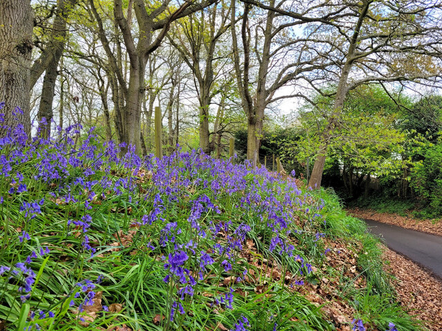
Woodend Coppice is a charming woodland located in the county of Gloucestershire, England. Situated in the heart of the Forest of Dean, this ancient coppice is a haven for nature enthusiasts and those seeking tranquility within a picturesque setting. Spanning an area of approximately 50 acres, Woodend Coppice is renowned for its diverse range of tree species and thriving wildlife.

The woodland's name derives from the traditional practice of coppicing, which involves cutting the trees close to the ground to promote regrowth. This sustainable method has been practiced in Woodend Coppice for centuries, resulting in a dense and varied tree canopy. Visitors can expect to encounter a rich tapestry of oak, beech, ash, and birch trees, among others, creating a vibrant and ever-changing landscape throughout the seasons.

The forest floor is adorned with a myriad of wildflowers, ferns, and mosses, adding to the enchanting atmosphere of Woodend Coppice. Bird watchers will delight in the opportunity to spot various species, including the elusive tawny owl, woodpeckers, and warblers. Additionally, the woodland is home to a diverse array of mammals, such as foxes, badgers, and deer.

Woodend Coppice offers numerous walking trails, allowing visitors to explore its natural wonders at their own pace. The marked paths meander through the woodland, revealing hidden glades, babbling brooks, and ancient trees. The air is filled with the soothing sounds of nature, making it an ideal destination for those seeking solace and a break from the pressures of modern life.

In conclusion, Woodend Coppice in Gloucestershire is a captivating woodland that showcases the beauty of the Forest of Dean. With its remarkable variety of trees, abundant wildlife, and serene atmosphere, it offers a memorable experience for nature lovers and anyone seeking a peaceful retreat in the heart of nature.

If you have any feedback on the listing, please let us know in the comments section below.

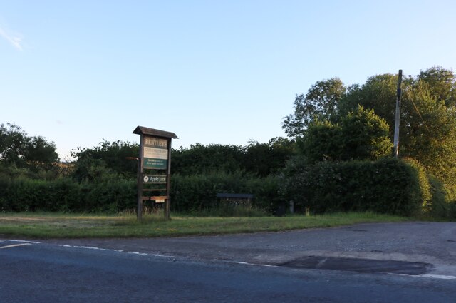
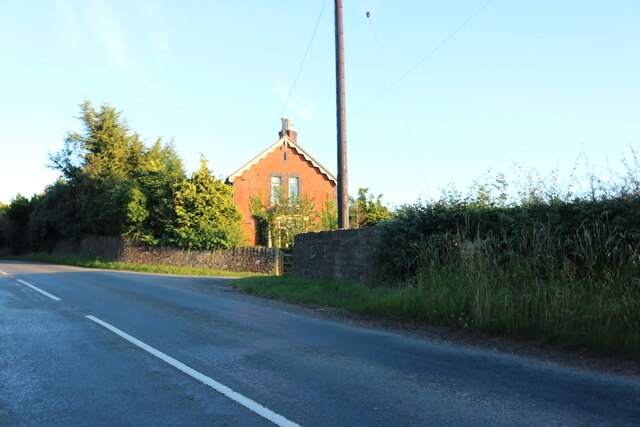
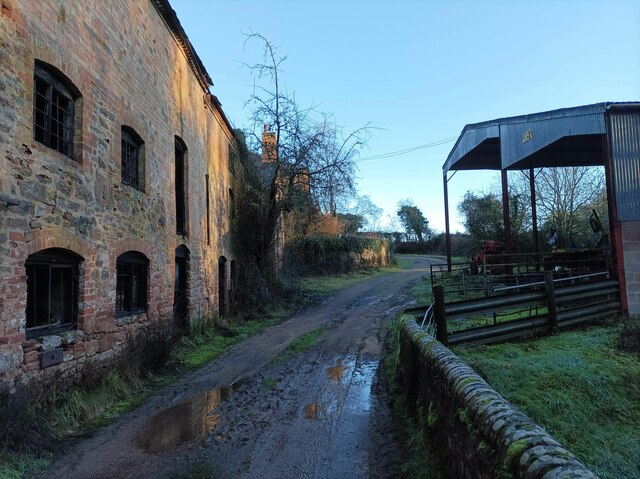
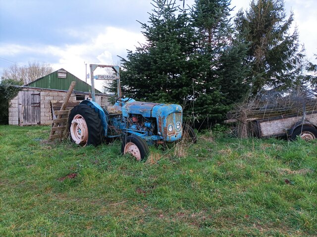
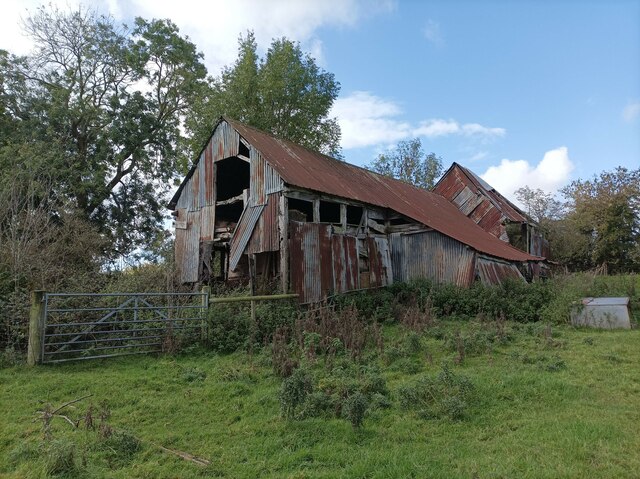
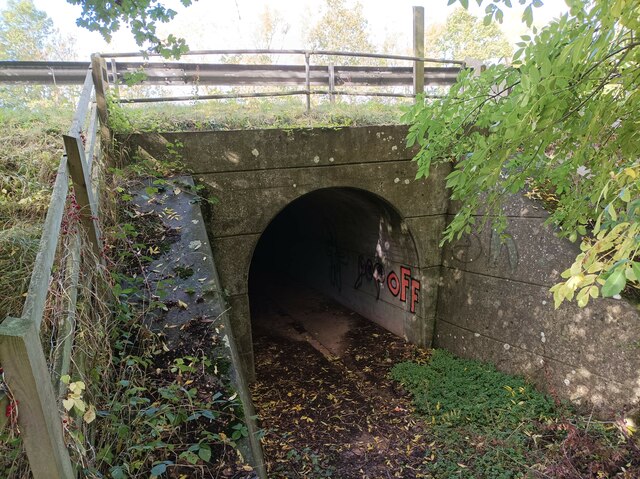
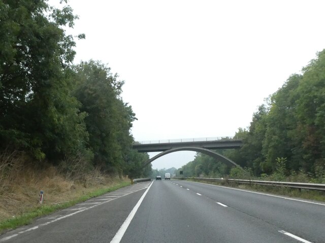
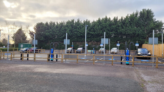
Woodend Coppice Images

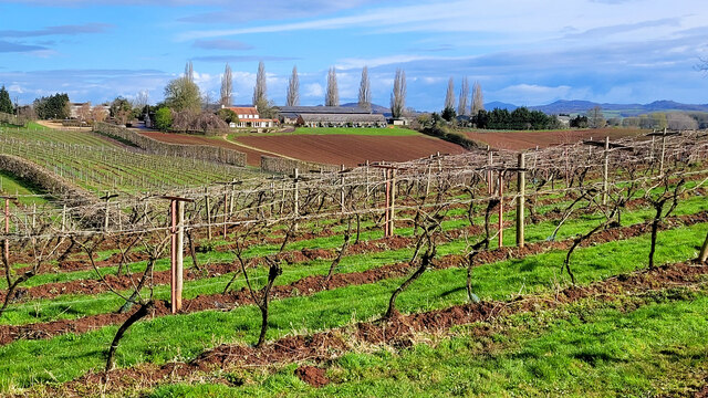
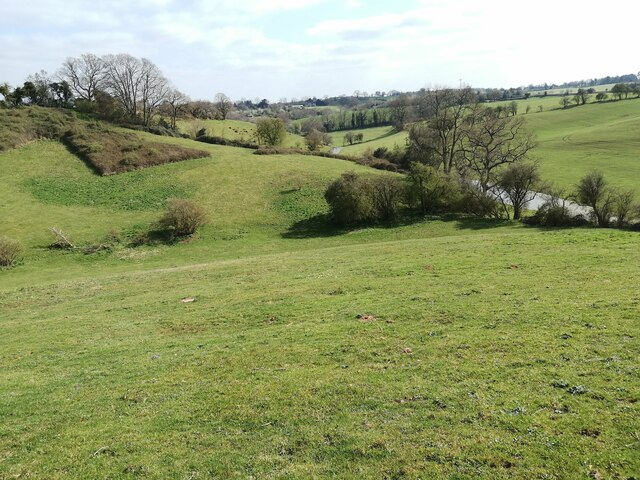
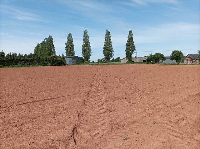
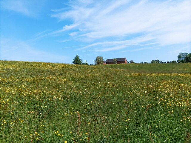
Images are sourced within 2km of 51.968596/-2.4175201 or Grid Reference SO7130. Thanks to Geograph Open Source API. All images are credited.

Bluebells and oaks Woodland edge by the lane to Ketford.
Bluebells and oaks
Woodland edge by the lane to Ketford.
Covered area at the garden centre Three Shires Garden Centre in late January.
The bulk of the colour comes from primroses.
Covered area at the garden centre
Three Shires Garden Centre in late January. The bulk of the colour comes from primroses.
Three Choirs Vineyard The March clouds crowd the sky above the source of Three Choirs fortune.
Three Choirs Vineyard
The March clouds crowd the sky above the source of Three Choirs fortune.
Boyce Court Boyce Court viewed from the Daffodil Way.  The house was built in 1835 for Drummond family.  A fine looking Grade II listed early 19th century house beside a cedar tree.
Boyce Court
Boyce Court viewed from the Daffodil Way. The house was built in 1835 for Drummond family. A fine looking Grade II listed early 19th century house beside a cedar tree.
The entrance to Bentleys Castle Farm on Dymock Road
Dymock Road south of Dymock
Plant area at Three Shires Garden Centre Some very colourful Heucheras in the foreground.
Plant area at Three Shires Garden Centre
Some very colourful Heucheras in the foreground.
Durbridge Mill buildings Buildings alongside the track through Durbridge Mill Farm.
Durbridge Mill buildings
Buildings alongside the track through Durbridge Mill Farm.
Old tractor A rusty blue tractor on the edge of a field.
Old tractor
A rusty blue tractor on the edge of a field.
Three Choirs vineyard The main buildings in the centre and a distant view of the Malvern Hills.
Three Choirs vineyard
The main buildings in the centre and a distant view of the Malvern Hills.
Fields near Welsh House Lane Grassy fields and rolling hills near Welsh House Lane.
Fields near Welsh House Lane
Grassy fields and rolling hills near Welsh House Lane.
Footpath towards vineyard A footpath through a muddy field leading towards Three Choirs Vineyard.
Footpath towards vineyard
A footpath through a muddy field leading towards Three Choirs Vineyard.
Field of buttercups A large field of buttercups and other wildflowers.
Field of buttercups
A large field of buttercups and other wildflowers.
Abandoned barn A seemingly abandoned, rusty barn in a field near the M50.
Abandoned barn
A seemingly abandoned, rusty barn in a field near the M50.
M50 underpass footpath A small tunnel leading under the M50, defaced with graffiti.
M50 underpass footpath
A small tunnel leading under the M50, defaced with graffiti.
B4215 bridge over M50 One of the more eye-catching bridge designs of bridges over the M50.  When the motorway was opened, some of the publicity celebrated that each overbridge was different, though this was partly aesthetic design, partly engineering needs.
B4215 bridge over M50
One of the more eye-catching bridge designs of bridges over the M50. When the motorway was opened, some of the publicity celebrated that each overbridge was different, though this was partly aesthetic design, partly engineering needs.
Electric vehicle charging station A development off the car park at Three Shires Garden Centre.
Electric vehicle charging station
A development off the car park at Three Shires Garden Centre.
Show me another place!

Woodend Coppice is located at Grid Ref: SO7130 (Lat: 51.968596, Lng: -2.4175201)

Administrative County: Gloucestershire

District: Forest of Dean

Police Authority: Gloucestershire

What 3 Words

///damage.mush.apron. Near Donnington, Herefordshire

Related Wikis

Castle Tump, Dymock

Castle Tump was a castle in the village of Dymock in Gloucestershire, England. The castle was built in either the 11th or more probably the early 12th...

Pauntley

Pauntley is a village and civil parish in the district of Forest of Dean, Gloucestershire, England. In 2019 it had a population of 304. == School == Pauntley...

Ketford Bank

Ketford Bank (grid reference SO723308) is a 0.69-hectare (1.7-acre) nature reserve in Gloucestershire.The site is owned and managed by the Gloucestershire...

Vell Mill Daffodil Meadow

Vell Mill Daffodil Meadow (grid reference SO710314) is a 2.1-hectare (5.2-acre) nature reserve in Gloucestershire.The site is owned and managed by the...

Nearby Amenities

Located within 500m of 51.968596,-2.4175201
Phone
Emergency: phone
Source: survey
Lat/Long: 51.9688613/-2.4234494
Phone
Emergency: phone
Source: survey
Lat/Long: 51.9689678/-2.4237916
Mere Hills
Power: pole
Transformer: distribution
Voltage Primary: 11000
Lat/Long: 51.9670139/-2.4162948
Power: pole
Lat/Long: 51.9669114/-2.4178163
Power: pole
Lat/Long: 51.9668081/-2.4192587
Power: pole
Lat/Long: 51.9667623/-2.4200305
Little Wood End
Power: pole
Transformer: distribution
Voltage Primary: 11000
Lat/Long: 51.9671523/-2.4206205
Power: pole
Lat/Long: 51.9675385/-2.4211677
Power: pole
Lat/Long: 51.9679608/-2.4217551
Power: pole
Lat/Long: 51.9684458/-2.4225189
Power: pole
Lat/Long: 51.9684164/-2.4233946
Power: pole
Lat/Long: 51.9683941/-2.4243817
Barrier: stile
Lat/Long: 51.9656174/-2.4167667
The data included in this document is from www.openstreetmap.org. The data is made available under ODbL.

Have you been to Woodend Coppice?

Leave your review of Woodend Coppice below (or comments, questions and feedback).