Brockham Wood
Wood, Forest in Somerset
England
Brockham Wood

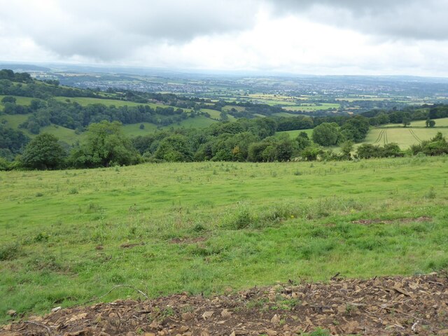
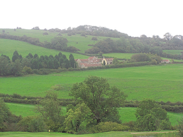
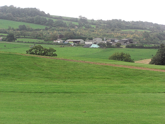
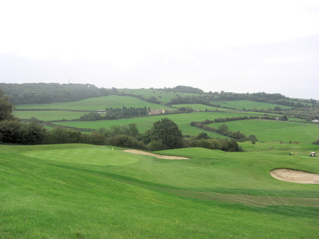
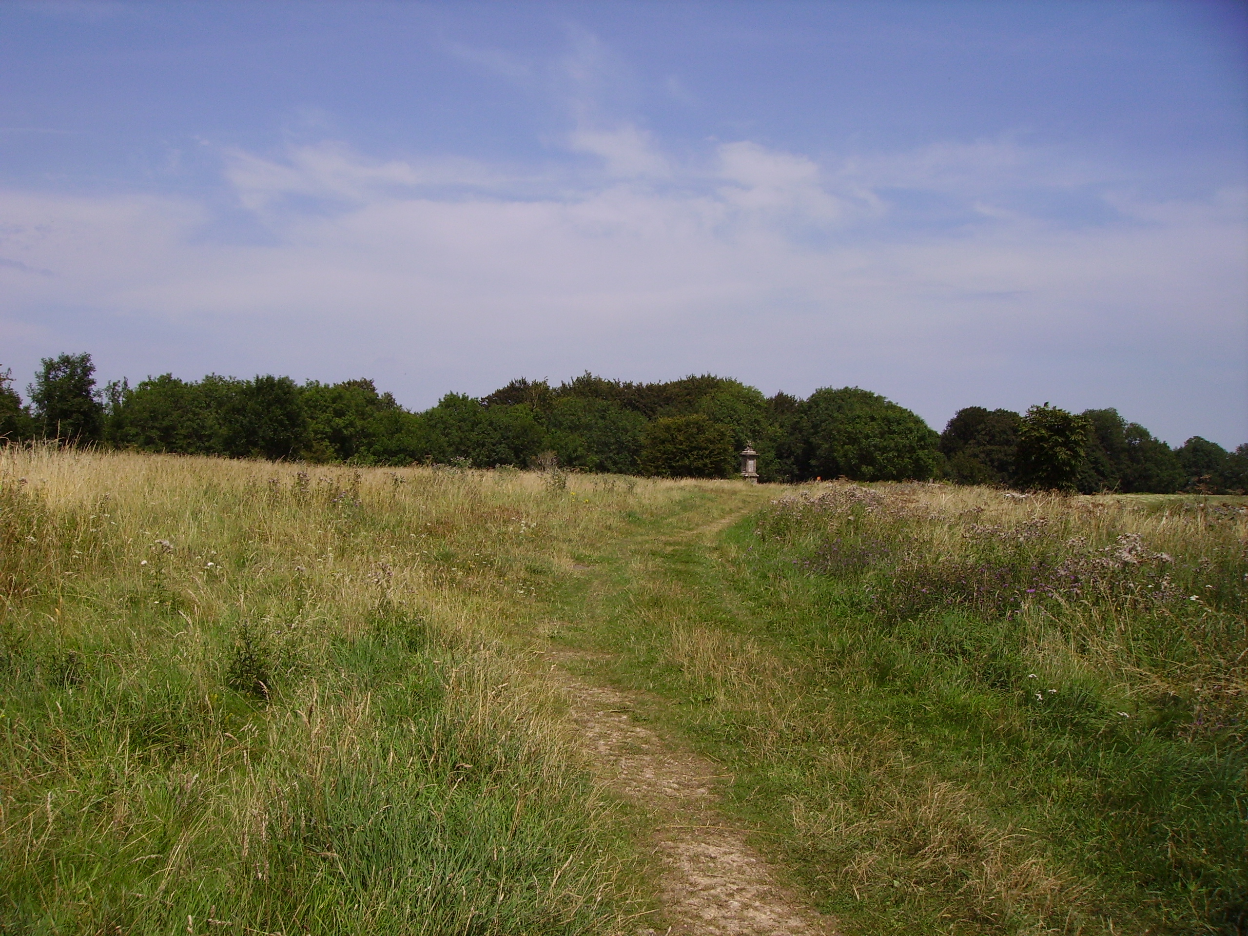
Brockham Wood, located in Somerset, England, is a picturesque woodland area that spans over several acres. Nestled amidst the rolling hills of the Somerset countryside, this woodland is a haven for nature enthusiasts and those seeking tranquility away from the bustling city life.
The woodland is predominantly covered with a diverse range of tree species, including oak, beech, ash, and birch, creating a lush and verdant landscape throughout the year. The rich and fertile soil supports a carpet of wildflowers, adding bursts of color to the woodlands during spring and summer.
Brockham Wood is home to a plethora of wildlife, making it a popular spot for birdwatchers and animal lovers. Visitors can catch a glimpse of various bird species, such as song thrushes, woodpeckers, and owls, as they flutter through the trees or perch on branches. Squirrels scurry along the forest floor, while rabbits and deer can occasionally be spotted grazing peacefully.
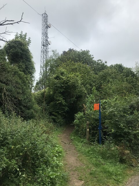
The wood is intersected by a network of well-maintained footpaths, allowing visitors to explore its beauty at their own pace. Whether one chooses to embark on a leisurely stroll, a challenging hike, or a peaceful picnic, Brockham Wood offers something for everyone.
Conservation efforts are in place to protect the natural habitat and maintain the ecological balance of the woodland. Visitors are encouraged to respect the environment and adhere to designated trails to minimize disruption to the delicate ecosystem.
Overall, Brockham Wood in Somerset is an idyllic destination for nature lovers, offering a serene escape from the hustle and bustle of everyday life.
If you have any feedback on the listing, please let us know in the comments section below.
Brockham Wood Images
Images are sourced within 2km of 51.422229/-2.409413 or Grid Reference ST7169. Thanks to Geograph Open Source API. All images are credited.


Brockham Wood is located at Grid Ref: ST7169 (Lat: 51.422229, Lng: -2.409413)
Unitary Authority: Bath and North East Somerset
Police Authority: Avon and Somerset
What 3 Words
///opinion.behalf.chats. Near Bitton, Gloucestershire
Nearby Locations
Related Wikis

Congrove Field and The Tumps
Congrove Field and The Tumps is a (grid reference ST713698) is a 14.2 hectares (35 acres) biological Site of Special Scientific Interest (SSSI) on Lansdown...

Bath Racecourse
Bath Racecourse is a thoroughbred horse racing venue on Lansdown Hill, about 3+1⁄4 miles (5.2 km) northeast of Bath, Somerset, England. It is owned and...
Battle of Lansdowne
The First English Civil War battle of Lansdowne, or Lansdown, was fought on 5 July 1643, at Lansdowne Hill, near Bath, Somerset, England. Although the...
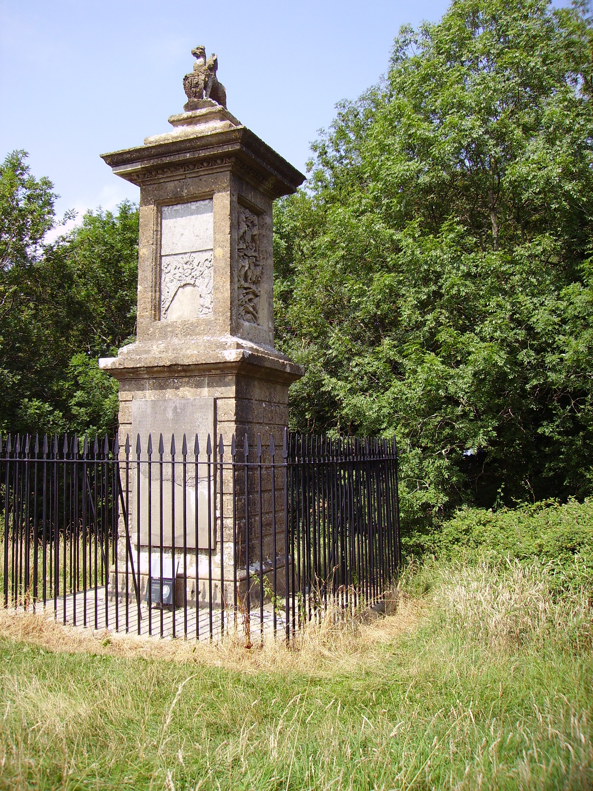
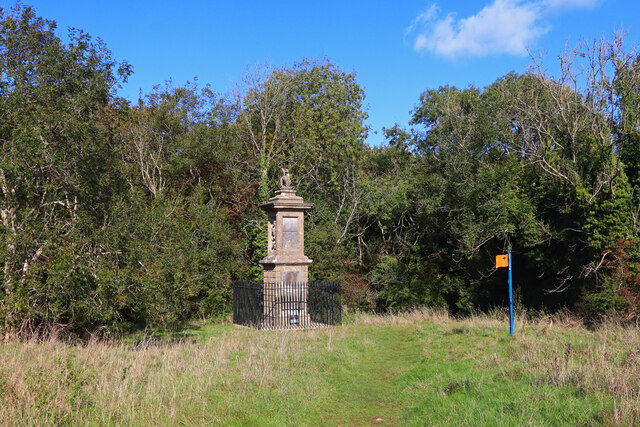
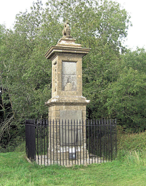
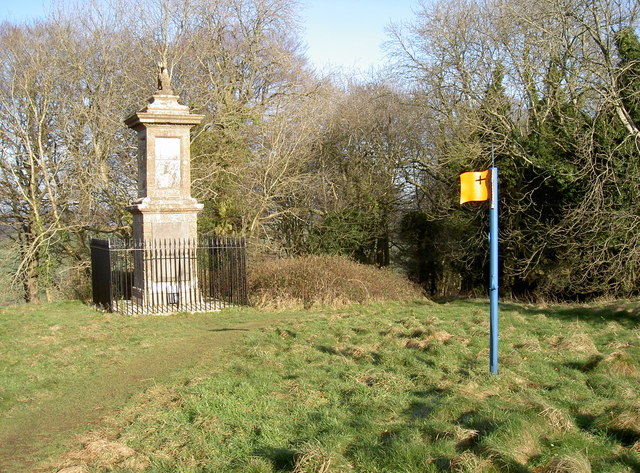
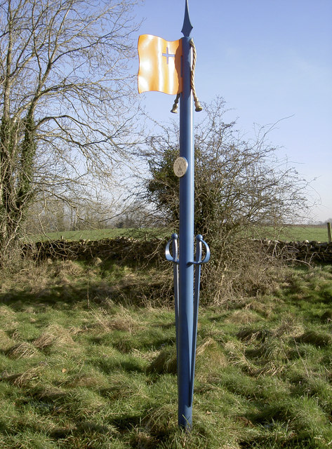
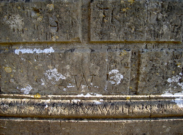
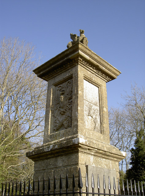
Sir Bevil Grenville's Monument
Sir Bevil Grenville's Monument is a monument erected in 1720 on Lansdown Hill, then called Lansdowne Hill, in Charlcombe parish about 4 miles (6.4 km)...
Related Videos

Kelston Roundhill walk Bath 21st April 2024
5.5 miles walk from the top of Lansdown lane, along the Cotswold way towards Prospect Stile - Kelston Roundhill - Racecourse.

A hike up to Kelston Roundhill
On a grey friday in January I took myself, my cameras and my Lowa hiking boots up the muddy paths to Kelston Roundhill in Bath.

A night in the Somerset Countryside, England (Travel Vlog)
My first travel vlog.. Join me in the Somerset Countryside in England! Follow what I am up to: . My Blog- ...

Bath Marina. Even boats struggled in the floods! #floods #flooding #bath #somerset #travel #holidays
We see the boats in Bath Marina are having trouble. The residents can't get off their boats due to the river Avon breaking its banks.
Nearby Amenities
Located within 500m of 51.422229,-2.409413Have you been to Brockham Wood?
Leave your review of Brockham Wood below (or comments, questions and feedback).