Brockham Park
Settlement in Surrey Mole Valley
England
Brockham Park

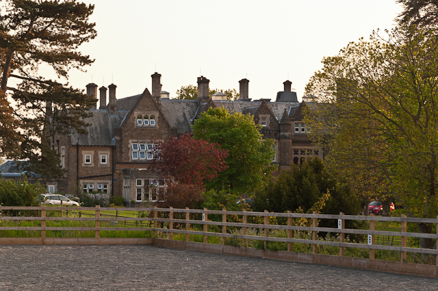
Brockham Park is a picturesque estate located in Surrey, England. Situated in the village of Brockham, the park covers an area of approximately 750 acres and is renowned for its natural beauty and rich history. The park is privately owned and has been in the hands of the same family for over three centuries.
The centerpiece of Brockham Park is the magnificent Brockham House, a Grade II listed mansion built in the early 18th century. The house is a fine example of Georgian architecture, featuring elegant proportions, intricate detailing, and stunning landscaped gardens. It is surrounded by rolling hills, woodlands, and meadows, creating a tranquil and idyllic setting.
The park is also home to an abundance of wildlife, including deer, foxes, and various bird species. Its diverse ecosystem provides a haven for nature enthusiasts and offers opportunities for walking, birdwatching, and photography.
In addition to its natural beauty, Brockham Park has historical significance. It played a role during World War II, serving as a training ground for soldiers. Today, remnants of military infrastructure can still be found within the estate.
Brockham Park is not open to the public, but its splendor can be admired from a distance. The estate is visible from public footpaths that traverse the surrounding countryside, allowing visitors to appreciate its grandeur and enjoy the peacefulness it offers.
If you have any feedback on the listing, please let us know in the comments section below.
Brockham Park Images
Images are sourced within 2km of 51.214287/-0.275417 or Grid Reference TQ2047. Thanks to Geograph Open Source API. All images are credited.


Brockham Park is located at Grid Ref: TQ2047 (Lat: 51.214287, Lng: -0.275417)
Administrative County: Surrey
District: Mole Valley
Police Authority: Surrey
What 3 Words
///squad.income.took. Near Dorking, Surrey
Nearby Locations
Related Wikis
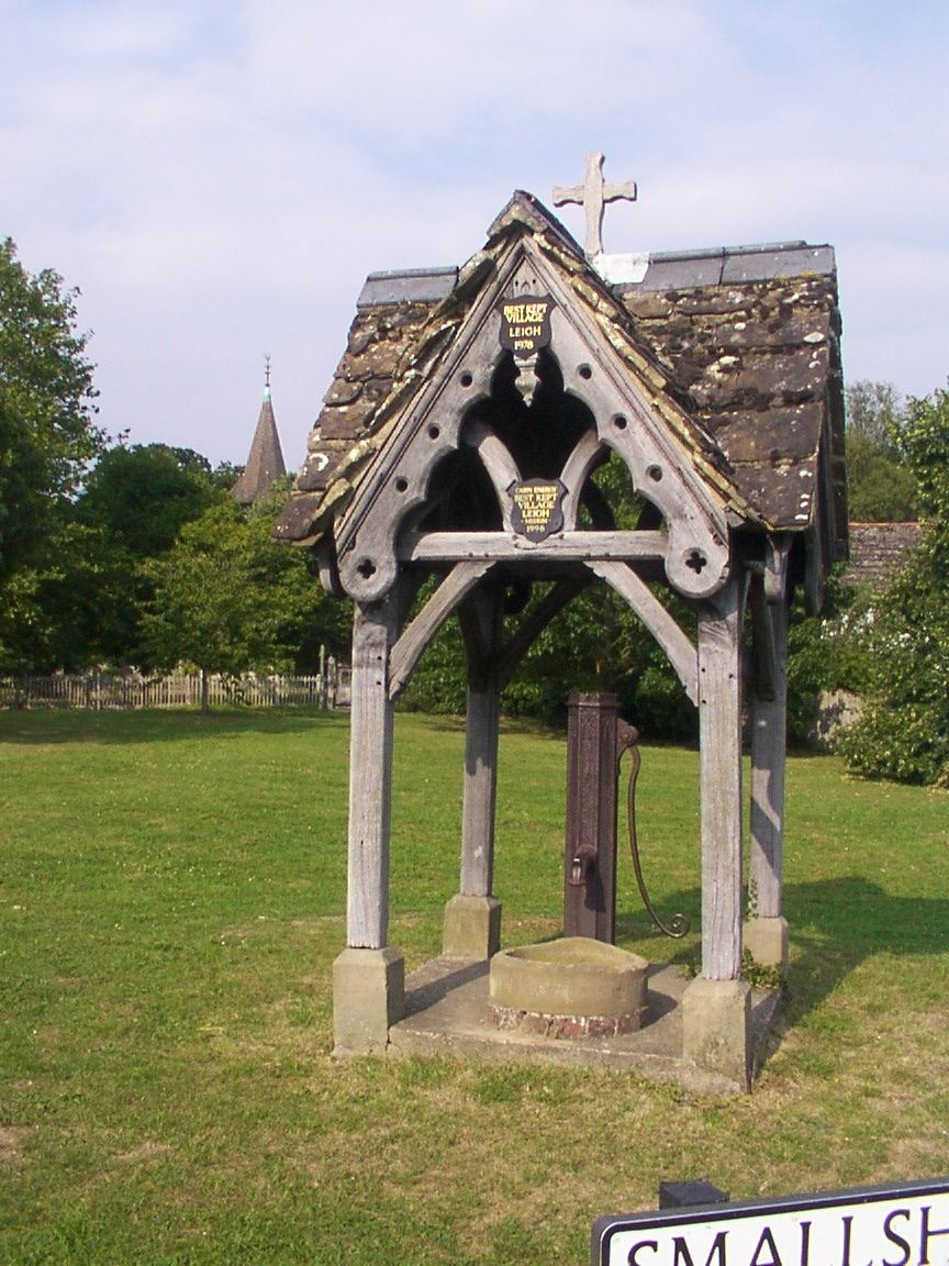
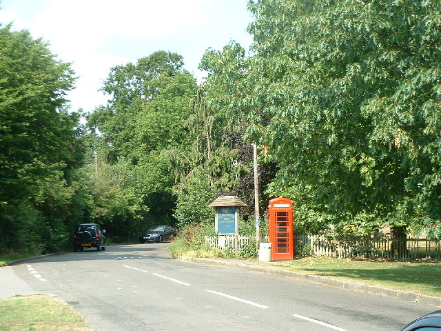
Leigh, Surrey
Leigh is a village and civil parish in Surrey, between Reigate, Dorking and Charlwood in the east of Mole Valley district. The village centre is suburban...

Betchworth
Betchworth is a village and civil parish in the Mole Valley district of Surrey, England. The village centre is on the north bank of the River Mole and...

Brockham
Brockham is a village and civil parish in the Mole Valley district of Surrey, England. It is approximately 1.5 miles (2.4 km) east of Dorking and 4 miles...

Wotton Hundred
The Hundred of Wotton, Wotton Hundred or Dorking Hundred was a hundred in Surrey, England. The hundred comprised a south-central portion of the county...
Hartsfield Manor
Hartsfield Manor is an early Victorian house of historical significance located in Betchworth, Surrey, England. It was built in the 1860s as a private...
Moon Hall School
Moon Hall School, since 1952 an independent co-educational preparatory school at Leigh, near Reigate in Surrey, is currently, as of 2021, a special school...
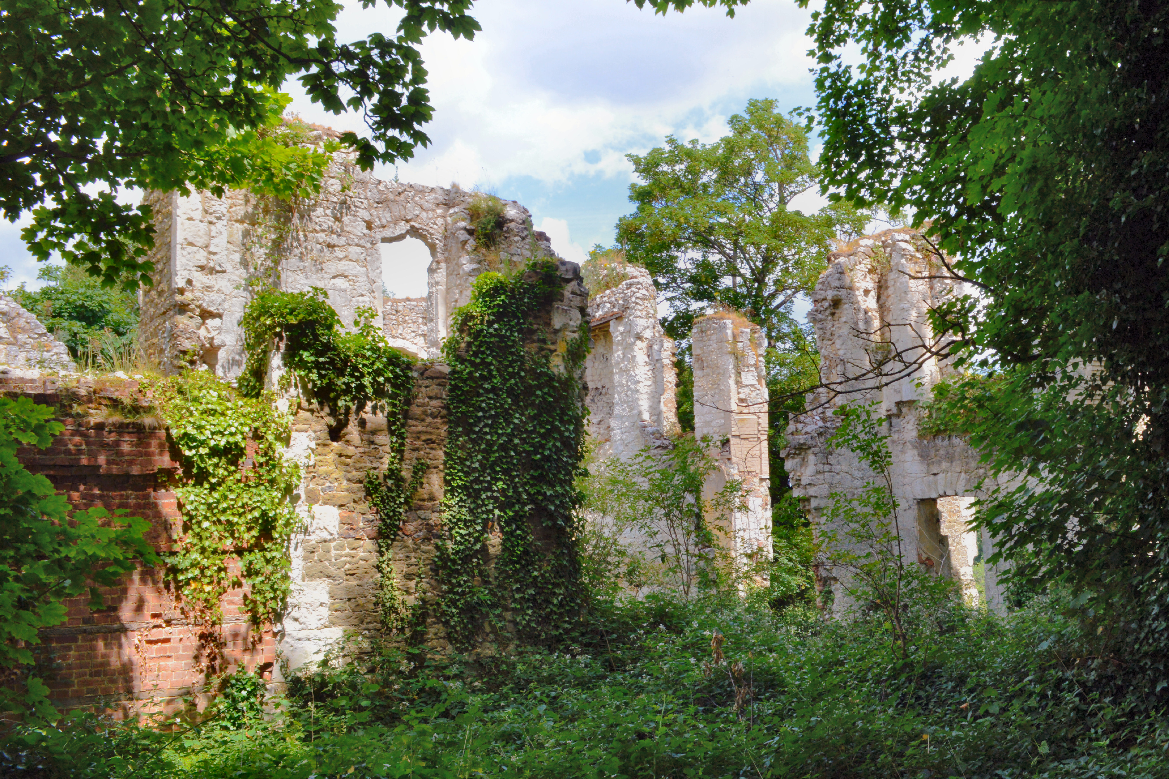
Betchworth Castle
Betchworth Castle is a mostly crumbled ruin of a fortified medieval stone house with some tall, two-storey corners strengthened in the 18th century, in...

Inholms Clay Pit
Inholms Clay Pit is a 8.4-hectare (21-acre) Local Nature Reserve south of Dorking in Surrey. It is owned by Mole Valley District Council and from 2009...
Nearby Amenities
Located within 500m of 51.214287,-0.275417Have you been to Brockham Park?
Leave your review of Brockham Park below (or comments, questions and feedback).