Brockham
Settlement in Surrey Mole Valley
England
Brockham

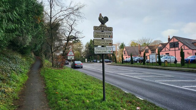
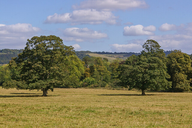
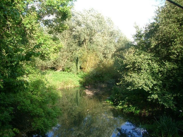
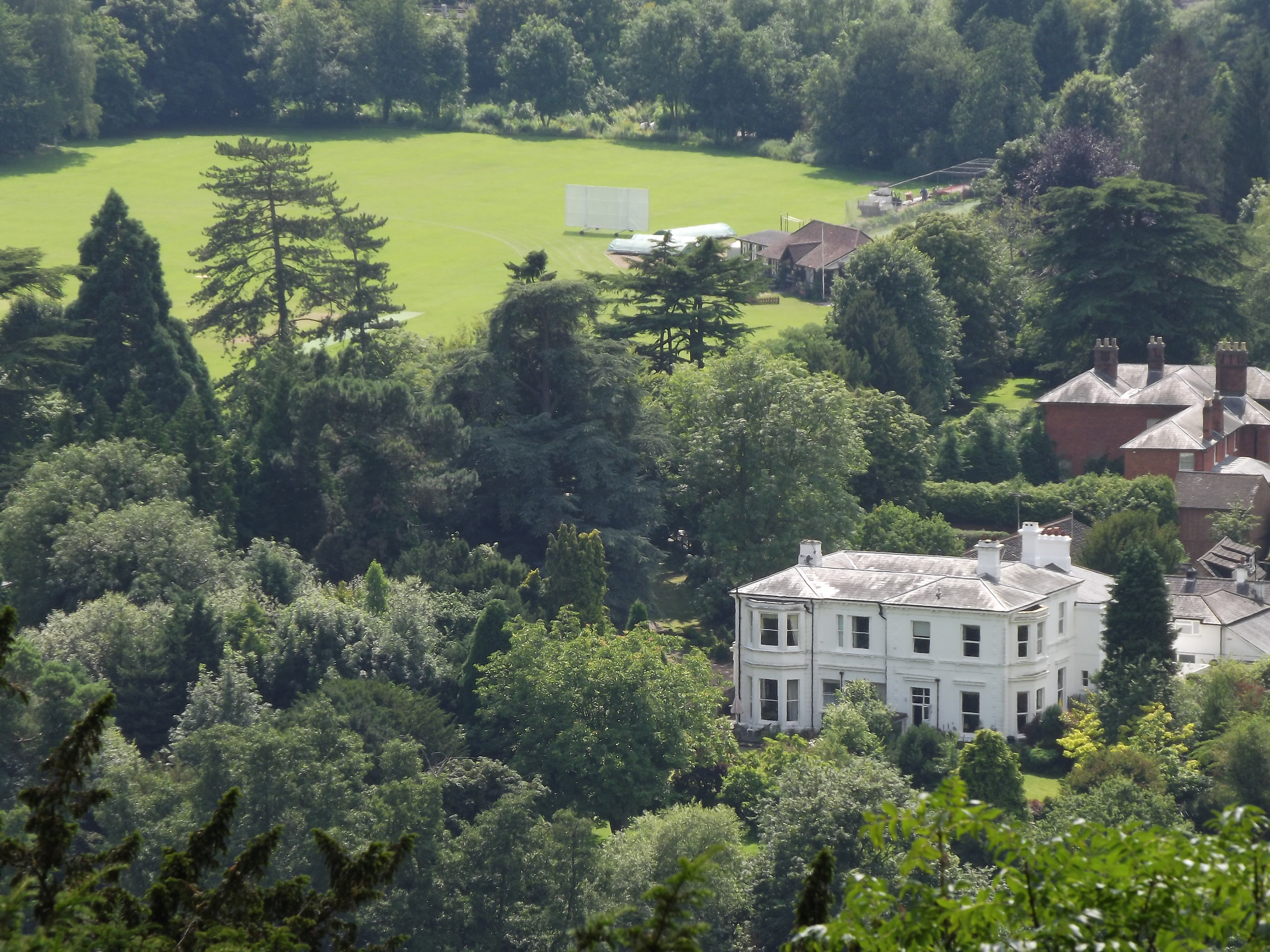
Brockham is a small village situated in the county of Surrey, England. It is located about three miles east of Dorking and approximately 20 miles south of London. This picturesque village is nestled in the heart of the North Downs, an area known for its stunning natural beauty and rolling hills.
Brockham is home to a close-knit community of around 2,500 residents. The village boasts a rich history, with evidence of human habitation dating back to prehistoric times. One of the notable landmarks in Brockham is St. Michael and All Angels Church, a charming medieval church that stands as a testament to the village's heritage.
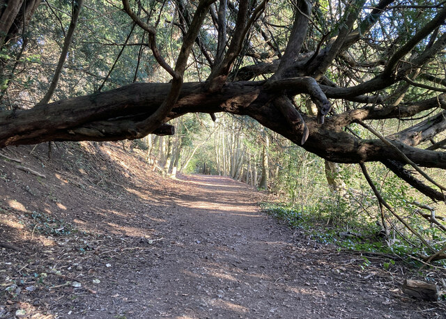
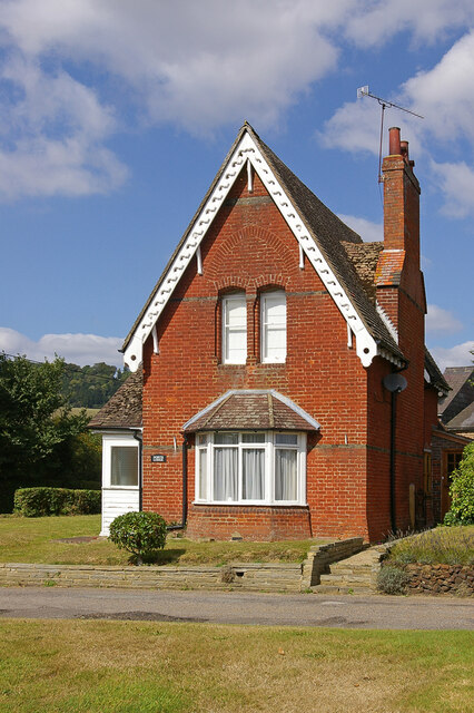
Despite its size, Brockham offers a range of amenities to its residents. The village has a primary school, a community hall, and a local pub, The Royal Oak, which serves as a social hub for locals and visitors alike. The surrounding countryside provides ample opportunities for outdoor activities such as hiking, cycling, and horse riding.
Brockham is also famous for its annual Brockham Bonfire, a traditional event held on November 5th to commemorate Guy Fawkes Night. The celebrations include a procession, a bonfire, and a spectacular fireworks display, attracting visitors from near and far.
With its scenic landscape, historical charm, and strong sense of community, Brockham offers a peaceful and idyllic setting for residents and visitors seeking a quintessential English village experience.
If you have any feedback on the listing, please let us know in the comments section below.
Brockham Images
Images are sourced within 2km of 51.232579/-0.287052 or Grid Reference TQ1949. Thanks to Geograph Open Source API. All images are credited.


Brockham is located at Grid Ref: TQ1949 (Lat: 51.232579, Lng: -0.287052)
Administrative County: Surrey
District: Mole Valley
Police Authority: Surrey
What 3 Words
///forum.clips.photos. Near Dorking, Surrey
Related Wikis

Brockham
Brockham is a village and civil parish in the Mole Valley district of Surrey, England. It is approximately 1.5 miles (2.4 km) east of Dorking and 4 miles...
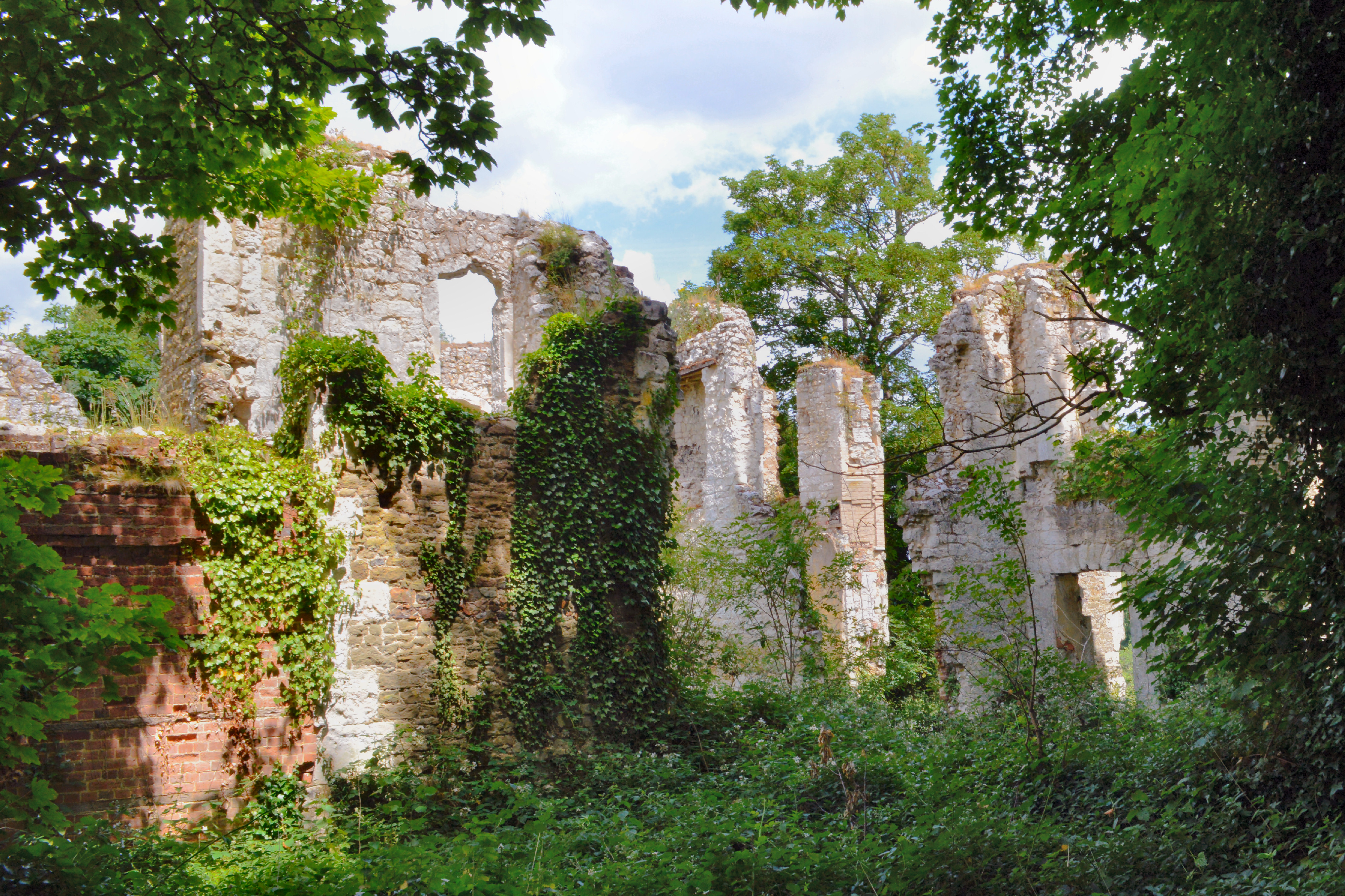
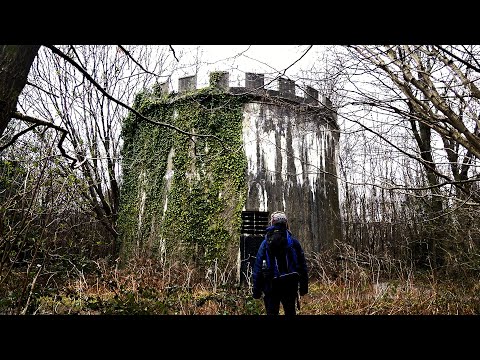
Betchworth Castle
Betchworth Castle is a mostly crumbled ruin of a fortified medieval stone house with some tall, two-storey corners strengthened in the 18th century, in...

Betchworth
Betchworth is a village and civil parish in the Mole Valley district of Surrey, England. The village centre is on the north bank of the River Mole and...
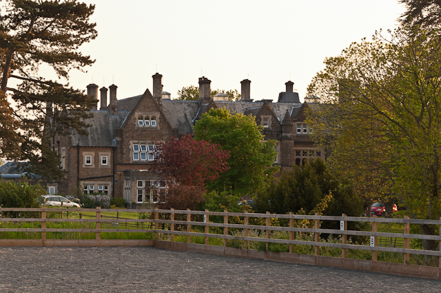
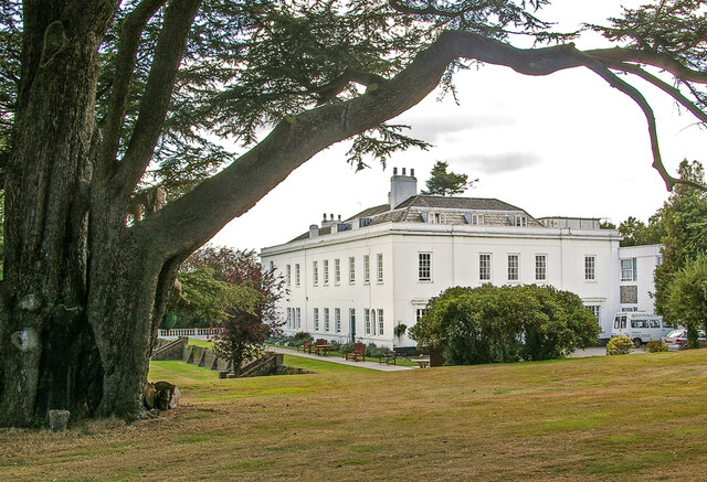
Hartsfield Manor
Hartsfield Manor is an early Victorian house of historical significance located in Betchworth, Surrey, England. It was built in the 1860s as a private...
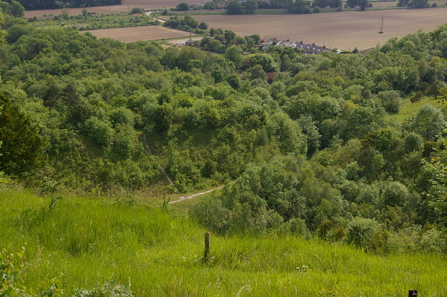
Brockham Limeworks
Brockham Limeworks is a 45-hectare (110-acre) nature reserve north of Brockham in Surrey. It is owned by Surrey County Council. Part of it is a Scheduled...

Deepdene Terrace
Deepdene Terrace is a 4-hectare (9.9-acre) nature reserve south-east of Dorking in Surrey. It is owned by Mole Valley District Council and managed by...
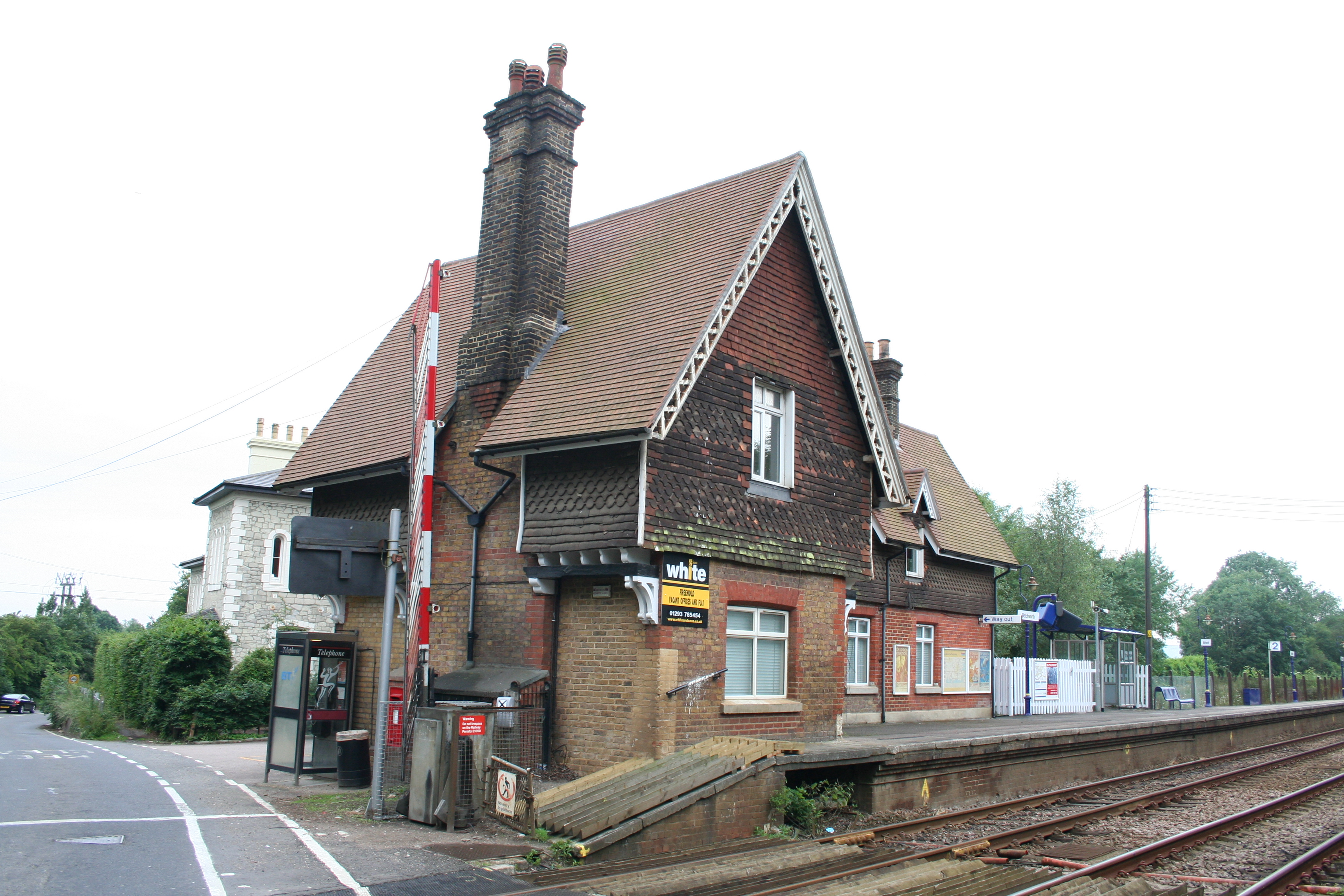
Betchworth railway station
Betchworth railway station serves the village of Betchworth in Surrey, England. It is on the North Downs Line, 27 miles 17 chains (27.21 miles, 43.79 km...
Pixham
Pixham is a chapelry (small village) within the parish of Dorking, Surrey on the near side of the confluence of the River Mole and the Pipp Brook to its...
Related Videos
Hiking to Hidden Gems in the Surrey Hills | Lejog Training Ep.16
In this hiking vlog I explore some of the awesome hidden gems found in the Surrey Hills. Including a hidden tower on Box hill and ...
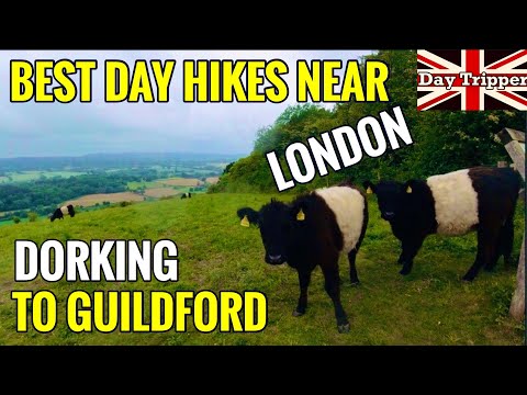
Best Day Hikes Near London- Dorking to Guildford North Downs Way| Day Tripper Vlog #37
Best Day Hikes Near London- Dorking to Guildford North Downs Way. Less than 1 hour train journey from London Victoria you ...

Epic Hiking Expedition: Leatherhead to Box Hill with London's Hiking in London Club
My Experience with the Hiking in London Club at Leatherhead to Box Hill Last Saturday, I embarked on one of the most ...

Hiking with Strangers Vlog // BOX HILL SURREY
YES! You read the title right, last weekend I went hiking with a group of strangers from across the internet at Box Hill Surrey.
Nearby Amenities
Located within 500m of 51.232579,-0.287052Have you been to Brockham?
Leave your review of Brockham below (or comments, questions and feedback).