Brockham
Civil Parish in Surrey Mole Valley
England
Brockham
Brockham is a small village and civil parish located in the county of Surrey, England. Situated approximately 25 miles south of London, it is nestled within the picturesque North Downs, surrounded by lush green fields and rolling hills.
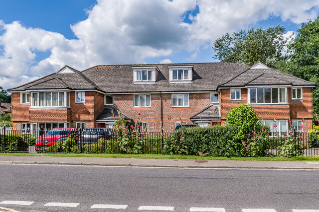
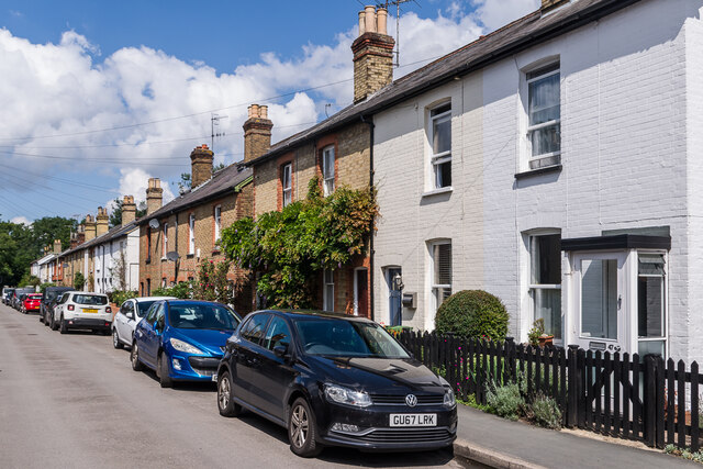
The village itself is characterized by its quaint and charming atmosphere, with a population of around 2,500 residents. It is primarily a residential area, with a mix of traditional cottages and more modern houses. The community is close-knit, with a strong sense of local pride.
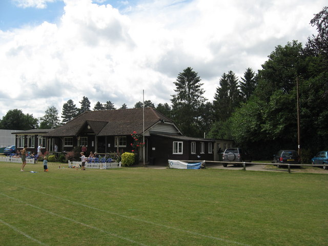
Brockham is home to several amenities and facilities that cater to the needs of its residents. These include a primary school, a village hall, and a local shop that provides essentials and everyday items. The village also boasts a cricket club, which plays an important role in the social life of the community.
One of the notable features of Brockham is its rich history. The village dates back to the Saxon era and has several historic buildings, such as St. Michael and All Angels Church, which dates back to the 12th century. The area is also known for its sandstone quarry, which played a significant role in the construction of some famous London landmarks, including Buckingham Palace and the Houses of Parliament.
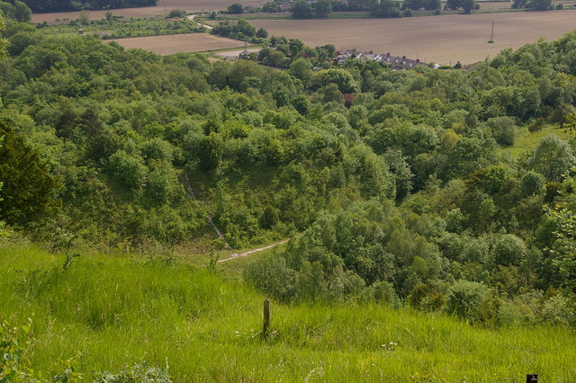
Surrounded by beautiful countryside, Brockham offers its residents and visitors ample opportunities for outdoor activities. The village is close to Box Hill, a popular destination for hiking and cycling enthusiasts, and the nearby River Mole provides opportunities for fishing and boating.
In summary, Brockham is a charming village in Surrey that offers a peaceful and idyllic lifestyle. With its rich history, beautiful surroundings, and strong community spirit, it is an attractive place to live and visit.
If you have any feedback on the listing, please let us know in the comments section below.
Brockham Images
Images are sourced within 2km of 51.234831/-0.294087 or Grid Reference TQ1949. Thanks to Geograph Open Source API. All images are credited.


Brockham is located at Grid Ref: TQ1949 (Lat: 51.234831, Lng: -0.294087)
Administrative County: Surrey
District: Mole Valley
Police Authority: Surrey
What 3 Words
///parent.skinny.jumped. Near Dorking, Surrey
Related Wikis
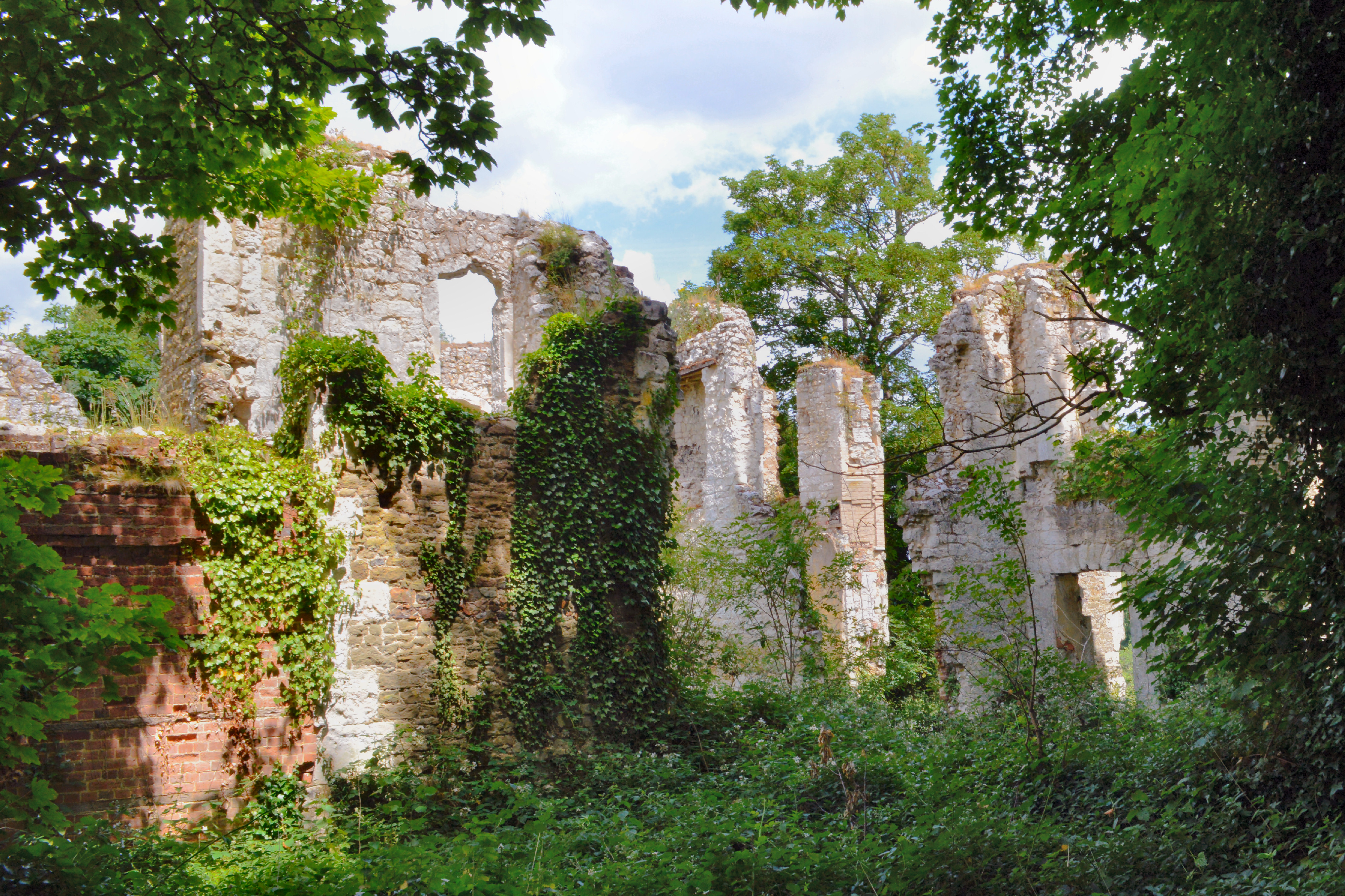
Betchworth Castle
Betchworth Castle is a mostly crumbled ruin of a fortified medieval stone house with some tall, two-storey corners strengthened in the 18th century, in...

Brockham
Brockham is a village and civil parish in the Mole Valley district of Surrey, England. It is approximately 1.5 miles (2.4 km) east of Dorking and 4 miles...

Deepdene Terrace
Deepdene Terrace is a 4-hectare (9.9-acre) nature reserve south-east of Dorking in Surrey. It is owned by Mole Valley District Council and managed by...
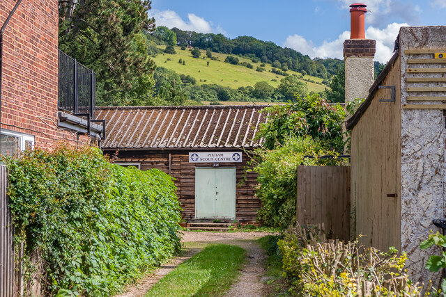
Pixham
Pixham is a chapelry (small village) within the parish of Dorking, Surrey on the near side of the confluence of the River Mole and the Pipp Brook to its...
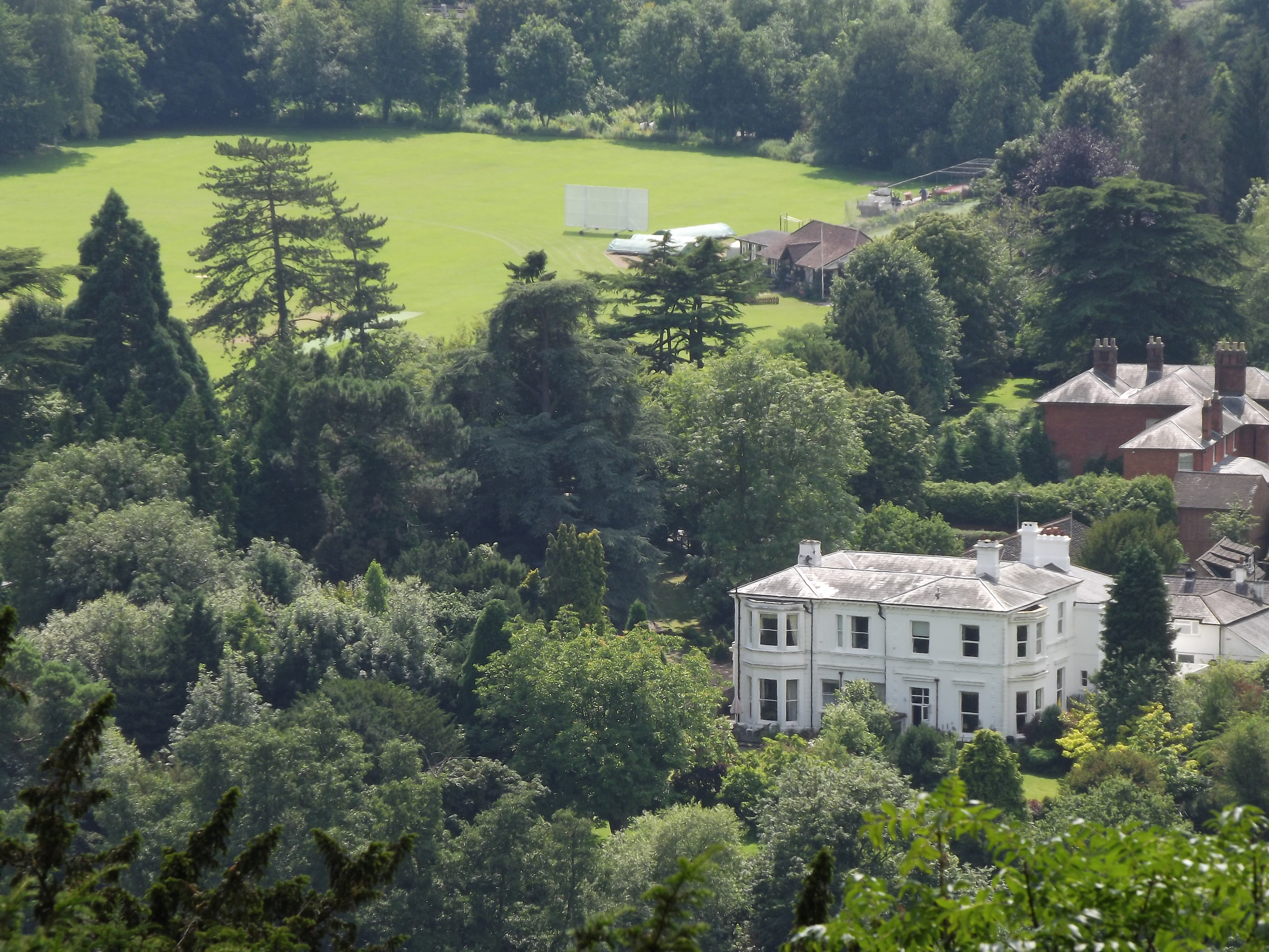
Dorking Cricket Club Ground
Dorking Cricket Club Ground is a cricket ground in Dorking, Surrey. The first recorded match on the ground was in 1993, when the ground hosted a single...

Betchworth
Betchworth is a village and civil parish in the Mole Valley district of Surrey, England. The village centre is on the north bank of the River Mole and...

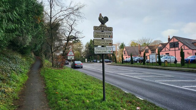
Dorking Cockerel
The Dorking Cockerel is a sculpture on Deepdene roundabout in Dorking, Surrey, England. It depicts a male Dorking chicken, which were historically an...
Brockham Limeworks
Brockham Limeworks is a 45-hectare (110-acre) nature reserve north of Brockham in Surrey. It is owned by Surrey County Council. Part of it is a Scheduled...
Nearby Amenities
Located within 500m of 51.234831,-0.294087Have you been to Brockham?
Leave your review of Brockham below (or comments, questions and feedback).